
Presenting no obstacle to our free movement this Gö Gravel cycle tour saw us cross several active and defunct borders. The ride compliments the All Along the Watchtower both being linked to the control of the land.
Once how far you travelled from home was dictated by the distance you could walk in a day, if you could afford a horse or a carriage then the world was your oyster or at least you might venture beyond the nearest village. For many being called up to the army was the most common reason to leave your home area etc (or be a tax collector). When the bicycle became financially within the scope of the greater population, personal mobility increased greatly. But, even with the mass production and adoption of the motor car by society or for whatever reason you travelled, you could still be subject to restrictions on your freedom of movement.
We cross nine active and defunct borders on route.
Games Without Frontiers
In my head has been Peter Gabriel’s song ´Games Without Frontiers´ (1980) where he refers to several political themes kindled by nationalism and borders. “Adolf builds a bonfire/Enrico plays with it” and he references ´Jeux Sans Frontières´. This was a 1960/70´s pan European TV show featuring action between teams from across Europe and much of the comedic value was derived from the attempts by participants to interfere with their opponents’ actions. In the UK it was called ´It’s a Knockout´ or maybe Brexit would be a better name.
National geographic borders in Central Europe have always been subject to change and for generations of people in the past would have had to live with a sense of insecurity being subject to the dictates of oft-changing rulers.
We take as direct a route as possible out and back to three German state borders, crossing them many times, plus we pass over City and other municipal boundaries. We also visit a now defunct international frontier.
VISA!!: A correct visa is required for our Radfart Sans Frontières.
We rode a similar route in 2021 and we have been eager to update it for a long time.

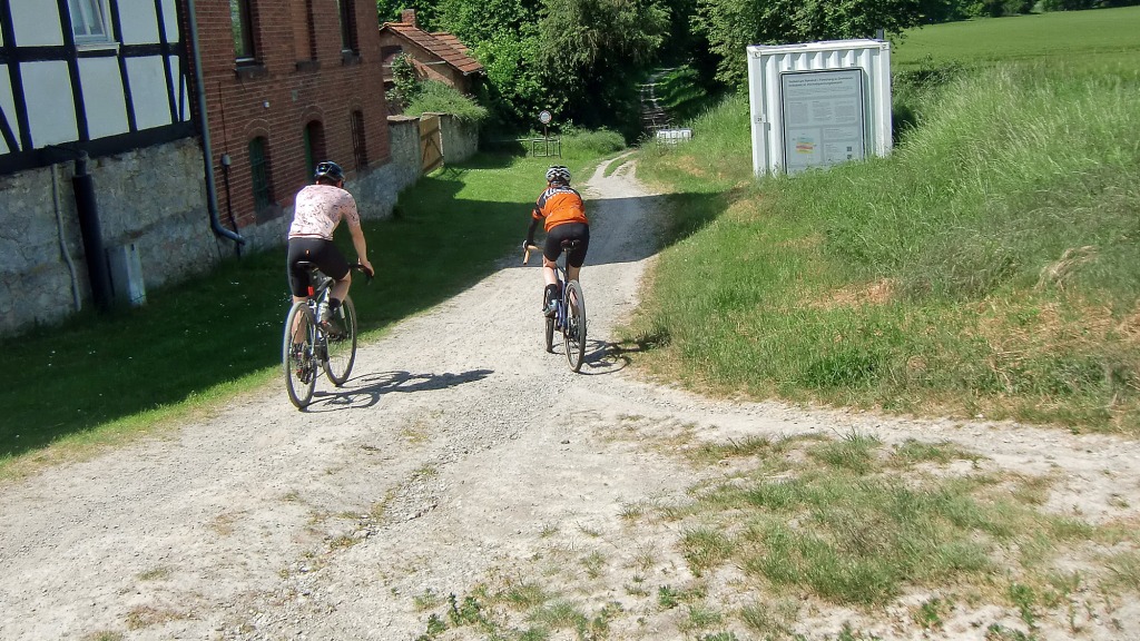
Riding the Kolonnenweg – Mehr riding the border
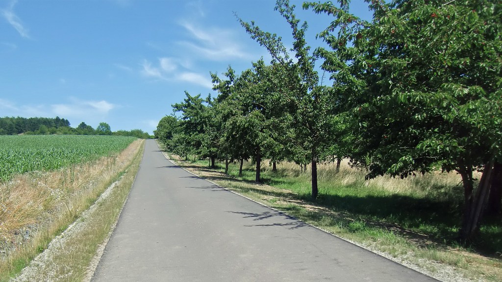
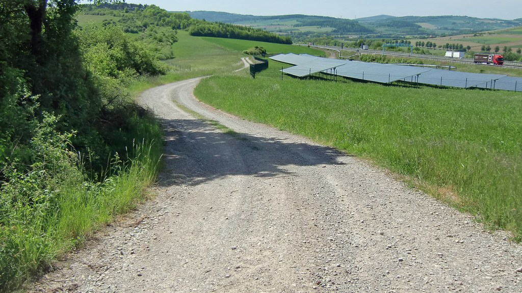
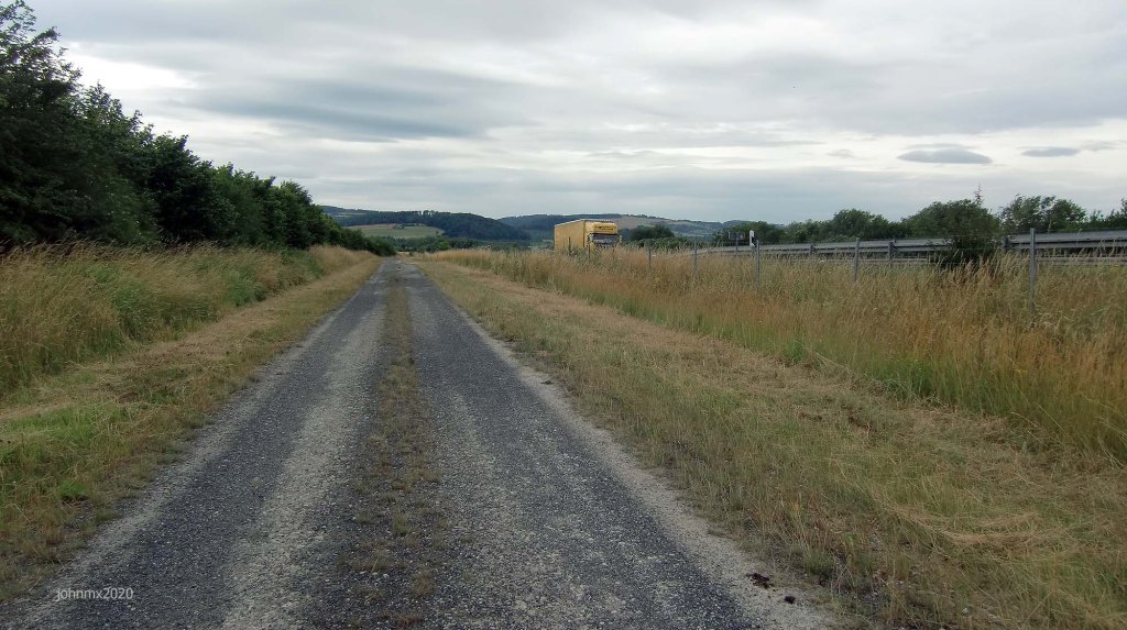
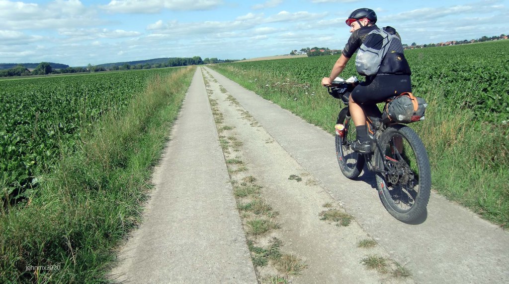
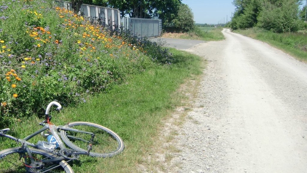
The route features 30 Sectors of gravel, 3 Kopfsteinpflaster, 1 Kolonnenweg, and as much Feldweg as possible. And because the highlights are further out from Gö we try to ride as a crow flies to get there with a minimum of fuss.
The Route
The route features a mix of gravel, dirt, concrete (farm/forest) plus tarmac public cycle paths and roads.
Concrete farm roads
The white gravel roads aren´t the whole story though – a number of concrete farm roads are also included in this route. In regard to Paris Roubaix, for example, people tend to fixate their minds on the cobbles, but that is only part of the battle to finish, there are also the tarmac roads where the wind seems to drive straight into your face. On this ride there are concrete farm roads which are anything but smooth, they can be very muddy and a challenge in themselves.

The Kolonnenweg is not easy, take care – Mehr riding the border
The Ride: 54.66
Straße: 10.4 CA/Approx.
Straße includes 2 sectors of Kopfsteinpflaster, 1.8km
Feldweg/Fahradwege/Gravel: 44.26km CA/Approx.
Feldweg includes:
30 Gravel sektors, 25.5km
1 Kopfsteinpflaster, 0.1km
1 Kolonenweg, 0.9km
Elevation: 402m
There is 1 principal climb: A 3.3km Asphalt ascent on Feldweg from Kirchgandern with the first part hitting 14% and then (after a short descent) maxing out (short time) at 21%.
There are a few hills at:
1. To Dreilanderstein crossing into the Eichsfeld/Thuringia/DDR maxing out at 8.5%
2. Riding away from the Dreilanderstein upon the defunct deathstrip we max out at 12%.
3. On the Kolonnenweg maxing out at 12% after a 28% descent .

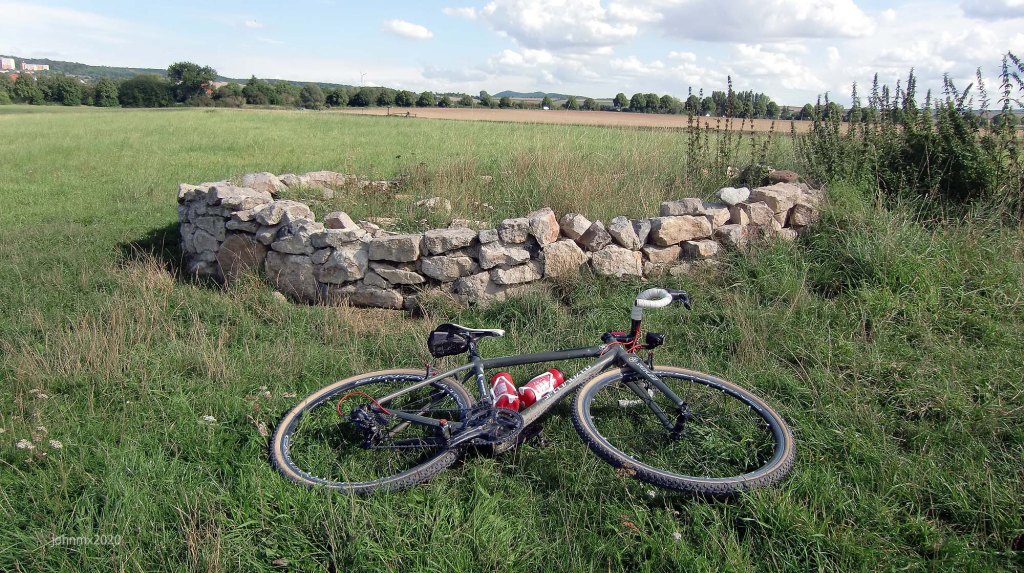
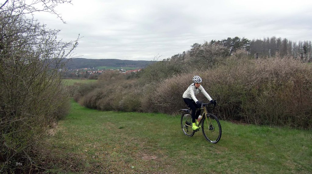
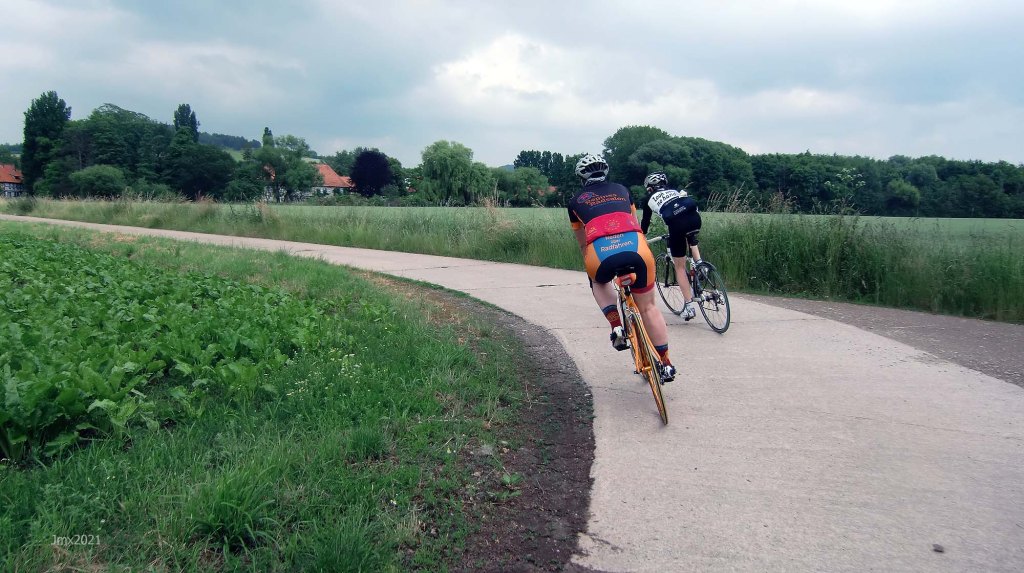
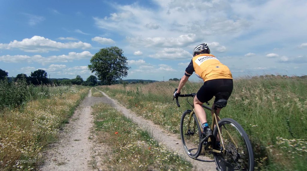
Riding the gravel toward Thuringia
GPS
Garmin Connect: https://connect.garmin.com/modern/activity/11515875277
Strava: https://www.strava.com/activities/9412915621
Komoot: https://www.komoot.com/tour/1204157562
GPS Ride: https://veloklubhaus.com/2023/07/08/go-gravel-radfart-sans-frontieres-july-8-2023/
Gallery: https://veloklubhaus.com/go-gravel-radfart-sans-frontieres-gallery/
Sign
The route is not signed, we offer a GPS, but you can choose to follow your own direction.
Want to ride it?
This is an informal ride and a suggested route only. If you would like to ride it with us do make contact. Or of course you may ride it at your own time and if you do, it would be great to hear from you – https://veloklubhaus.com/contact/.

Up close to the old DDR border we follow a Pilgrim route
Gravel categories (this is purely subjective & made up by us)
We have graded the gravel 1 to 5 with 5 being the roughest (there is also an Hors Cat for very extreme).
Cat 1 – mostly hard packed and rideable on almost all bikes.
Cat 2 – often hard packed, a little rougher, potholes and challenging.
Cat 3 – loose surface, more ruts & potholes, gradient changes, bigger stones with greater caution required. (may include downhill or a turn)
Cat 4 – very rough, loose with larger stones and deep ruts/potholes.
Cat 5 – as 4 but may also be downhill, maybe tight turns or with single track and ruts.
HC – Mind bogglingly hard.

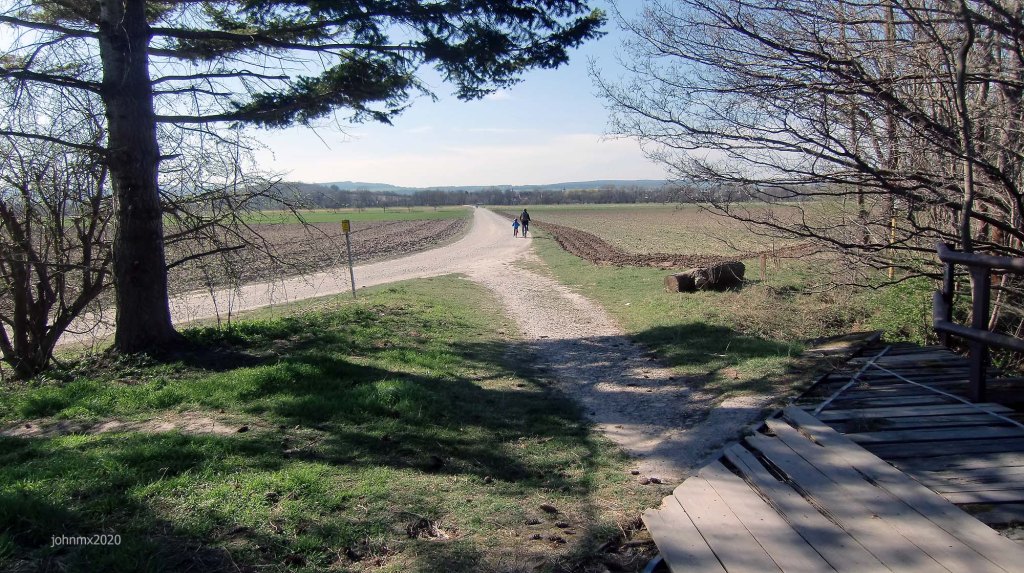
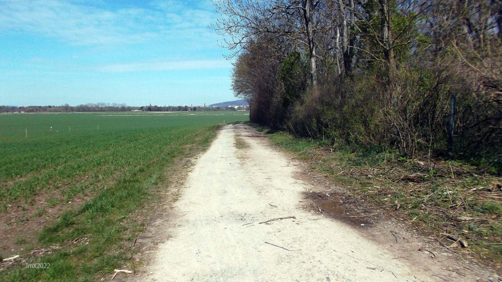
Above Kirchgandern – Not all Feldweg is Rough Stuff
Stages
The tour is divided into stages and stated are the types of sections you will encounter – Asphalt Feldweg/Betonweg/Gravel/Kopfsteinpflaster/Radweg/Straße.
This is not a race or any type of competition.
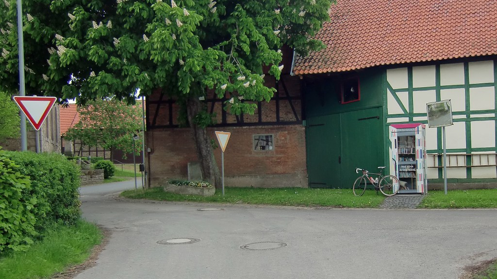
Stage 1 – Gö Velodrome (@ 0km)/Dreckwarte-Landwehr (@ 1.5km)


VISA!!: The ride begins outside the city walls of Göttingen, and you will need the correct movement papers for the onward journey at the Dreckwarte-Landwehr.
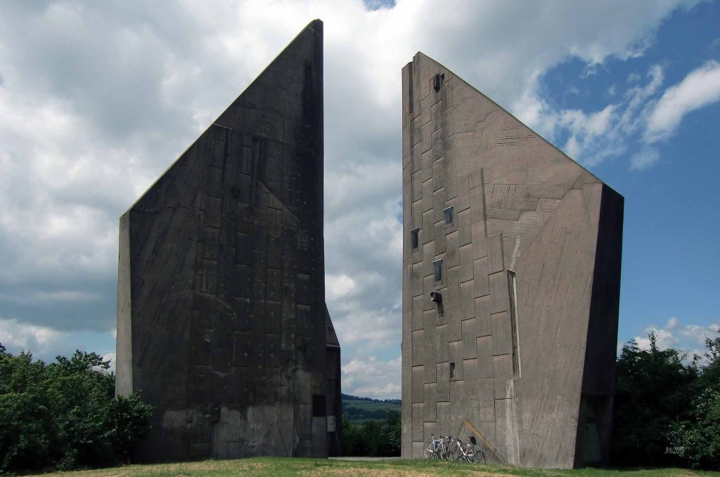
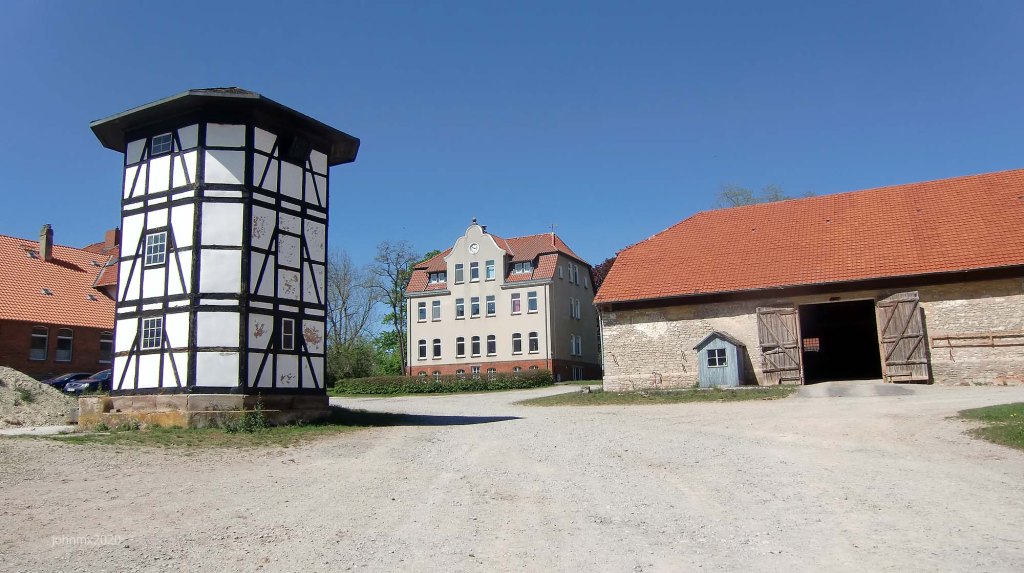
Central Europe and the lands occupied by the German speaking peoples have historically been far from peaceful and you can find many ruined watchtowers across the landscape which once guarded the approaches to cities such as Göttingen. The watchtowers in Göttingen were part of a series of a medieval defensive Landwehr made up of dense vegetation (Incl. Hawthorn) and ditches that channelled people along roads, tracks, and checkpoints where taxes could also be collected.
On the ´Gutingi All Along the Watchtower´ we ride to eight medieval watchtowers – these projected power (and thus influence) or offered protection in and around the German city of Göttingen. What are now romantic ruins were once a matter of life or death.
Ride info: Three gravel sections start us off with the first following the path of the now lost Gartelbahn. Be watchful of parked cars, walkers, and other cyclists on this busy part of the ride.
Betonweg/3 Gravel (Cat 2, 0.9km – Cat 1, 0.5km – Cat 2, 0.8km)/Straße
Stage 2 – Dreckwarte/Landwehr (@ 1.5km) – Hesse Stadt (@ 15.2km)


OK, relax but you will need to show your papers again just before Marzhausen when we cross into Hesse once ruled by a Royal family which was in competition with the Royal Houses of Hannover and Prussia.
Ride info: Asphalt Feldweg/Betonweg/5 Gravel (Cat 2, 0.4km- Cat 3, 0.3km – Cat 2, 0.7km – Cat 1, 1.4km – Cat 2, 2.1km)/ 1 Kopfsteinpflaster (Cat 2, 0.9km)/Radweg/Straße
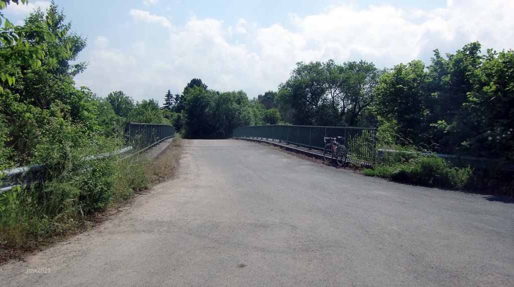
The wooden bridge at Reinshof features big holes!
Stage 3 – Hesse Stadt (@ 15.2km) – Lower Saxony Stadt (@ 17.2km)


VISA!!: The gravel trail to Marzhausen sees us cross into Hesse for a short time.
Prior to Napoleon Bonaparte´s invasion of the German speaking lands after winning the 1806 Battle of Jena, he took the opportunity to whittle the existing 460 mini-fiefdoms and Kingdoms etc. of what was then ´Germany´, down to a more governable number (32). The idea of a German nation was to come true in 1871 when it was forged in fire by Otto Von Bismarck. After World War Two the nation was reorganised into 16 federal states with both state and international frontiers being heavily revised. Germany has lost 33% of its territory since World War One including 25% after WW2.
Post WW2, Lower Saxony and Hesse were founded from a jumble of regional historical boundaries, for instance the sign at the Dreilländereck mentions the Kingdoms of Hannover, Prussia, and Hesse having had jurisdiction in the immediate area. The present State borders mark distinct independently minded administrative areas but are open to free trade and movement unlike much of Germanys past. These borders were at times closed during the Covid epidemic (2020).
Ride info: Asphalt Feldweg/Betonweg/1 Gravel (Cat 1, 0.8km)/Radweg/Straße
Stage 4 – Lower Saxony Stadt (@ 17.2km) – Thuringia Stadt/DDR/Eichsfeld (@ 22.6km)


VISA!!: Relax, it would have been annoying in the past to have to show a visa to continue into Göttingen Landkreise/Lower Saxony, today you have no hindrance after all you have a Gö Gravel Visa and there is no checkpoint.
Ride info: We join the defunct Arenshausen to Friedland Railway at Niedergandern.
Asphalt Feldweg/Betonweg/5 Gravel (Cat 2, 0.9km – Cat 2, 0.8 – Cat 2/3, 1.5km – Cat 2, 0.3km – Cat 2, 0.2km)/Straße
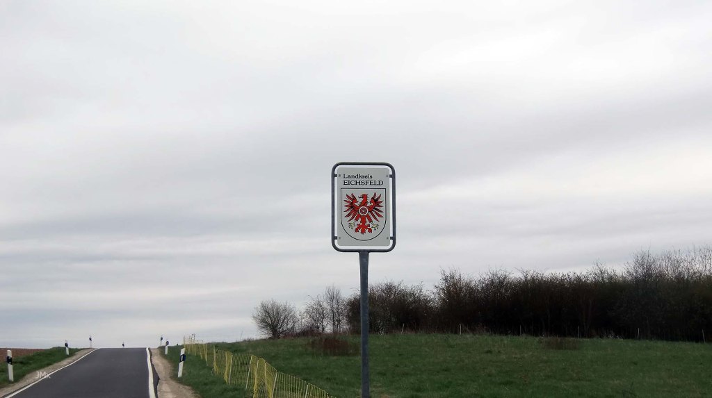
Stage 5 – Thuringia Stadt/DDR/Eichsfeld (@ 22.6km) – Dreilanderstein (@ 23.1km)


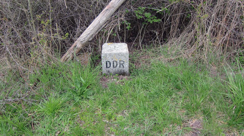
VISA!!: Once over a railway bridge we enter Thuringia, from 1945 to 1990 you would have been entering a different country the Deutsche Demokratische Republik (DDR).
The Internal Grenze began developing as an armed line from 1952 separating East and West Germany. It was cut regardless of terrain or social fabric from the Baltic to the Czechoslovakian border (1,393 kilometres). Over time it morphed into the Iron Curtain that split Europe.
The Internal Border was heavily militarised, and any unlawful crossing could mean death.
Ride info: As we cross into the Eichsfeld/Thuringia/DDR there is a short climb maxing out at 8.5%
2 Gravel (Cat 2, 0.1km – Cat 2, 0.4km)
Dreilanderstein/DDR (@ 23.1km)
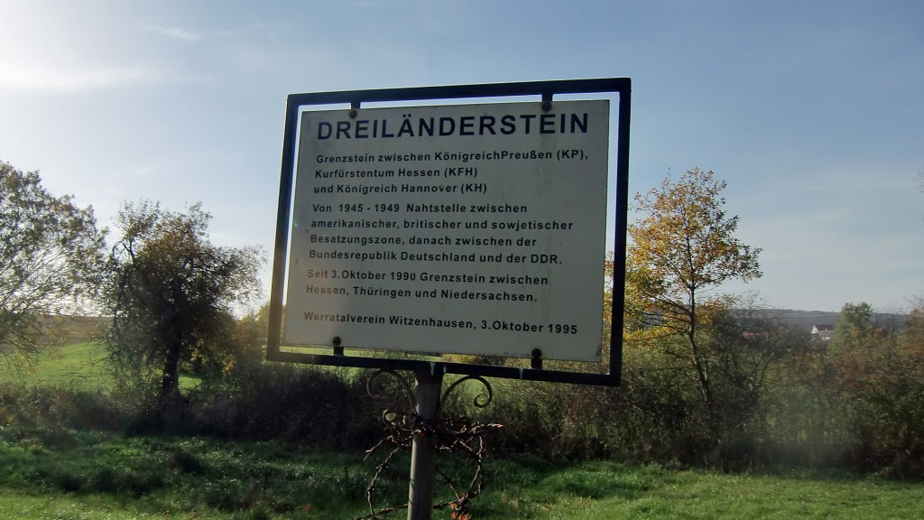
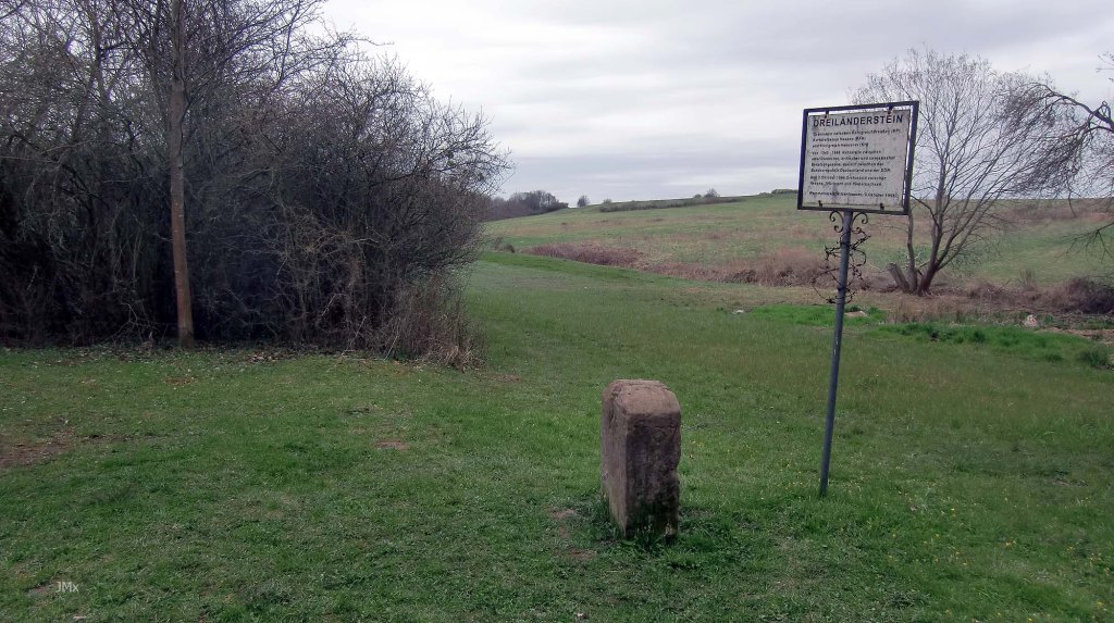
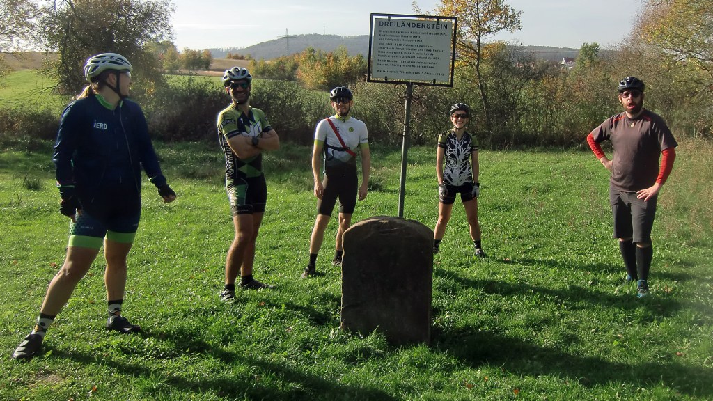

The city of Göttingen is in the State of Lower Saxony and to the south three state borders meet at the Dreilländereck – Lower Saxony, Hesse, and Thuringia.
After the war, the peace had to be won and as part of that process there were many agreements made between the winning powers despite it being an often-uncomfortable relationship and one such decision was the division of what was left of Germany into zones of occupation – Soviet Russia, British, American, and French.
Ride info: We hang out and hug the stone, thus being in three German Federal States all at once.
Stage 6 – Dreilanderstein (@ 23.1km) – Lower Saxony (@ 23.6km)


VISA!!: You know the routine; do you have the correct papers to re-enter Lower Saxony and to leave the DDR/Eichsfeld/Thuringia?
Ride info: 2 Gravel (Cat 2, 0.4km – Cat 2, 0.1km)
Riding away from the Dreilanderstein upon the defunct deathstrip we must climb maxing out at 12%.
Stage 7 – Lower Saxony (@ 23.6km) – Thuringia/Eichsfeld/DDR (@ 27.2km)


VISA! Yes, I know it’s a pain, but ´Papers´ might need to be shown as we pass back into Lower Saxony/West Germany (circa 1945/1990) and on the road (we use the Feldweg) a signpost also points out the limits of the Göttingen Landkreis administrative area (Gö City has its own jurisdiction).
Ride info: Asphalt Feldweg/Betonweg/1 Gravel (Cat 2 0.1km)/Straße
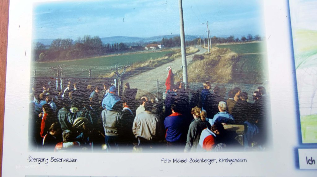
Besenhausen Cafe (@ 26.8km)
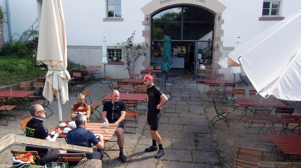
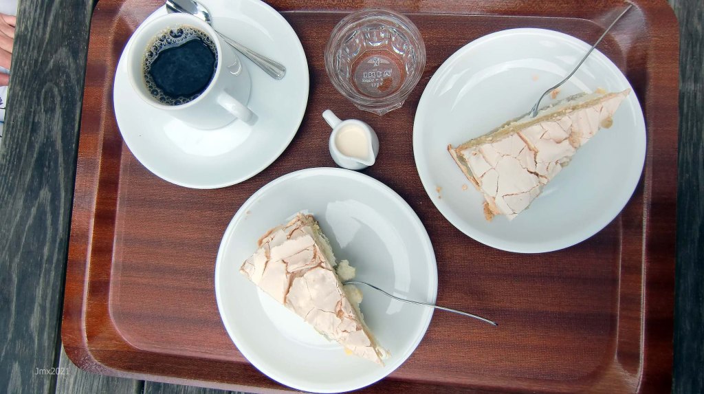
There is a cafe and toilets – check their website for details – https://cafe-besenhausen.de/ .
Stage 8 – Thuringia/DDR/Eichsfeld (@ 27.2km) – Lower Saxony (@ 31.7km)


VISA!!: At Kirchgandern we travel into the Eichsfeld/Thuringia and what was again the DDR frontier.
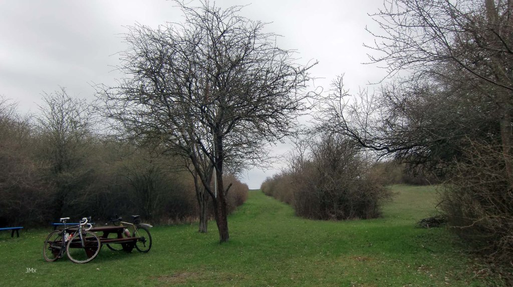
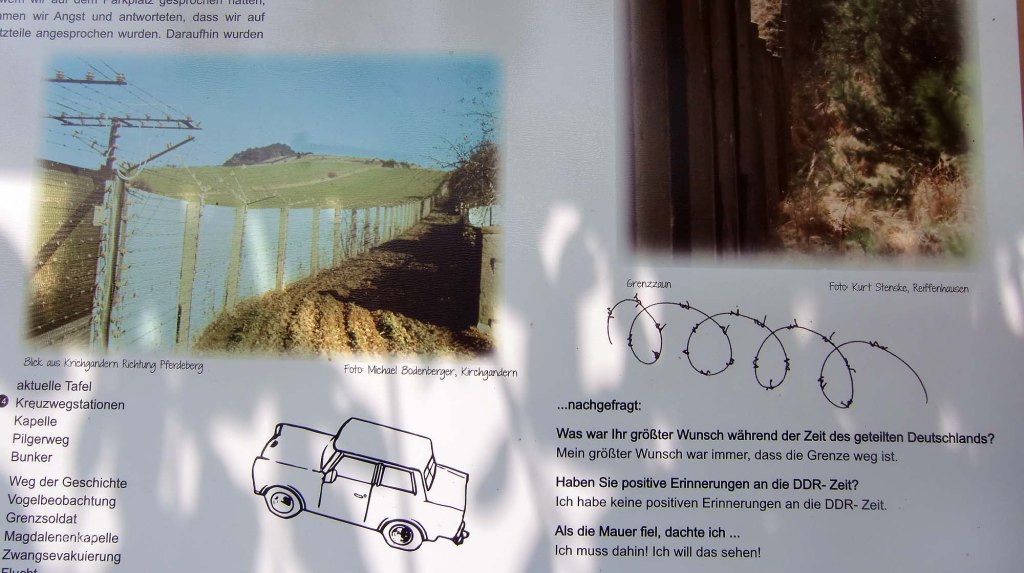
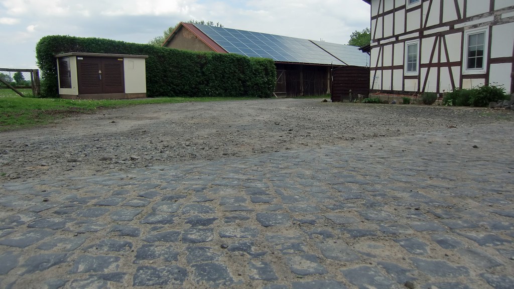
Almost all the extensive DDR border infrastructure has been removed at Kirchgandern and instead there are now commemorative information boards, a signed trail, a British zone customs house, a derelict bunker, and a stretch of Kolonnenweg. There are more intact vestiges of the border at nearby Duderstadt, Bad Sooden-Allendorf, a memorial at Rohrberg and some Kolonnenweg at Hohengandern, near Siemerode and Vogelsang. (Maybe check out Viktoria Cyclo Cross and Under the Ski Jump) The death strip is now a pleasant grass meadow like line tracing up to the high ground.
Kirchgandern was also a place where millions of post-World War Two refugees passed through on their way to the Friedland Transit Camp.
Tens of thousands of soldiers/police were deployed by the DDR to look out over the massive infrastructure built to stop East German people from crossing from east to west and failed attempts could lead to death or long imprisonment. Here at Kirchgandern near Friedland, and hidden within the tree line is a DDR observation bunker. We can imagine the long hours of boredom for the guards looking out across the wire and the death strip into the West. Meanwhile fifteen kilometres away a brigade of West German Bundeswehr Panzer Grenadiers waited for any breach from East to West.
The observation bunker at Kirchgandern was one of approximately one thousand ´Earth bunkers´ (Erdbunker) built along the border and they were normally constructed into a natural bank or depression. Built in three parts the top concrete ´tower´ stood proud of the land and could accommodate two soldiers allowing them a field of fire. There were in addition some 684 watch towers of various designs along the 1,381 kilometres of border stretching from the Baltic Sea to Czechoslovakia.
There is a website about the area with a cool map at – https://wegdergeschichte.de/
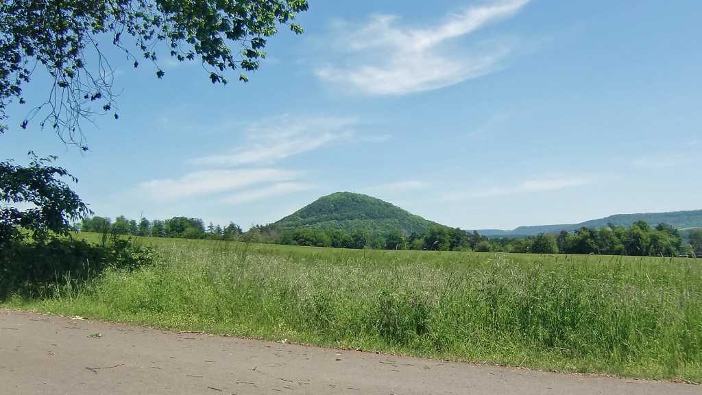
Ride info: The coming section of Kolonnenweg is fierce, but the approach is a super smooth asphalt 2.3km Feldweg ascent peaking at 21.8% for a short time. On offer is a fantastic view toward the Rusteberg Mountain and across the Eichsfeld in Thuringia.
Ride info: Asphalt Feldweg/Straße
Stage 9 – Kolonnenweg (@ 30.8km) – Lower Saxony (@ 31.7km)


Running alongside the border in the DDR was a patrol road made of concrete prefabricated blocks of various designs. The road hugged the fence and a death strip (open ground) regardless of terrain. At times it can exceed a 30% gradient as it follows the landscape religiously. It beggars´ belief how much concrete was required to complete the 1,300 kilometre length.
Germany has many Pilgrim Ways and one dedicated to Saint Jakob goes through Göttingen and Kirchgandern. The 24/25th stages of the Jakobsweg Via Scandinavica go from Göttingen-Kirchganden and is followed by Kirchganden-Asbach/Sickenberg. Often you can find Scallops craved into a rock or a stone thus marking a St Jakobs Weg.
At Kirchgandern is the Magdalenen-Kapelle which was abandoned during the period when it was situated within the security zone of the DDR border with West Germany. On Roman Catholic festival days, we would assume that the Kapelle, the Pilgrim route and the Ways of the Cross will be busy with people.
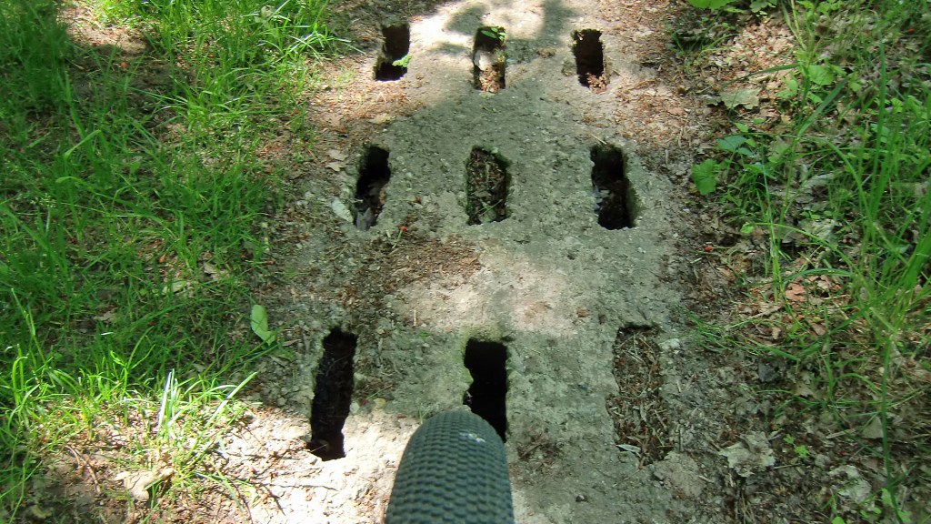
Ride info: The Kolonnenweg is just under one kilometre in length, is rough and descends sharply at 28%.
The prefabricated concrete sections feature a lattice like surface that requires concentration to avoid having your wheels go thump, thump, thump on the this roller-coaster section.
The first descent isn´t steep but the concrete has been undermined at the bottom on the right hand side – stay left!
The following descent after a brief ascent is 28% – we were very careful to not allow our speed to build too much and we balanced our bums over the back of our saddles. CAREFUL!!!/ACHTUNG!!!!!
1 Kolonnenweg (Cat 4, 0.9km, 28% Descent/Ascent, 12%)
To learn more about riding the Internal Grenz check out https://grenzsteintrophy.de/
Stage 10 – @ Lower Saxony (@ 31.7km) – Friedland (@ 38.6km)


VISA!!: We re-enter Lower Saxony close to the Autobahn.
OK, you must be used it by now and you will have your papers ready able to offer them before you are asked. Be careful though because the border guard might think you are being smart and might wish to curb your enthusiasm.
Ride info: Asphalt Feldweg/Betonweg/4 Gravel (Cat 2/3, 2.4km- Cat 2, 1.5km – Cat 2, 1.6km – Cat 2, 0.8km)/Radweg
Friedland (@ 38.6km)
There is a direct link to Göttingen from the Friedland Railway Station. In addition the Friedland Transit Camp Museum is situated here and atop the hill beyond the cemetery (containing many refugee war graves) there is the Friedland-Gedächtnisstätte monument.
One of the fundemental aspects of post WW2 society was human rights and how to stop the Holocaust ever happening again. In 1959 the European Court of Human Rights was founded and this is the international court of the Council of Europe, not the European Union. It is there to prevent people being forced to become stateless, stripped of protection or rights and due legal process etc.

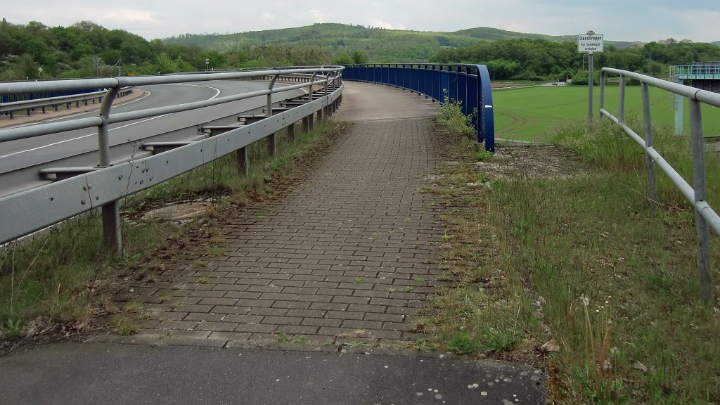
Ride Info: We enter Friedland Village and cross the Leine River via a FOOTbridge.
Stage 11 – Friedland (@ 38.6km) – Weinzenbergwarte/Landwehr (@ 49.6km)


Ride info: Asphalt Feldweg/Betonweg/3 Gravel (Cat 2, 1.6km – Cat 2, 0.8km – Cat 1, 1.4km)/ 1 Kopfsteinpflaster (Cat 2, 0.9km)/Radweg
Stage 12 – @ Weinzenbergwarte (@ 49.6km) – Gö City Wall (@ 54.6km)


VISA!!: The Weinzenbergwarte and the Dreckwarte were part of a ring of Mediaval watchtowers that controlled access to Göttingen and were demolished a long time ago, nonetheless ´papers´ should be presented at the Warte/Landswehr and then finally at the City Wall!
Bismarck was an arse when a student in Gö and he was barred from spending the night in the city because of his bad behaviour. Jewish people were also banned because of societal prejudice. Outside the city walls there are several old Jewish cemeteries bearing witness to their presence before pogroms and genocide forced them from their homes.
Göttingen´s City Walls offered some protection to its citizens such as during the Thirty Years War although it couldn´t ultimately stop Count Tilly who besieged the city in 1626 forcing out the Danish Garrison or the Swedes who fought in the streets to take it back for the protestants in 1632. In 1641 Bavarian catholic forces revisited Göttingen to push out the Swedes. Nor was it any barrier to Napoleon Bonaparte or later for the French during the Seven Years War and many, many years on in April 1945 the US Second Infantry Division occupied it followed by the British. Much of the City Wall remains although to ride round on top of the wall you must navigate the access roads cut through them.
Most importantly have your money to pay tax on your goods to enter Göttingen.
Ride Info: Asphalt Feldweg/Betonweg/4 Gravel (Cat 2, 0.3km – Cat 2, 0.6km – Cat 1, 0.9km – Cat 2, 0.9km /1 Kopfsteinpflaster (Cat 3, 0.1km/Radweg/Straße
End
We hope you are grateful that most of Europe is open to you and you are no longer delayed at local borders.


Attention/Take Note
The Gö Sans Frontières is a suggested route for a bike tour and not a race or competition. Should you decide to follow our tour description or a GPS of the route described, you do so at your own risk.
You are responsible for cycling as you think you can, according to your ability and fitness level.
Die Gö Sans Frontières ist ein Routenvorschlag für eine Fahradtour und kein Rennen oder Wettkampf. Solltest Du Dich dafür entscheiden, unserer Tourbeschreibung oder einem GPS der beschriebenen Route zu folgen, tust Du dies auf eigene Gefahr.
Du bist selbst dafür verantwortlich, entsprechend Deinem Können und Fitness-Niveau, so zu radeln, wie Du es Dir zutraust.
Contact – https://veloklubhaus.com/contact/

Leave a comment