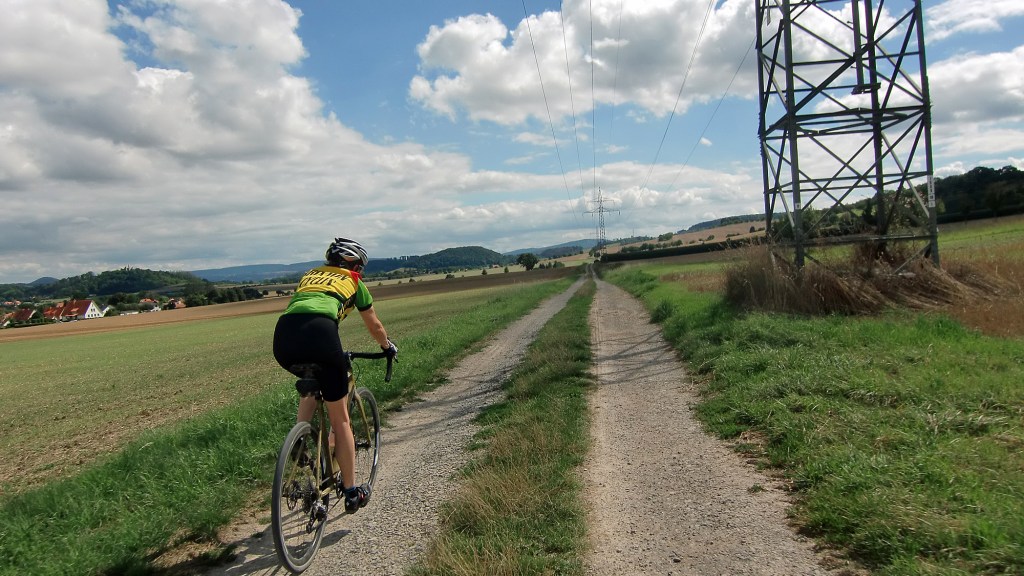
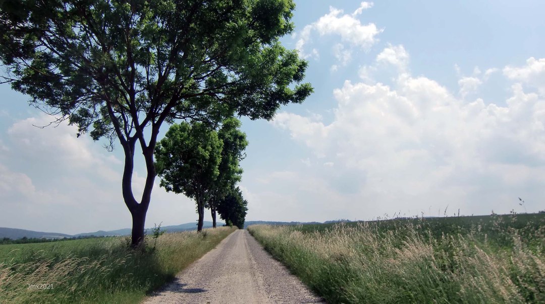
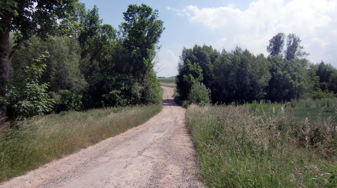
We celebrate the Strade Bianche race with an informal gravel ride featuring 45 sectors of the ´Weißen Straßen´of Göttingen plus concrete/asphalt feldweg, dirt, asphalt cycle paths and public roads.
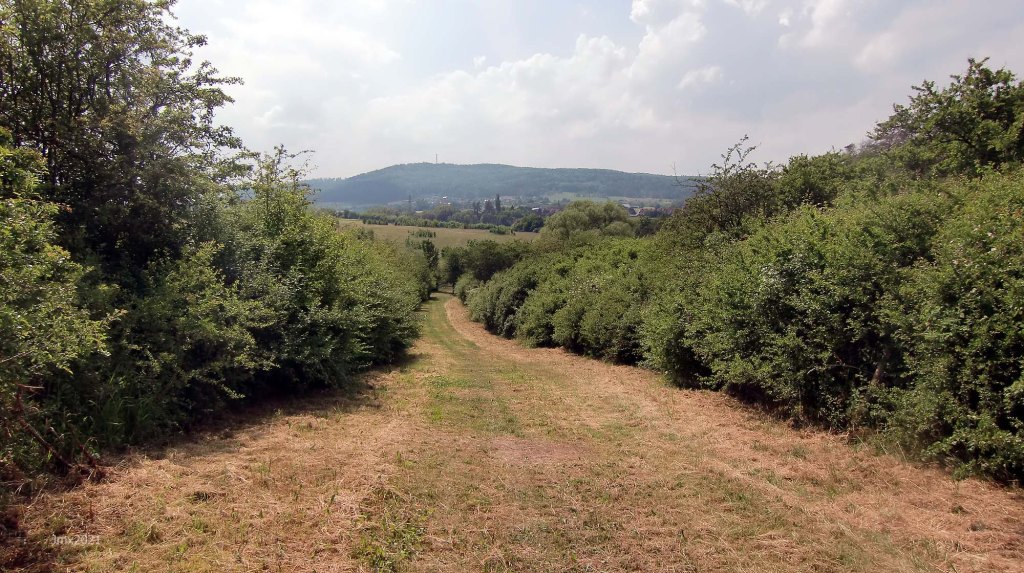
This 80 kilometre route merges the previous 66, 72km & 76km rides. The significant difference of this revised parcours is that it cuts out an asphalt climb away from Friedland toward Marzhausen and includes a more direct additional gravel road to Niedergandern. Plus, there is an added stretch of tree lined white gravel that almost takes us into Thuringia, but we turn away from what was once the Iron Curtain.
Our return to the velodrome features a series of 11 stiff climbs (of 14 in total) on the East-Side of the Leine Valley with the last taking us up and past the Diemarden Warte.
Sorry, there is not a German text for this ride.
The Route
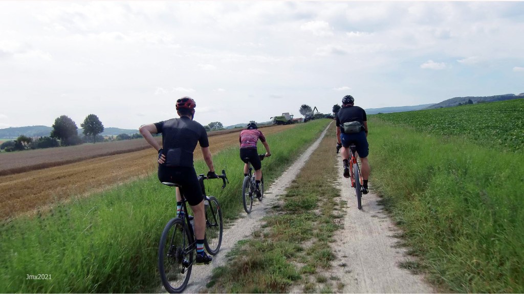
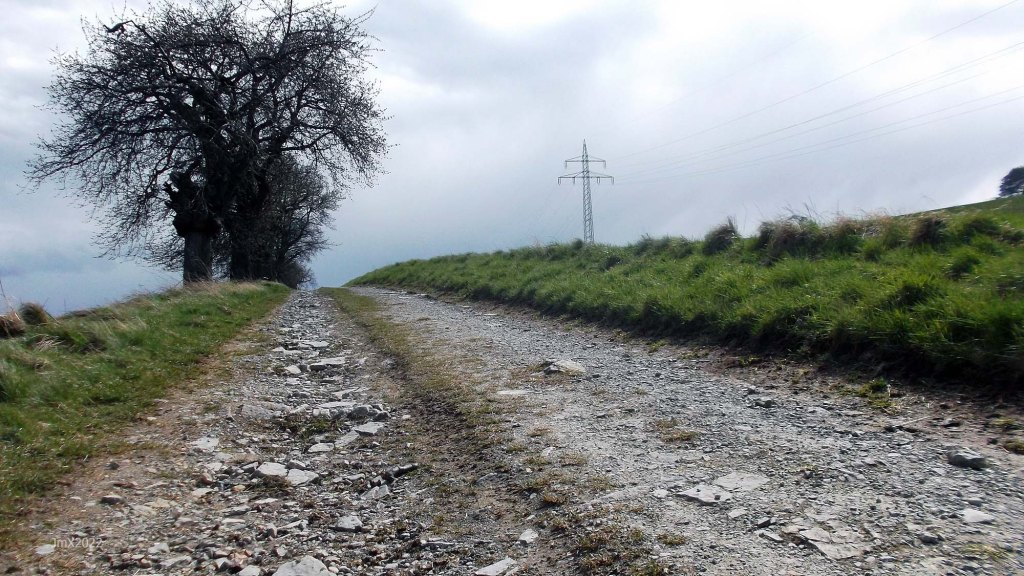
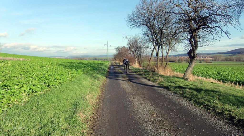
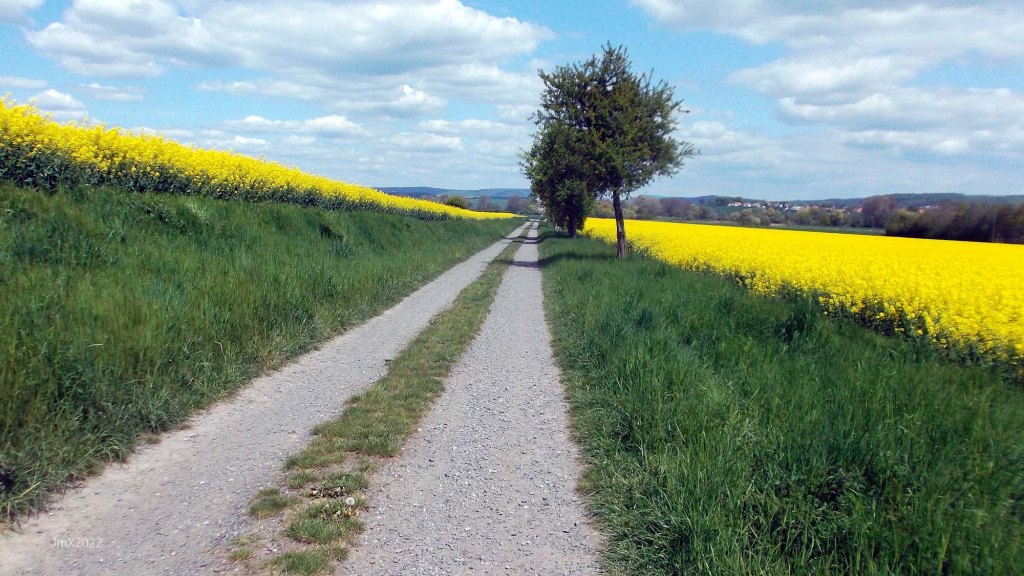
The route features a mix of gravel, dirt, concrete feldweg (farm/forest) plus asphalt public cycle paths and roads.
Concrete farm roads (Feldweg)
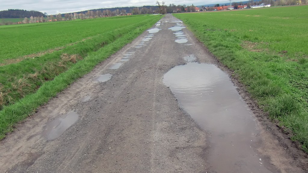
The white roads aren´t the whole story though – a number of concrete farm roads are also included in this route. In regard to Roubaix, for example, people tend to fixate their minds on the cobbles, but that is only part of the battle to finish, there are also the asphalt roads where the wind seems to drive straight into your face. On the ´Gö Strade Bianche Homage Ride´ there are concrete farm roads which are anything but smooth, they can be very muddy and a challenge in themselves.
Sign
The route is not signed, we offer a GPS, but you can choose to follow your own direction.
Want to ride it?
This is an informal ride and a suggested route only. If you would like to ride it with us do make contact. Or of course you may ride it at your own time and if you do, it would be great to hear from you (we can respond to German language E-mails) – https://veloklubhaus.com/contact/.
Achtung/Take Note
The Gö Strade Bianche is a suggested cycle tour route and not a race or a contest, should you choose to follow our description or a GPS of the outlined route you do so at your own risk.
It is your responsibility to ride in a safe and in a comfortable manner suited to your own estimated skill or fitness level.
Die Gö Strade Bianche ist ein Routenvorschlag für eine Fahradtour und kein Rennen oder Wettkampf. Solltest Du Dich dafür entscheiden, unserer Tourbeschreibung oder einem GPS der beschriebenen Route zu folgen, tust Du dies auf eigene Gefahr.
Du bist selbst dafür verantwortlich, entsprechend Deinem Können und Fitness-Niveau, so zu radeln, wie Du es Dir zutraust.

Gravel categories (this is purely subjective & made up by us)
We have graded the gravel 1 to 5 with 5 being the roughest (there is also an Hors Cat for very extreme).
Cat 1 – mostly hard packed and rideable on almost all bikes.
Cat 2 – often hard packed, a little rougher, potholes and challenging.
Cat 3 – loose surface, more ruts & potholes, gradient changes, bigger stones with greater caution required. (may include downhill or a turn)
Cat 4 – very rough, loose with larger stones and deep ruts/potholes.
Cat 5 – as 4 but may also be downhill, maybe tight turns or with single track and ruts.
HC – Mind bogglingly hard.
GPS
Garmin Connect: https://connect.garmin.com/modern/activity/10821601518
Strava: https://www.strava.com/activities/8820750056
Komoot: https://www.komoot.com/tour/1067390438
The GPS Ride: https://veloklubhaus.com/2023/04/02/go-strade-bianche-revised-79km-april-2-2023/

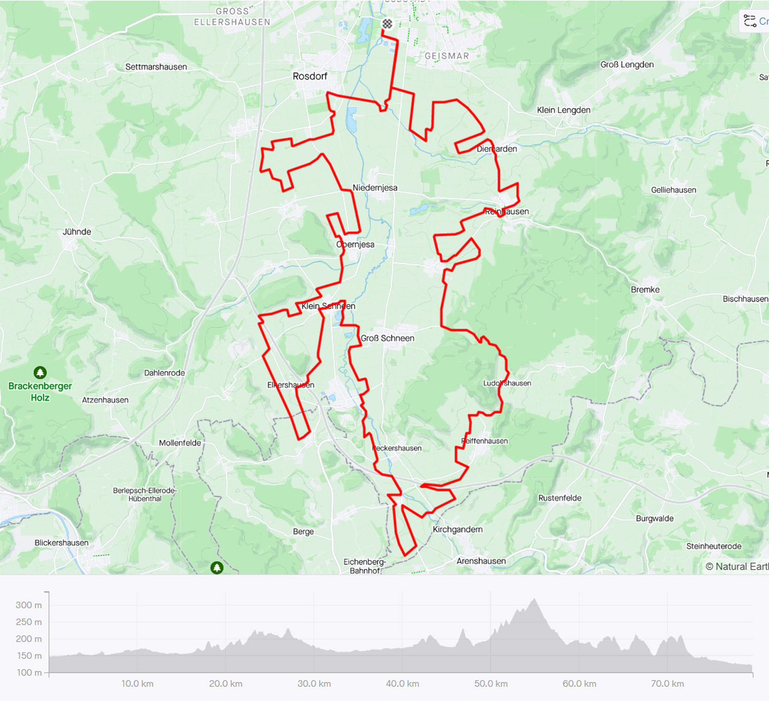
Gö Strade Bianche – 79.6 km
45 Gravel Sectors – 40.5 km ca/approx.
Feldweg/Betonweg/Radweg – 24.9 km ca/approx.
Strassen: 14.2 km ca/approx.
14 Climbs –815 metres of elevation
The Route
Sector/Category/Sector Length
Göttingen Velodrome @ 0 km, 0 km
If you can, start with a lap of the velodrome.

Note: Watch out for walkers on the shared path out from the velodrome, be nice!
Sector 1a – Cat 1, 0.9km (a + b)

Sector 1b – Cat 1

Sector 2 – Cat 2, 0.6km

Sector 3 – Cat 3, 0.1km
Reinshof Farm Yard, cobbles and loose large stones.

Sector 4 – Cat 2, 0.3km
Brilliant white in the summer.

Sector 5 – Cat 2, 0.7km

Gö West-Side Loop @ 5.1 km – dedicated to the Dengie Tour.
We deviate from the 43km route at this point following the one also taken by the 56 kilometre ride.
Note: Watch out for walkers, be nice!


Sector 6 – Cat 1, 0.6km

Sector 7 – Cat 2, 1.6km

Sector 8 – Cat 1, 0.2km

Sieboldhausen @ 11.4 km
Sector 9 – Cat 1, 0.3km

Sector 10 – Cat 3, 1.2km

Niedernjesa Railway @ 14.9 km
Sector 11 – Cat 1, 1.2km

Obernjesa @ 16.3 km
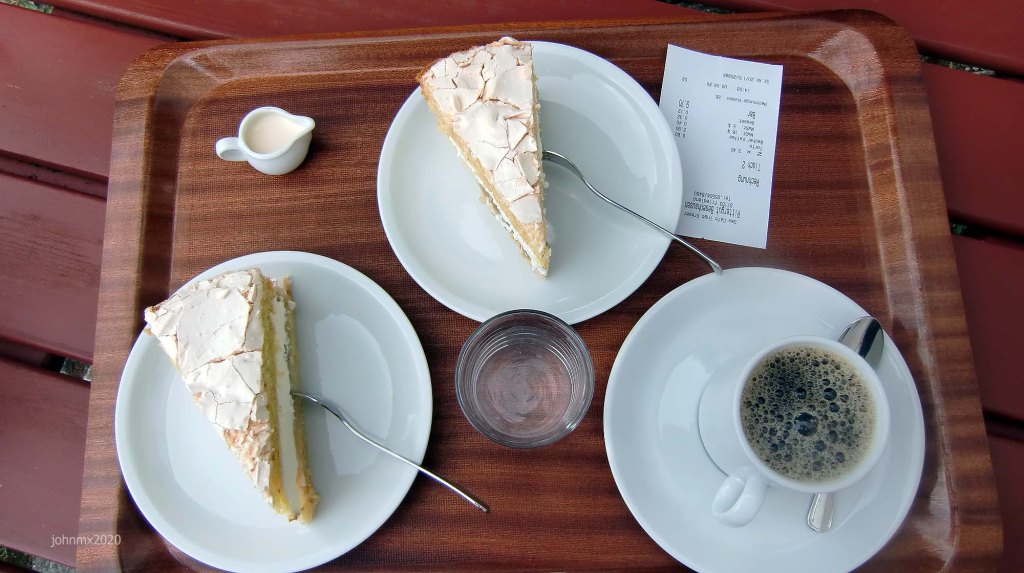
There is a baker in Obernjesa. (Bäckerei Könnecke, Dramfelder Str. 8)
Asphalt or cobbles at Obernjesa?

Sector 12a – Cat 2, 0.6km (a+b)
There are two benches on this climb at the start and finish with the latter offering a good view of Gö.

*Sector 12b – Cat 2 – 7.9% Max Climb – 0.3km long

Sector 13a – Cat 1, 0.5km (a+b)

Sector 13b – Cat 3. Descent.

Sector 14 – Cat 2, 0.4km
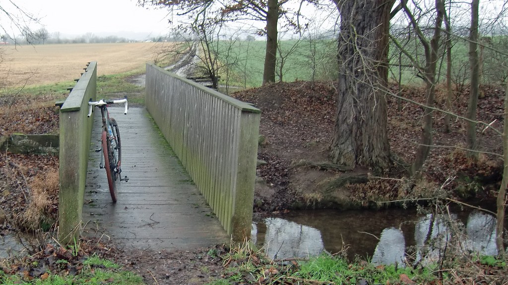
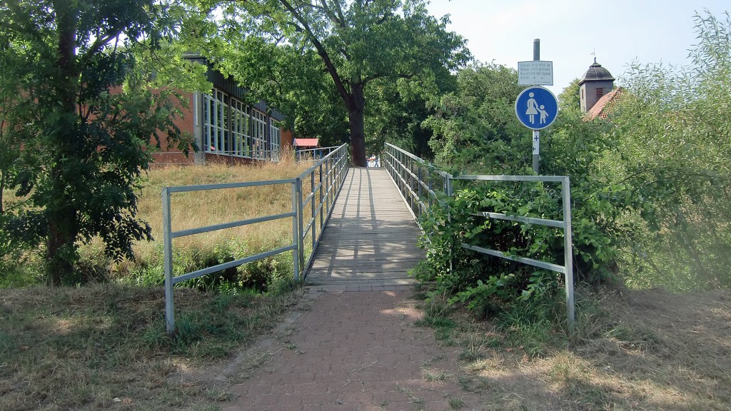
Cross the wooden bridge, this is slippery when wet.

Sector 15 – Cat 3, 0.7km

Sector 16a – Cat 2, 0.7km (a+b+c)
A cool picnic spot and there is shelter.

Sector 16b – Cat 3. Descent.
Left turn.

Sector 16c – Cat 1

Sector 17 – Cat 2, 0.5km

Autobahn A38 @ 23.6 km
Sector 18 – Cat 2, 0.6km. Descent!
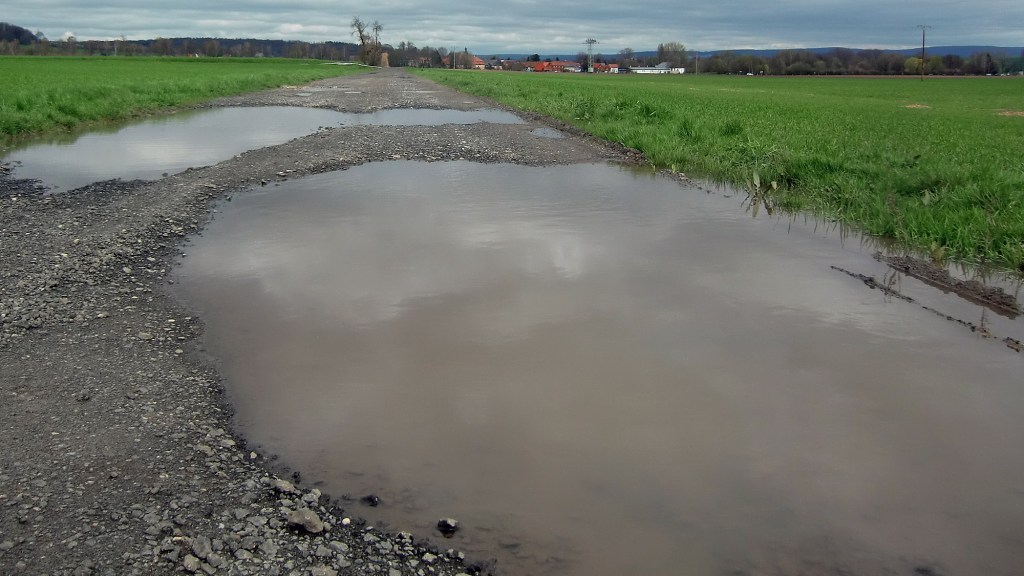
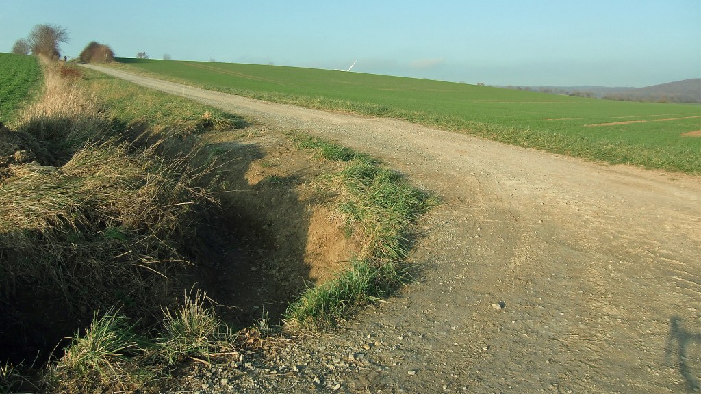
At the bottom there is a rut across the gravel and which is sometimes filled with water.

Sector 19a – Cat 2, 2.7km (a+b+c)
Follow the pylons into Hesse @ 26.8 km.

*Sector 19b – Cat 1
Am Kirschberge at Marzhausen – very recently the climb has been sanitised with a wide carpet of gravel stones laid down.

When it was a stone littered climb

Sector 19c – Cat 2. Descent!
There is a few metres of asphalt between Sector C and D.

Marzhausen @ 25.4 km
Sector 20 – Cat 1, 0.8km
We re-enter Lower Saxony @ 28.4 km & the Friedland Denkmal sits atop the hill to your right.

Elkerhausen @ 29.2 km
A second time under the A38.

Sector 21 – Cat 2, 2.3km
When wet, mega puddles form so its splish-splash through them or dodge as best you can.

Klein Schneen @ 31.9 km
Sector 22 – Cat 2, 0.8km
There is an unlawful swimming lake on the right handside, be careful of the law abiding having a day off. There is usually a gate to stop the bathers parking their cars along the feldweg.

Sector 23 – Cat 2, 1.6km
We deviate from the 40 and 50km routes at this point.

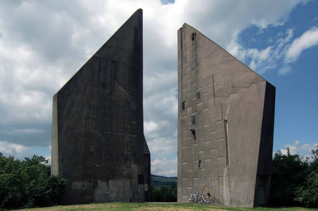
Friedland @ 36.9 km
There is a direct link to Göttingen from the Friedland Railway Station. In addition the Friedland Transit Camp Museum is situated here and atop the hill beyond the cemetery (containing many refugee war graves) there is the Friedland-Gedächtnisstätte monument.

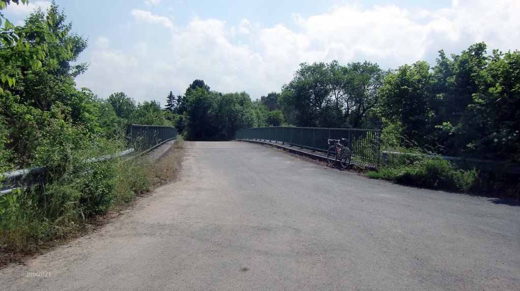
We cross the road and enter Friedland Village via a FOOTbridge over the Leine River
Nestled within the timbered buildings of the old village is the Michelin starred Biewald Restaurant. Associated with it is a Bistro that has a sign of welcome for cyclists (https://www.landhaus-biewald.de/). The Kirche is pretty cool as well.


Sector 24a – Cat 2, 1.5km (a+b+c)

Sector 24b – Cat 2
There is a bench here if you fancy a stop.

Sector 24c – Cat 1

Sector 25a – Cat 1, 0.9km
The Autobahn is on our right.

Sector 25b – Cat 1
Under the Autobahn.

Niedergandern (1) @ 40.8 km
Sector 26a – Cat 2, 0.8km (a+b)

We go left and join the defunct Arenshausen to Friedland Railway.


Sector 26b – Cat 3
This section can be muddy when wet.

Sector 27a – Cat 2, 1.5km (a+b)
Toward Thuringia.
*Sector 27b – Cat 3
There is a stiff climb at the foot of the descent and watch out for ruts.
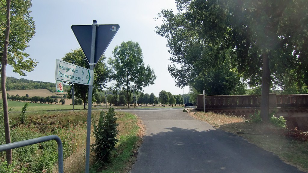
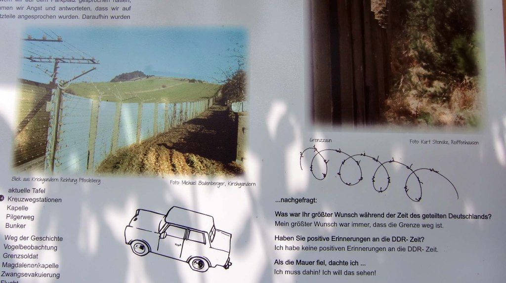
Visit the Dreilanderstein and cross into Thuringia?
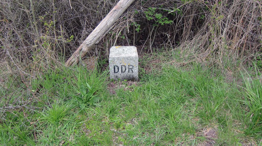
If you wish you can go right and cross the railway bridge into Thurnigia crossing the defunct DDR border.
Three post WW2 Zones of Occupation met here – you can detour to visit the Dreilanderstein pictured below.
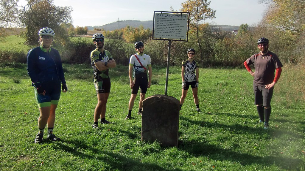
Happy to miss out the Dreilanderstein, go left onto the feldweg to join the main road where you go left again.
Niedergandern (2) @ 44.9 km
Niedergandern and Kirchgandern (the latter was previously in the DDR) villages stand close together, but there is no Großgandern. There was a village called that in Brandenburg, Germany before the borders changed post World War Two and this area is now Poland.

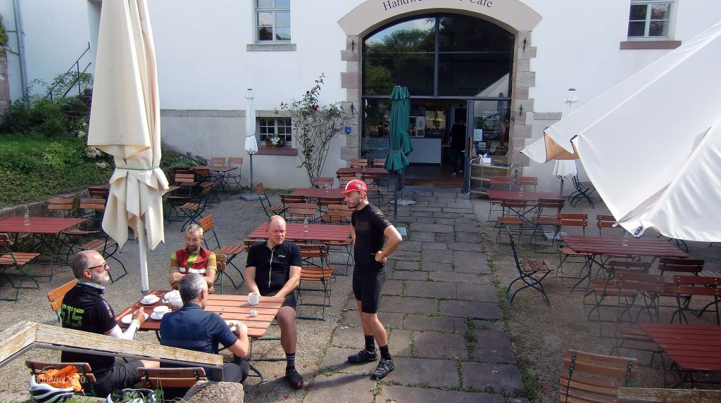
Besenhausen @ 45.9 km
There is a cafe and toilets here check their website for details – https://cafe-besenhausen.de/.

*Sector 28a – Cat 3, 2.4 (a+b+c+d). Climb.
This a tough climb along what was once the Iron Curtain on our right hand-side (Thuringia) and a number of information boards illustrates how this area looked before the Internal Border was removed after 1989- https://wegdergeschichte.de/.
We are overlooked at this spot by a defunct DDR bunker.


Sector 28b – Cat 2. Descent.

Sector 28c – Cat 1
The Autobahn on the right.

Sector 28d – Cat 1
Under the Autobahn where it can be muddy.

*Sector 29a – Cat 1, 2.2 (a+b+c+d+e)
Here we begin a series of rolling hills which combined with the gravel contribute to it being one of the toughest sections of the ride.

*Sector 29b – Cat 2

*Sector 29c – Cat 2

Sector 29d – Cat 1
We turn away from Reiffenhausen.

*Sector 29e – Cat 2

*We turn off the rough stuff and head up the asphalt climb, getting respite from the gravel with the reward of a long fast smooth descent to the next section of off-road.

Ludolfhausen @ 53.7 km

Turn right off the smooth and fast road
Sector 30 – Cat 3, 1.3km
Red strade and a surprisingly fast descent.

Sector 31 – Cat 1, 0.5km
We join the 40 and 50 kilometre tours at this point.

Ballenhausen (1) @ 28.5 km
Sector 32a – Cat 2, 1.2km (a+b)
This section is not included in the 40km tour.

Sector 32b – Cat 2
Includes a descent.

Ballenhausen (2) @ 61.9 km
2nd time in Ballenhausen.
*Sector 33 – Cat 3, 0.2km. Climb.

Sector 34a – Cat 2, 0.7km

Sector 34b – Cat 2

*Sector 35 – Cat 3, 0.3km. Climb.
We descend and then take a sharp left turn up the climb .


Sector 36 – Cat 3, 0.3km

Reinhausen @ 65.5 km

*Sector 37 – Cat 2, 0.7km. Climb.

Sector 38 – Cat 2, 0.3km

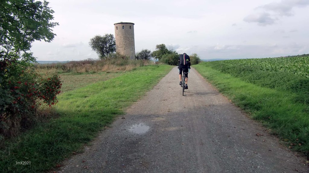
Diemarden @ 68.5 km
Sector 39a – Cat 1, 1.5km (a+b)

*Sector 39b – Cat 2. Climb.

Sector 40a – Cat 2, 1.5km (a+b+c)

*Sector 40b – Cat 2. Climb.
Atop the hill is the Diemarden Warte which also features on the All Along the Watchtower tour.

Sector 40c – Cat 3. Descent!
Once past the watchtower we venture onto a fast descent with rough sections and WATCH OUT for walkers, or bikes and horses.

Sector 41 – Cat 1 @, 0.5km

Sector 42a – Cat 2, 0.3km (a+b)

Sector 42b – Cat 2

Sector 43 – Cat 2, 1.0km
We merge with the 50 kilometre route here.

Sector 44 – Cat 2, 0.1km
Cross the B27 with care!!!!

Sector 45a – Cat 1, 0.9km (a+b)
Sector 1b reversed. We join the 40km route here.

Sector 45b – Cat 1
Sector 1a reversed.

Note: Watch out for walkers, be nice!
End at Velodrome @ 79.6km (includes a lap of the velodrome at the start and finish)

Best not to ride a road bike!
Want to ride it?
This is an informal ride and a suggested route only. If you would like to ride it with us do make contact. Or of course you may ride it at your own time and if you do, it would be great to hear from you – https://veloklubhaus.com/contact/.
Lust mitzuradeln?
Dies soll eine informelle Radtour sein, und wir schlagen nur Treff und Route vor. Wer immer Interesse hat, möge uns bitte kontaktieren (https://veloklubhaus.com/contact/).

