
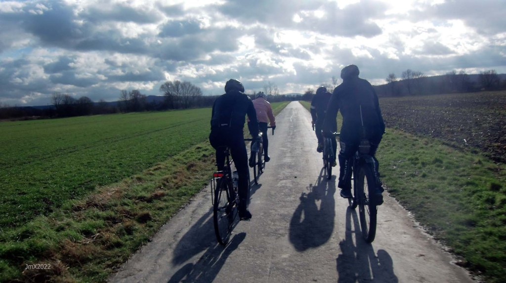
The longest Feldweg Omloop route – 78km
Volkerode/Obernjesa/Friedland/Besenhausen/Reinhausen/Bremke/Diemarden.
We ride the southern Friedland and eastern Bremke sections, plus we take to the high ground above Volkerode which all other routes do not.
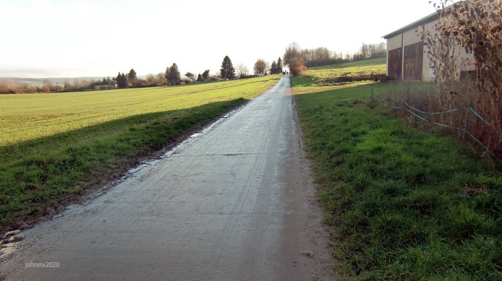
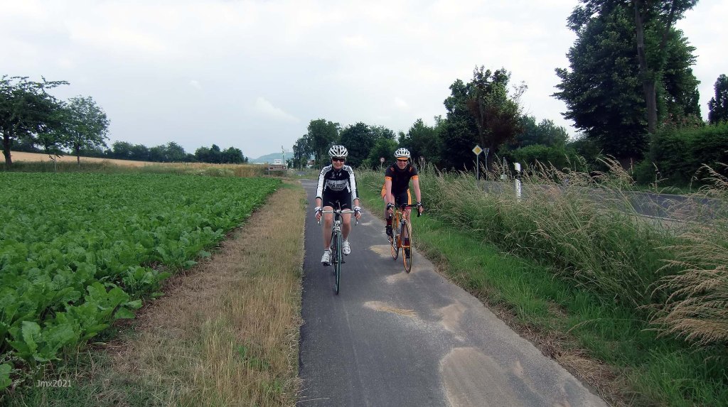
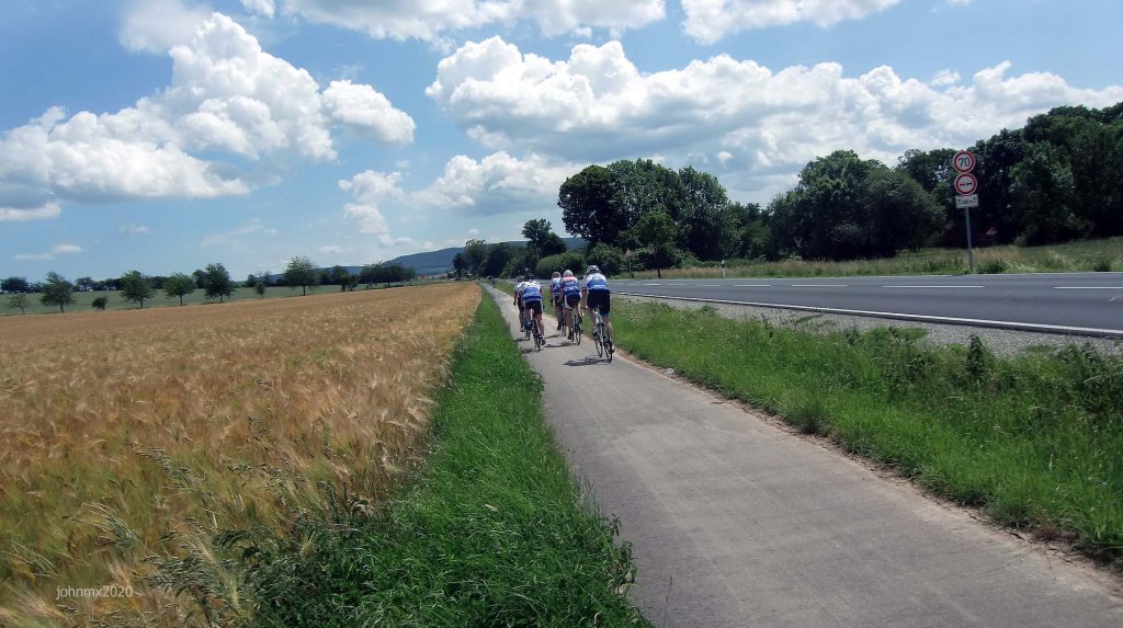
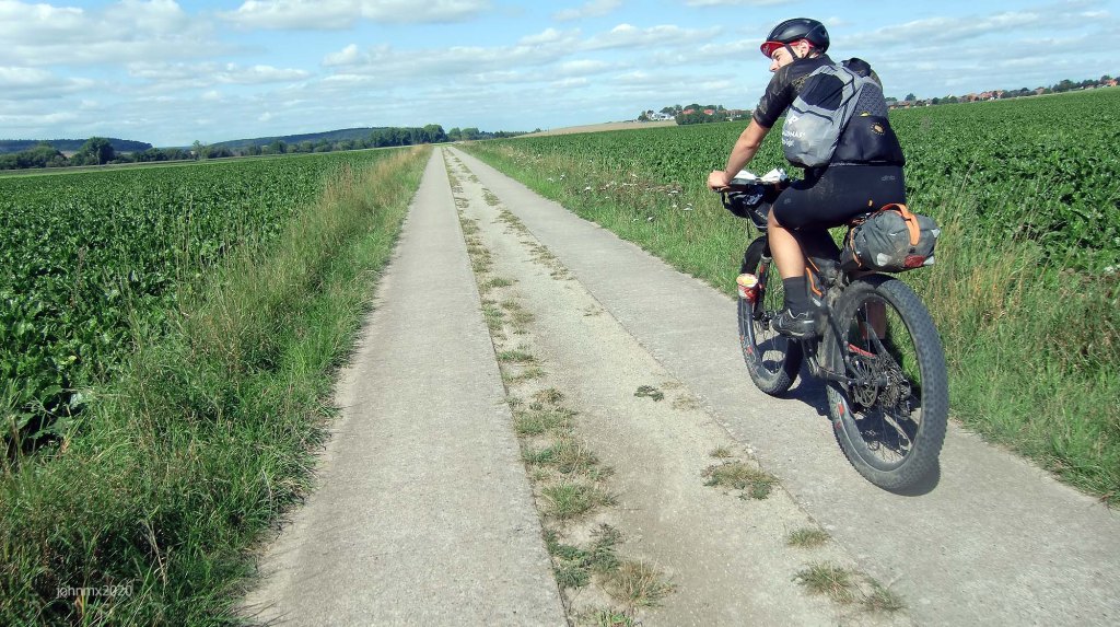
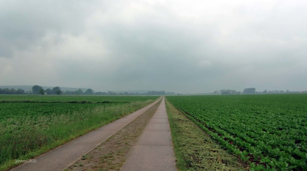
The total distance of the tour is 77km+ of which approximately 29km is ridden on public roads open to motor cars, the rest consisting of asphalt field roads, concrete Betonweg, gravel, cobbles, Ribinou and cycle paths. Much of the Betonweg is also a cycle path.
Sections
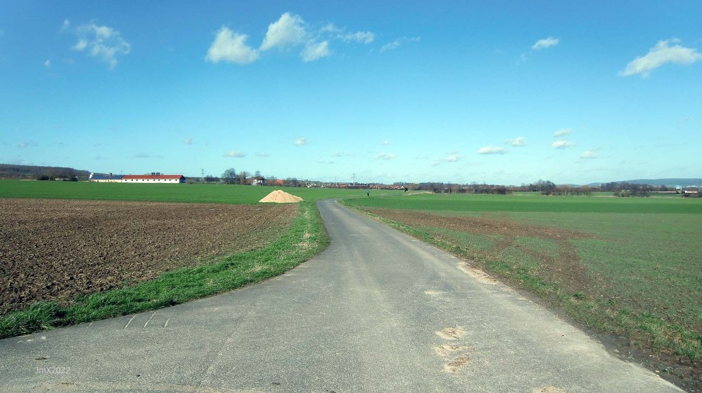
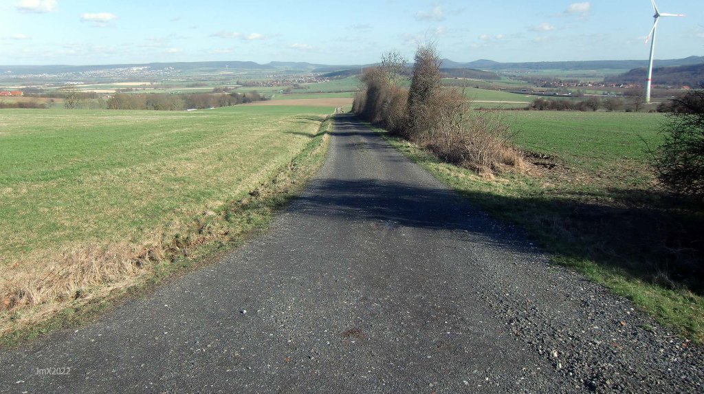
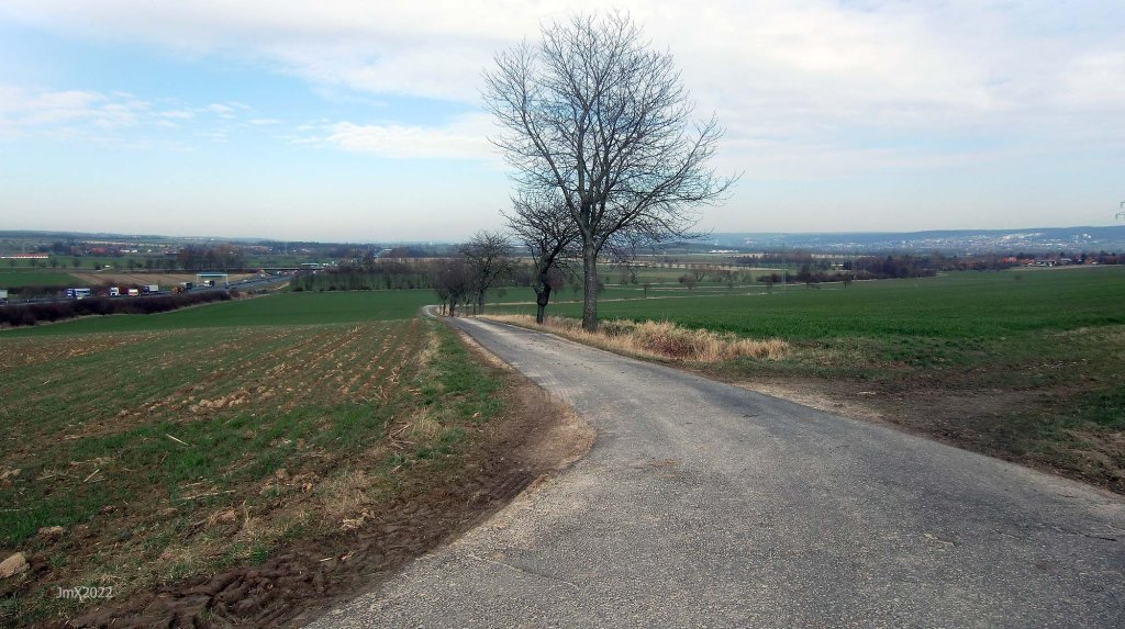
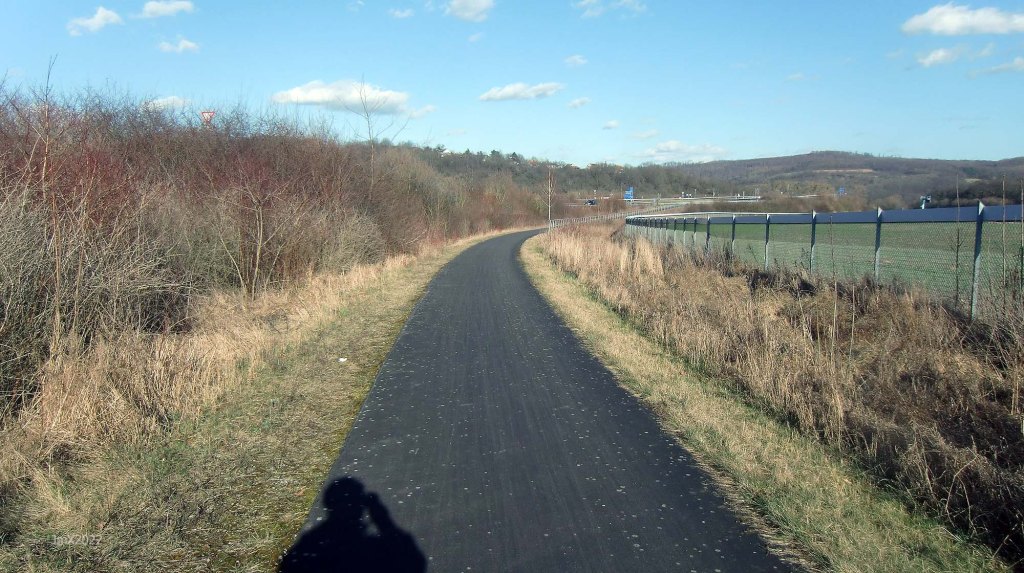
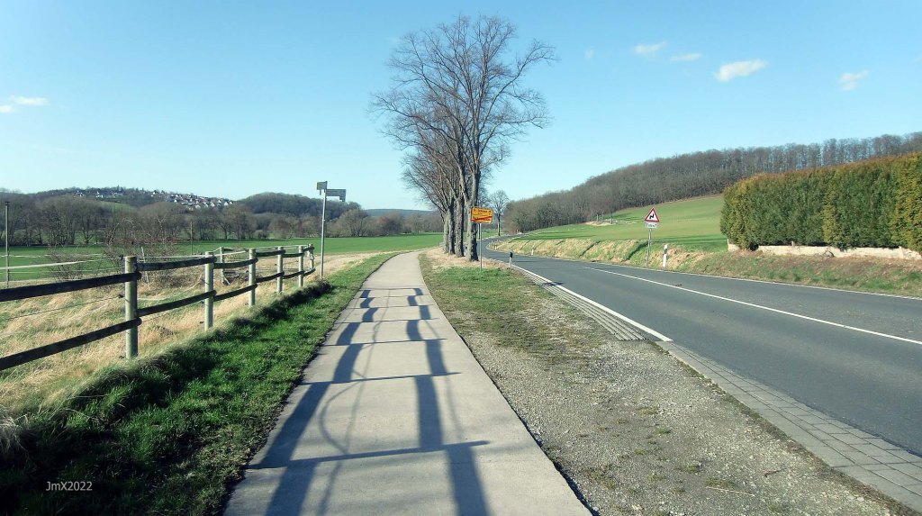
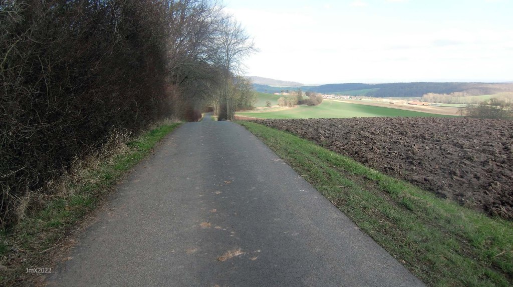
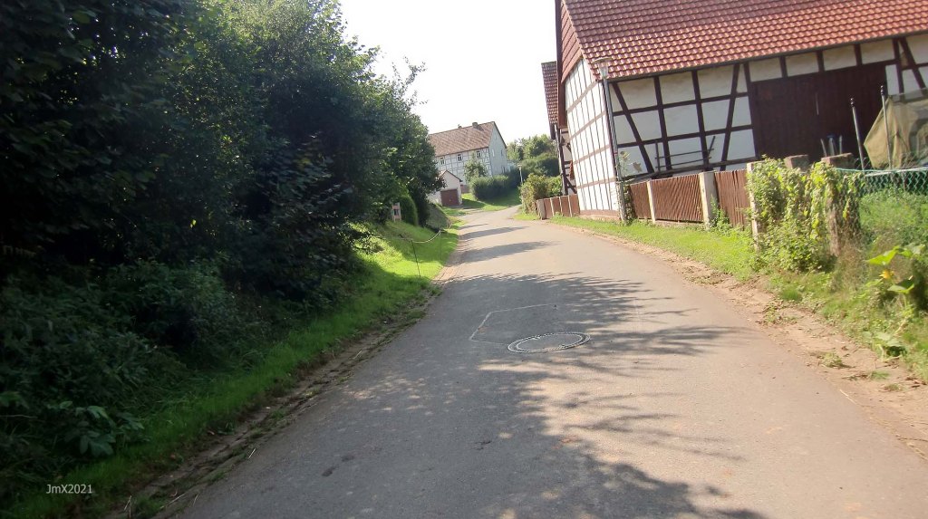
Feldweg Asphalt – not open to general motor traffic and may also be a cycle path.
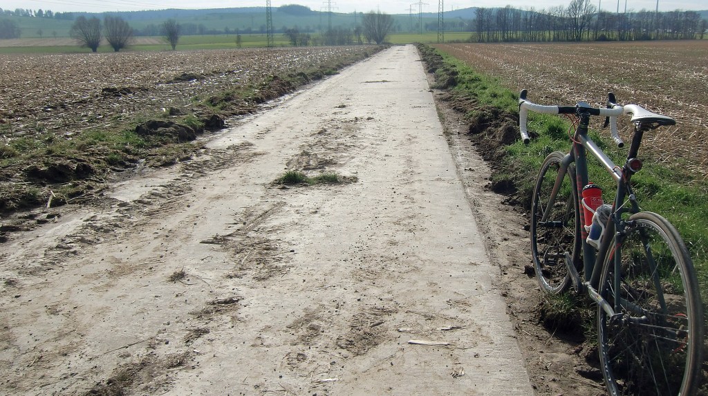
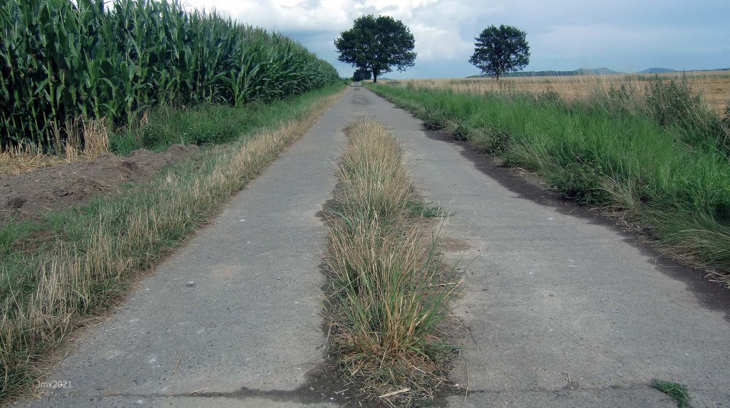
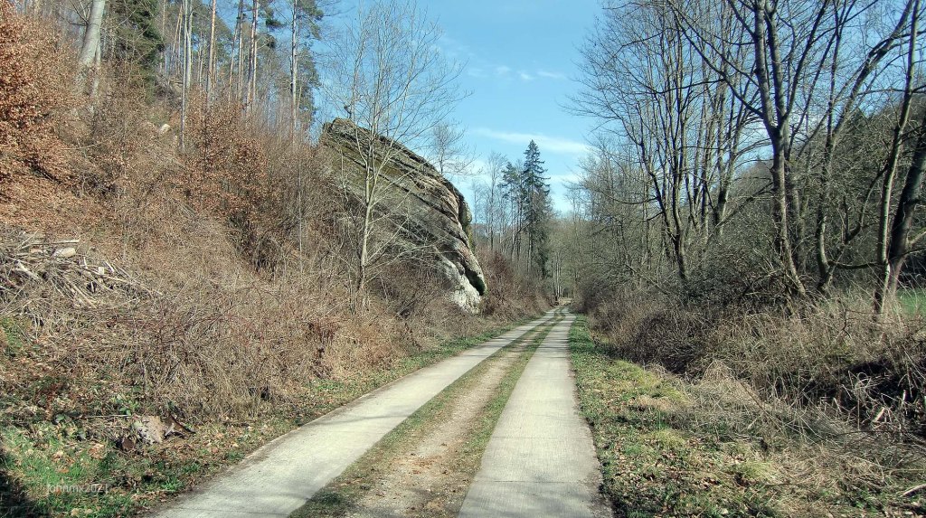
Feldweg Betonweg – concrete and as above.
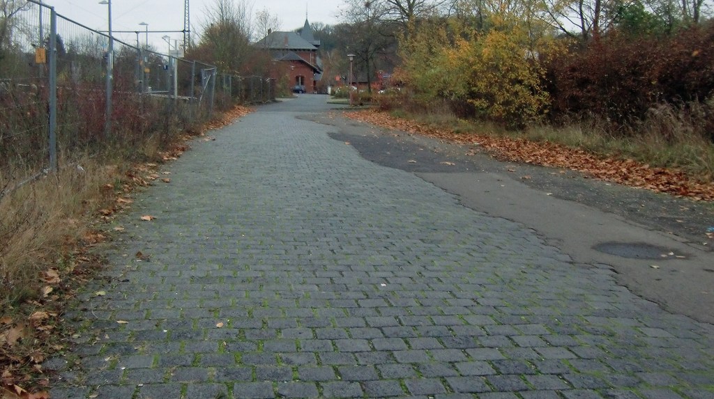
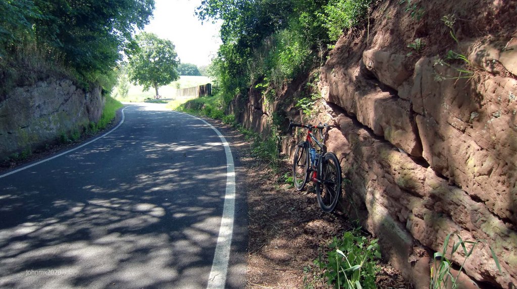
Cobbles (4 – 2.1km) – some may argue they are not, 2 are very mild.
Cycle path – a cycle path shared with pedestrians with an asphalt surface.
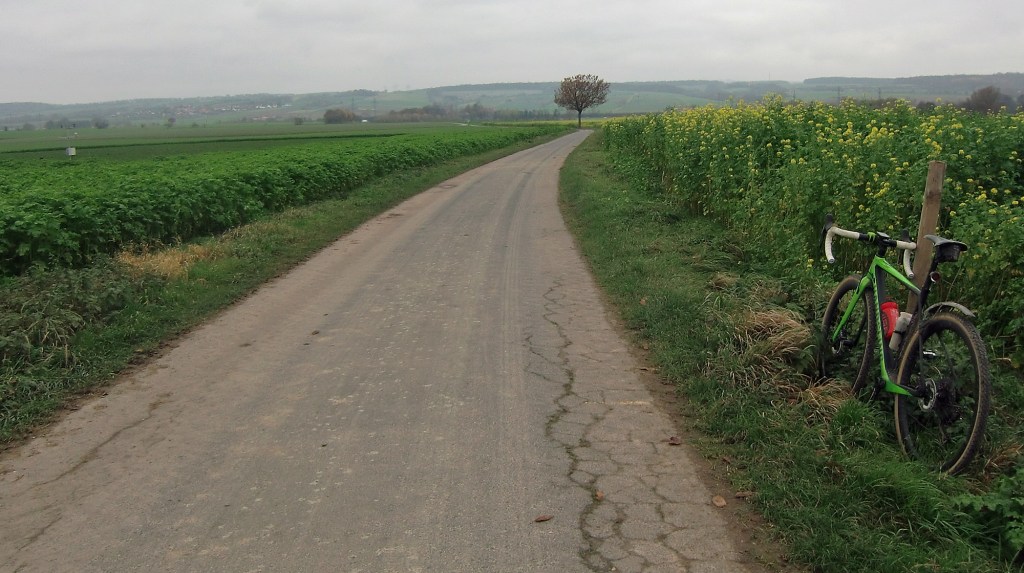
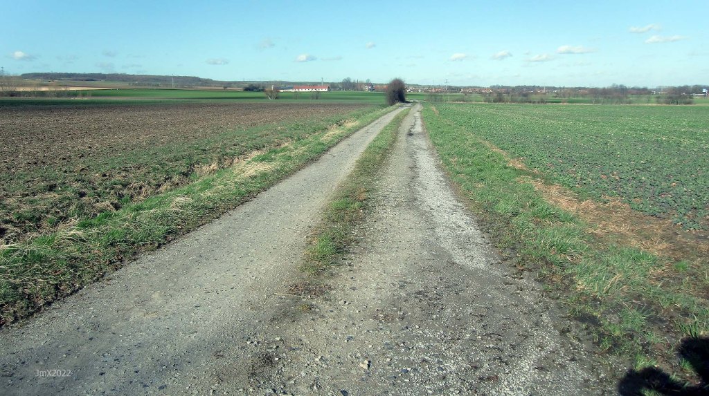
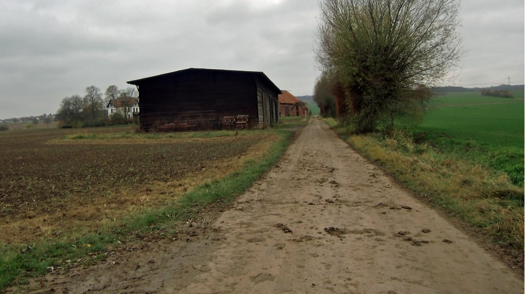
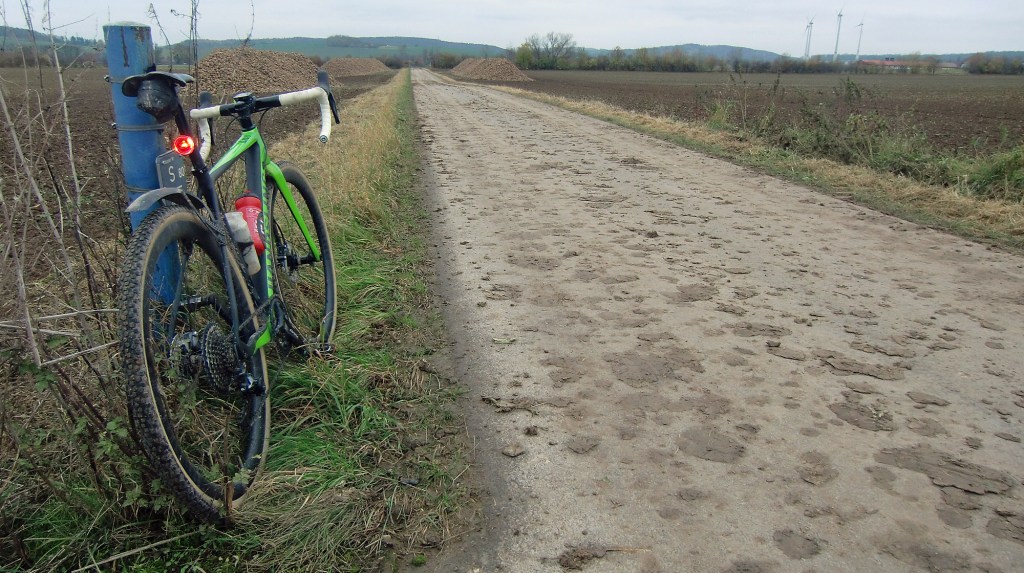
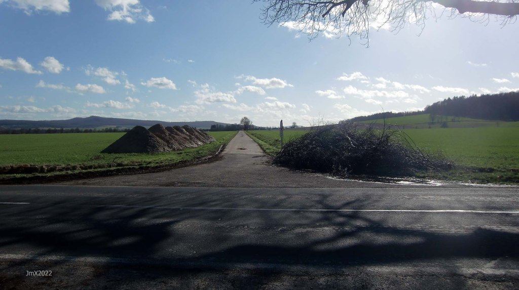
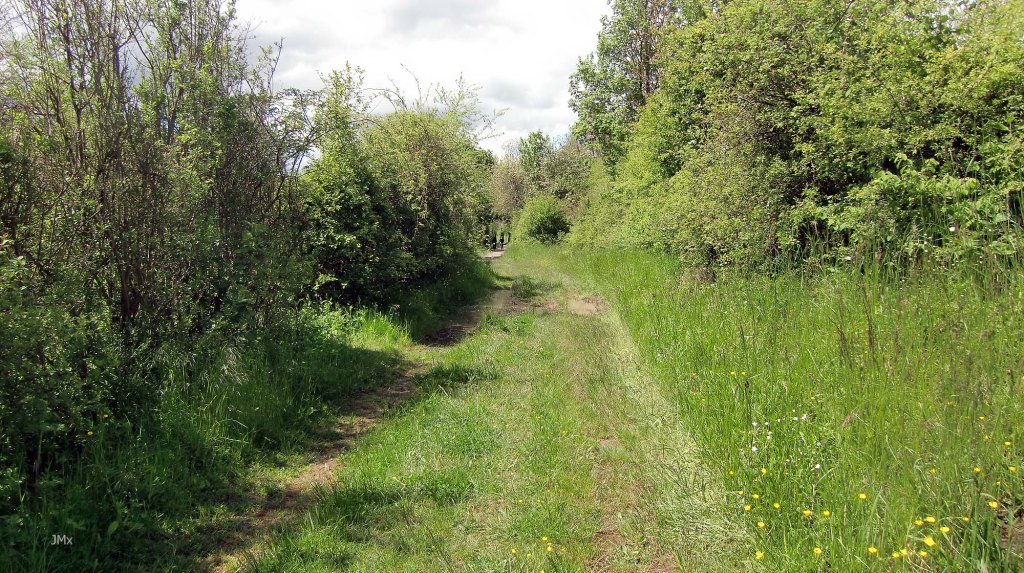
Feldweg Gravel (9 – 6.9km) – mild with loose stones, mostly hardpacked & hopefully not a mudbath.
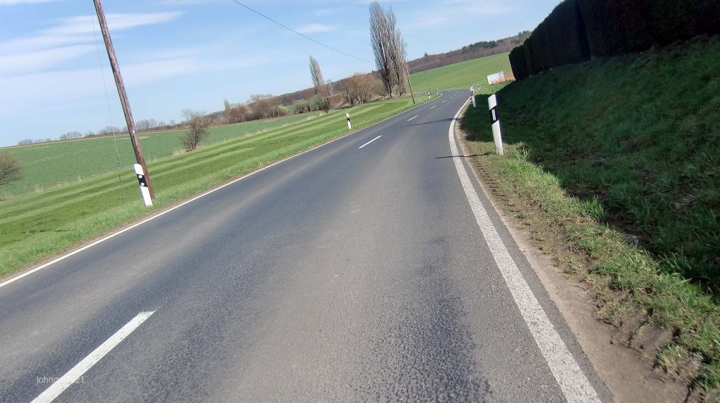
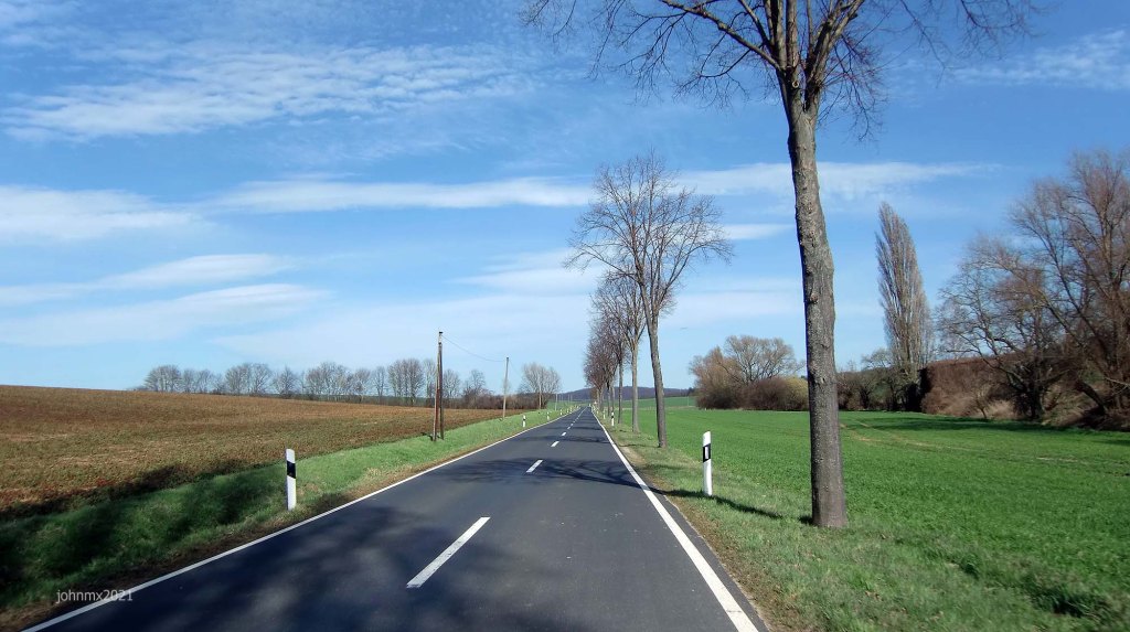
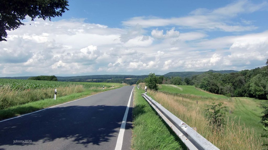
Public Road – Asphalt and open to cars etc (29km).
Ribinou (1 – 0.4km) – a Breton word for a green farm road.
Gravel/Cobble categories (this is purely subjective & made up by us)
We have graded the gravel 1 to 5 with 5 being the roughest (there is also an Hors Cat for very extreme).
Cat 1 – mostly hard packed and rideable on almost all bikes.
Cat 2 – often hard packed, a little rougher, potholes and challenging.
Cat 3 – loose surface, more ruts & potholes, gradient changes, bigger stones with greater caution required. (may include downhill or a turn)
Cat 4 – very rough, loose with larger stones and deep ruts/potholes.
Cat 5 – as 4 but may also be downhill, maybe tight turns or with single track and ruts.
HC – Mind bogglingly hard.
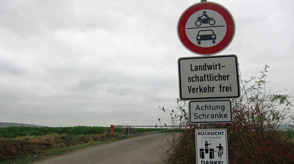
Please bear in mind that roads may at times be closed because of farm or forestry workings, please be considerate to all.
Many smooth asphalt or concrete field roads can be heavily compromised by detritous.
GPS Ride: Gö Feldweg Omloop – March 2 2022 – ´Road´ Ride
Garmin Connect: https://connect.garmin.com/modern/activity/8386276104
Strava: https://www.strava.com/activities/6761992959
Komoot: https://www.komoot.com/tour/690042640
Stages
The tour is divided into stages and stated are the types of road sections you will ride per stage.
Villages on route are included and at what distance they come.

Stage/Title
Stage 1 – Velodrome/Rosdorf @ 0 KM
After riding one lap of the velodrome we join a shared path almost at once and this section can be busy with other users so be watchful and be friendly!
We pass the Dreckwarte monument and go over the Leine Dam adjacent to the newly created wetlands.
The first gravel sector here also features on the Gö Strade Bianche.


SECTIONS – Cycle path, 2 Gravel (0.5 & 0.7 km – Cat 1/2), Public Road
Stage 2 – Rosdorf Cobbles
We ignore the asphalt cycle path and instead we ride the cobbles which run alongside the railway. 400 metres of pure pleasure!

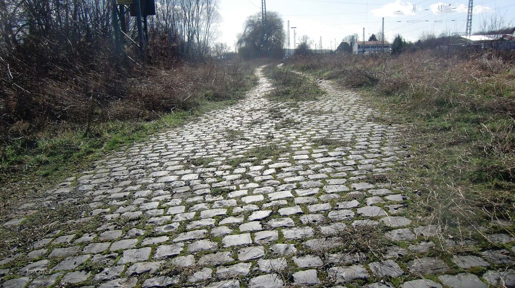
SECTIONS – Cobbles (0.4 km – Cat 2)
The adjacent cyclepath is verboten in line with being a cool cyclist !
Rosdorf Railway Crossing @ 4.7 km
Stage 3 – Rosdorfer Warte/Heinrich-Sohnrey Straße
We cross the railway and head onto Betonweg with the now lost medieval Rosdorfer Warte above us.


SECTIONS – Feldweg Asphalt, Betonweg, Cycle path, Public Road
Stage 4 – Heinrich-Sohnrey Straße/Sieboldhausen
The following four stages inspired the Feldweg Omloop, and these farm roads are often heavy with detritus.

SECTIONS – Feldweg Asphalt, Betonweg, Cycle path
Sieboldhausen @ 10.4 km
Stage 5 – Sieboldhausen/Volkerode
Via Lemshausen @ 13.2 km
We ride towards Lemshausen and travel back almost the same way.
SECTIONS – Feldweg Asphalt, Gravel (0.2 km – Cat 2), Public Road
Volkerode @ 15.3 km
Stage 6 – Volkerode/Hauptstraße
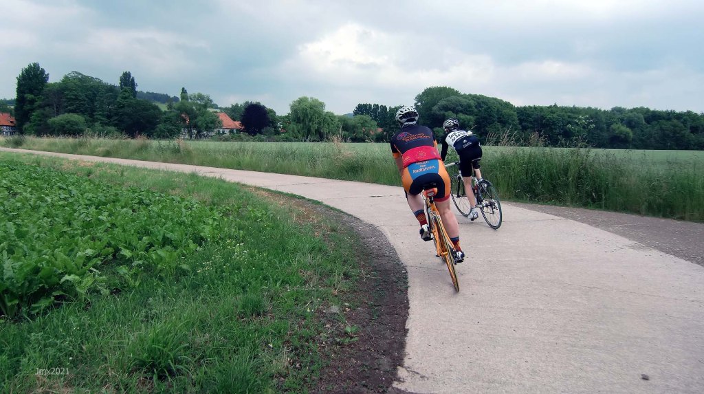
Here we climb 1.7km in length peaking at over 10% through the village. At the hill top we ride onto a long gravel road running along the ridge which then seamlessly develops into a mega descent on gravel (2.2 km of gravel in total) and asphalt.
This descent should be treated with massive respect especially if you are on a road bike. At first the gravel is mild but it becomes rough for a short distance just before the final asphalt stretch.
Not quite the Kemmelberg but a homage nonetheless – the descent of the Kemmelberg is scary!.
On offer are some great views of Gö and the valley below.
NOTE: If on a road bike you wish you can cut out this climb (as do the other versions of this ride) and go to Stage 7 by turning left at the first junction on the climb in Volkerode and pick up the route just before the wind turbines.


SECTIONS – Feldweg Asphalt, Gravel (2.2km – Cat 1/2 with the descent at Cat 3), Public Road
Stage 7 – Hauptstraße/Sieboldhausen
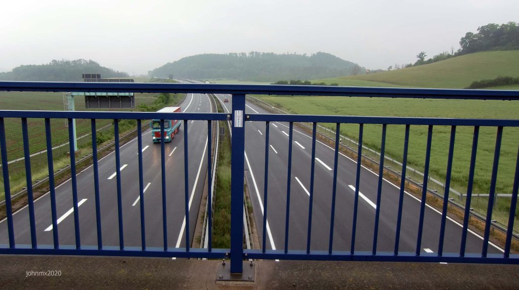
This is a lovely stage crossing the Autobahn featuring a flowing descent but which can be tricky when wet.

SECTIONS – Feldweg Asphalt, Betonweg, Public Road
Sieboldhausen @ 21.6 km
Stage 8 – Sieboldhausen/Sieboldstraße


SECTIONS – Feldweg Asphalt, Betonweg, Public Road
Stage 9 – Sieboldstraße/Obernjesa
You are obliged by all that is cool not to ride on the asphalt, but to stick to the cobbles.
There is a baker in Obernjesa. (Bäckerei Könnecke, Dramfelder Str. 8)


SECTIONS – Betonweg, Cobbles (0.3 km – Cat 2), Public Road
Obernjesa @ 27.9 km
The 56km and 40km tours go East at this point short cutting to Reinhausen missing out the Southern leg completely.
Stage 10 – Obernjesa/Klein Schneen
Klein Schneen @ 30.0 km
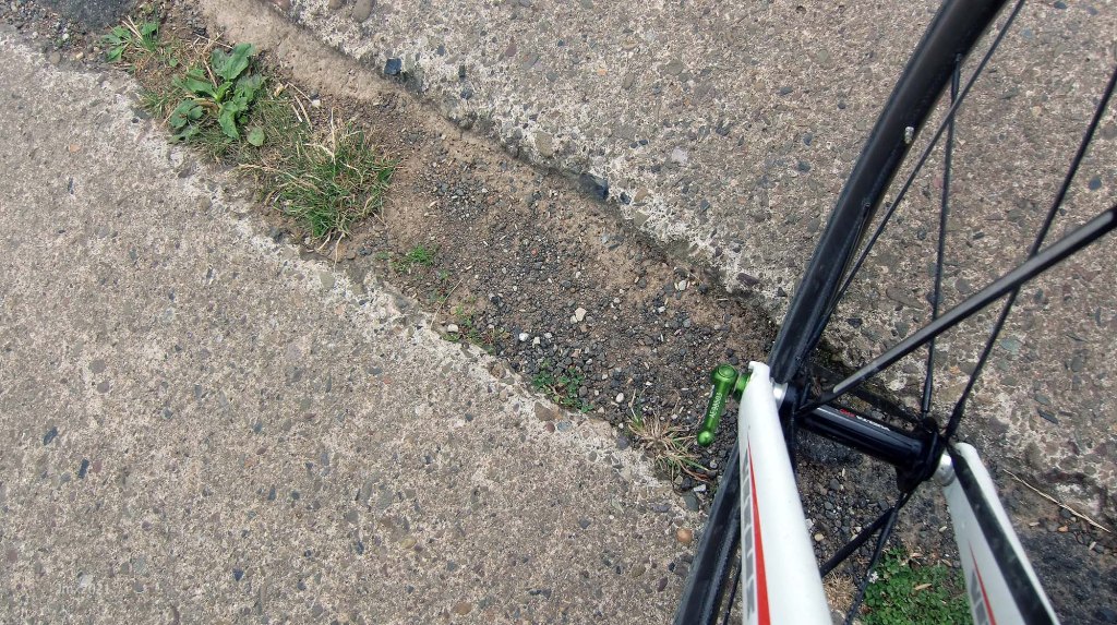
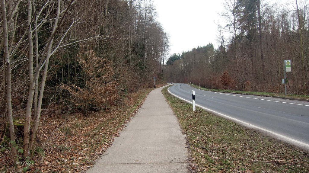
Be very careful there is a blind spot when crossing the main road – watch out for fast traffic emerging from the right (see picture right below).

SECTIONS – Feldweg Asphalt, Cycle path, Public Road
Friedland @ 33.7 km
There is a direct link to Göttingen from the Friedland Railway Station. In addition the Friedland Transit Camp Museum is situated here and atop the hill beyond the cemetery (containing many refugee war graves) there is the Friedland-Gedächtnisstätte monument.


Stage 11 – Klein Schneen/Friedland/Marzhausen
There is an Edeka supermarket in Friedland.
We venture in and out of Hesse.


SECTIONS – Cobbles (0.2 km – Cat 1), Cycle path, Gravel (0.1 km – Cat 1), Public Road
Marzhausen @ 35.6 km
Stage 12 – Marzhausen/Autobahn Gravel
We cross over the Autobahn and railway.
SECTIONS – Cycle path, Public Road
Stage 13 – Autobahn Gravel/Niedergandern
The gravel sector here also features on the Gö Strade Bianche.


SECTIONS – Feldweg Asphalt, Gravel (0.9 km – Cat 1), Public Road
Niedergandern @ 39.5 km
Stage 14 – Niedergandern/Besenhausen
SECTIONS – Betonweg
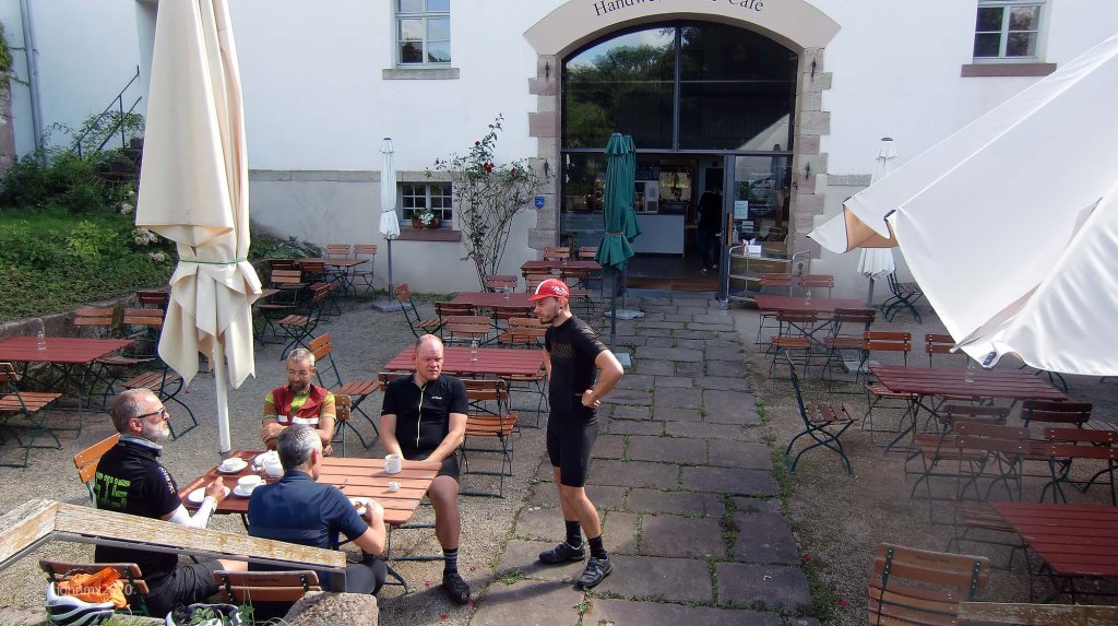
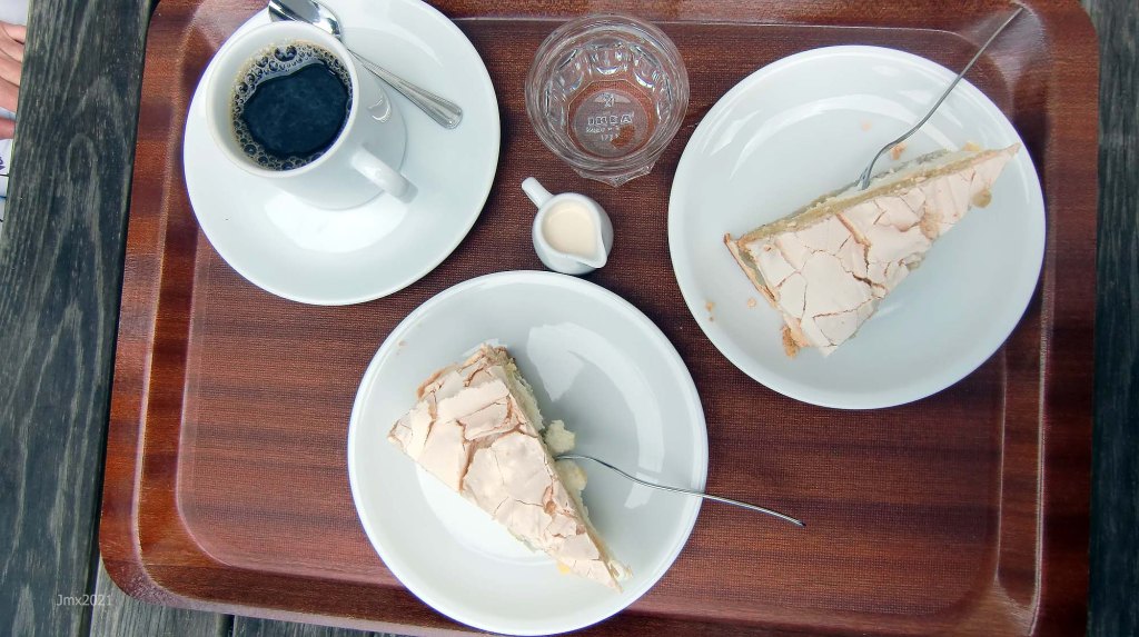
Besenhausen Cafe @ 40.8 km
There is a cafe and toilets – check their website for details – https://cafe-besenhausen.de/.
Iron Curtain
As we leave Besenhausen looking to our right we can see signs stating that this was once the Iron Curtain and remains the state line of Thuringia, and a number of information boards illustrates how this area looked before the Internal Border was removed after 1989- https://wegdergeschichte.de/.
We are overlooked at this spot by a defunct DDR bunker.


Stage 15 – Besenhausen/Friedland
Via Reckershausen @ 43.0 km
As we pass through the village it is worthy of note that there is a bike shop here https://www.fahrradke.de/ and a Marshall Amp Museum.

SECTIONS – Betonweg, Cycle path, Public Road
Stage 16 – Friedland/Groß Schneen
SECTIONS – Feldweg Asphalt, Betonweg, Cycle path, Public Road
Groß Schneen @ 47.1 km
There is a baker in Groß Schneen. (Bäckerei Könnecke, Landstraße 22).
Stage 17 – Groß Schneen/Ballenhausen
The gravel sector here also features on the Gö Strade Bianche.


SECTIONS – Betonweg, Gravel (0.2 km – Cat 1), Public Road
Ballenhausen @ 50.8 km
Stage 18 – Ballenhausen/Reinhausen
SECTIONS – Public Road
Reinhausen @ 53.5 km


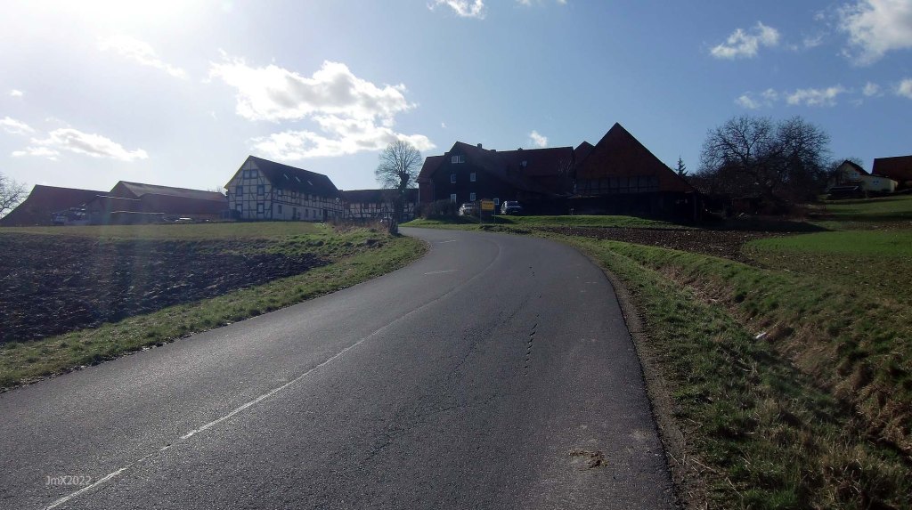
The village of Reinhausen is notable for the wall of stone that lines the main road.
NOTE: If you would like to cut short the ride and head back to the velodrome, you can turn left to Diemarden (as does the 61km and 40km routes) rather than go right toward Bremke.
Stage 19 – Reinhausen/Bremke


SECTIONS – Feldweg Asphalt, Betonweg, Public Road
Bremke @ 58.9 km
In Bremke there is a shop and café, open most mornings (we think) – Bremker Dütt & Datt, 37130 Gleichen.
Stage 20 – Bremke/Appenrode
Look out for the memorials to the Knights of the Gleichens and on the highest hill the ruins of the Gleichen Castles can be found.


SECTIONS – Feldweg Asphalt, Betonweg, Public Road
Appenrode@ 60.5 km
Stage 21 – Appenrode/Gelliehausen
A section of public roads offering a long descent after some climbing from Appenrode via Gelliehausen to Benniehausen. If you look to your left the Gleichen Hills overlook you where two castles once stood.
At the highest point of the asphalt road there is a great view looking toward the Harz Mountains.
SECTIONS – Public Road
Gelliehausen @ 62.8 km
Stage 22 – Gelliehausen/Benniehausen
The descent on public roads continues.
SECTIONS – Public Road
Benniehausen @ 64.5 km
Stage 23 –Benniehausen/Steinmuhle
We ride along on or adjacent to the defunct Gartelbahn.


SECTIONS – Betonweg, Gravel (1.1 km – Cat 2), Public Road
Garetal/Steinmuhle @ 67.5 km
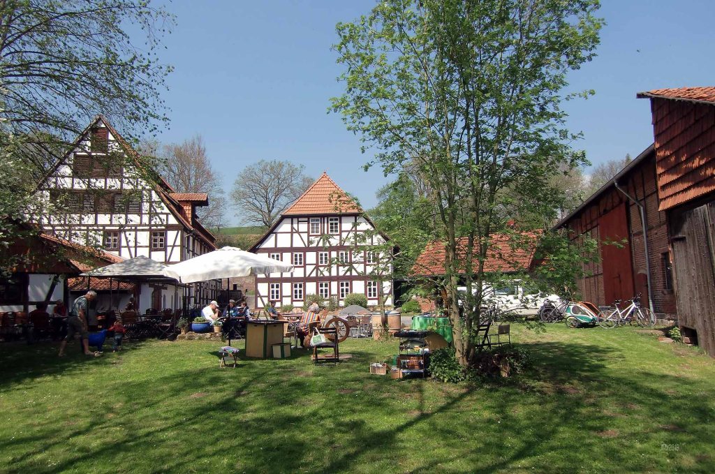
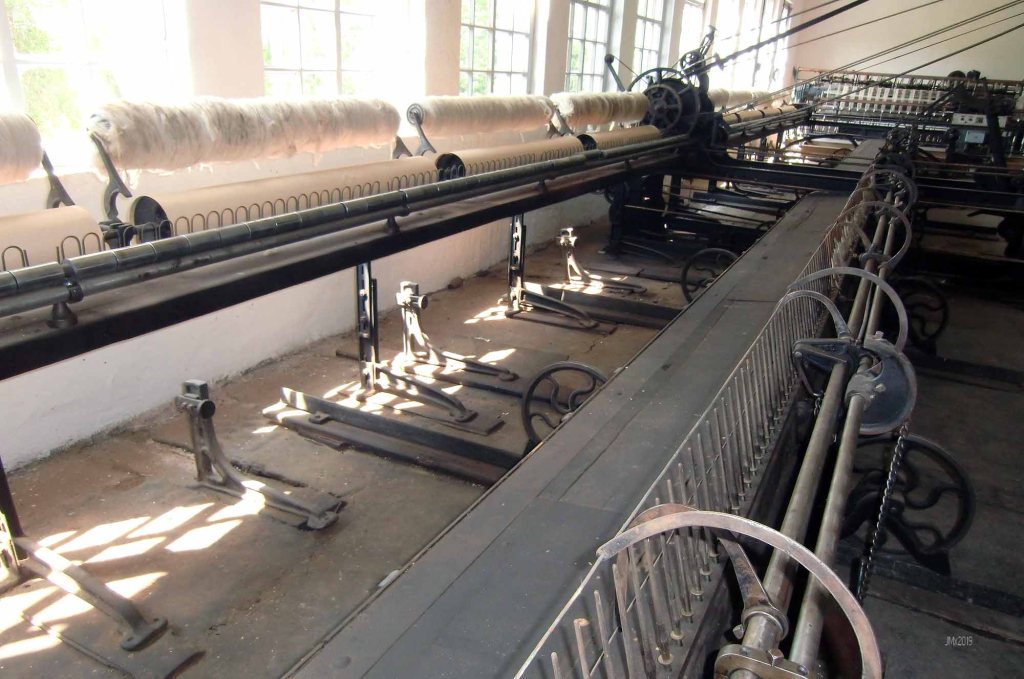
At the Steinmuhle/Gartetal is the Historic Spinnerei (from May each Sunday through to October there is a cool outdoor cafe here).
Stage 24 – Steinmuhle/Klein Lengden/Diemarden
We continue to ride along or adjacent to the defunct Gartelbahn.

SECTIONS – Cycle path, Public Road
Klein Lengden ´Station´ @ 68.6 km
There is a Backhaus at Steinslieth 2, 37130 Gleichen-Klein Lengden. Mo.–Sa. 8.00–18.30 (next to Rewe on the hill).
Diemarden @ 70.3 km
Stage 25 –Diemarden/Gartelbahn/A27
The stage features one section of Ribinou a Breton word for farm or a green road. Although this section is stated as also featuring cobbles the narrow cycle path is in fact very mild, but it can be very busy with other users.
This section of Ribinou can get very muddy and you may wish to make a premature exit (its OK in summer, but there is big hole). It is also rough and you can instead ignore it completely and ride the mild cobbles of the Gartelbahn.
Note: There are plans to widen the cycle route and this may see a temporary closure, but as ever in German local politics there is now a big argument about it, therefore it could take a long time before it happens.


SECTIONS – Feldweg Asphalt, Cobbles (1.3 km – Cat 1), Public Road, Ribinou (0.4 km – Cat 3)
A27-Garteschenke @ 73.9 km
Stage 26 – A27 to the Velodrome
Be very careful crossing the busy A27.


SECTIONS – Feldweg Asphalt, Betonweg, Cycle path, Gravel (0.5 km – Cat 1), Public Road
Velodrome @ 77.74km (78+ km if a lap of the track is undertaken at ride end)

Way Points
Velodrome @ 0 KM
Rosdorf Railway Crossing @ 4.7 km
Sieboldhausen @ 10.4 km
Lemshausen @ 13.2 km
Volkerode @ 15.3 km
Sieboldhausen @ 21.6 km
Obernjesa @ 27.9 km
Klein Schneen @ 30.0 km
Friedland @ 33.7 km
Marzhausen @ 35.6 km
Niedergandern @ 39.5 km
Besenhausen Cafe @ 40.8 km
Via Reckershausen @ 43.0 km
Groß Schneen @ 47.1 km
Ballenhausen @ 50.8 km
Reinhausen @ 53.5 km
Bremke @ 58.9 km
Appenrode@ 60.5 km
Gelliehausen @ 62.8 km
Benniehausen @ 64.5 km
Garetal/Steinmuhle @ 67.5 km
Klein Lengden ´Station´ @ 68.6 km
Diemarden @ 70.3 km
A27-Garteschenke @ 73.9 km
Velodrome @ 77.74km (78+ km with a lap of the track)
Attention/Take Note
The Gö Feldweg Omloop is a suggested cycle tour route and not a race or a contest, you should choose to follow our description or a GPS of the outlined route you do so at your own risk.
It is your responsibility to ride in a safe and in a comfortable manner suited to your own estimated skill or fitness level.
Die Gö Feldweg Omloop ist ein Routenvorschlag für eine Fahradtour und kein Rennen oder Wettkampf. Solltest Du Dich dafür entscheiden, unserer Tourbeschreibung oder einem GPS der beschriebenen Route zu folgen, tust Du dies auf eigene Gefahr.
Du bist selbst dafür verantwortlich, entsprechend Deinem Können und Fitness-Niveau, so zu radeln, wie Du es Dir zutraust.
Contact – https://veloklubhaus.com/contact/
