
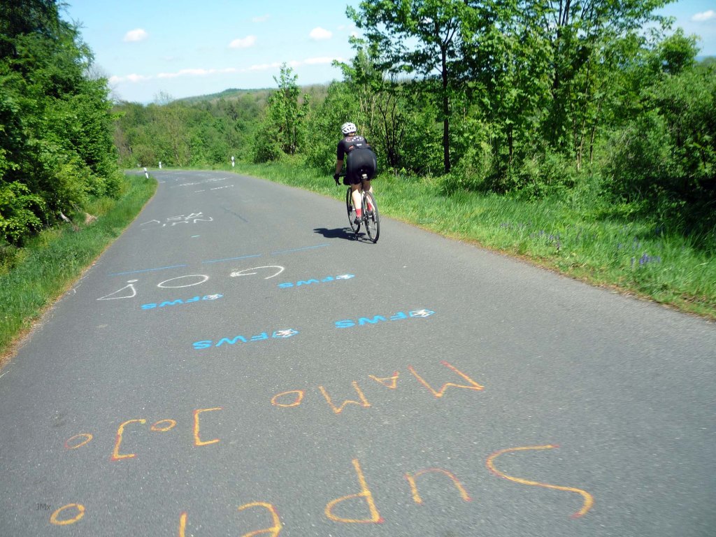
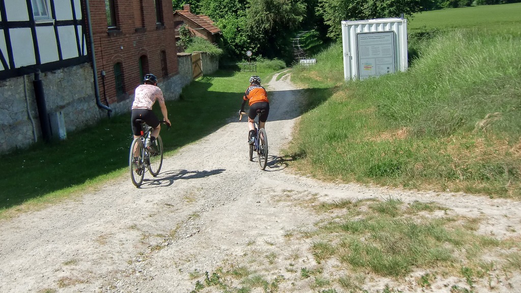
This Gö Gravel informal gravel ride takes us out of Gö to the highest height and we think about Carl Frederick Gauß, who might be the patron saint of GPS and Strava.
We also go down the asphalt descent of the Hoher Hagen which is a major test on the annual Tour d´Energy because that route goes up it!
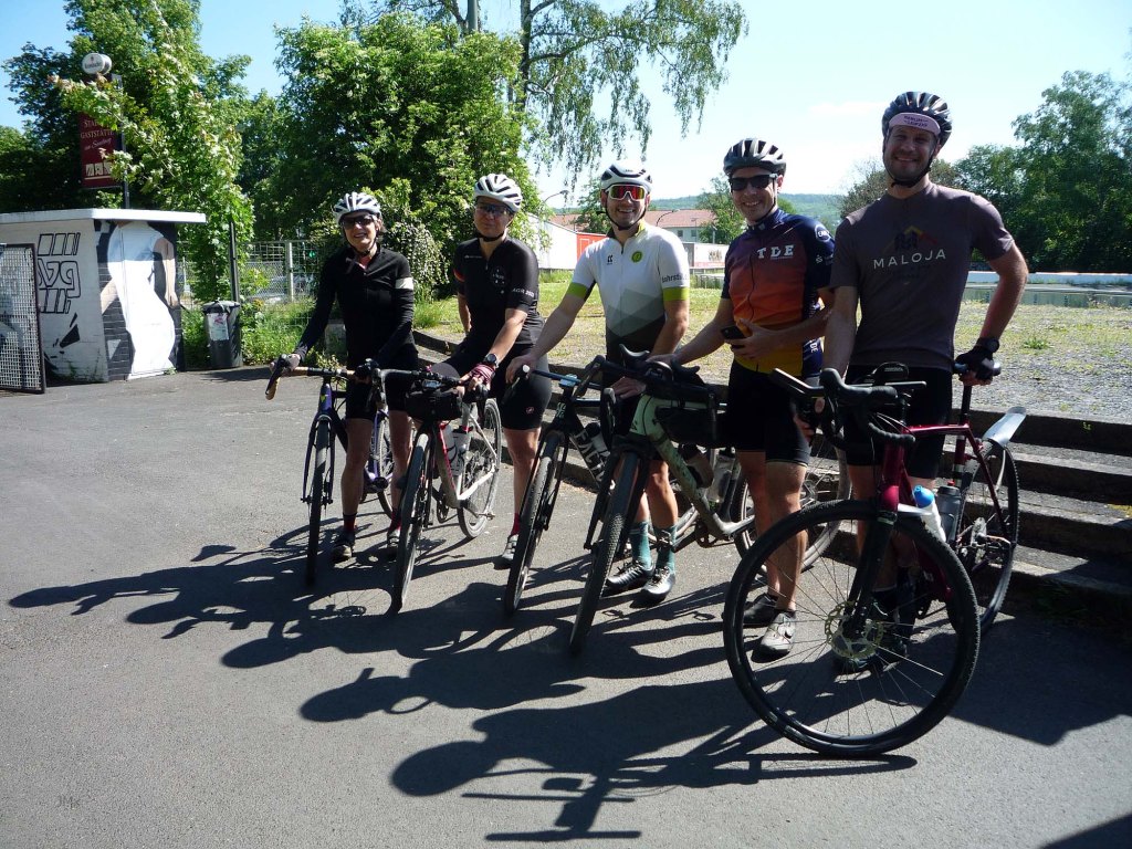
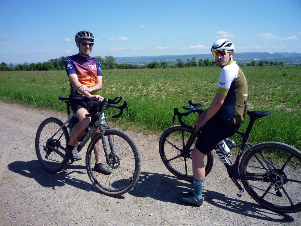
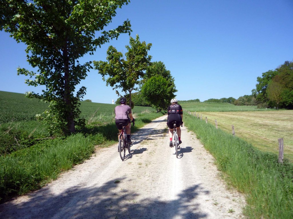
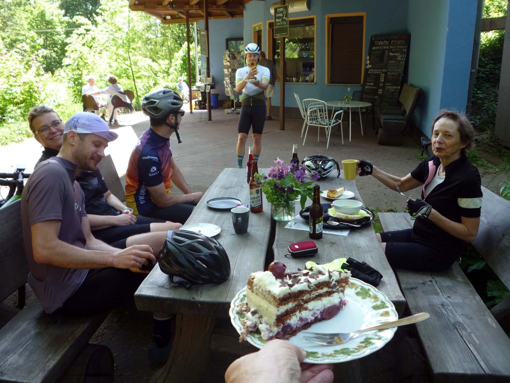
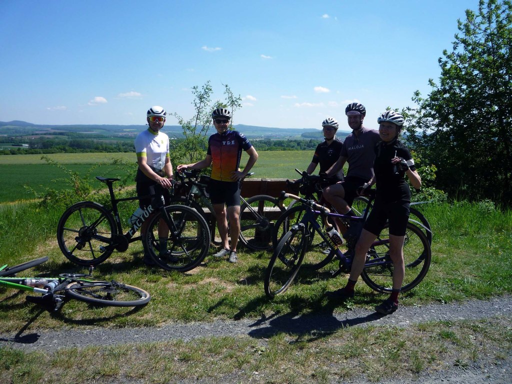
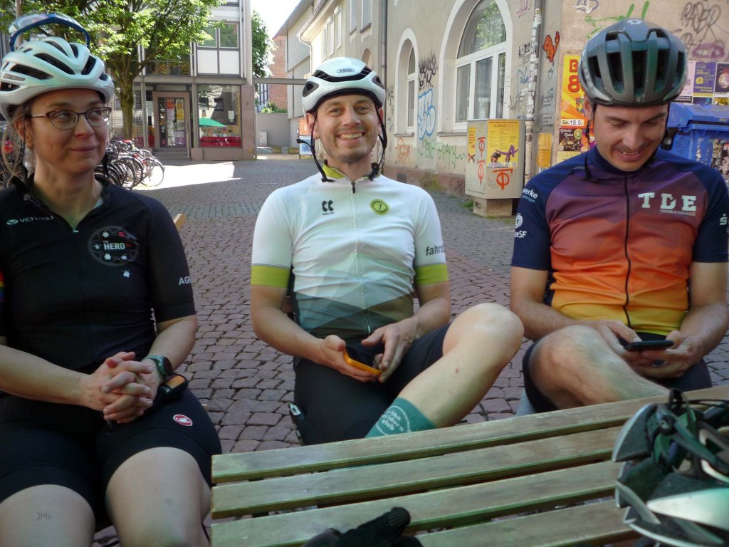
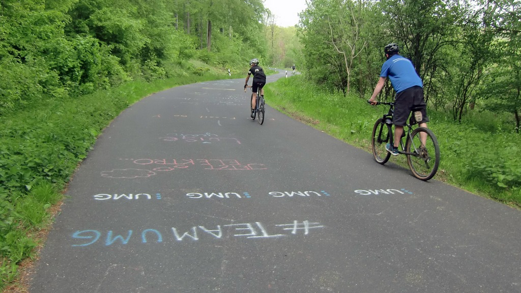
Danke to Chris, Josh, Sandra, Konstantin, and Andrea for their company.
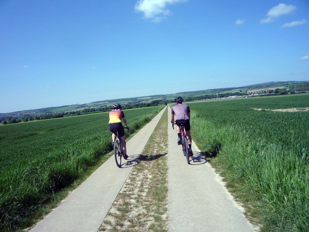
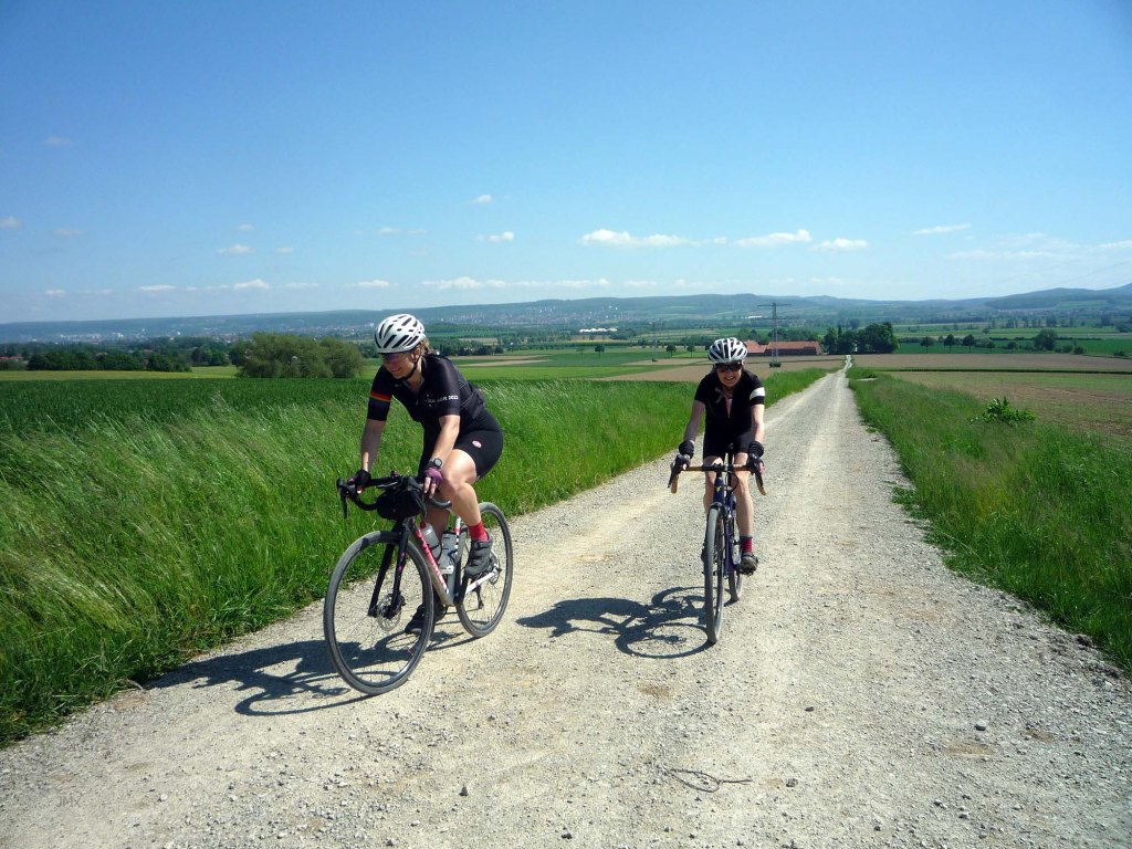
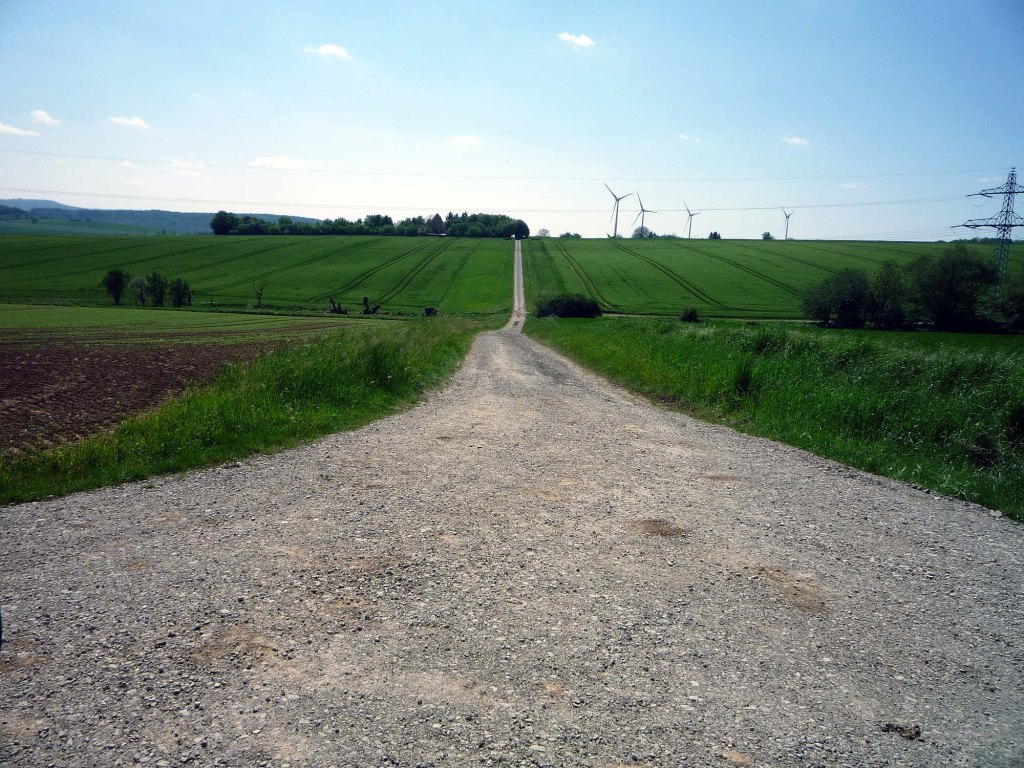
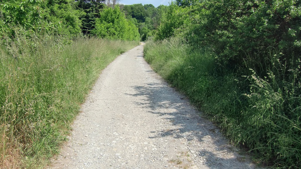
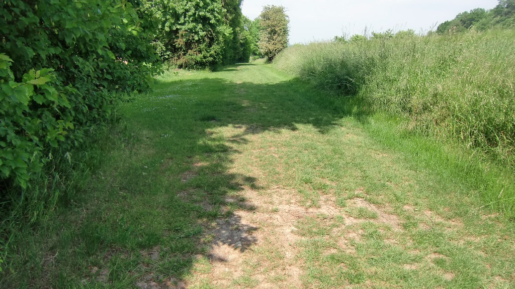
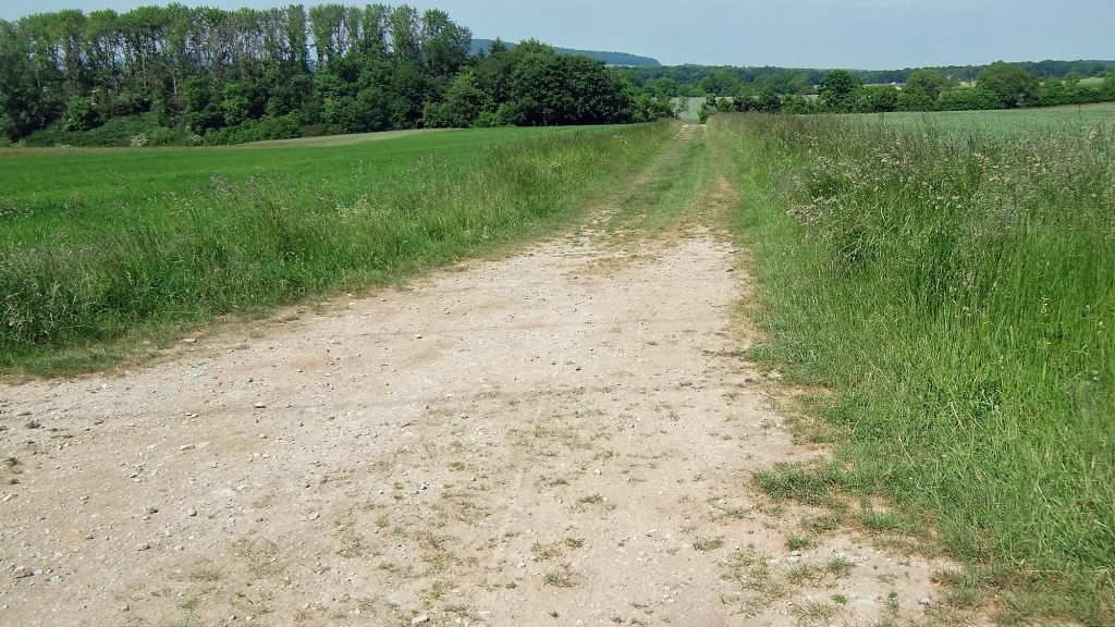
Ride Gallery


Gauß and the Hoher Hagan, Measuring a Kingdom

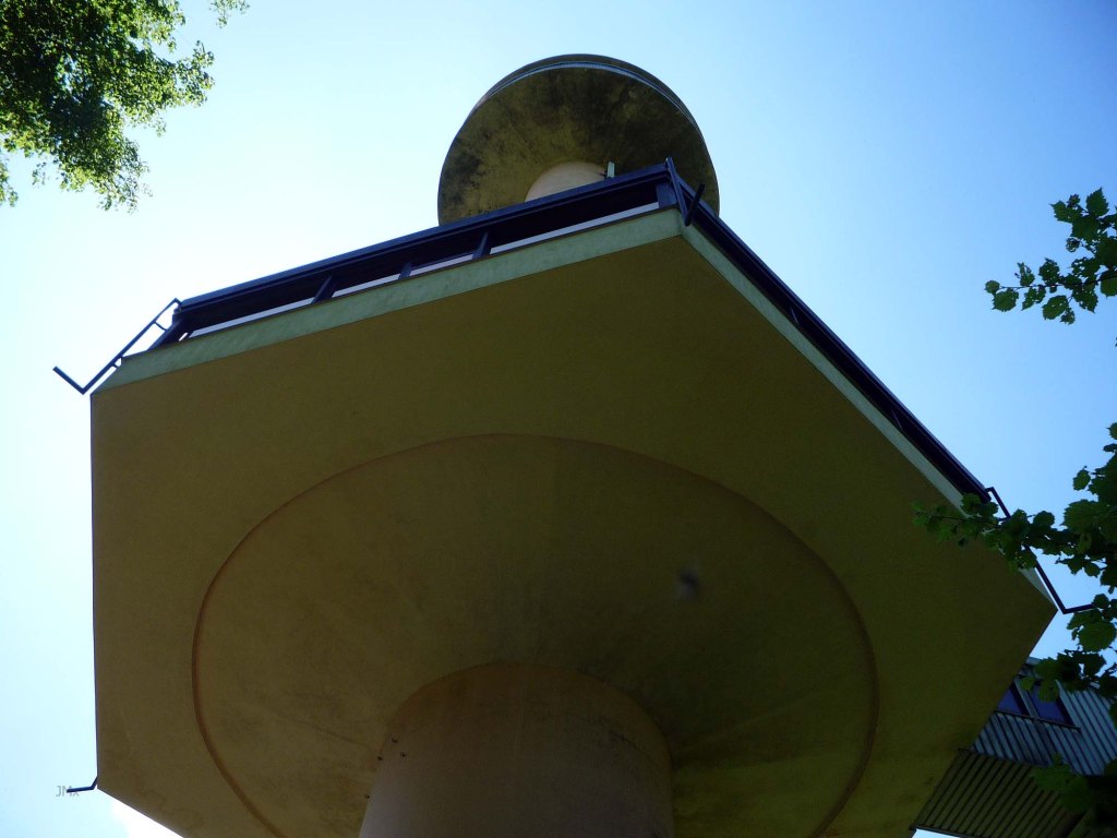
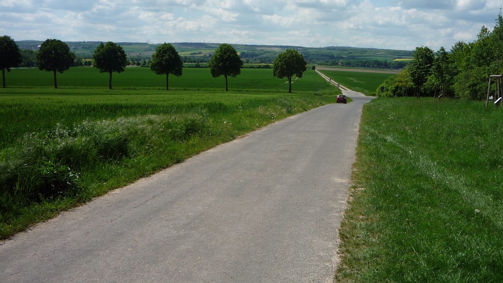
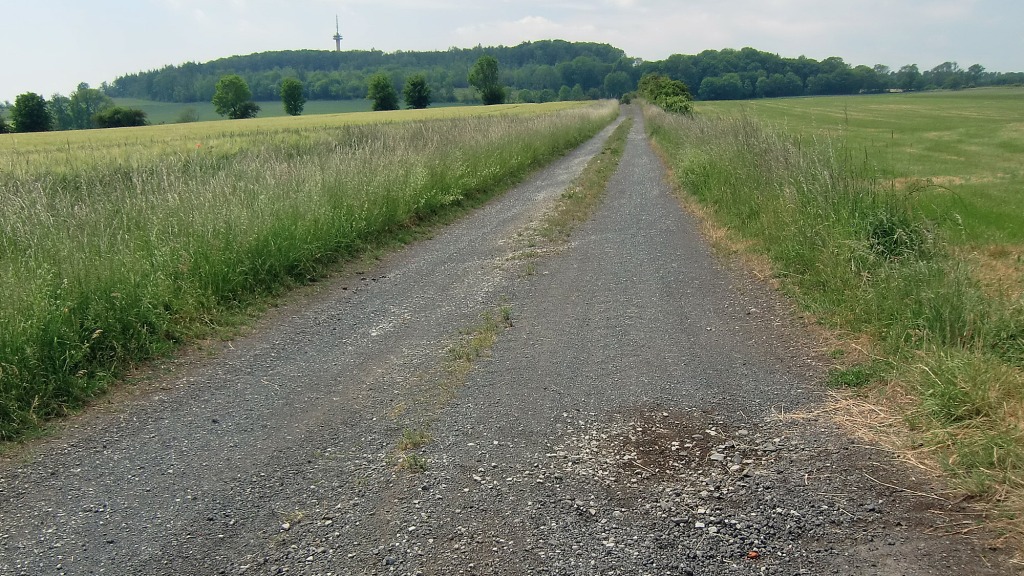
The Hoher Hagan and the Gauß Turm is the target
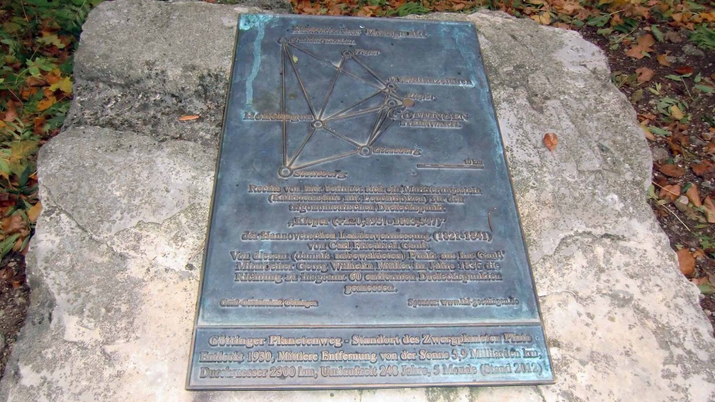
The Hoher Hagen was one of many datum points used by Carl Friedrich Gauß to formulate a way of measuring the Kingdom of Hannover during 1820 to 1826.
Gauß was able to triangulate the Hoher Hagen (492m), the Brocken Mountain in the Harz (1,142m) and the Inselsberg in Thuringia (916m) with a low level of mathematical error despite the mountains being far apart and considering the Earths curvature plus other factors.
Gauß Steins

Gauß Meridian Stein – A southern most point marker
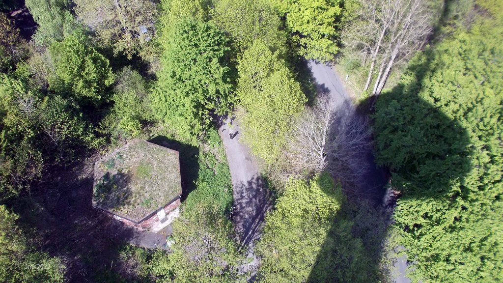
Gauss positioned measuring stone markers across the landscape and most have been lost, many being removed by farmers and landowners who were suspicious that they might be part of a new tax regime. Some of the locations near Göttingen remain visible, one is on the Gieseberg at Diederode, another atop the Kleperberg (Bismarck Turm) and upon the Steinkopf near Groß Schneen (see picture above). Now almost two hundred years later there is greater tree cover and this obscures the views from these datum points making it impossible to replicate the Gauß line of sight survey.
Telegraph
His work and development of mathematical surveying, plus his action with Wilhelm Weber to transmit the first telegraphic message in 1833, suggests to me that we could call Gauß the father of GPS and the patron saint of Strava.
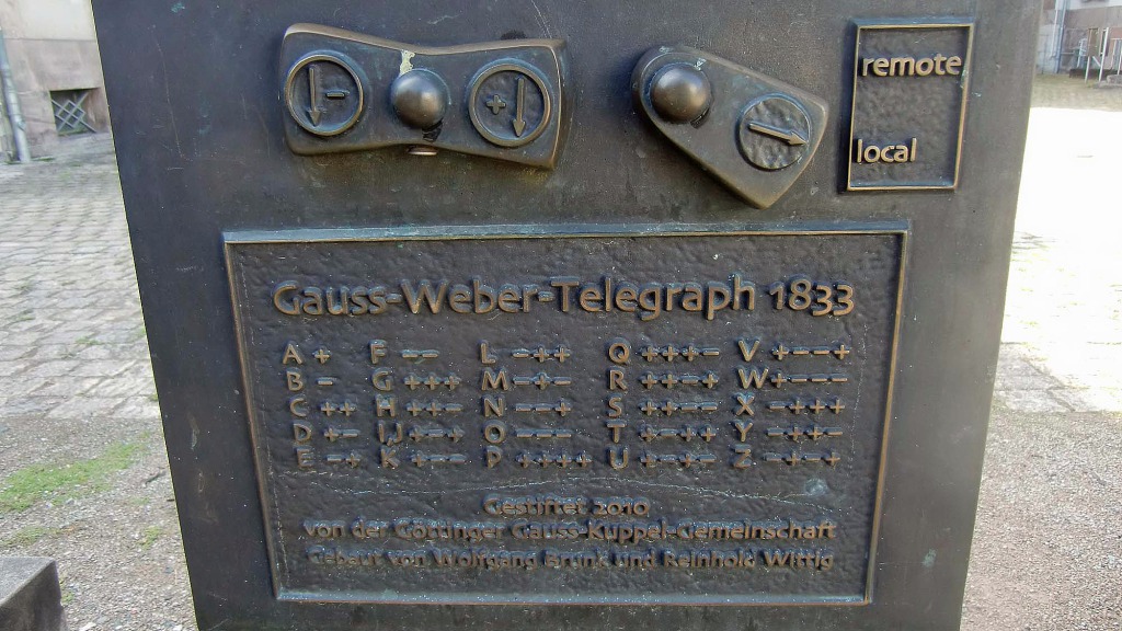

Kleperberg, Bismarck Turm (l) & Gauss Telegraph, Alte Observatory (r), The line of transmission within Gö & Gauß grave in Gö
Gauß Turm

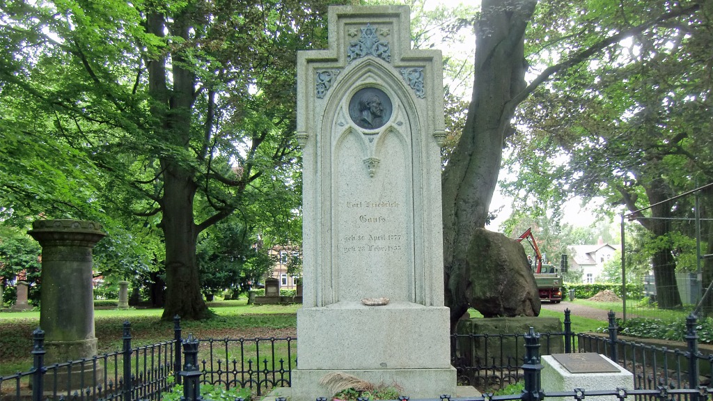
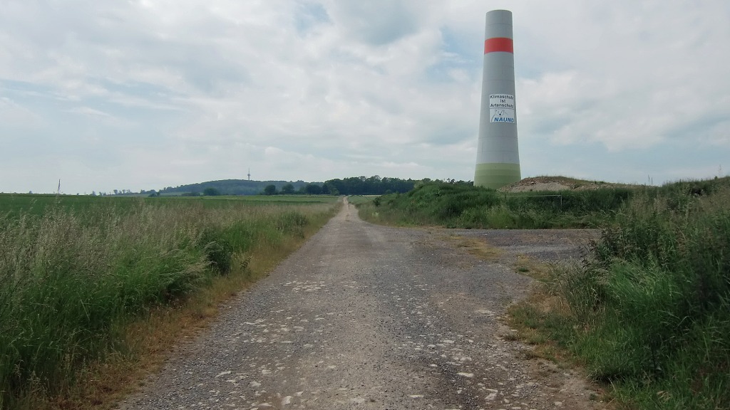
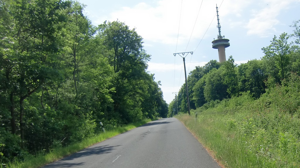
Gauß died at Gö (1855) and atop the Hoher Hagen is the Gauß Turm named in his memory (51m). This was opened (1964) after the previous one fell (1963) due to being undermined by Basalt mining directly below it. Despite the end of mining operations, the new tower almost followed suit and it had to be repaired when cracks appeared soon after construction.

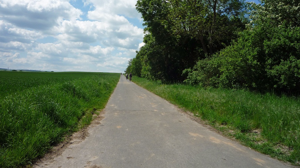
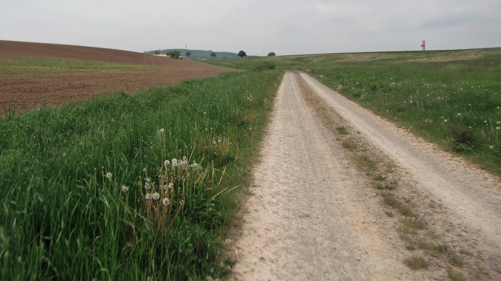
The Ride – 43.83 in total
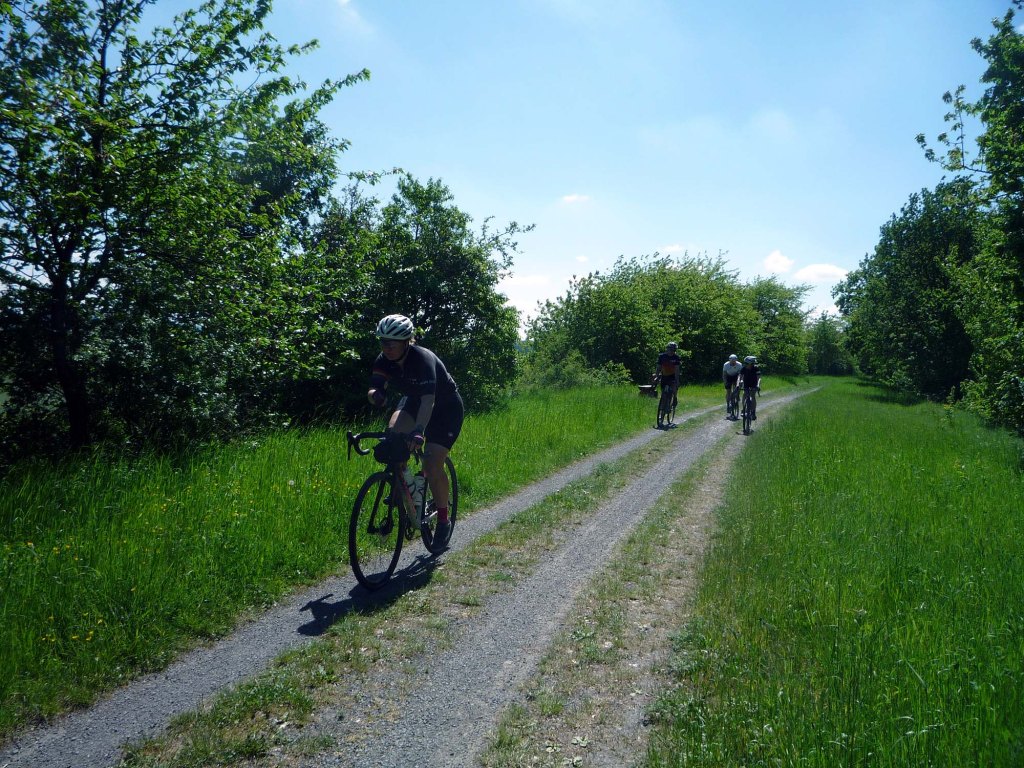
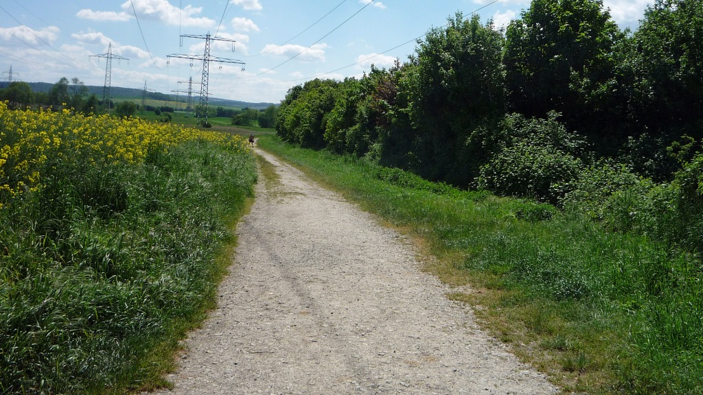
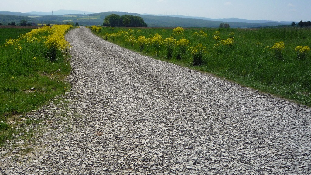
34.8 km – Feldweg Asphalt/Betonweg/Gravel/Radweg (including 15 Gravel sektors)
9km Public Strasse (including 0.8km Kopfsteinpflaster)
2 principal climbs and 571 metres of elevation.
More fotos: https://veloklubhaus.com/go-gravel-hoher-hagen-gaus-tour-in-go-gallery/
Strava: https://www.strava.com/activities/11394329354
Garmin: https://connect.garmin.com/modern/activity/15358041149
Komoot: https://www.komoot.com/tour/1576520840

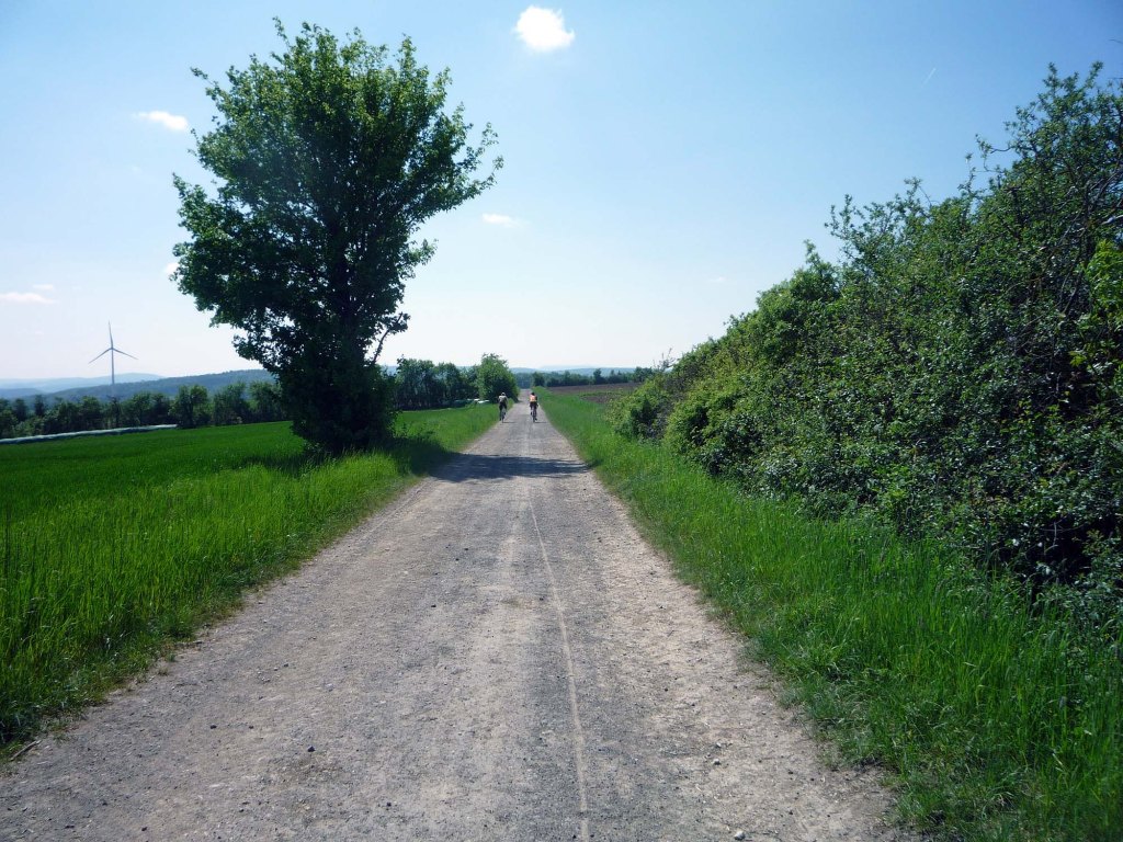
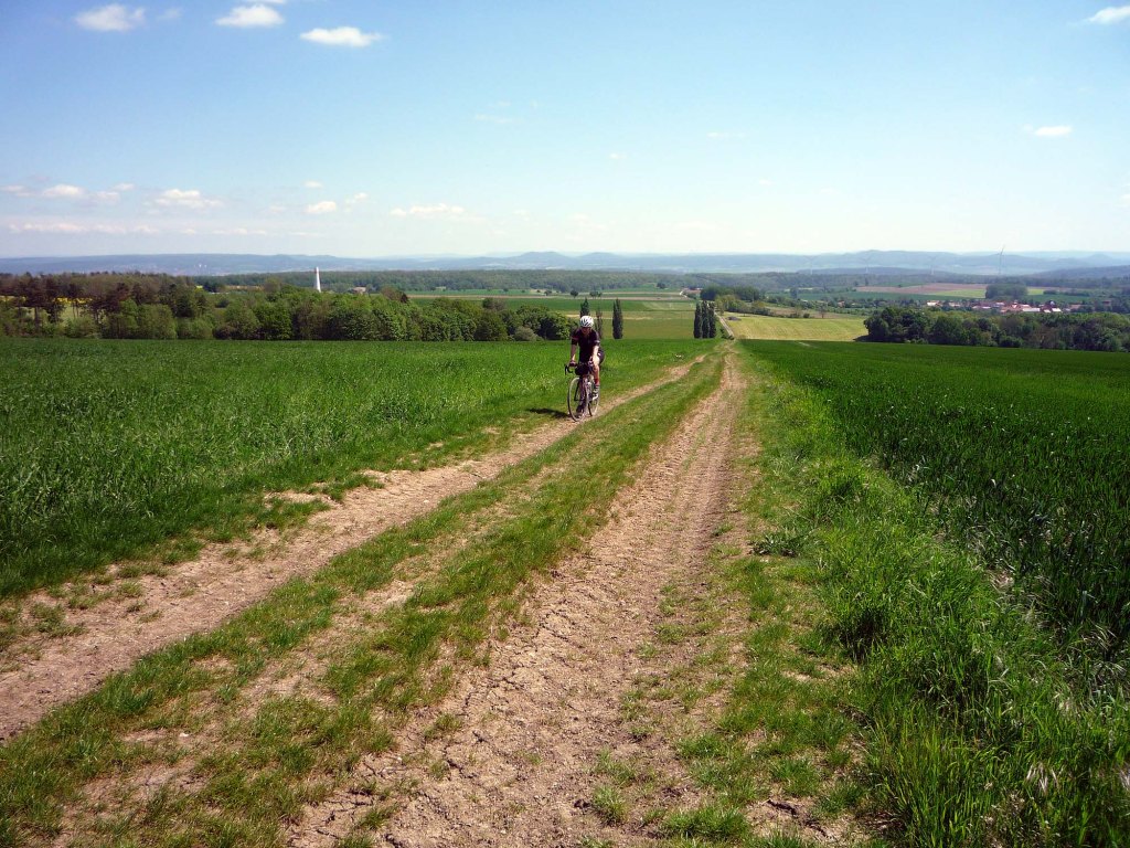
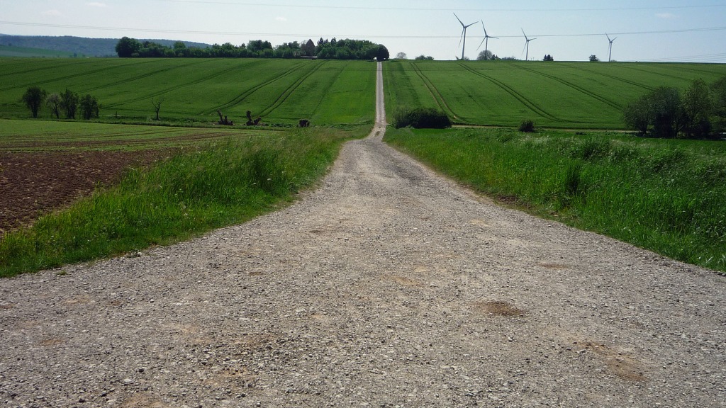
An incomplete wind turbine, the locals fought against them and succeeded but now in changed circumstances their mindset will be challenged further. The Hoher Hagen is left of picture.
Gravel/Cobble categories (this is purely subjective & made up by us)
We have graded the gravel 1 to 5 with 5 being the roughest (there is also an Hors Cat for very extreme).
Cat 1 – mostly hard packed and rideable on almost all bikes.
Cat 2 – often hard packed, a little rougher, potholes and challenging.
Cat 3 – loose surface, more ruts & potholes, gradient changes, bigger stones with greater caution required. (may include downhill or a turn)
Cat 4 – very rough, loose with larger stones and deep ruts/potholes.
Cat 5 – as 4 but may also be downhill, maybe tight turns or with single track and ruts.
HC – Mind bogglingly hard.
Please bear in mind that roads may at times be closed because of farm or forestry workings, please be considerate to all.
Many smooth asphalt or concrete field roads can be heavily compromised by detritous.

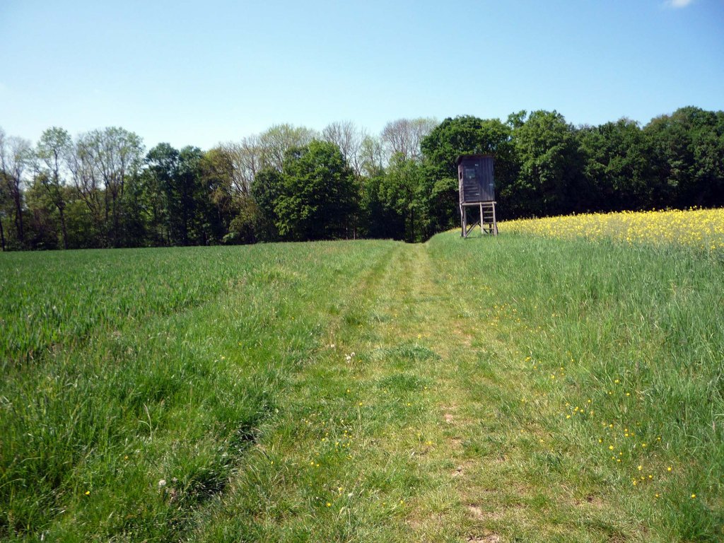
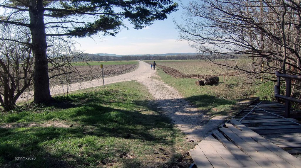
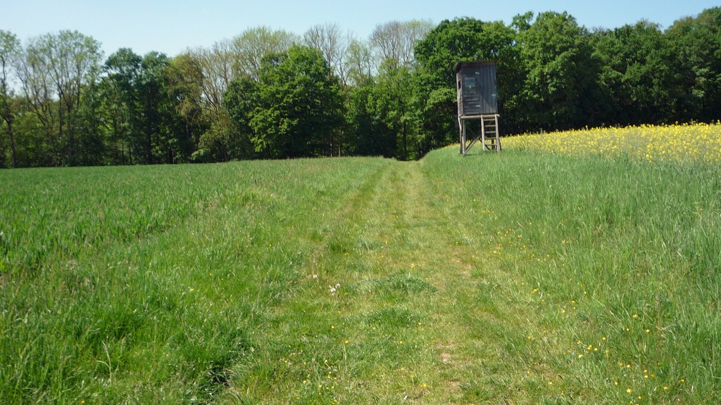
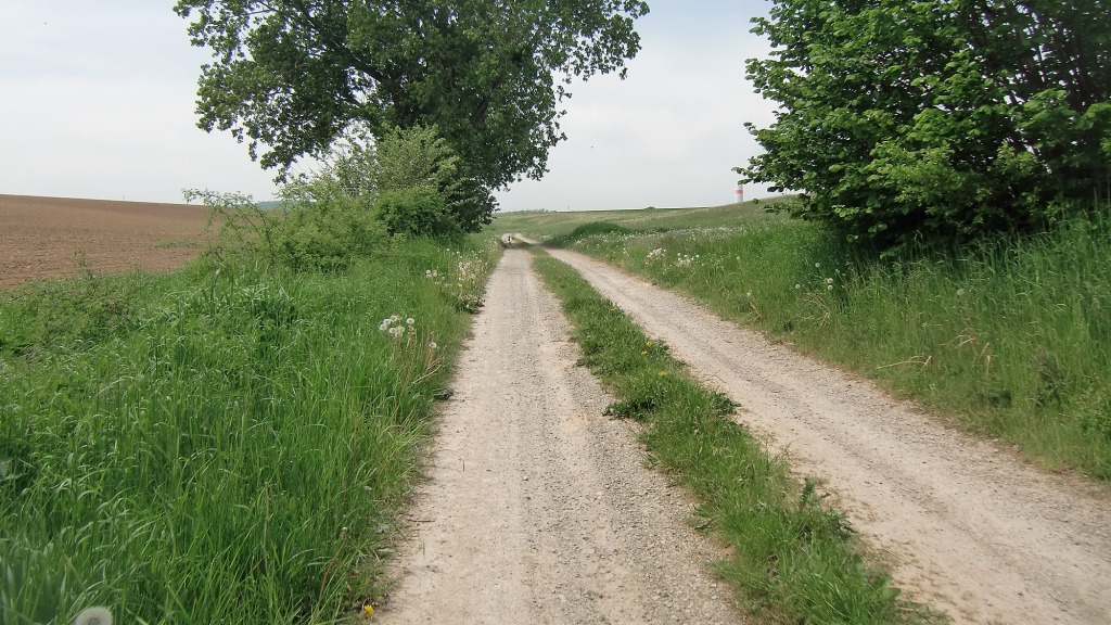
The Hoher Hagen awaits
Stages
The tour is divided into stages and stated are the types of road sections you will ride per stage.
This is not a race or any type of competition.
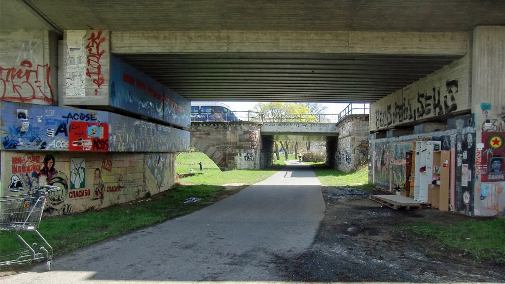
Stage 1 – Velodrome/Rosdorf


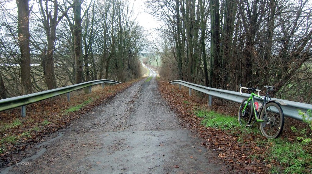
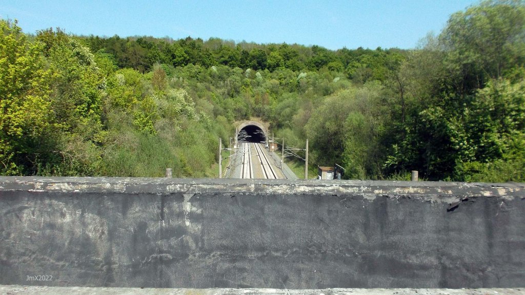
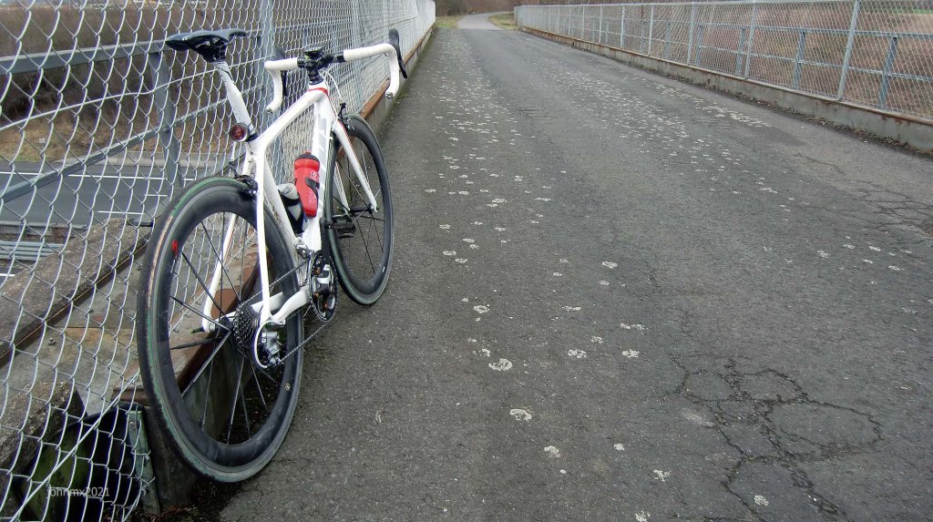
Ride Info: The bridge features big holes!
SECTIONS – Betonweg, 4 Gravel (Cat 1, 0.9km – Cat 2, 0.6km – Cat 3, 0.3km – Cat 2, 0.7km)
Stage 2 – Rosdorf/Wartberg
SECTIONS – Feldweg Asphalt/Betonweg/Radweg/Straße
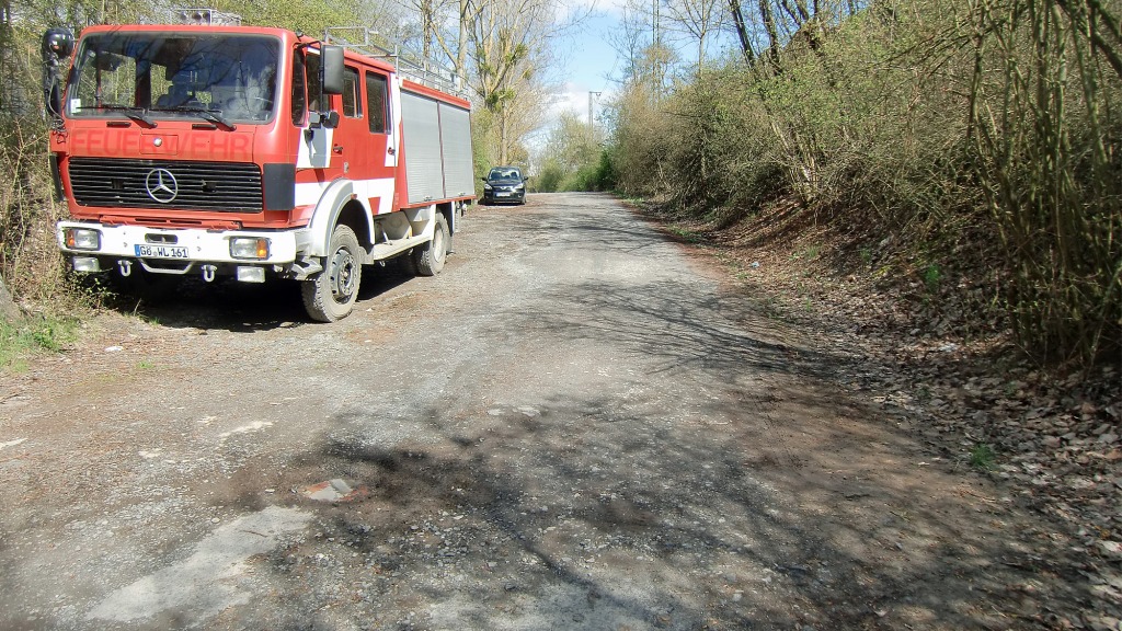
Stage 3 – Wartberg/Mengershausen/Autobahn

SECTIONS – Feldweg Asphalt/Betonweg, 2 Gravel (Cat 2, 1.28km – Cat 2, 0.6km)/Radweg/Straße
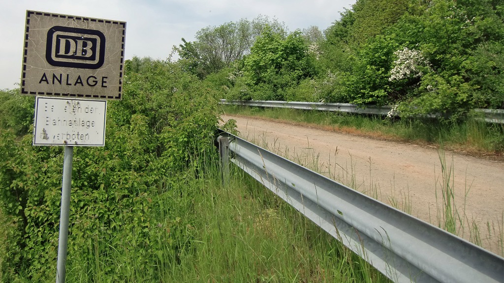
Stage 4 – Autobahn/Volkeroder/Railway Anlage


Ride info: We climb to above Volkerode, peaking at 313 metres.
After Volkerode we travel atop the ridge and then we descend into the tree line.
We later rest above a Deutsche Bahn Anlage, a place where emergency services etc. can enter the high speed train line if required (the terrible accident at Eschede in 1998 happened 100km plus north of this spot).
SECTIONS – Feldweg Asphalt/Betonweg/1 Gravel (Cat 2/3, 6.29km)/Straße
Stage 5 – Railway Anlage/Jühnde-Oershausen Road
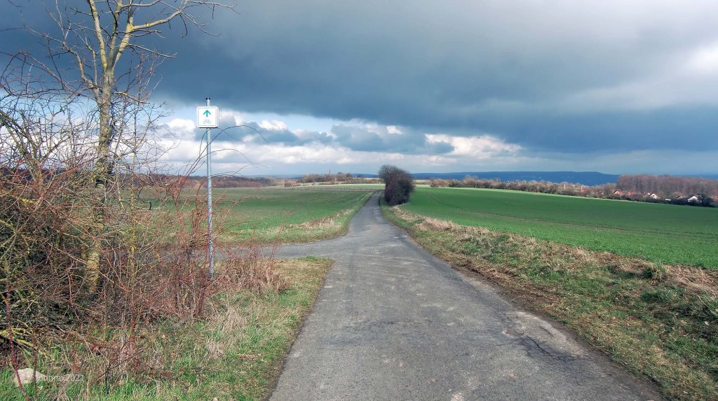
Ride Info: The summit and the Gauß Turm appear more strongly on the skyline as we begin the long ascent toward the Hoher Hagan reaching 481 metres and peaking at 10% gradient over 5.8km.
The Jühnde-Oershausen main road can be busy with fast moving traffic.
SECTIONS – 1 Gravel (Cat 2, 1.6km)
Stage 6 – Jühnde-Oershausen Road/Hoher Hagan (via windmill stumps)


Ride Info: This is where the gradient and terrain bite! You go up along rough gravel/grass tracks. The final stretch of gravel is made up of large stones and it is a bit bump, bump, bump and then rather than climb up to the top of the mountain off road we take the lovely serpentine asphalt Straße.
SECTIONS – 2 Gravel (Cat 2, 1.5km – Cat 3, 2.1km)/Straße
Hoher Hagan

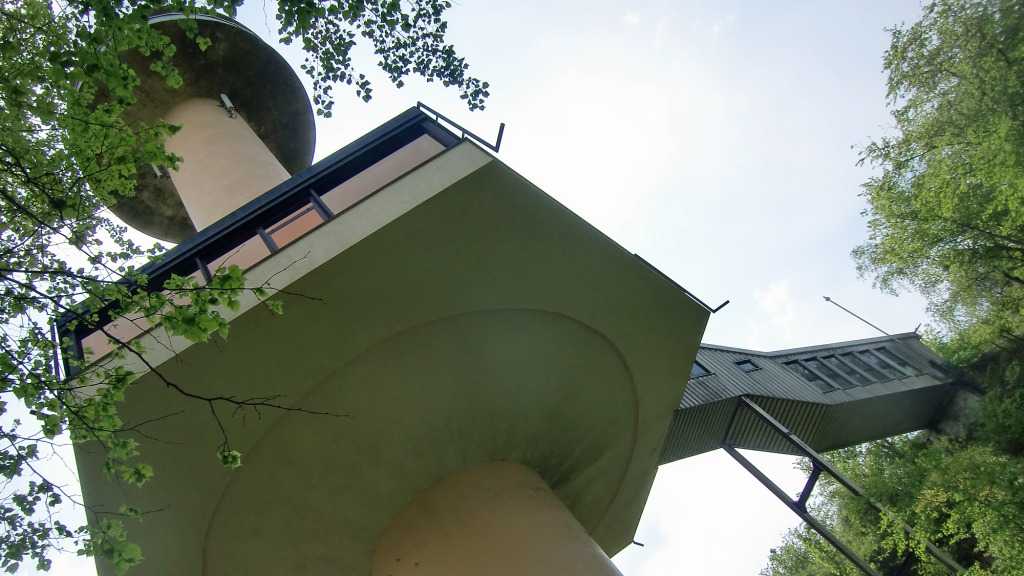

The mountain is 492 metres high plus you can add 51 metres if you climb to the top of the Gauß Turm (the lift is closed and so is the staircase).
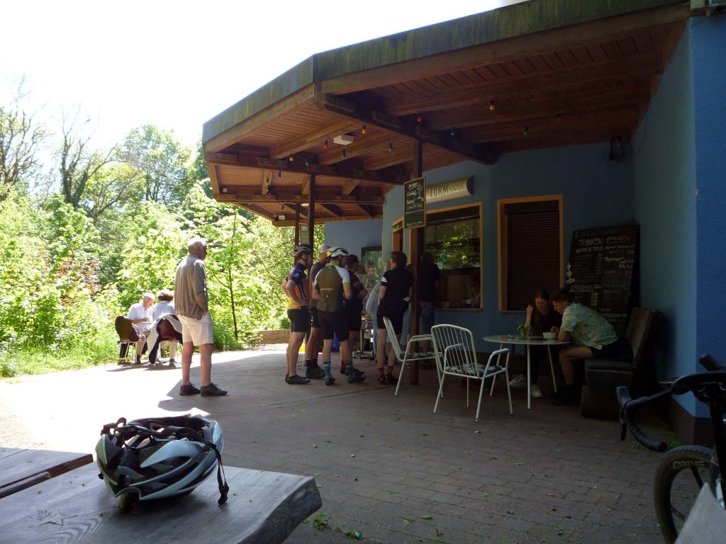
A kiosk is open on certain dates – https://gaussturmkiosk.jimdosite.com/ or https://www.instagram.com/gaussturmkiosk/
Stage 7 – Hoher Hagan/Dransfeld/Dransfelder Rampe

Ride Info: We could descend from the Hoher Hagen upon gravel roads but just for the pure fun of it we take the asphalt route down the Zum Hoher Hagen to Dransfeld. This is the principal ascent on the Tour D´Energie mass participation ride route. Looking across the town I could see the crash site of Lancaster aircraft JB320 which was shot down here with all lost-on board (1943).
When we reach ´civilisation´ at Dransfeld we thread our way through the houses via Gaußstraße, Gerhardt Hauptmanstraße, Heinrich Soureystraße and Asternweg to find gravel.
SECTIONS – Feldweg Asphalt/Betonweg/1 Gravel (Cat 3, 1.0km)/Radweg/Straße
Stage 8 – Dransfelder Rampe/Leine River
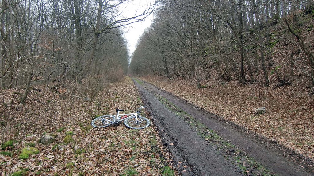


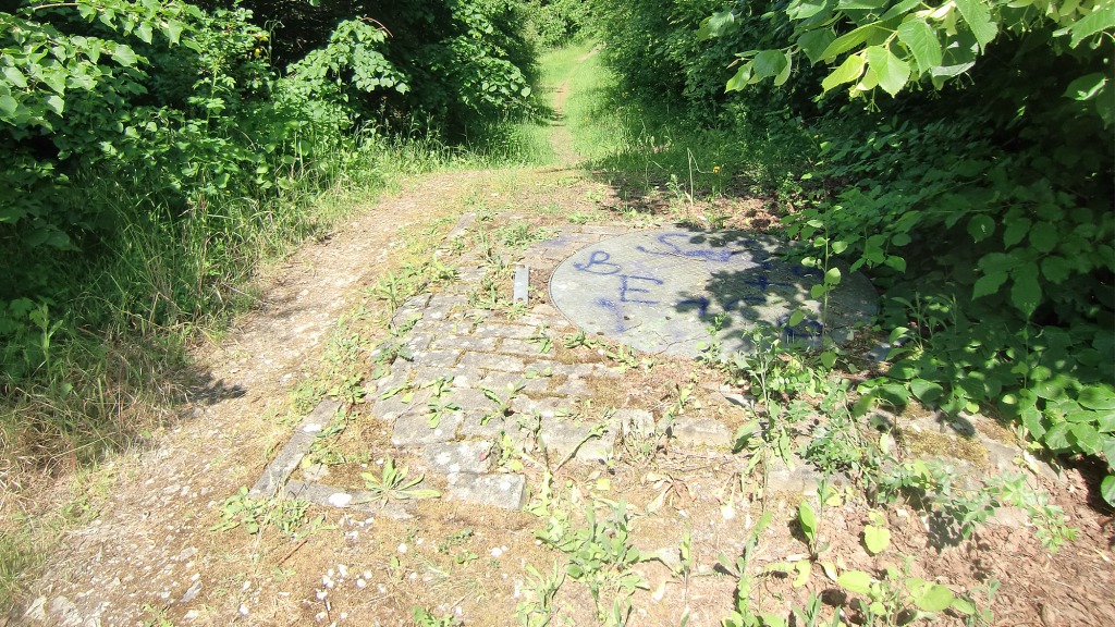

Ride Info: The Dransfelder Rampe, is an abandoned railway built like a serpent to allow trains to gain height out of Göttingen travelling to Kassel. We go down the gradual gradient and be watchful of other users.
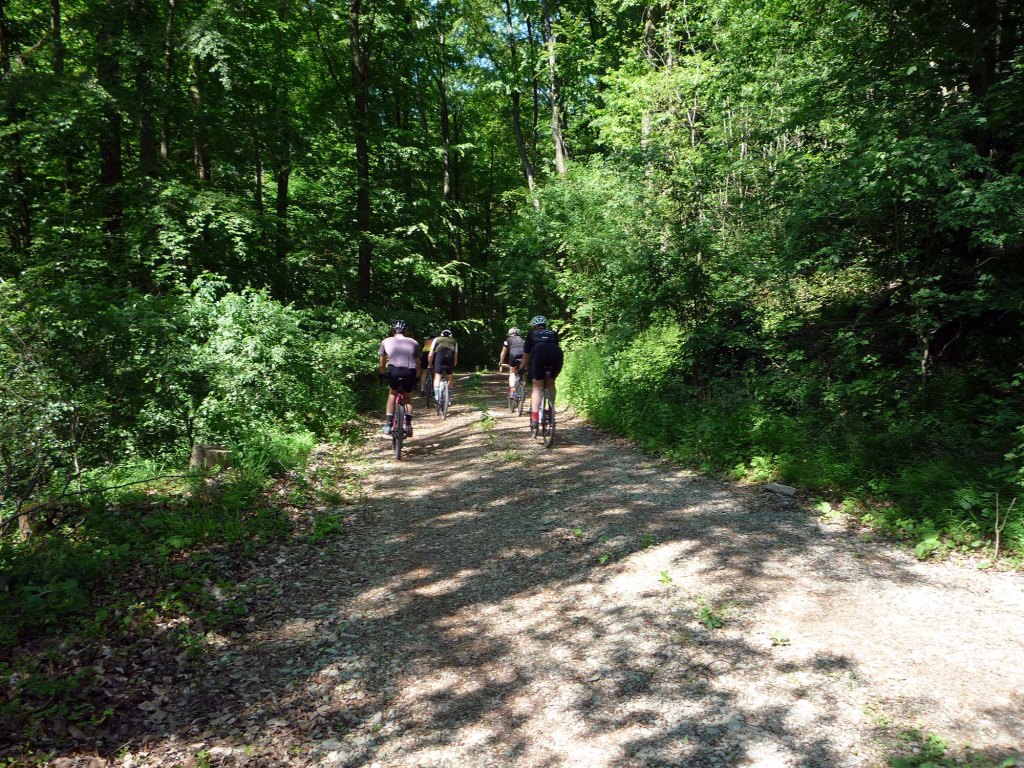
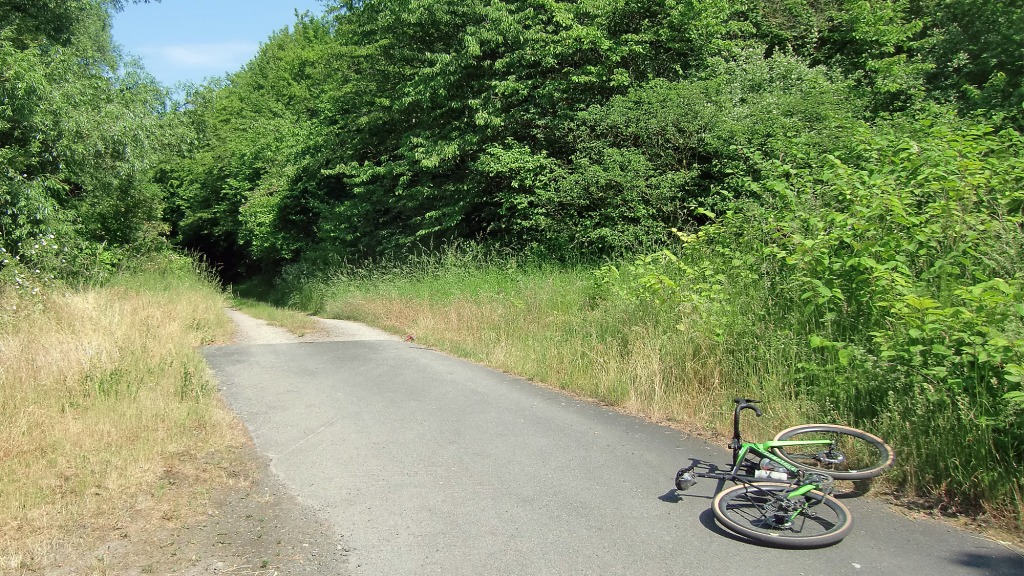
Later near Gö in Grone we reject the asphalt cyclepath and find a more gnarly route which follows the alte bahn more closely.
SECTIONS – Feldweg Asphalt/3 Gravel (Cat 2, 6.8km – Cat 3, 1.1km – Cat 2, 0.2km)/Radweg
Stage 9 – Leine River/Nikolaistraße (Innerstadt)

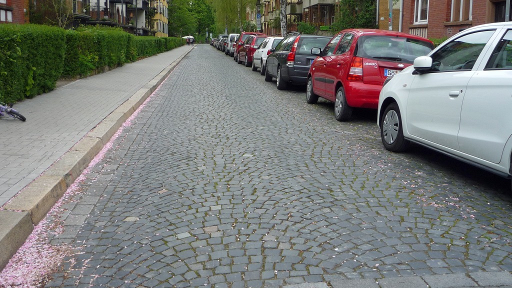
SECTIONS – 1 Gravel (Cat 1, 0.5km)/2 Kopfsteinpflaster (Cat 2, 0.8m)/Radweg
Nikolaistraße @ 43.88km

Gauß Hannover Land Survey.


Attention/Take Note
The Highest Heights is a suggested route for a bike tour and not a race or competition. Should you decide to follow our tour description or a GPS of the route described, you do so at your own risk.
You are responsible for cycling as you think you can, according to your ability and fitness level.
Die Highest Heights ist ein Routenvorschlag für eine Fahradtour und kein Rennen oder Wettkampf. Solltest Du Dich dafür entscheiden, unserer Tourbeschreibung oder einem GPS der beschriebenen Route zu folgen, tust Du dies auf eigene Gefahr.
Du bist selbst dafür verantwortlich, entsprechend Deinem Können und Fitness-Niveau, so zu radeln, wie Du es Dir zutraust.
Contact – https://veloklubhaus.com/contact/

Leave a comment