
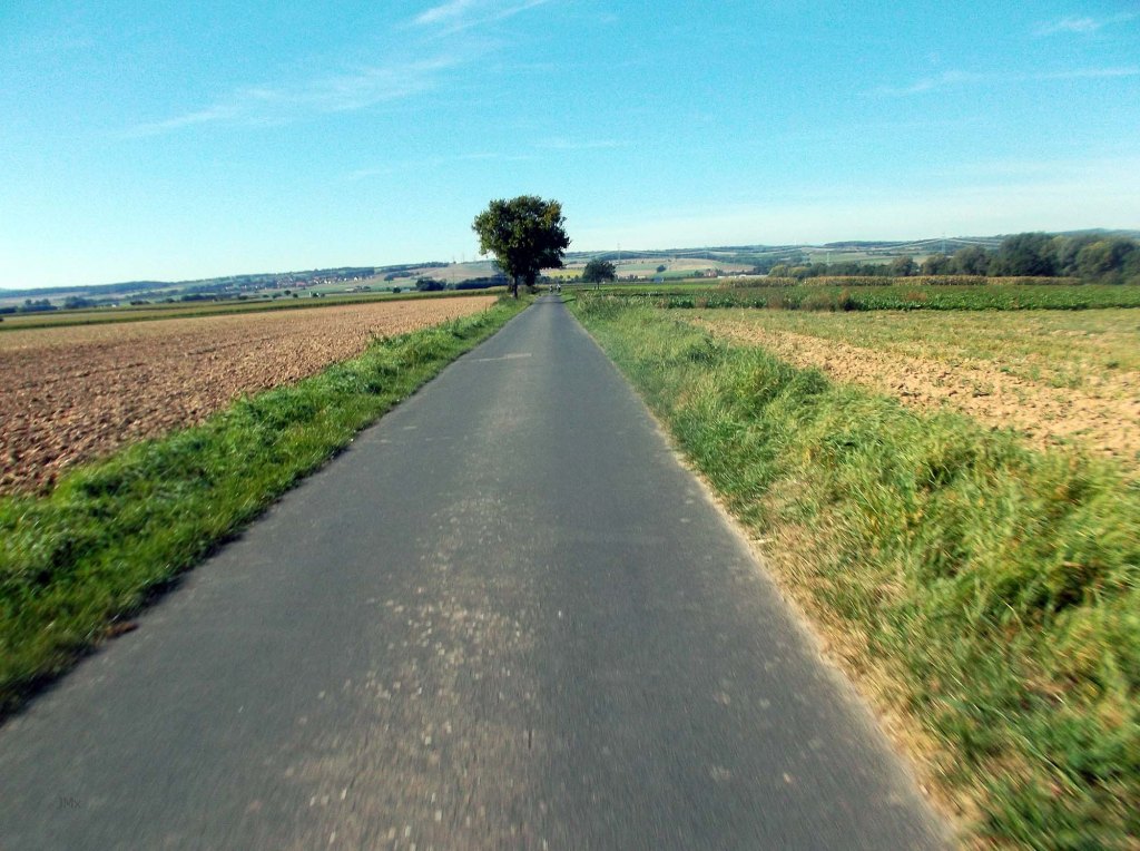
Predominantly a road ride this tour features four of my favorite asphalt descents in the Göttingen area and because I’m addicted to Ribinou, Chemin de Vignes or gravel there are five sectors of gravel plus one cobbled stretch to help link the ride together.
I have included as much asphalt Feldweg and Betonweg as possible. Three of the four fabulous descents are on smooth as silk road open to motor vehicles and of course it is best to be safe rather than sorry because of the unpredictability of other road users, especially cars.
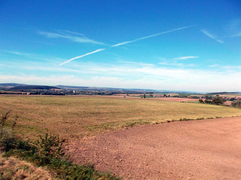
Of course to enjoy the ride down you must first go UP!

Ride Total: 71.4km
Straße: 41.8km
Feldweg: 29.6km (including gravel and cobbles)
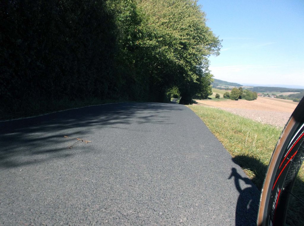
4 Descents (all asphalt)
Jühnde to Marengarten – 5.8km peaking at 5% (even better if ridden from the Hoher Hagen)
Autobahn to Sieboldshausen (Feldweg) – 0.9km, 9%
Ludolfhausen to Groß Schneen – 3.9km, 6.2%
Gleichen Hills to Benniehausen – 4.7km, 10%
Total: 15.3km
Gravel (Cat 1 being less rough)
0.5km Cat 1 Jahn Stadium
0.9km Cat 1 Flüte, Leine
0.3km Cat 2 Pfingstangergraben, Sieboldshausen
0.2km Cat 2 Sieboldhausen/Lemshausen
1.1km Cat 2 Chapel Wittmarshof/Steinmuhle
Total Gravel: 3km
I rode my very much underused, but serviced road bike opting for a tire choice that gave me a sense of flow on the asphalt and stability on the gravel or Feldweg/Betonweg (Panaracer Gravel King 28/26). I slowed down on the gnarly stuff protecting tyres and myself.
GPS
Garmin Connect: https://connect.garmin.com/modern/activity/12110567759
Strava: https://www.strava.com/activities/9924304679
Komoot: https://www.komoot.com/tour/1325154793
Elevation: 724 metres

Attention/Take Note
The Gö Gravel Rides are suggested routes for a bike tour and not a race or competition. Should you decide to follow our tour description or a GPS of the route described, you do so at your own risk.
You are responsible for cycling as you think you can, according to your ability and fitness level.
Die Gö Gravel Rides sind vorgeschlagene Strecken für eine Fahrradtour und kein Rennen oder Wettbewerb. Sollten Sie sich entscheiden, unserer Tourenbeschreibung oder einem GPS der beschriebenen Route zu folgen, tun Sie dies auf eigene Gefahr.
Sie sind für das Radfahren verantwortlich, wie Sie es für möglich halten, entsprechend Ihren Fähigkeiten und Ihrem Fitnessniveau.


Leave a comment