
DE Home – ENG Home – Route – Gallery – Gutingi Rides
Suggested Route (English Only)
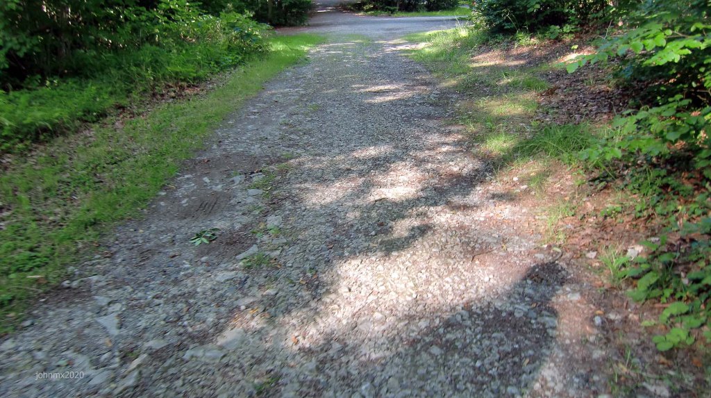
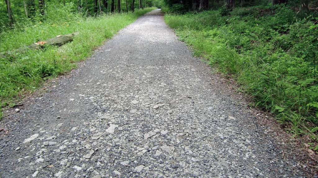
This route is based upon the Hainberg overlooking the German city of Göttingen and we have sought out the most notable stone roads and Kopfsteinpflaster. The ride includes hills, descents, gravel trails, pave, Panzerweg, Befestigter Waldweg and some use of public roads.
Riding a circuit is useful in so many ways: you can decide how many times you circulate depending upon available time or how your body feels, it can keep you close to home especially good if the weather turns really nasty and you can hone your riding skills by finding the perfect line etc.
Sign
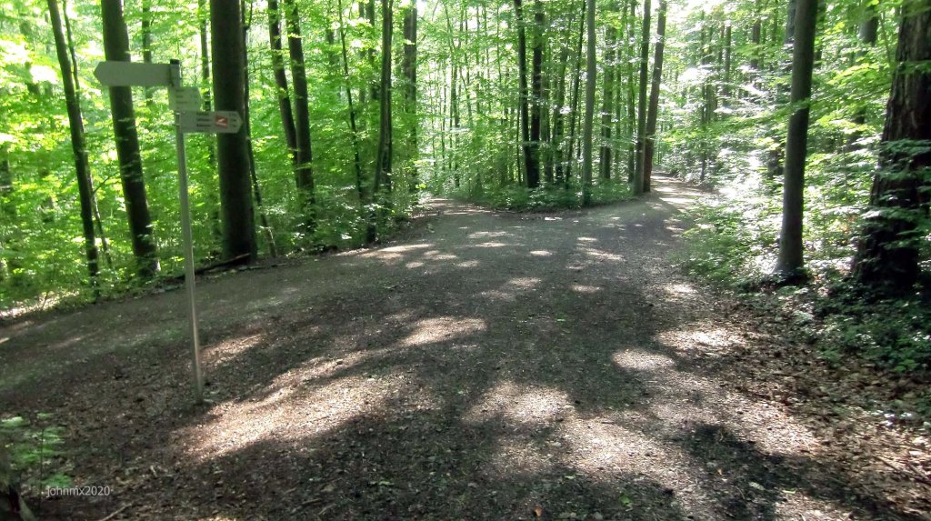
The route is not signed, we offer a GPS, but you can choose to follow your own direction.
GPS
2 circuits 31km
Garmin Connect: https://connect.garmin.com/modern/activity/5409343130
Strava: https://www.strava.com/activities/3936194131
Komoot: https://www.komoot.com/tour/243290348
The GPS Ride Webpage: Stein – August 19 2020 Road/Gravel Ride (2x Circuits)
Want to ride it?
This is an informal ride and a suggested route only. If you would like to ride it with us do make contact. Or of course you may ride it at your own time and if you do, it would be great to hear from you – https://veloklubhaus.com/contact/.

The Suggested Route
Gutingi Stein Sectors (Approx.)
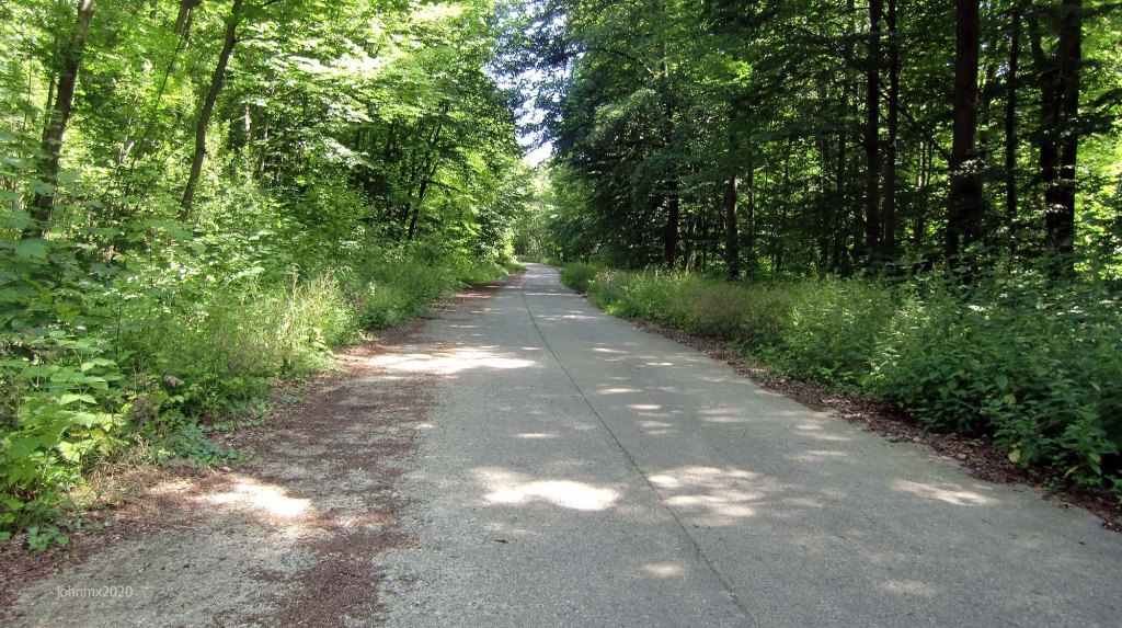
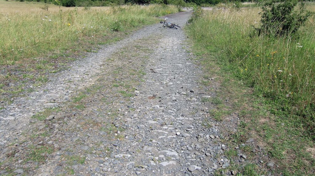
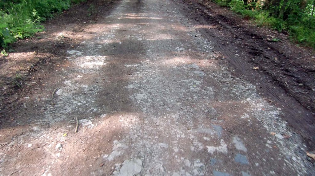
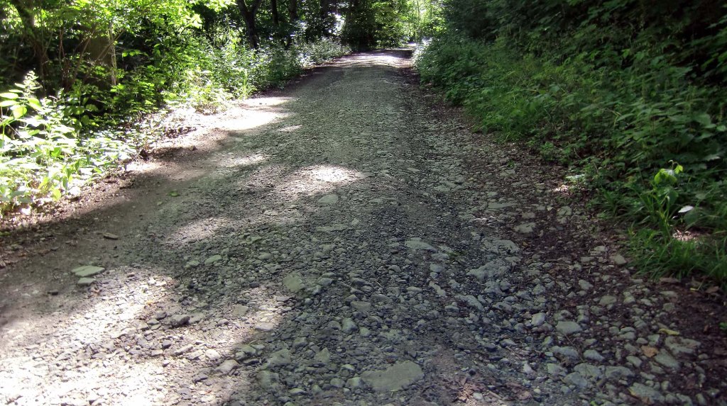
Befestigter Waldweg inc. Gravel, Panzerweg and Stein: 10.9km
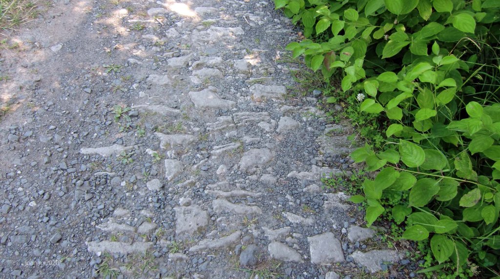
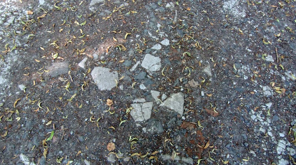
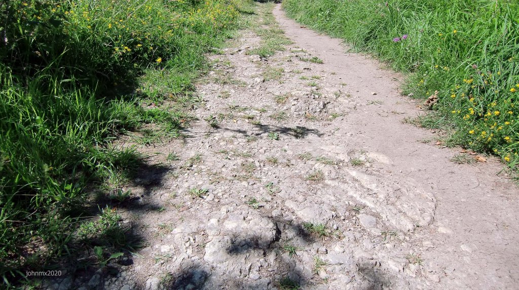
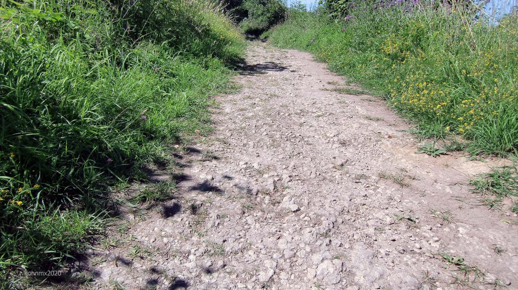
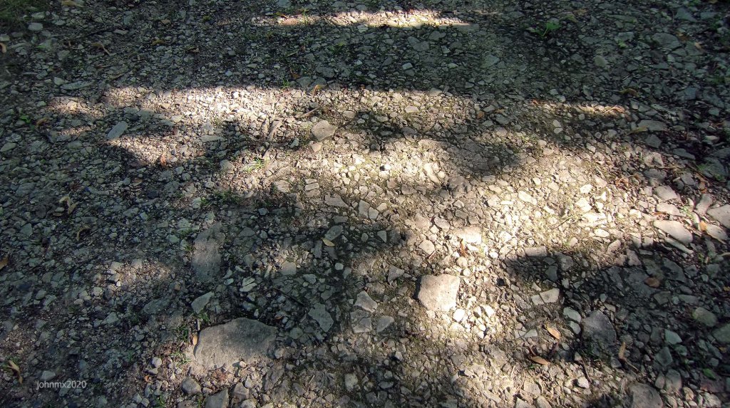
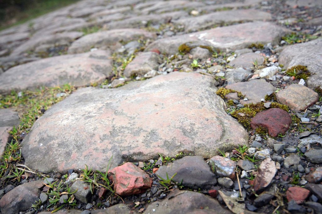
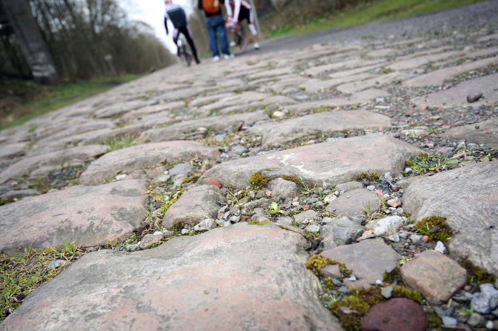
STEIN! and STEIN!!: 3.1km (Gnarly stone)
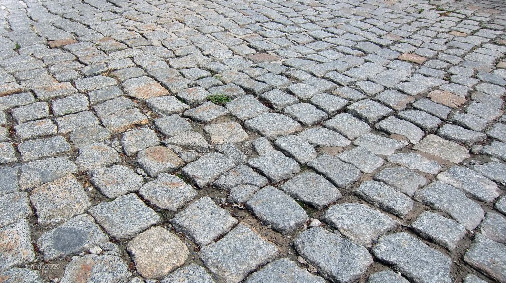
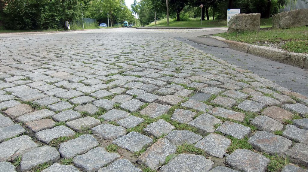
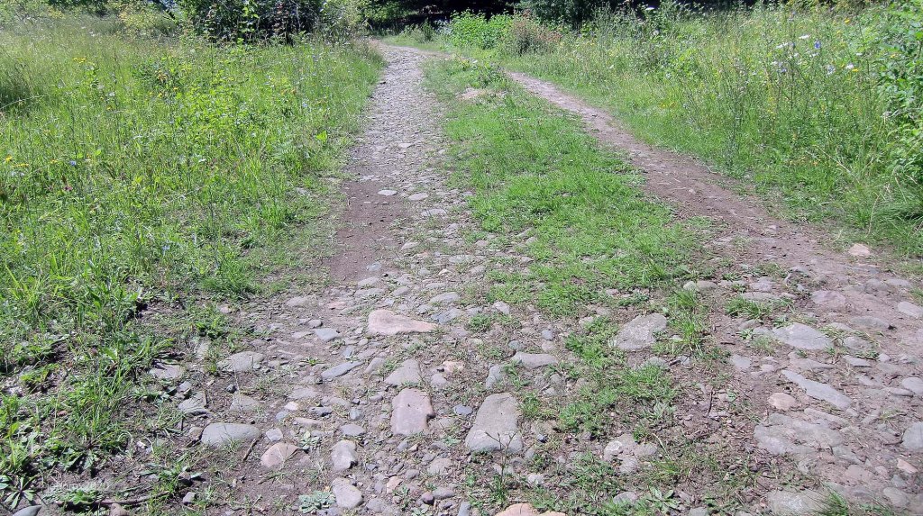
Kopfsteinpflaster: 1.1km. (Public Road)
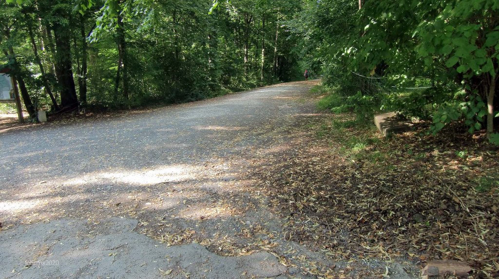
Asphalt: 3.4km. (Public Roads)
Total Distance: 15.3 (1 Circuit – 2 Circuits 31km)
Emile Nolde Weg/Befestigter Waldweg @ 0 – 0 km

Sector 1, Emile Nolde Weg/Stein!/Befestigter Waldweg: @0.0km – 0.7km
Climb: Max 10.6% (0. 5km Asphalt and a 0.2km Befestigter Waldweg sting in the tail)


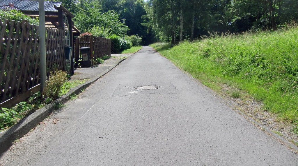

Von Ossietzky Straße Göttingen @0.7km
Cross the road safely and there is a cafe on the corner of Alfred-Delp Weg, plus a Tegut/Aldi Supermarkets opposite.
Sector 2a, Zieten Terrace (Bertha von Suttner Straße): @1.0km – 2.1km (A+B) (Kopfsteinpflaster climb)
The Zieten Barracks and Kerstlingeröderfeld, was once a huge military training area. Both were part of a strategically important forward fighting NATO base post World War Two until the 1990’s.
Climb: Max 9.1%


Sector 2b, Zieten Terrace

Fresh cobbles take you out of the rehabbed and new build housing
Sector 3, Panzerweg: @2.6km – 4.2km (Gradual climb on rough concrete)
Climb: Max 12.7%


Kerstlingeröderfeld @4.1km
Sector 4, STEIN!/Befestigter Waldweg: @4.2km – 4.6km


Sector 5, Panzerweg: @4.6km – 4.9km

Sector 6, STEIN!!: @4.9km – 5.2km


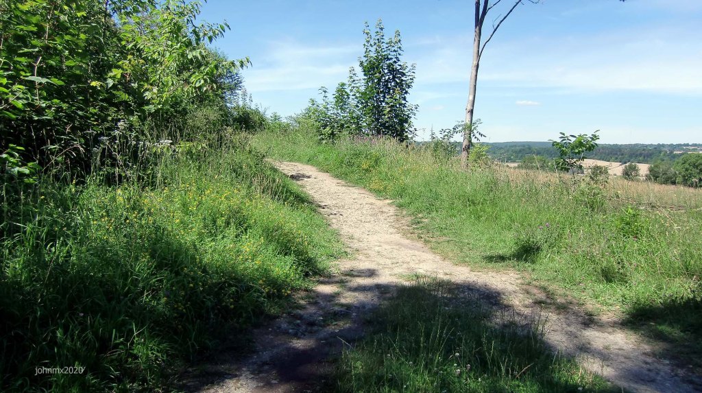
Sector 7, Gravel: @5.2km – 5.7km

Sector 8a, Panzerweg: @5.7km – 7.1km (Sector 3 end in reverse)

Sector 8b, Broken Asphalt/Gravel
Descent 5%Max

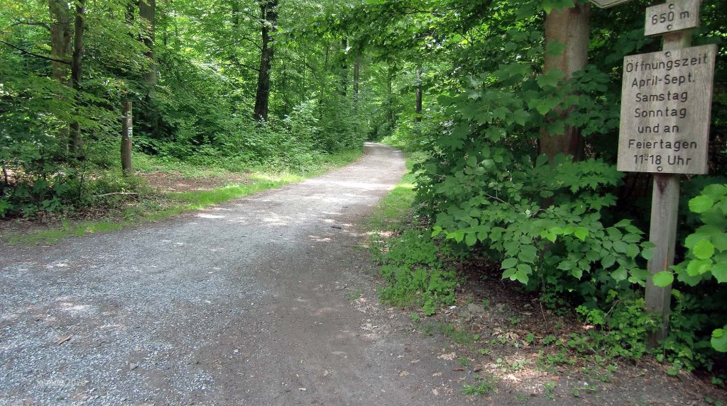
The Kehr @7.3km
There are wild boars at the Kehr to admire and during the summer a sausage and beer kiosk is open, the area is very busy with walkers etc. at that time. (No toilets)
Here and for a few seconds we pop on to what used to be part of the main road into Göttingen and is now a gravel trail, and also doubled up as a race car circuit. Silver Auto Unions and Mercedes racing cars featured here in the 1920´s. The long tarmac descent of Bismarck Strasse was also a part of the circuit and it remains a public road open to all traffic.
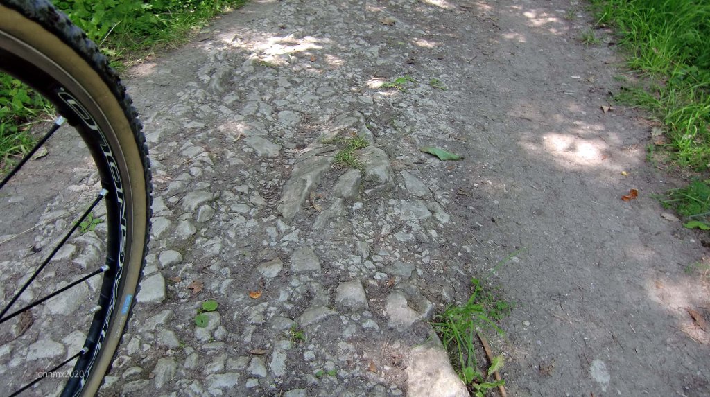
Sector 9, STEIN!!/Gravel: @7.3km – 7.7km (Down this excellent section of stones)
Descent Max 11%


Sector 10a, Gravel/Befestigter Waldweg: @7.7km – 9.1km (A+B)

Sector 10b, Gravel/Befestigter Waldweg

Sector 11, STEIN!!: @9.1km – 9.7km


Sector 12a, Gravel/Befestigter Waldweg/Stein: @9.7km – 10.7km (A+B+C)
Descent Max 11.1% (It hits 23% on the asphalt into Herberhausen)

Sector 12b, Gravel

Sector 12c, Gravel

Herberhausen @11.2km (Here are pubs and a cool general store with a cafe – http://www.dorfladen-herberhausen.de/)
The descent into Herberhausen hits 23%.


If you go down Im Beeke to the main road you will find on the corner the excellent village shop and cafe.
Sector 13, Broken Asphalt/Gravel/Stein/Befestigter Waldweg: @11.6km – 12.6km
Climb: Max 13.2%


Sector 14, STEIN!!: @12.6km – 13.0km (Sector 9 in reverse)
Climb: Max 11%

The Kehr @13.0km (Second visit)
Sector 15a, STEIN!! /Befestigter Waldweg: @13.1km – 14.1km (A+B) (Bismarck Turm/Observatories Loop)


Observatory @13.3km
Göttingen University is a member of the astrophysics community Worldwide and hosts a Space Research Centre.
The city possesses three observatories, the first in the City was built with money from King George the Second in 1802 and two more are atop the Hainberg. At the Hainberg the oldest (green roof) was built in 1929 (which I think can’t turn after being strafed by the British in WW2) and the newer building was started by the Nazi’s to explore the effects of sunspot activity on radio waves, but was only completed after the fighting stopped.

Built during the 1940´s
Bismarck Turm @13.6km (Turn away before)
Almost all German cities feature a Bismarck Turm; the Chancellor unified Germany in 1871 and as a student in Göttingen he was forced to sleep outside the city walls at night because of his disruptive behaviour.

Sector 15b, STEIN! (U-turn before the Tower)


Sector 16a, Befestigter Waldweg/Stein: @14.1km -15.0km (A+B)
Descent Max 10.2% – 16b, 18.6% (At bottom approaching road)


Sector 16b, Gravel/Befestigter Waldweg/Stein (Sharp left turn and adescent across Bismarck Strasse)
Descent Max 18.6%


Sector 17, Befestigter Waldweg/Stein: @15.1km – 15.3km (Cross Bismarck Strasse onto gravel and do NOT GO STRAIGHT ON – instead turn right and mind the post)
Descent Max 14.5%


Sector 18a, Befestigter Waldweg/Stein: @15.3km-mmkm (A+B+C) (NOTE OPTION)

Sector 18b, Befestigter Waldweg/Stein
Option: Turn right after bridge and finish at 16km where you started. OR…... ride another circuit? Yes, turn left onto 18c
Another Circuit please!

Take care crossing and watch for other users!
Sector 18c, Befestigter Waldweg/Stein (The sting in the tail of section one)
Climb Max 10.6%

Another Circuit
Von Ossietzky Straße @15.7km (Cafe on the corner of Alfred-Delp Weg, plus a Tegut/Aldi Supermarkets opposite.)
Sectors 19a/b (Sector 2a/b), Zieten Terrace (Kopfsteinpflaster climb)
Sector 20 (Sector 3), Panzerweg: (Gradual climb on rough concrete)
Kerstlingeröderfeld @19.3km
Sector 21 (Sector 4), STEIN!/Befestigter Waldweg
Sector 22 (Sector 5), Panzerweg
Sector 23 (Sector 6), STEIN!!
Sector 24 (Sector 7), Gravel
Sectors 25a/b/c (Sector 8a/b/c), Panzerweg
The Kehr @22.2km
Sector 26 (Sector 9), STEIN!!/Gravel: (Down this excellent section of stones)
Sectors 27a/b (Sector 10a/b), Gravel/Befestigter Waldweg
Sector 28 (Sector 11), STEIN!!
Sectors 29a/b/c) (Sector 12a/b/c), Gravel/Befestigter Waldweg/Stein
Herberhausen @25.7km (Here are pubs and a cool general store with a cafe )
Sector 30 (Sector 13), Broken Asphalt/Gravel/Stein/Befestigter Waldweg
Sector 31 (Sector 14), STEIN!! (Sector 9 in reverse)
The Kehr @28.0km (Second visit)
Sectors 31a/b (Sector 15a/b), STEIN!! /Befestigter Waldweg (Bismarck Turm/Observatories Loop)
Observatory @28.3km
Bismarck Turm @28.6km (Turn away before)
Sector 32a/b (Sector 16a/b), Befestigter Waldweg/Stein
Sector 33 (Sector 17), Befestigter Waldweg/Stein
Sectors 34a/b (Sector 18a/b), Befestigter Waldweg
Option: Turn right after bridge and finish where you started at 30.5km. OR…... ride another circuit? – Turn left onto 18c
Sector 34c (Sector 18c), Befestigter Waldweg
Another Circuit
Von Ossietzky Straße @30.5km (Third time) (Cafe on the corner of Alfred-Delp Weg)
Sectors 35a/b (Sector 2 & 34a/b), Zieten Terrace (Kopfsteinpflaster climb)
ETC.
Paris Roubaix Fantasy
If by now you are living the Paris Roubaix cobble fantasy you can complete the experience by ending your ride at the Göttingen Velodrome. There you simply have to imagine you are in Northern France.

-
- Roubaix

DE Home – ENG Home – Route – Gallery – Gutingi Rides
