
This version of the Gö Feldweg Omloop goes north of Göttingen following the Leine Valley reaching out beyond Bovenden and Nörten-Hardenberg. Whilst we go close to Northeim we turn back before it and our return shadows the journey out but there are differences.
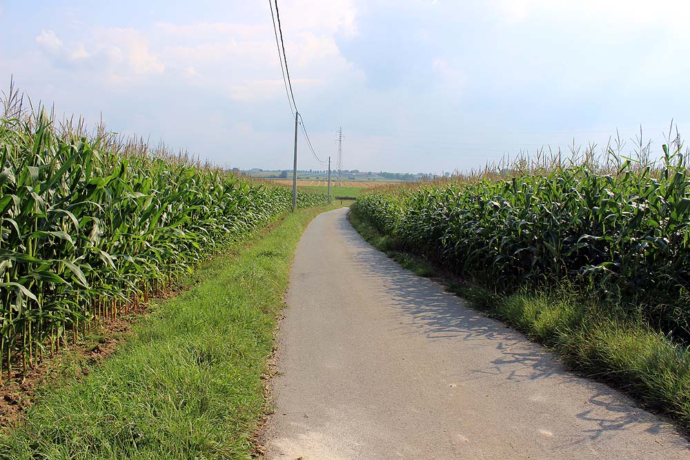
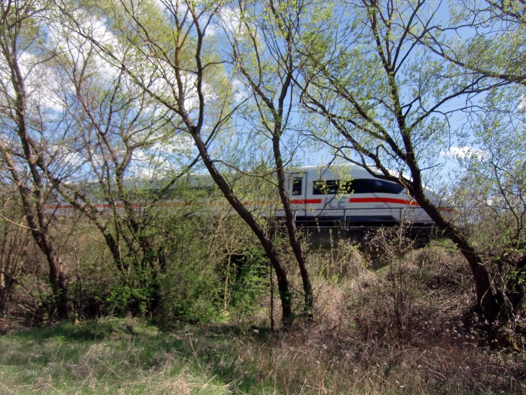
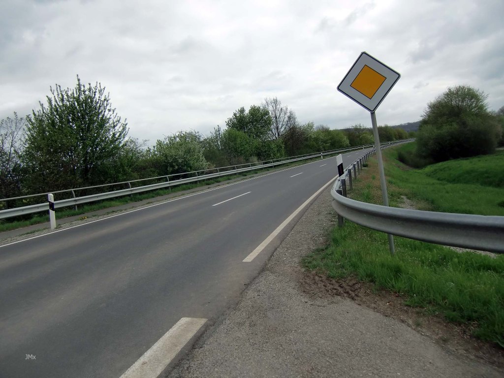
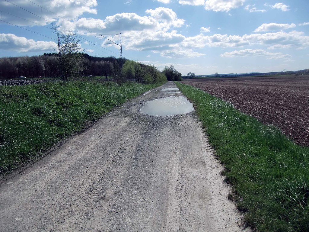
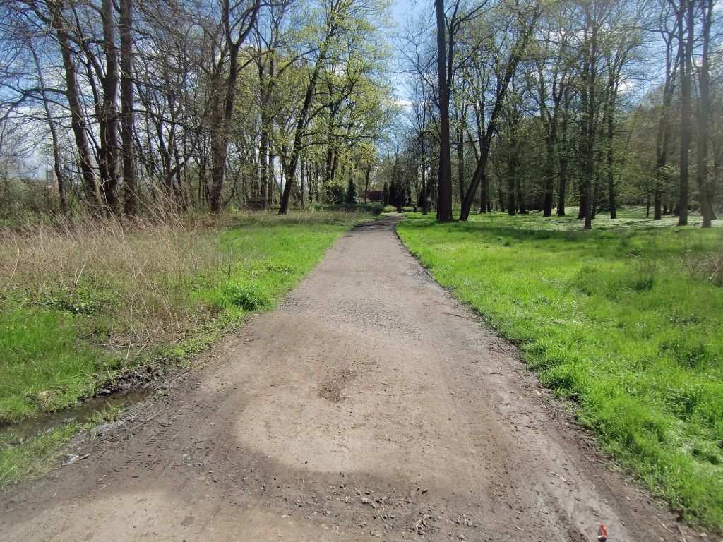
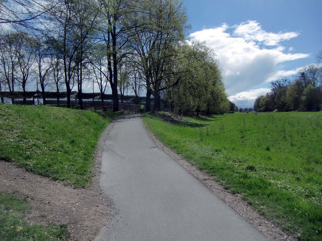
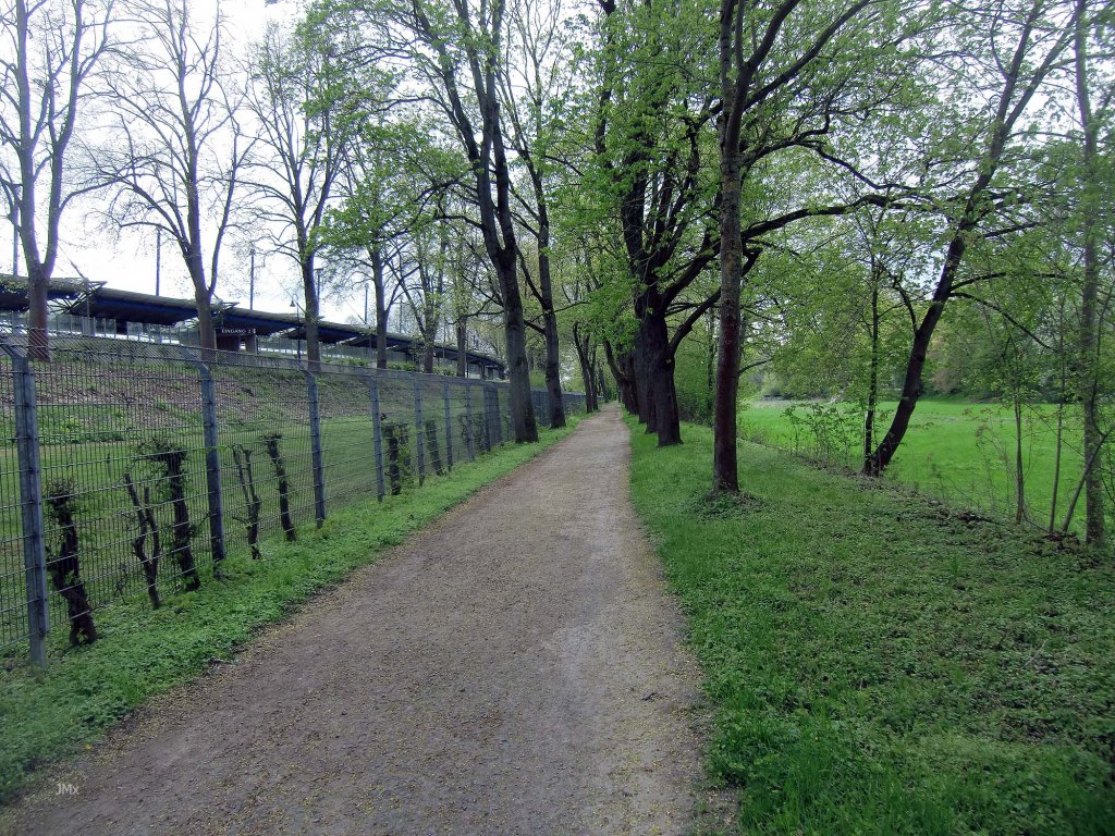
We pedal never far from the Leine River, railway lines or the centuries old trading, postal and military routes. The parcours features mostly asphalt Feldweg and Betonweg with gravel sectors to spice things up. We also ride cyclepaths and a minority of Straße where cars are allowed free access.
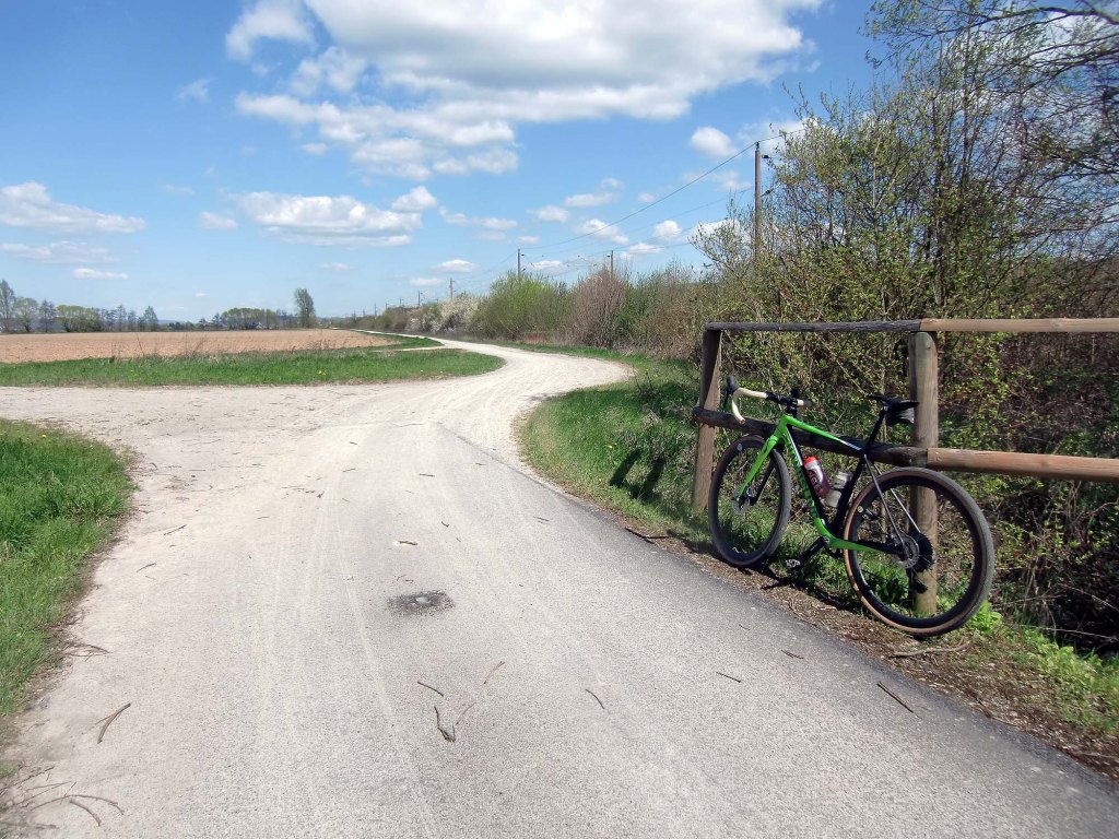
When I first started visiting Gö I would see the Feldweg from the train and I wondered if they were as cool as they looked. They are!
The thin blue line on Komoot and red on Strava.

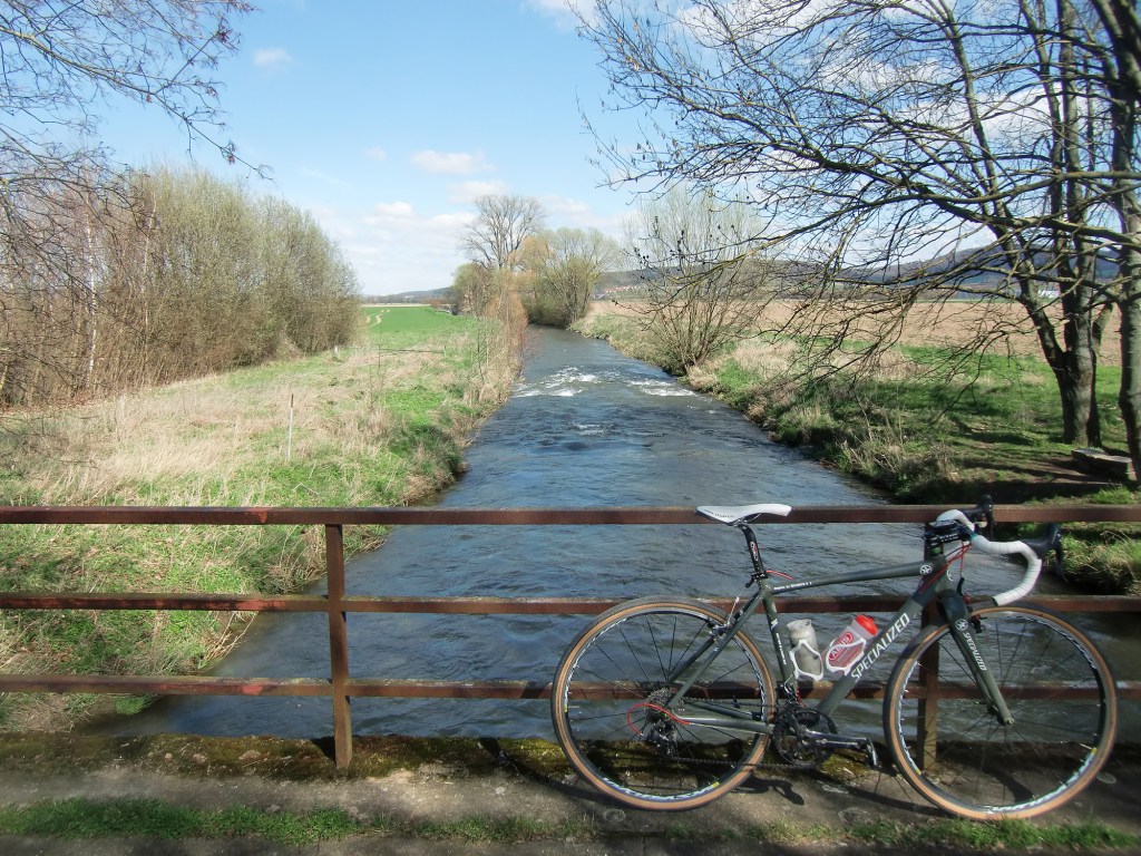
Whoosh – Never far from a train or the Leine River
Fueding Guelphs
In the Leine Valley on this ride we are overlooked by the partially ruined castle at Nörten-Hardenberg and by the white towers of the almost complete Plesse Castle. Also nearer to Gö was the Grone Castle but this was destroyed by the people of the city during the 14thCentury. These monuments help illustrate that the valley here has seen much conflict including feuds involving the House of Guelphs (Not a name made up by Tolkien – plus the 30 Years War, Seven Years War, and World War 2).
Our manifesto outlining the Gö Omloop collection of rides inspired by the Spring Classics can be found at the Gö Feldweg Omloop page. In many ways this tour would also make a good Gö Strade Bianche homage to the Tuscany cycle road race, but the large amount of Betonweg and asphalt Feldweg tips it to be an Omloop (although more gravel could be added).

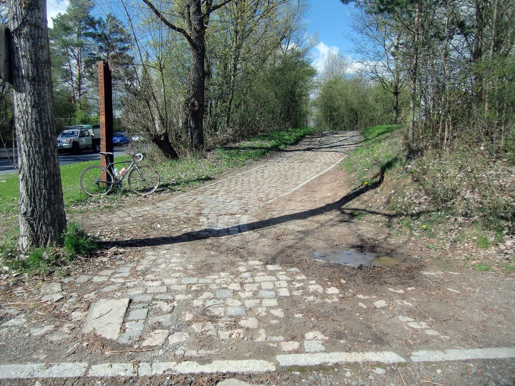
Not quite Paris Roubaix but a nice hint of the Plain of Flanders in Northern France where coal slag heaps feature more than hills
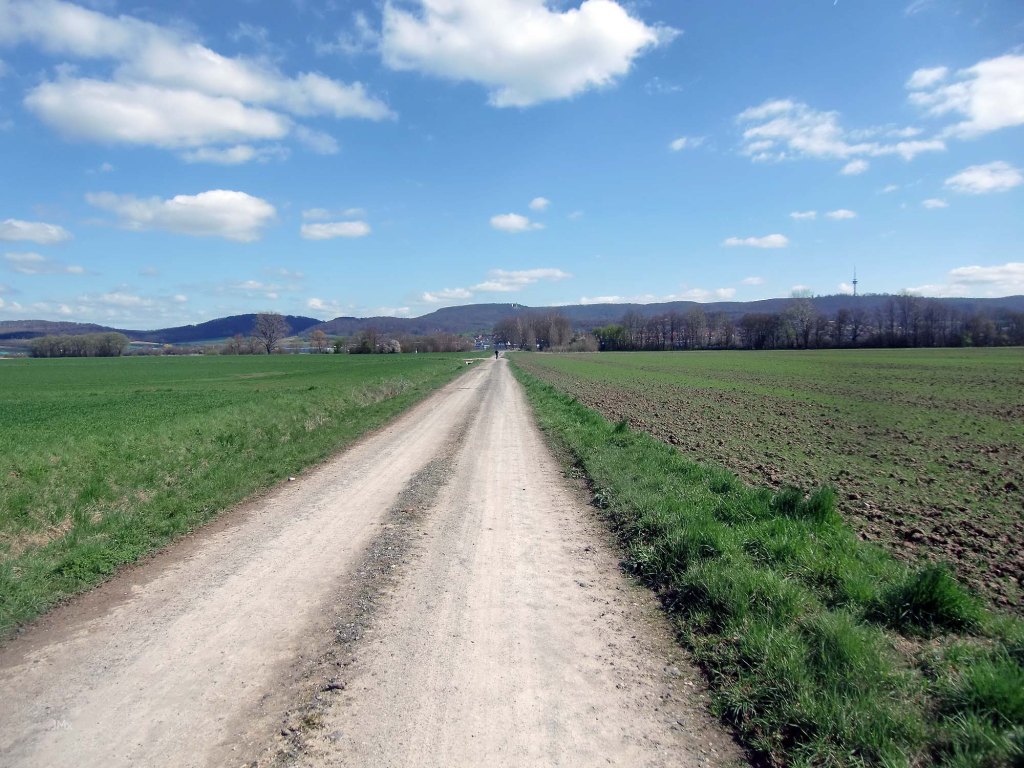
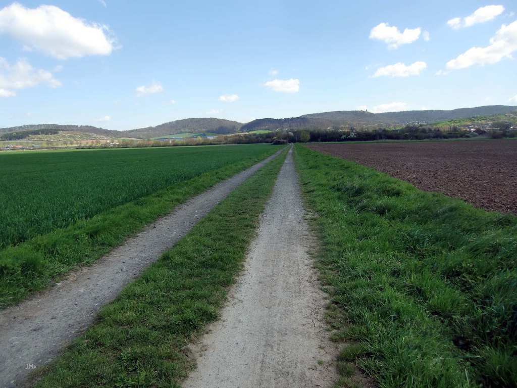
Ancient Roads
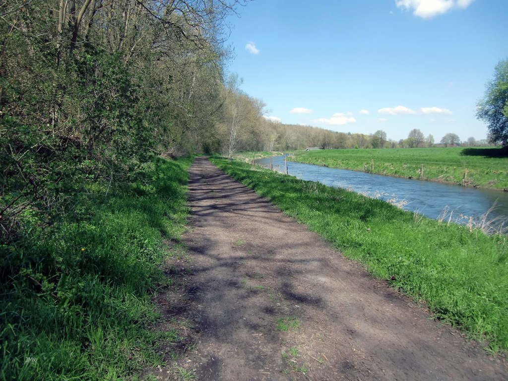
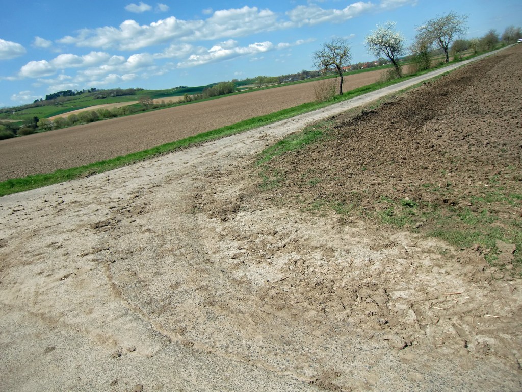
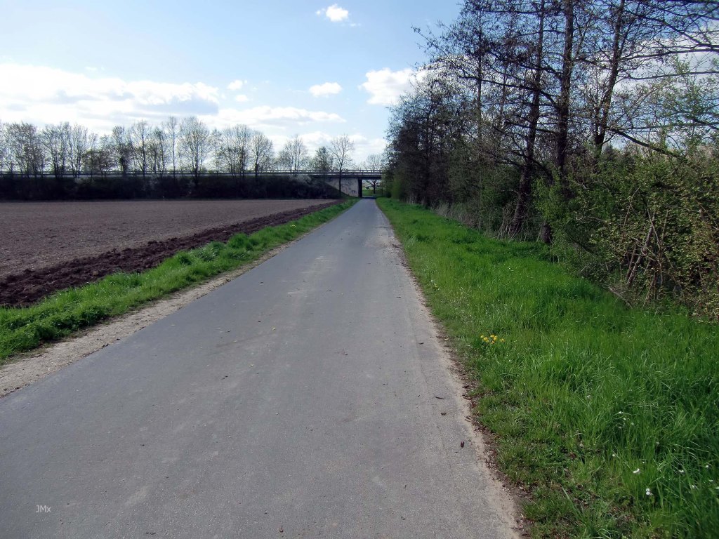
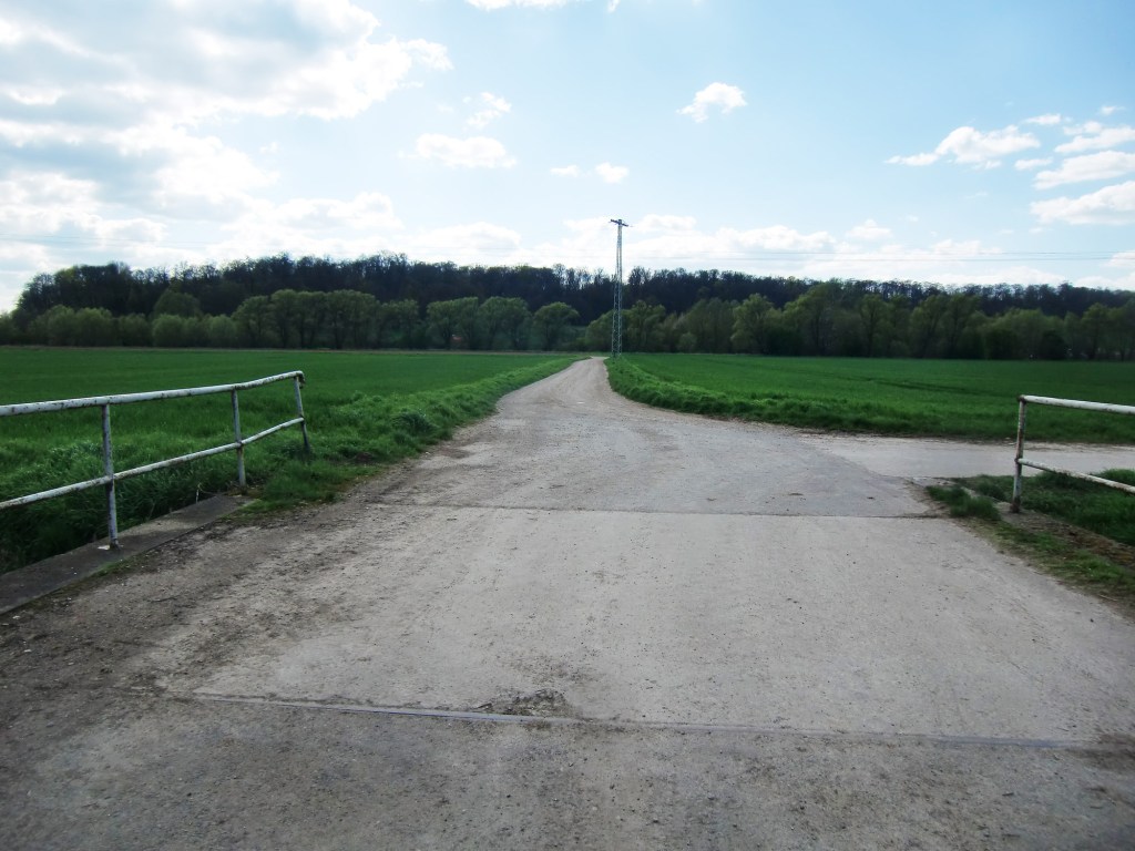
The Leine Valley is pan flat to the North of Göttingen and much is squeezed within the valley floor including a flood plain, an Autobahn, numerous railway lines (one highspeed), major and minor roads, industrial zones, agriculture, towns, villages, and the Weende River plus the Leine River itself.
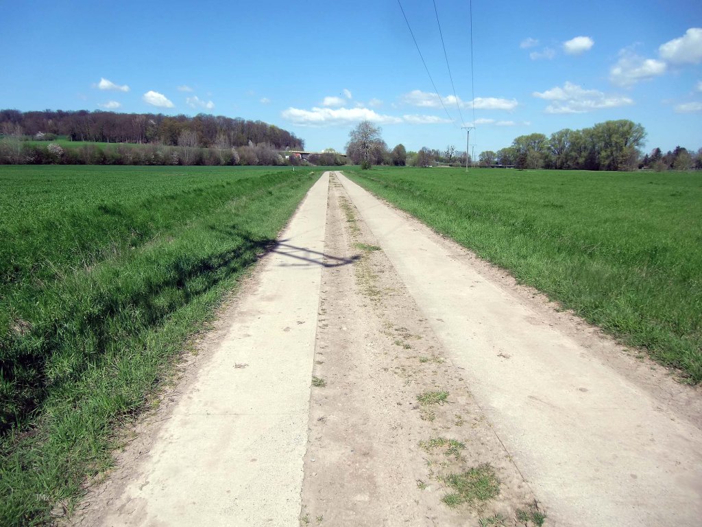
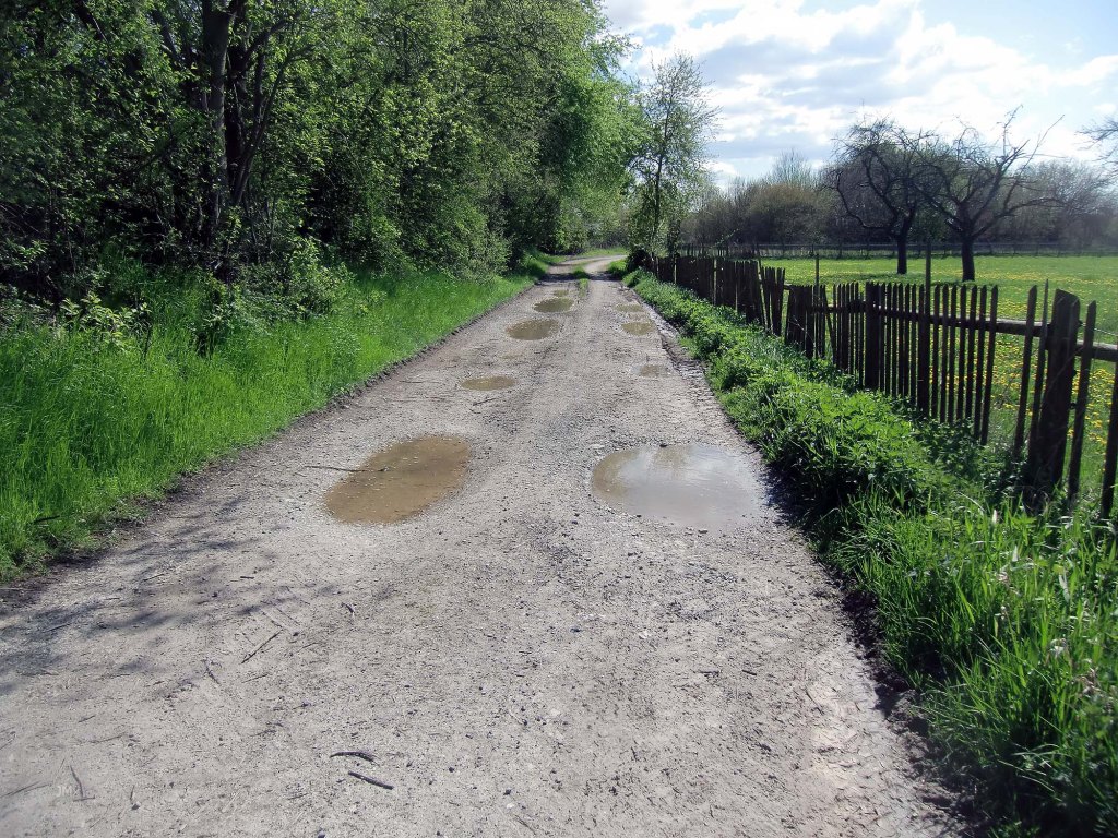
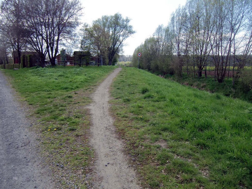
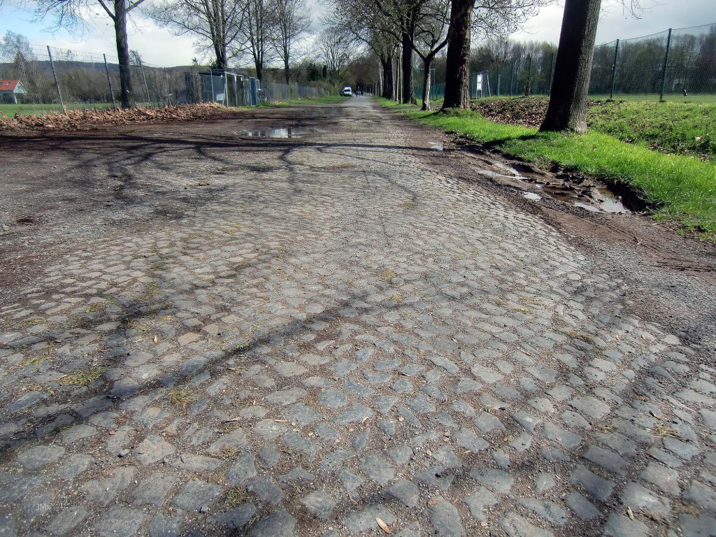
Intertwined are a myriad of Feldweg (concrete, asphalt, and white gravel), which like spaghetti makes for a confused plate but not necessarily a bad tasting one.
One of the reasons why I tend to ride mostly to the south of Gö is to avoid the more industrial northern area of Weende or Grone and the busy roads there, thankfully this route makes the most of car free trails and once you are on the Feldweg it is glorious.
Spring Classics
For me the Gö North Feldweg Omloop evokes the Tro Bro Leon ´road´ race set in Brittany, plus strong memories of the Plain of Flanders and riding the Paris Roubaix cycle sportive. As well as at Ypres in Belgium.
Apart from the lack of hills if you watch the Spring Classic cycle road races, you might see the similarities I see in this landscape. In the same way the white roads of Gö remind me of the Strade Bianche held in Tuscany.
This ride complements both the Gö Feldweg Omloop and the Gö Strade Bianche tours.

Ypres asphalt Feldweg and Ypres viewed from the French Ossuary on the Kemmelberg, Belgium
Gravel/Cobble categories (this is purely subjective & made up by us)
We have graded the gravel 1 to 5 with 5 being the roughest (there is also an Hors Cat for very extreme).
Cat 1 – mostly hard packed and rideable on almost all bikes.
Cat 2 – often hard packed, a little rougher, potholes and challenging.
Cat 3 – loose surface, more ruts & potholes, gradient changes, bigger stones with greater caution required. (may include downhill or a turn)
Cat 4 – very rough, loose with larger stones and deep ruts/potholes.
Cat 5 – as 4 but may also be downhill, maybe tight turns or with single track and ruts.
HC – Mind bogglingly hard.

A sense of Tuscany and the Strade Bianche
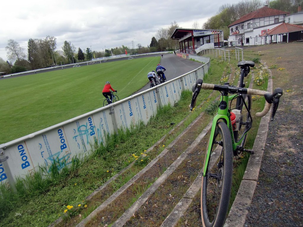
The Ride – 47.35km in total (almost 48km if you add a lap of the velodrome at ride end)
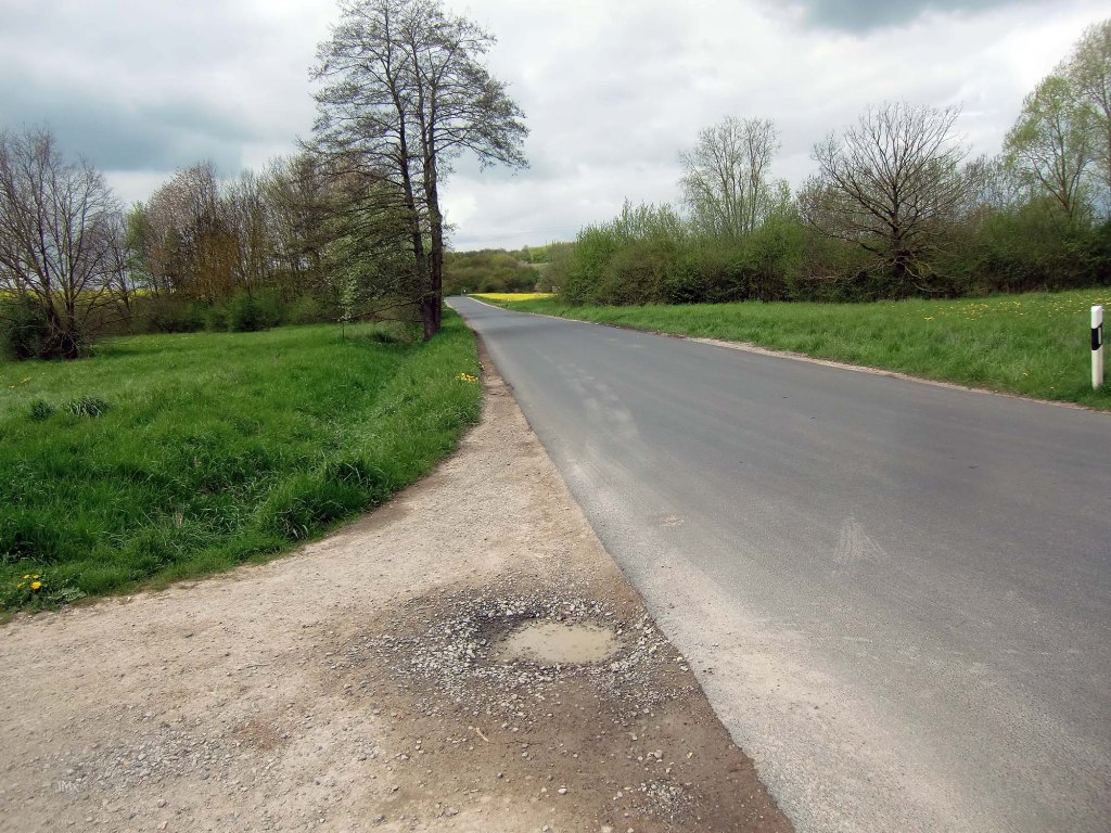
Public Strasse (0.7 km)
Feldweg Asphalt/Betonweg/Gravel/cycle paths (46.65 km)
This includes –
Gravel (26 sektors – 20.4 km)
Cobbles (5 sektors – 1.1 km)
Principal Climbs: 0, elevation 136 metres.
GPS Ride: https://veloklubhaus.com/2023/04/26/go-north-feldweg-omloop-april-25-2023/
Garmin Connect: https://connect.garmin.com/modern/activity/10986452775
Strava: https://www.strava.com/activities/8960486827
Komoot: https://www.komoot.com/tour/1094309252
DO NOT SEE THIS ROUTE AS EASY BECAUSE THERE ARE NO HILLS.
There are no substantial hills, but there are 26 sectors of gravel, and the asphalt or concrete field roads can be heavily compromised by detritus or be damaged and are in some cases rougher than the gravel sectors. If it rains or when the gods leave a door open, then the wind can howl, and the area can become a wild and lonely place despite the built landscape. Paris Roubaix for instance is well known for the hardships delivered by the cobbles on route but ask people who have ridden it and they may also mention how the wind battered them almost as hard.
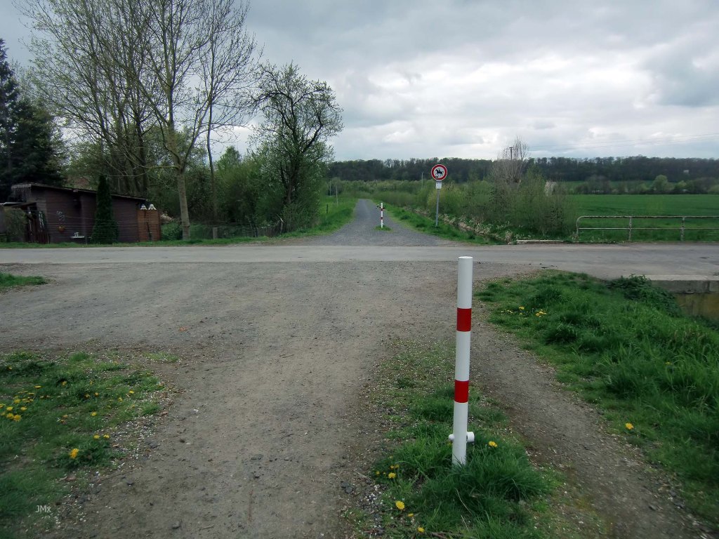
The Feldweg may at times be closed because of farm or forestry workings, please be considerate to all.
There are direct train connections to Gö at Bovenden, Nörten-Hardenberg and Northeim.
This is not a race or a competition.

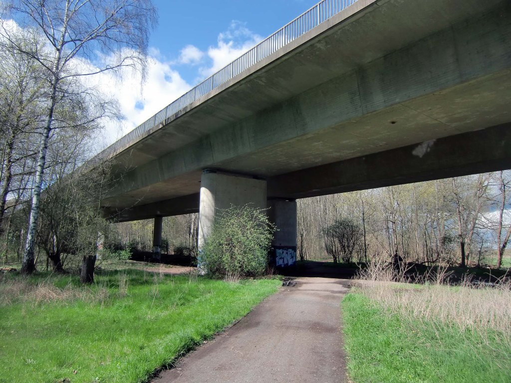
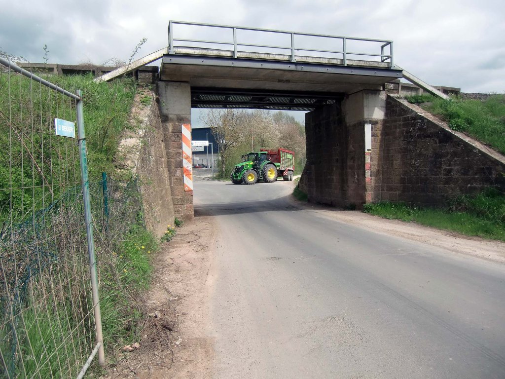
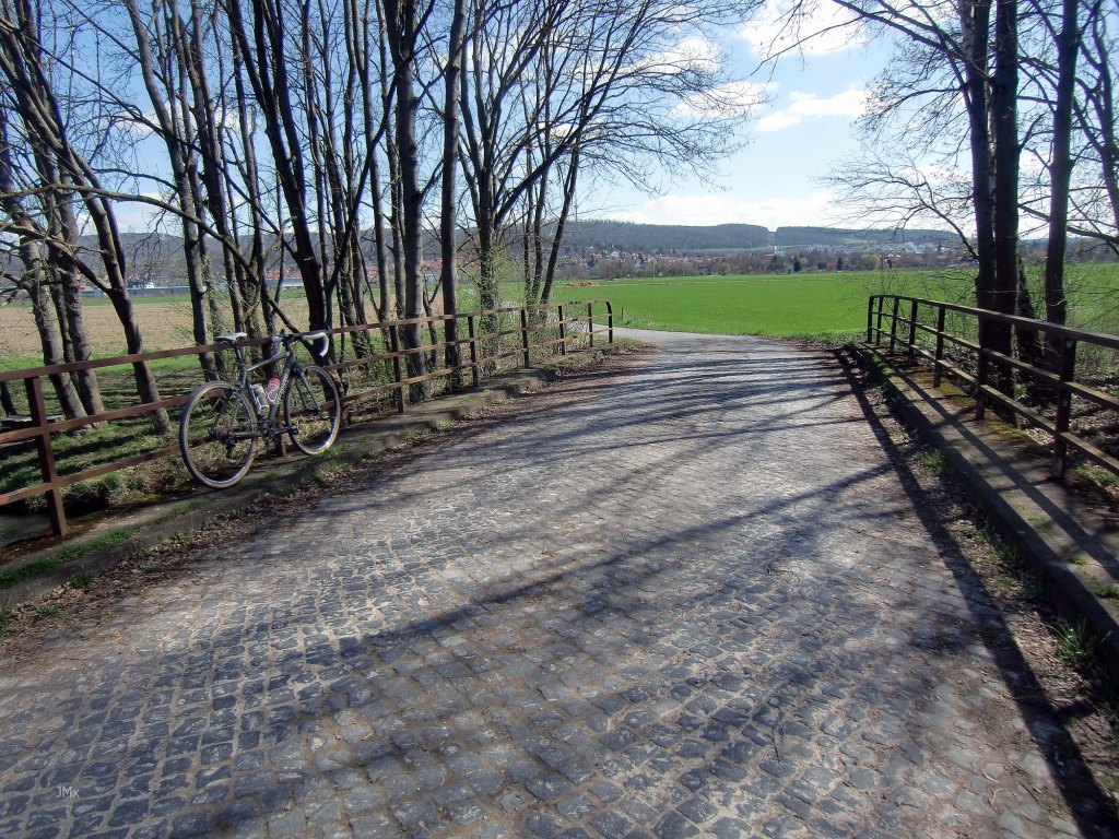
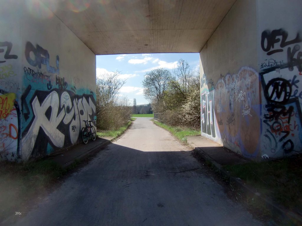
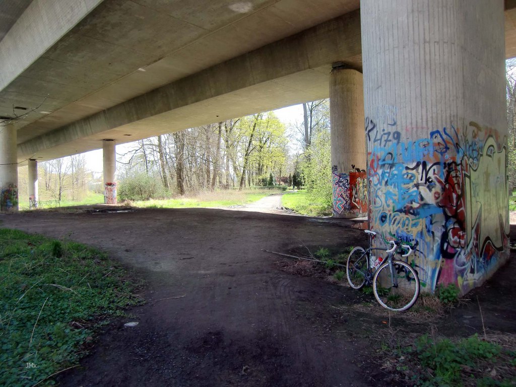
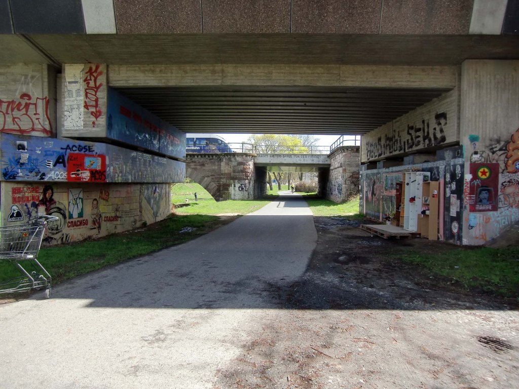
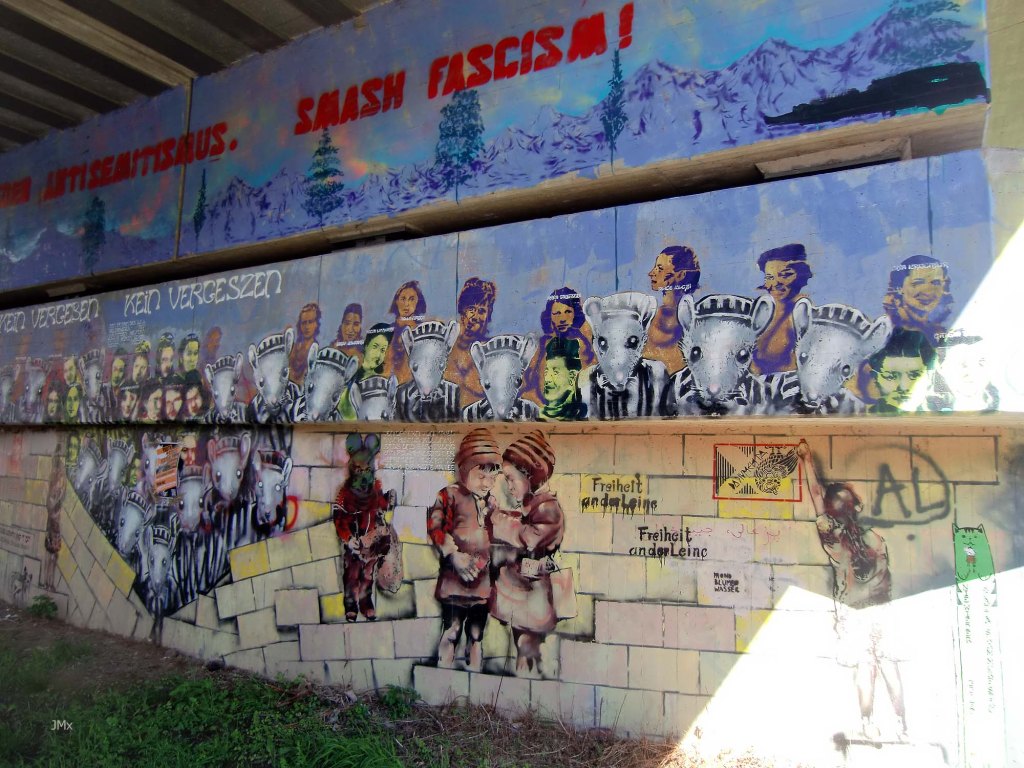
Asphalt Feldweg and a grafitti´d railway bridge – It could be on a race parcours anywhere in the Low Countries.
Stages
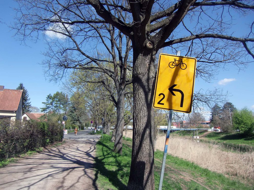
The tour is divided into stages and stated are the types of sections you will encounter – Asphalt Feldweg/Betonweg/Gravel/Kopfsteinpflaster/Radweg/Straße.
Stage 1 – Velodrome to Sandweg/Kiessee
Stages One and Two are busy with pedestrians and other cyclists, so be patient and be nice to everybody. Remember this is not a race or a competition.


SECTORS – Radweg /1 Gravel (Cat 1, 0.6km)/1 Kopfsteinpflaster (Cat 2, 0.3km)/Straße (0.1km)
Stage 2 – Sandweg/Kiessee to Autobahn Flyover
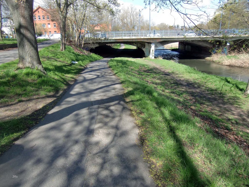
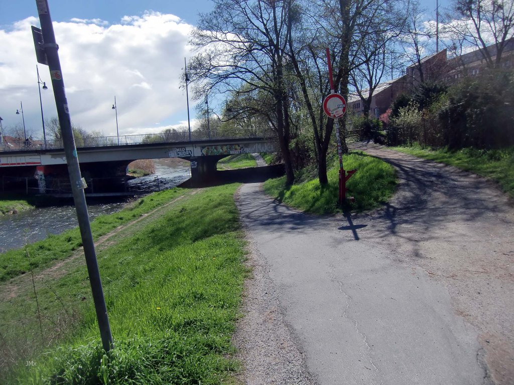
On the Leine-Heide Rad Weg out of Gö there are many bridges, none of which you cross over and others where you go under. Watch out for walkers and dogs.
NOTE: The Leine-Heide Rad Weg at Godehardestraße and Hagenweg/Maschmülenwegom may feature a diversion. This is because work is often undertaken to make safe World War two aerial bombs at the sport arena situated upon the opposite East Bank of the Leine River.
Since moving to Gö in 2019, I recall almost 20 bombs being found and in 2010 three bomb disposal officers were killed attempting to disarm a device in Grona, Gö.


SECTORS – Radweg /4 Gravel (Cat 2, 0.4km – Cat 1, 0.2km – Cat 1, 0.6km – *Cat 1, 0.9km/1 Kopfsteinpflaster (Cat 2, 0.1km) *Currently not ridden
Grone: @ 3.9 Km
Stage 3 – Pet Friedhof/Autobahn Flyover to Entsorgungszentrum Königsbühl
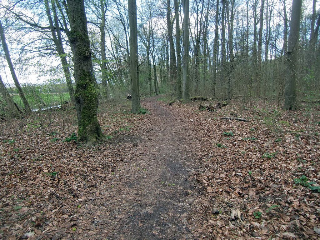
After going under the Autobahn we ride upon a sometimes muddy woodland trail and then we emerge to ride along close to the Leine River. Just before the flyover there are two big ruts across the trail.


SECTORS – 2 Gravel (Cat 2, 1.2km – Cat 3, 0.7), Straße (0.4km)
Stage 4 – Entsorgungszentrum Königsbühl (Along the Autobahn Strade Bianche) to Kopfsteinpflaster Leine Bridge Maaswege
We go left onto a short stretch of straße which can be busy with lorries going back and forth to the waste disposal centre (Entsorgungszentrum Königsbühl). We pop onto the gravel adjacent to the facility just where the tractor is pictured.


SECTORS – Asphalt Feldweg/Betonweg/4 Gravel (Cat 2, 0.5km – Cat 2, 1.0km – Cat 2, 0.3km – Cat 2, 0.1km)/2 Kopsteinplaster (Cat 2, 0.2km – Cat 1, 0.1km)
Bovenden (1) @ 12.6 km
Stage 5 – Bovenden to Nörten-Hardenberg


SECTORS – Asphalt Feldweg/Betonweg/Radweg /2 Gravel (Cat 2, 1.4km – Cat 2, 1.5km)/Straße (0.4km)
Nörten-Hardenberg (1) @ 17.3 km
Stage 6 – Nörten-Hardenberg to Northeim (almost)


SECTORS – Asphalt Feldweg/Betonweg/Radweg /2 Gravel (Cat 3, 1.0km – Cat 3, 0.8km)/Straße (0.2km)
Northeim (almost) @ 24.4 km
Stage 7 – Northeim (almost) to Nörten-Hardenberg
At the furthest point of the ride we cross over the high speed train line at the bridge linking the villages of Sudheim with Hillerse upon the Unteres Tor road.
The cyclepath has no access through the Armco barrier to take our route and I elected to ride a short stretch of the straße (300 metres) to achieve this. The road can be busy – we took great care!
We then follow a mix of gravel and asphalt Feldweg between two train lines to visit Nörten-Hardenberg for the second time.
Near to Nörten-Hardenberg we ride a few sectors of gravel and Feldweg we followed on the way out.


SECTORS – Asphalt Feldweg/Betonweg/2 Gravel (Cat 3, 1.5km – Cat 3, 1.0km)/Strasse (0.4km – 0.3km).
Nörten-Hardenberg (2) @ 31.8 km
Stage 8 – Nörten-Hardenberg to Bovenden


SECTORS – Asphalt Feldweg/Betonweg/3 Gravel (Cat 3, 0.8km – Cat 2, 0.8km – Cat 2, 0.5km)
Bovenden (2) @ 36.6 km
Stage 9 – Bovenden to Leine Bridge
We join a short stretch of straße which can be busy with lorries going back and forth to the waste disposal centre (Entsorgungszentrum Königsbühl).


SECTORS – Asphalt Feldweg/Betonweg/2 Gravel (Cat 1, 0.8km – Cat 1, 0.3km – Cat 1, 0.2km)/Straße (0.3km)
Stage 10 – Leine Bridge to Autobahn Flyover (1.1km)
After dismounting our bikes we cross the Leine Bridge and follow the same river and woodland sections of stage 3 in the opposing direction.
Watch out for walkers and dogs.


SECTORS – Gravel (Cat 2, 1.4km)
Stage 11 – Pet Friedhof/Autobahn Flyover to Sandweg (4.1km) (Stage 2 reversed)
Leine-Heide Rad Weg, we go back the same way we came – stages one, two.
NOTE: Follow the signed diversion as per the outward journey.


SECTORS – Cycle paths/2 Gravel (Cat 1, 0.6km – *Cat 1, 0.9km) *Not ridden.
Watch out for walkers and dogs.
Stage 12 – Sandweg/Kiessee to Velodrome (Stage 1 reversed)
SECTORS – Radweg/1 Gravel (Cat 2, 0.6km)/1 Kopfsteinpflaster (Cat 2, 0.3km)
Achtung/Take Note
The Gö North Omloop/Strade Bianche is a suggested cycle tour route and not a race or a contest, should you choose to follow our description or a GPS of the outlined route you do so at your own risk.
It is your responsibility to ride in a safe and in a comfortable manner suited to your own estimated skill or fitness level.
Die Gö Feldweg Omloop ist ein Routenvorschlag für eine Fahradtour und kein Rennen oder Wettkampf. Solltest Du Dich dafür entscheiden, unserer Tourbeschreibung oder einem GPS der beschriebenen Route zu folgen, tust Du dies auf eigene Gefahr.
Du bist selbst dafür verantwortlich, entsprechend Deinem Können und Fitness-Niveau, so zu radeln, wie Du es Dir zutraust.
