
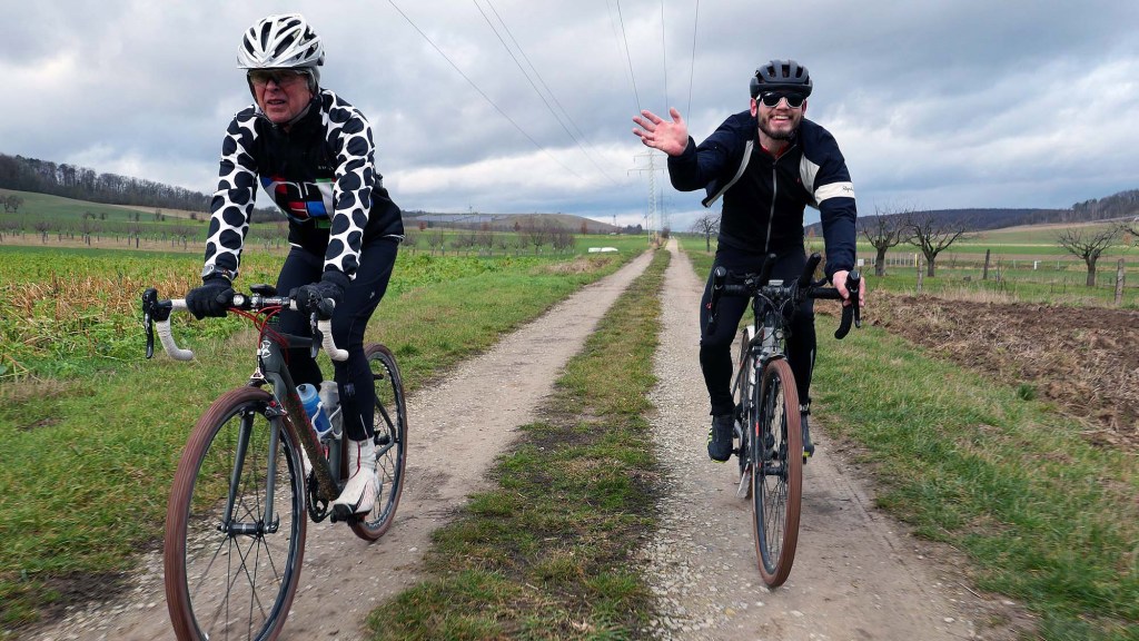
We celebrate the Strade Bianche race with an informal gravel ride featuring 34 sectors of the ´Weißen Straßen´of Göttingen plus concrete/asphalt feldweg, dirt, asphalt cycle paths and public roads.
We ride out from the Gö Velodrome with the aim of crossing the Leine Valley going West to East.
The track takes us to the high ground at Volkerode (West side) and eventually to above Ballenhausen/Gross Schneen (East side). Both heights offer cool views.
Göttingen is located upon the Leine River, and this flows northward through the Leinetal (valley). The valley floor is almost flat if a little like an over garnished Pizza, but when you go east or west then the terrain becomes vertically challenging. This means climbs.
Many of the gravel sectors will be known to Gö Strade Bianche participants, but like me playing a musical instrument – I may play the right notes but they are not necessarily played in the correct order (Morecambe and Wise).
Everyone gets a Brevet Card. Not a race or any type of competition.
Sorry, there is not a German text for this ride.
VISTAS
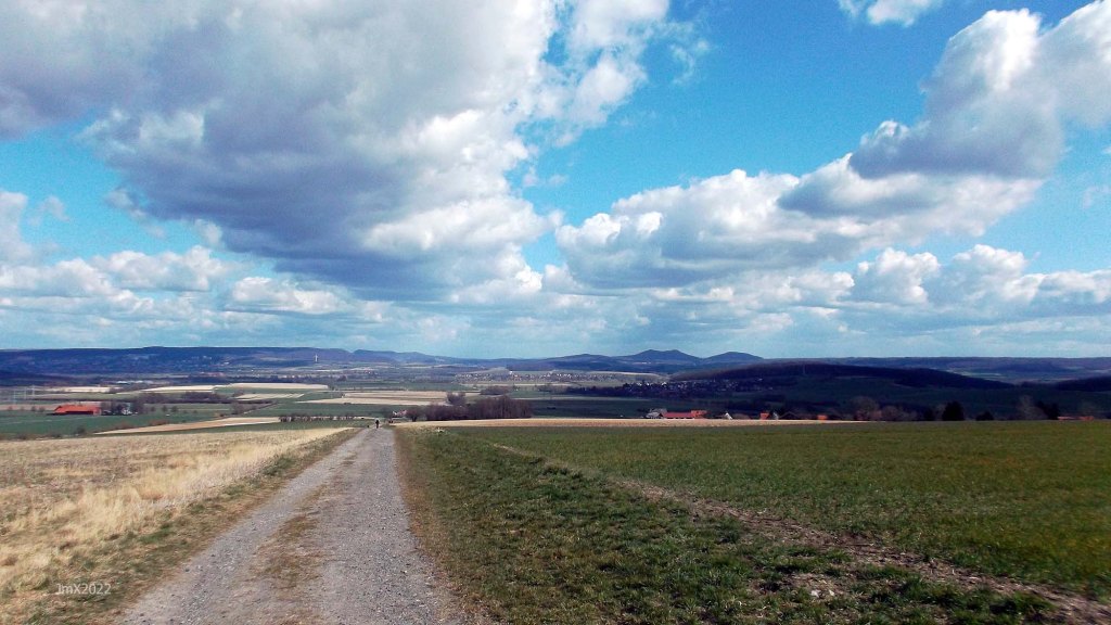
Westside above Volkerode (l) and Eastside above Ballenhausen (r) views into the Leine Valley
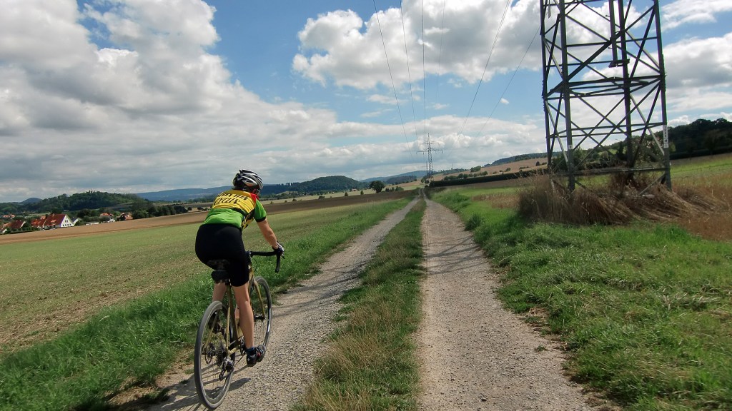
The Route
The route features a mix of gravel, dirt, concrete feldweg (farm/forest) plus asphalt public cycle paths and roads.
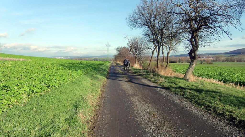
Concrete farm roads (Feldweg)
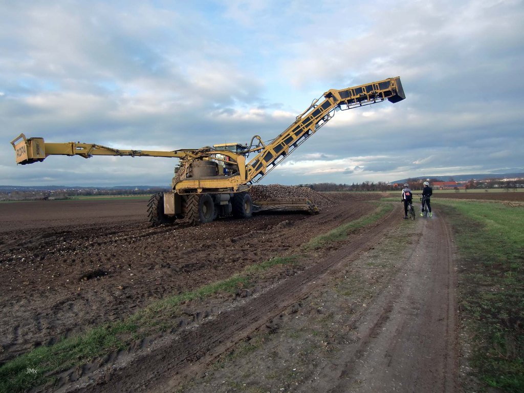
The white roads aren´t the whole story though – a number of concrete farm roads are also included in this route. In regard to Roubaix, for example, people tend to fixate their minds on the cobbles, but that is only part of the battle to finish, there are also the asphalt roads where the wind seems to drive straight into your face. On the ´Gö Strade Bianche´ there are concrete farm roads which are anything but smooth, they can be very muddy and a challenge in themselves.
Sign
The route is not signed, we offer a GPS, but you can choose to follow your own direction.
Want to ride it?
This is an informal ride and a suggested route only. If you would like to ride it with us do make contact. Or of course you may ride it at your own time and if you do, it would be great to hear from you (we can respond to German language E-mails) – https://veloklubhaus.com/contact/.
Achtung/Take Note
The Gö Strade Bianche is a suggested cycle tour route and not a race or a contest, should you choose to follow our description or a GPS of the outlined route you do so at your own risk.
It is your responsibility to ride in a safe and in a comfortable manner suited to your own estimated skill or fitness level.
Die Gö Strade Bianche ist ein Routenvorschlag für eine Fahradtour und kein Rennen oder Wettkampf. Solltest Du Dich dafür entscheiden, unserer Tourbeschreibung oder einem GPS der beschriebenen Route zu folgen, tust Du dies auf eigene Gefahr.
Du bist selbst dafür verantwortlich, entsprechend Deinem Können und Fitness-Niveau, so zu radeln, wie Du es Dir zutraust.

Gö from Volkerode
Gravel categories (this is purely subjective & made up by us)
We have graded the gravel 1 to 5 with 5 being the roughest (there is also an Hors Cat for very extreme).
Cat 1 – mostly hard packed and rideable on almost all bikes.
Cat 2 – often hard packed, a little rougher, potholes and challenging.
Cat 3 – loose surface, more ruts & potholes, gradient changes, bigger stones with greater caution required. (may include downhill or a turn)
Cat 4 – very rough, loose with larger stones and deep ruts/potholes.
Cat 5 – as 4 but may also be downhill, maybe tight turns or with single track and ruts.
HC – Mind bogglingly hard.

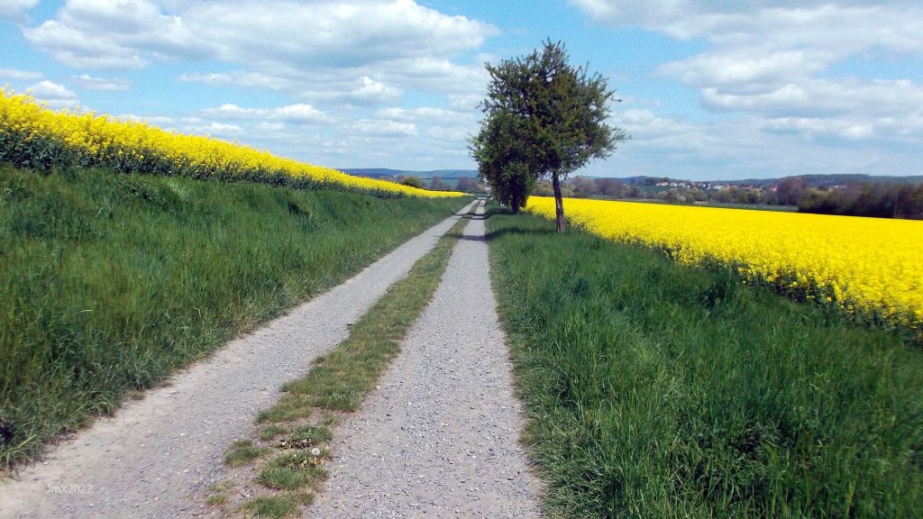
Relax your arms on the smooth Feldweg
The Ride – 51.07
34 Gravel Sectors – 30.6 Km ca/approx.
Feldweg/Cycle paths – 13.27 km ca/approx.
Strassen: 7.2 km ca/approx.
*4 principal climbs – a total of 446 metres elevation.
GPS
Garmin Connect: https://connect.garmin.com/modern/activity/11066084158
Strava: https://www.strava.com/activities/9028367190
Komoot: https://www.komoot.com/tour/1110271193
The GPS Ride: https://veloklubhaus.com/2023/05/07/go-strade-bianchi-traverse-the-leinetal-may-7-2023/
The Route
Sector/Category/@/Sector Length
Gö Velodrome @

Sector 1 – Cat 2, 0.9km
This sector of gravel and broken asphalt once saw trains of the Gartelbahn trundling and steaming along it.
Watch out for walkers and badly parked cars.

Sector 2a – Cat 1, 0.9km (a + b)
Watch out for walkers and dogs! Be nice.

Sector 2b – Cat 1

Sector 3 – Cat 2, 0.6km

Sector 4 – Cat 3, 0.1km
Reinshof yard, featuring cobbles and loose large stones.

Sector 5 – Cat 2, 0.3km
Brilliant white in the summer.

Sector 6 – Cat 2, 0.7km

Gö West-Side @ 5.0 km – dedicated to the Dengie Tour.
Cross the road with care.


Sector 7 – Cat 1, 0.6km

Sector 8 – Cat 2, 1.6km

Sector 9a – Cat 2, 0.6km (a+b)

Autobahn @ 10.4 km
Sector 9b – Cat 2
A large puddle of water can build up at the bottom of the descent.

Volkerode @ 12.6 km
*Sector 10a – Cat 2, 1.3km (a+b+c). Climb max 8.3%.
We climb for 1.3km.

*Sector 10b – Cat 2

Sector 10c – Cat 1

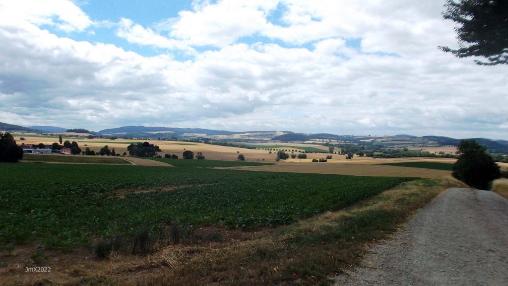
VISTA: Above Volkerode with Göttingen in view in the Leine Valley.


Sector 11a – Cat 1, 2.4km (a+b+c+d)

Sector 11b – Cat 1

Sector 11c – Cat 2

Sector 11d – Cat 3. Descent!!
VISTA: On top of the world – this is a long descent on a mix of gravel types with the last section before the asphalt feldweg being rough – moderate your speed.

Sector 12 – Cat 2, 1.3km
After rolling asphalt farmers roads we return to gravel.

Sector 13a – Cat 2, 0.9km

Sector 13b – Cat 2

Sector 14 – Cat 3, 0.7km
More a stein road than gravel.

Sector 15a – Cat 2, , 1.3km (a+b+c)
A cool picnic spot and there is shelter. We go straight ahead after the hut unlike all other Gö Strade routes which go left.

*Sector 15b – Cat 2, Climb. 18.6%
The climb is progressive with the highest point being very short in length.

Sector 15c – Cat 3

The woodland section is a wee bit gnarly (15c).

Autobahn A38 24.4 km
Sector 16 – Cat 2, 0.6km. Descent!
At the bottom there is a rut across the gravel and which is sometimes filled with water.

Sector 17a – Cat 2, 2.7km (a+b+c)
Follow the pylons into Hesse 27.6 km.
TIME OUT: If you wish you can miss out sectors 17/18 and pick up the route at Elkerhausen or ride the first part of sector 17 and then divert from there.

*Sector 17b – Cat 1. Climb max 10.5%.
Am Kirschberge at Marzhausen – very recently the once stone littered climb has been sanitised with a wide carpet of gravel stones laid down.

Sector 17c – Cat 2. Descent!
There is a few metres of asphalt between Sector C and D.

Marzhausen @ 28.5 km
Sector 18 – Cat 2, 0.8km
We re-enter Lower Saxony @ 29.3 km & the Friedland Denkmal is out of sight in this picture to your right.

Elkerhausen @ 30.1 km
A second time under the A38 (30.7km).

Sector 19 – Cat 2, 2.3km

Klein Schneen @ 33.1 km
Sector 20 – Cat 2, 0.8km
There is an unlawful swimming lake on the right handside, be careful of the law abiding having a day off. There is usually a gate to stop the bathers parking their cars along the feldweg.

Sector 21 – Cat 2, 0.5km

Groß Schneen @ 36.4 km
There is a bakers in Groß Schneen. (Bäckerei Könnecke, Landstraße 22)
Cross the B27 with care!!!!
TIME OUT: If you wish you can miss out sectors 22 to 25 going directly onto sector 26 at Stockhausen by opting to ride the B27 cyclepath instead.
Sector 22a – Cat 1, 0.5km (a+b)

Sector 22b – Cat 2.
Rot Strade.

Sector 23 – Cat 1, 0.2km

Ballenhausen @ 39.9 km
*Sector 24 – Cat 3, 0.2km. Climb max 18.8%
The climb here extends beyond the first section of gravel leading onto asphalt.

VISTA: A cool view across to the South of the Leine Valley with Ballenhausen close by.

Sector 25 – Cat 4, 1.2km Descent!
A gnarly descent – moderate your speed and prepare to turn left.

Sector 26a – Cat 3, 0.4km (a+b)
If you wish you can continue to the B27 and miss out sector 21 (turning left to Stockhausen).
B27/Stockhausen @ 42.3 km

Sector 26b – Cat 3

Sector 27a – Cat 2, 2.1km (a+b+c+d)
We join the Bahn to Neidernjesa.


Sector 27b – Cat 2

Sector 27c – Cat 2

Sector 27d – Cat 3

Neidernjesa @ 45.4 km
Sector 28a – Cat 3, 0.7km (a+b)
This section can get very muddy near end and also being deeply rutted.

Sector 28b – Cat 1

Sector 29 – Cat 3, 1.1km
A gradual climb of the Weinzenberg where once a medieval warte stood (until 1570) part of a system of Landswehr and watch towers which controlled entry to Göttingen.


Sector 30 – Cat 2, 0.3km
Sector 5 reversed.

Sector 31 – Cat 3, 0.1km
Sector 4 reversed – We return to Reinshof with its cobbles and large stones in the farm yard.


Sector 32 – Cat 2, 0.6km
Sector 3 reversed and it is a nice flowing downward section in this direction.


Spring and Winter
Sector 33a – Cat 1, 0.9km (a+b)
Sector 2 reversed.

Sector 33b – Cat 1
Watch out for walkers, and especially dogs. Be nice.

Sector 34: Cat 2, 0.6km
This sector of gravel and broken asphalt once saw trains of the Gartelbahn trundling and steaming along it.
Note: Watch out for walkers on the shared path and cars parked in odd places, be nice!
Sector 1 in reverse.

End @ 51.07 km
We stop at the end of the gravel, if you wish you can turn left and do a lap of the velodrome (if able).

Want to ride it?
This is an informal ride and a suggested route only. If you would like to ride it with us do make contact. Or of course you may ride it at your own time and if you do, it would be great to hear from you – https://veloklubhaus.com/contact/.
Lust mitzuradeln?
Dies soll eine informelle Radtour sein, und wir schlagen nur Treff und Route vor. Wer immer Interesse hat, möge uns bitte kontaktieren (https://veloklubhaus.com/contact/).

