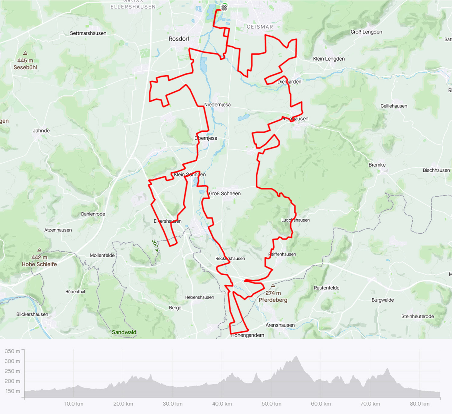
Suggested Route (84.17 km extended version with a west-side and a southern loop where we ride in and out of the old DDR)
We celebrate the Strade Bianche race with an informal gravel ride featuring the ´Weißen Straßen´of Göttingen plus concrete, dirt, tarmac cycle paths and public roads.
NOTE: This runde is no longer being updated and will be or has been replaced – all routes that are subject to continued review are listed in the menu at – DE Home – ENG Home
´Strade Bianche Gottingese´
Sorry, there isn´t a German language description for this ride.
The suggested route (you can also follow your own path) begins at the Göttingen velodrome where we soon hit the first of 51 gravel sectors (some of which are sub-sectioned), we deviate from other routes (42, 55, 66 & 72km) by taking in a loop of the west-side of the Leine Vally before we rejoin at sector 12 at the Leine Valley/ train line.
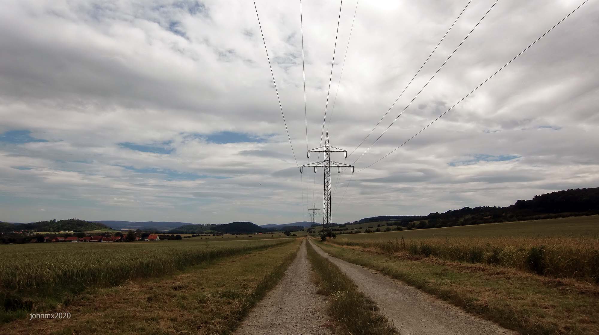
A series of fast gravel sections takes us under the A38 Autobahn for the first time. Next we go past Friedland, beyond Reckerhausen onto Niedergandern and across the old Íron Curtain.
At Besenhausen you can visit a cafe (Weds/Sunday). A series of body/mind tiring climbs on the eastside of the Leine Valley follow with the last climb coming at Diemarden. Soon after we drop down to Geismar – here eight gravel sections await before we arrive back at the velodrome.
The Route
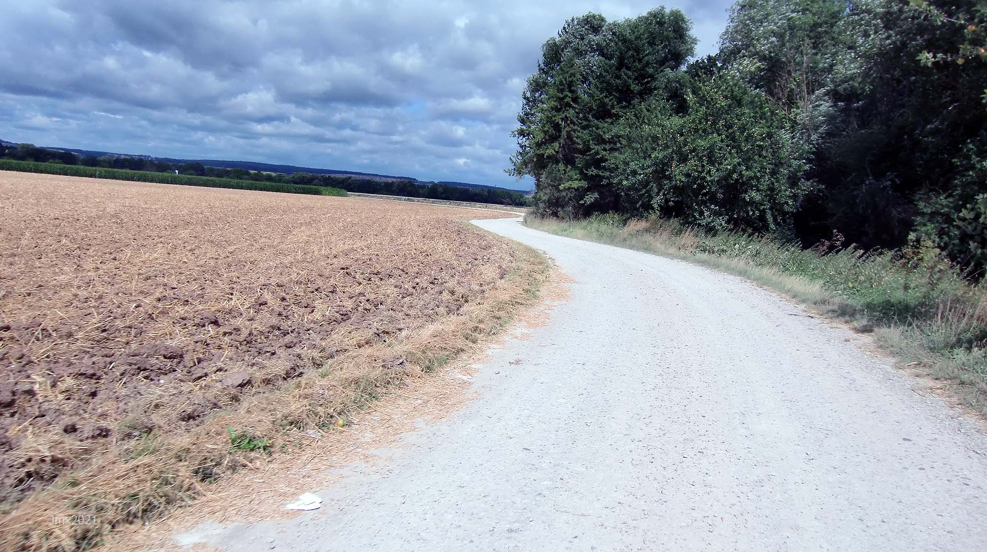
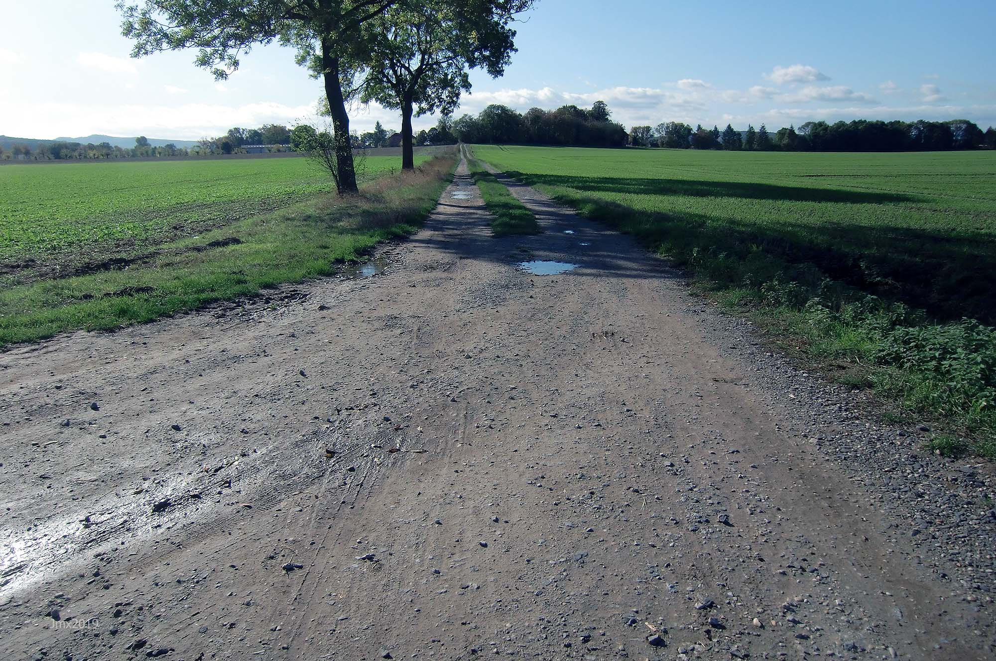
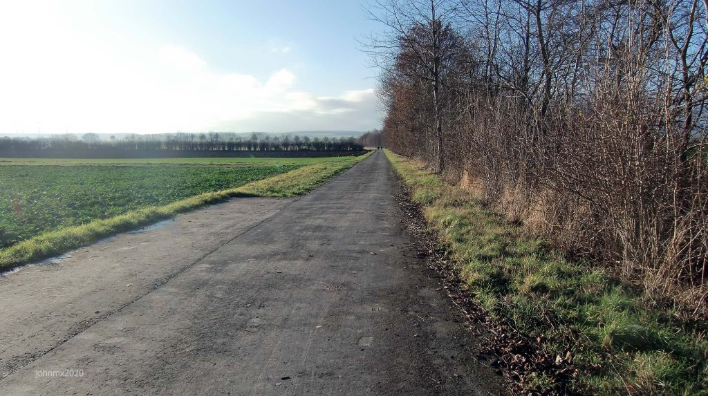
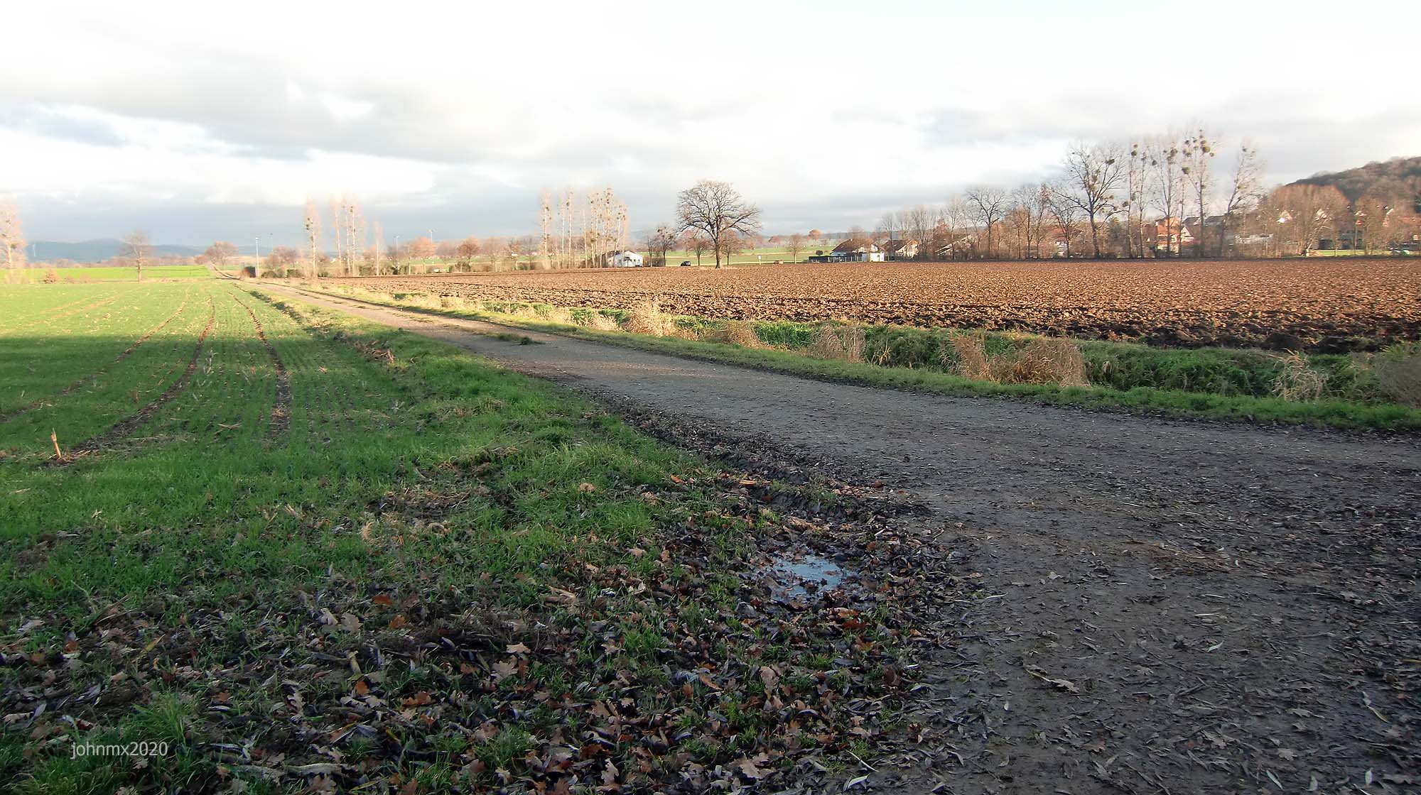
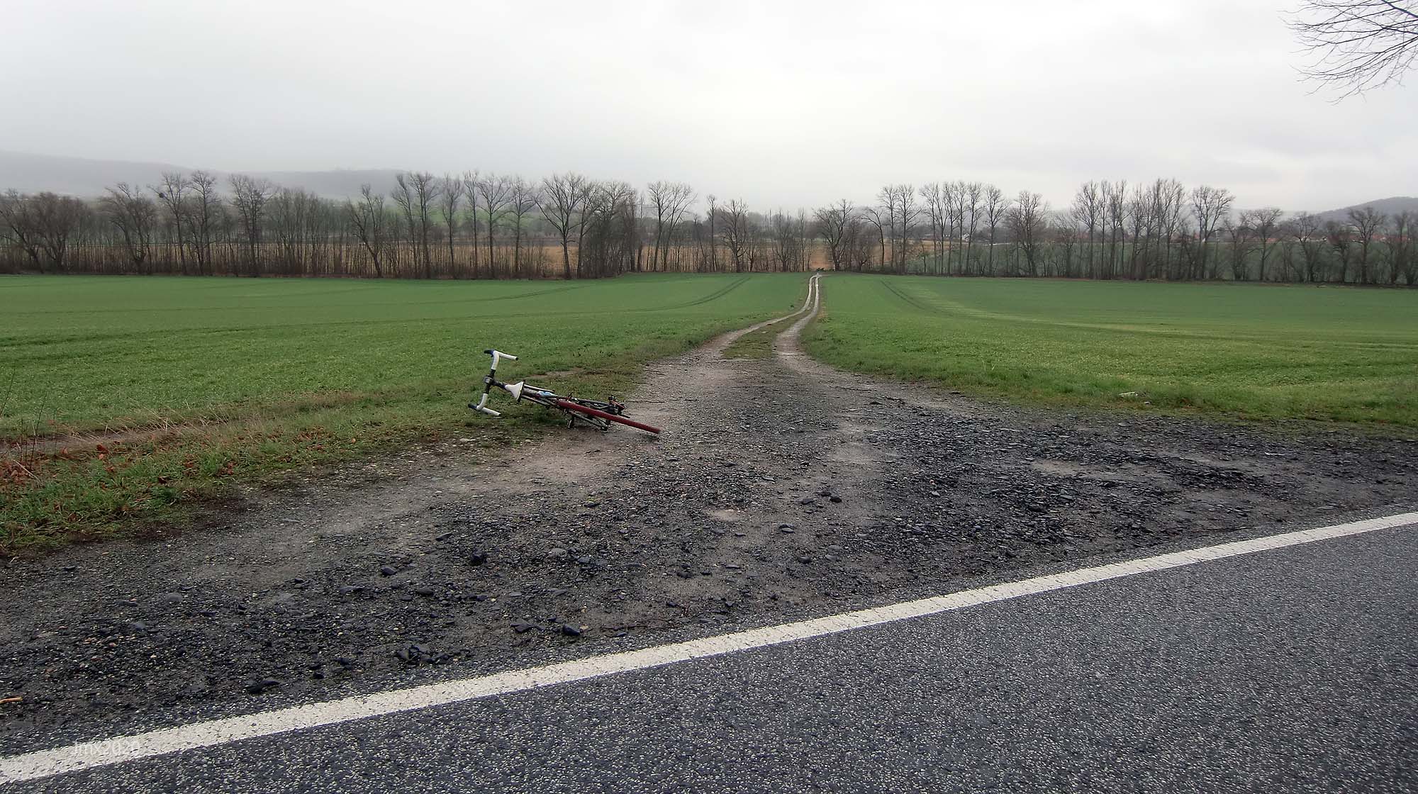
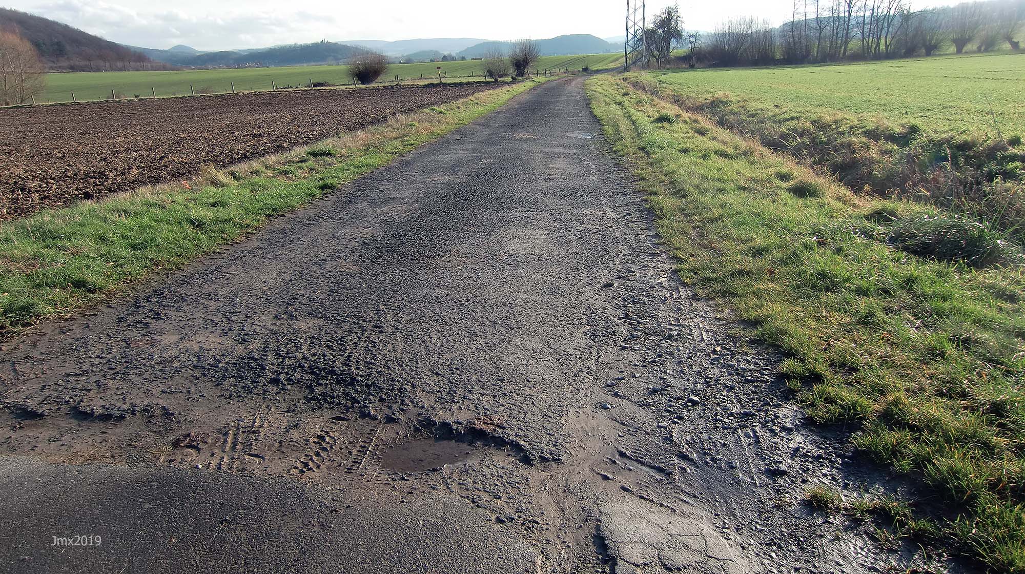
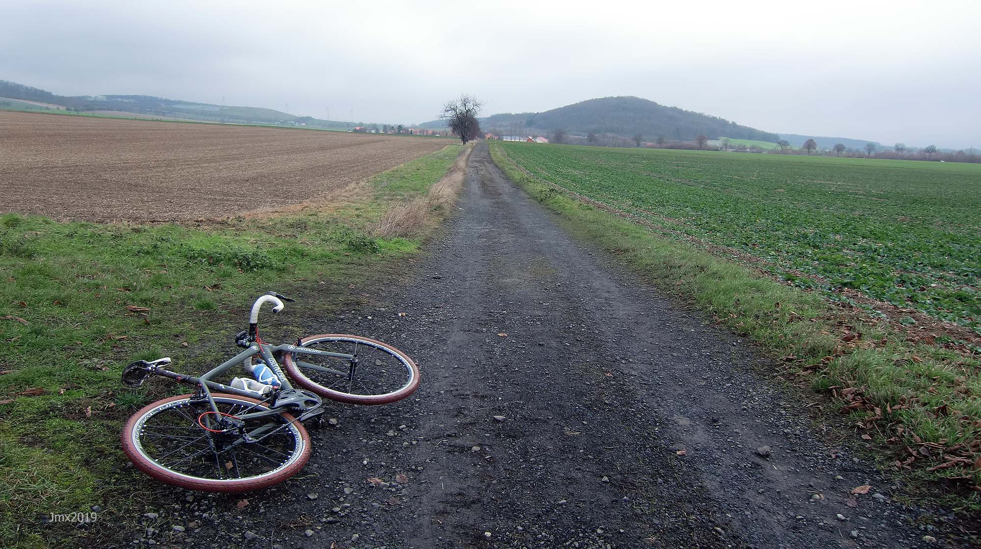
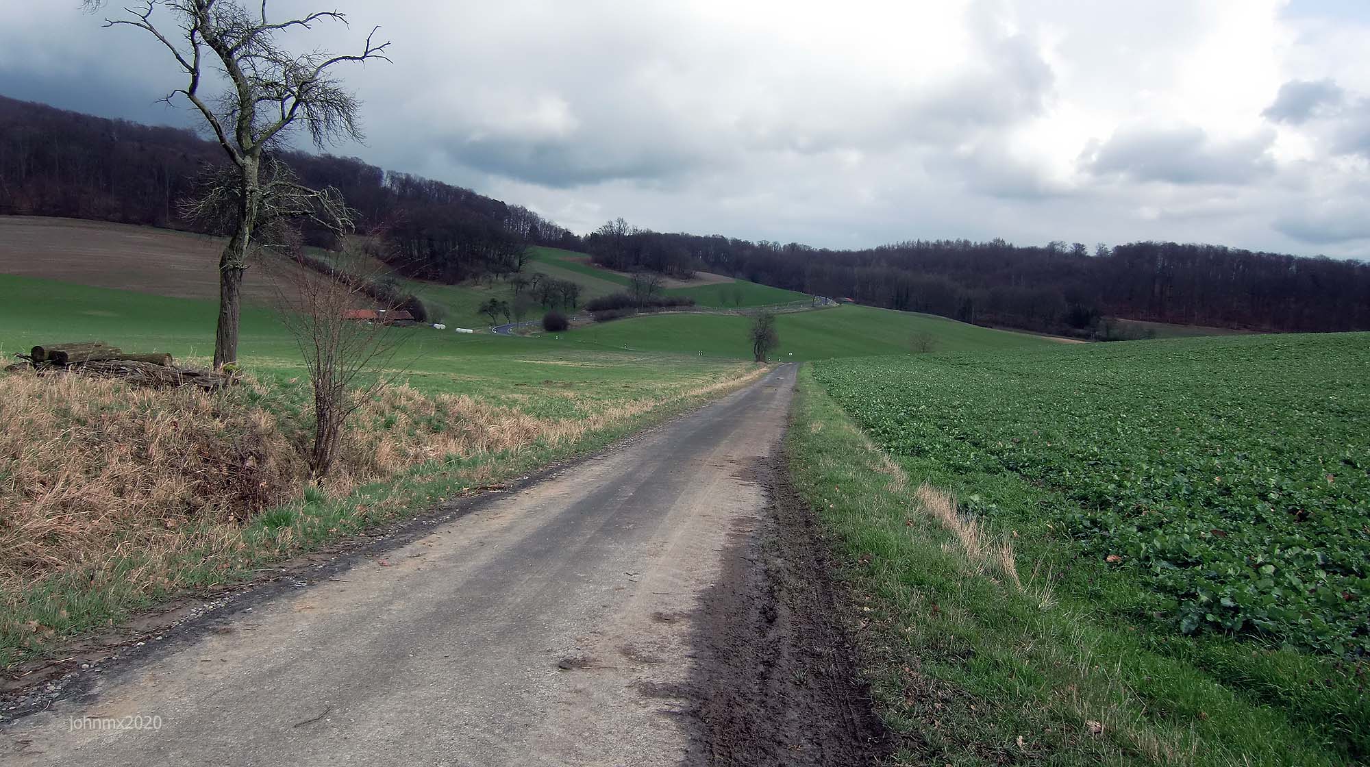
The route features a mix of gravel, dirt, concrete (farm/forest) plus tarmac public cycle paths and roads.
Concrete farm roads
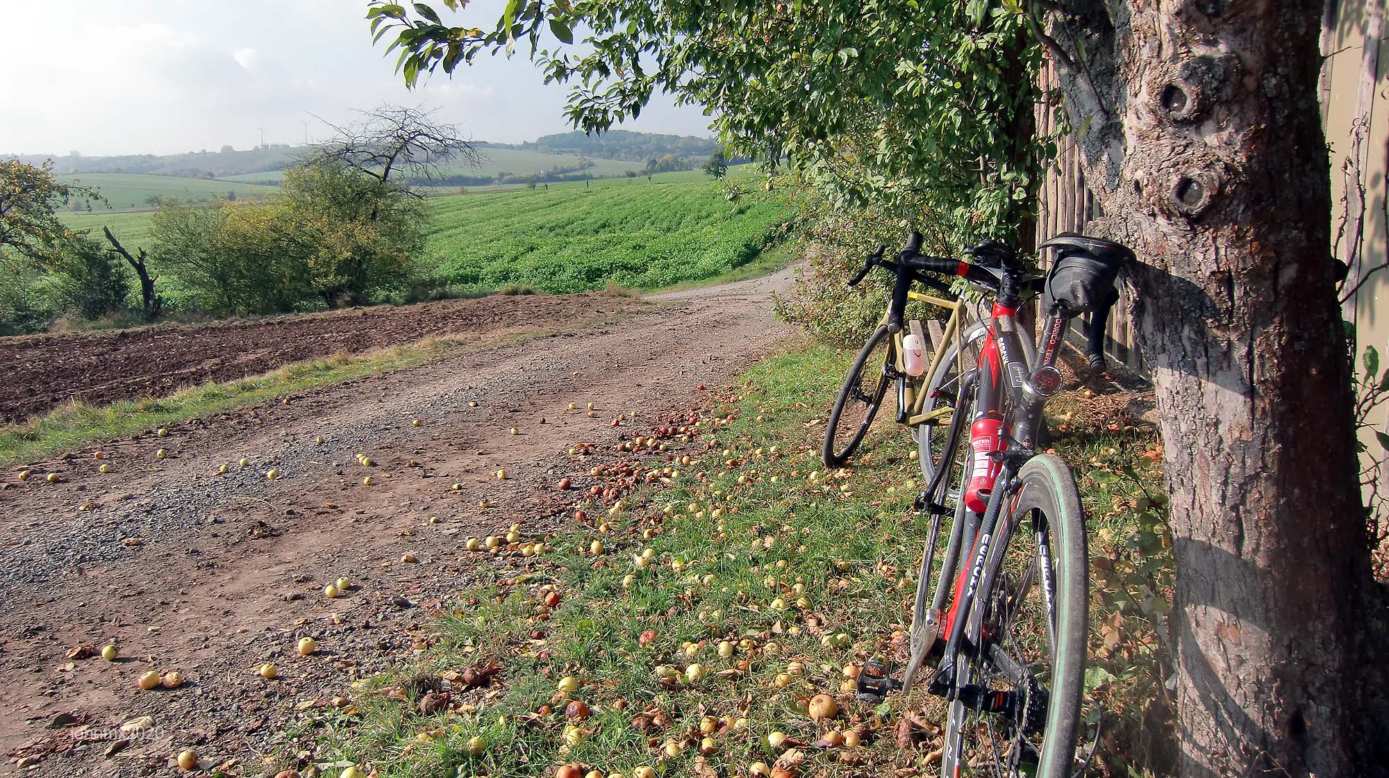
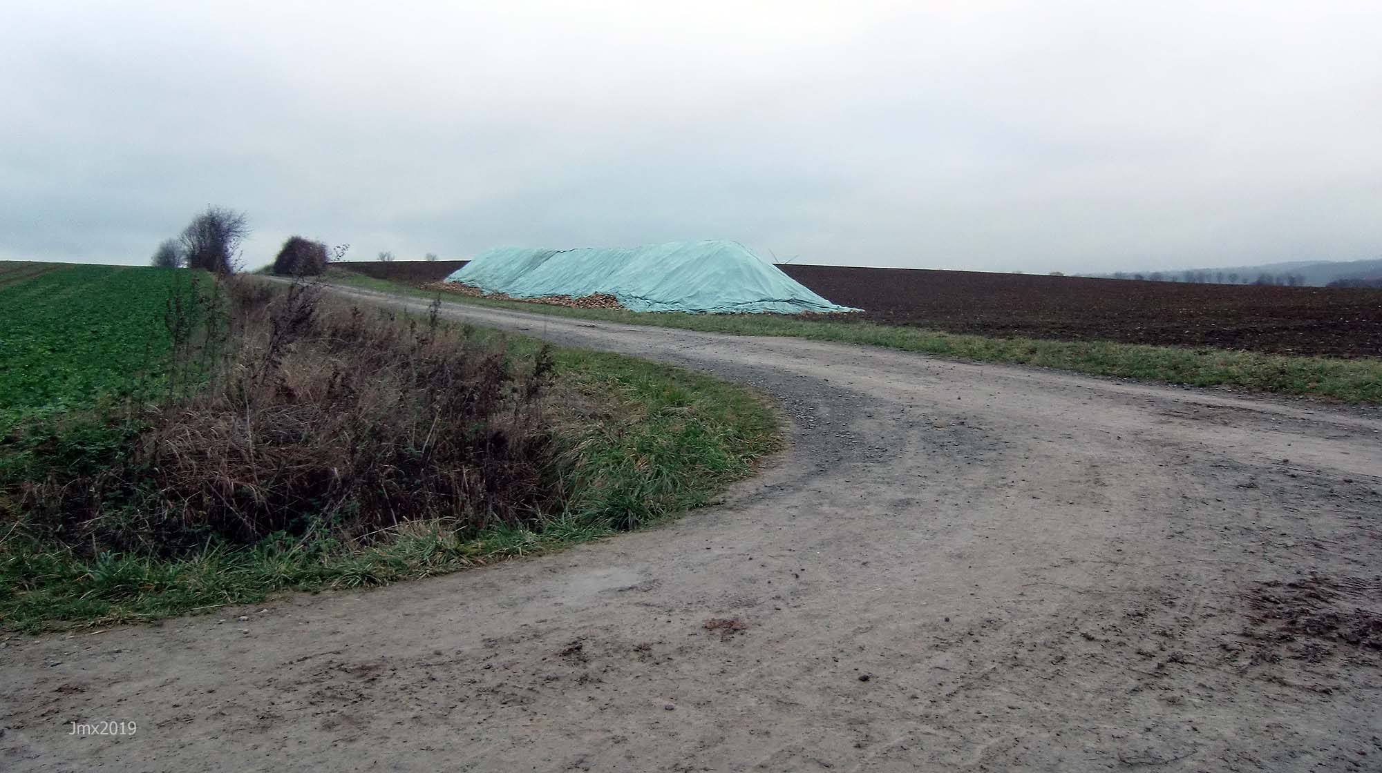
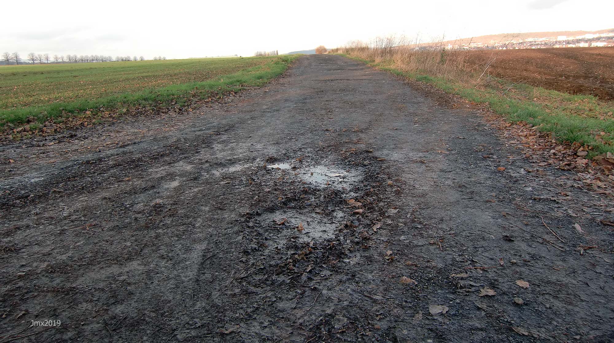
The white roads aren´t the whole story though – numerous concrete farm roads (Betonweg) are also included in this route. In regard to Paris Roubaix, for example, people tend to fixate their minds on the cobbles, but that is only part of the battle to finish, there are also the tarmac roads where the wind seems to drive straight into your face. On the ´Gö Strade Bianche´ homage ride there are concrete farm roads which are anything but smooth, they can be very muddy and a challenge in themselves.
GPS
Garmin Connect: https://connect.garmin.com/modern/activity/7222236335
Strava: https://www.strava.com/activities/5716848416
Komoot: https://www.komoot.com/tour/439138779
The GPS Ride: Gö Strade Bianche 84km – July 31 2021
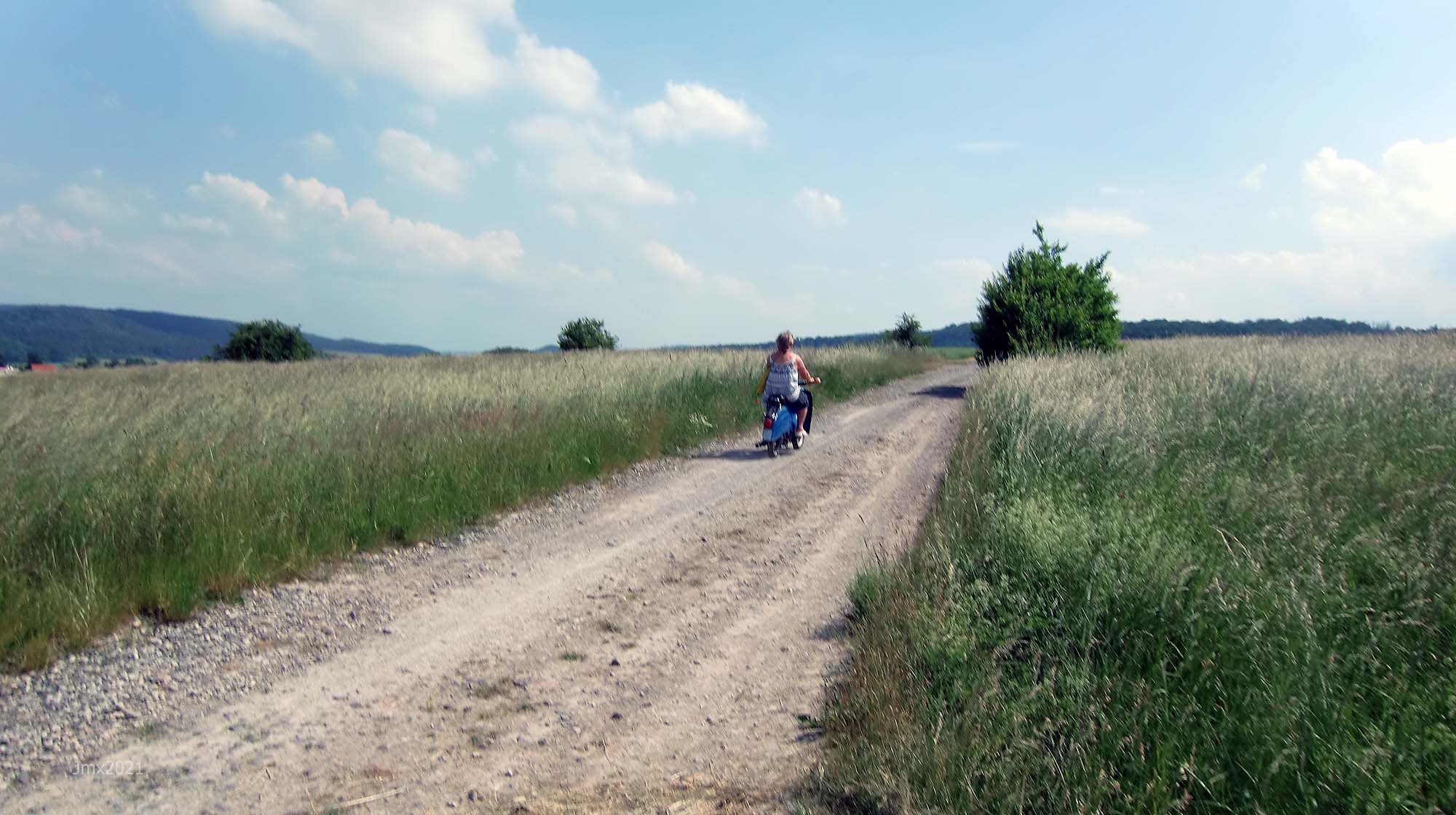
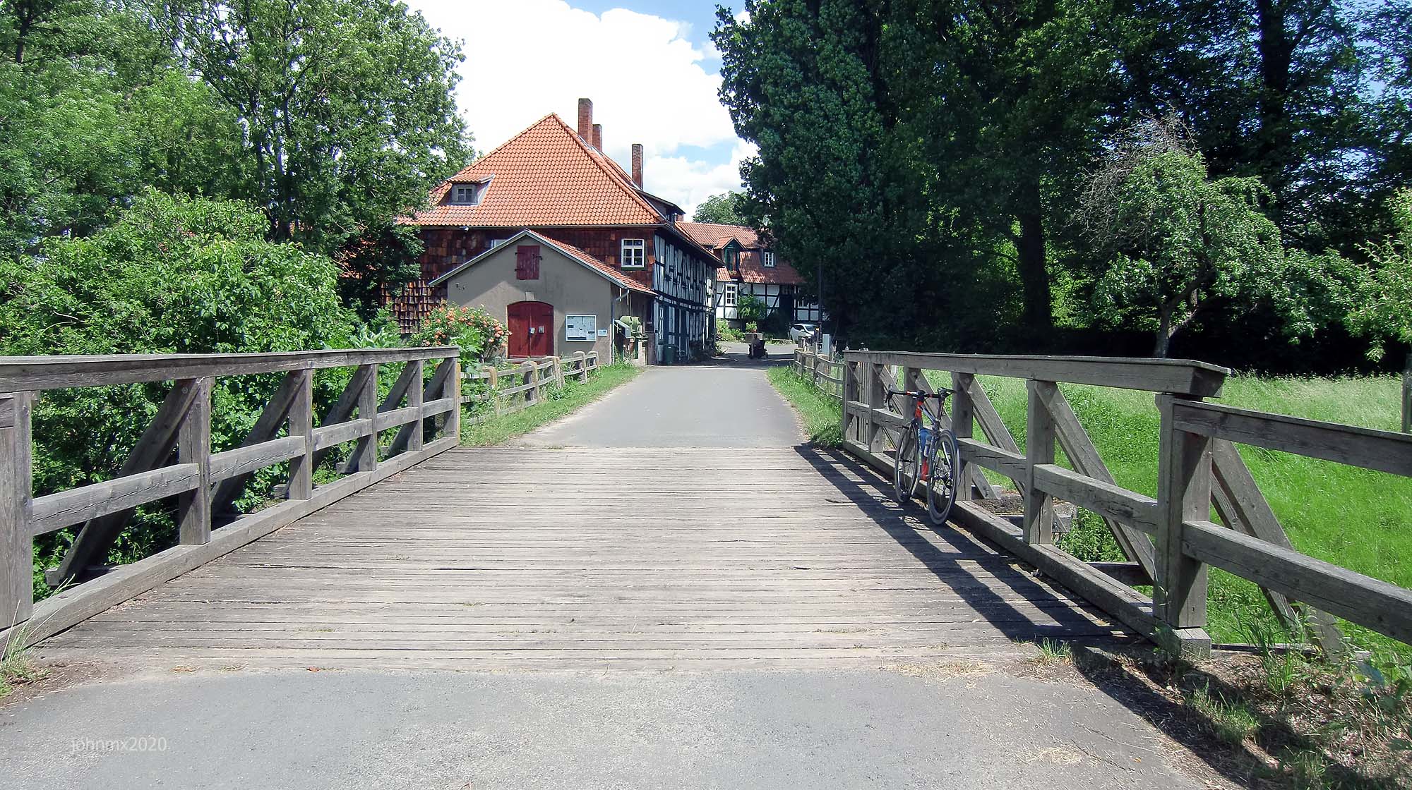
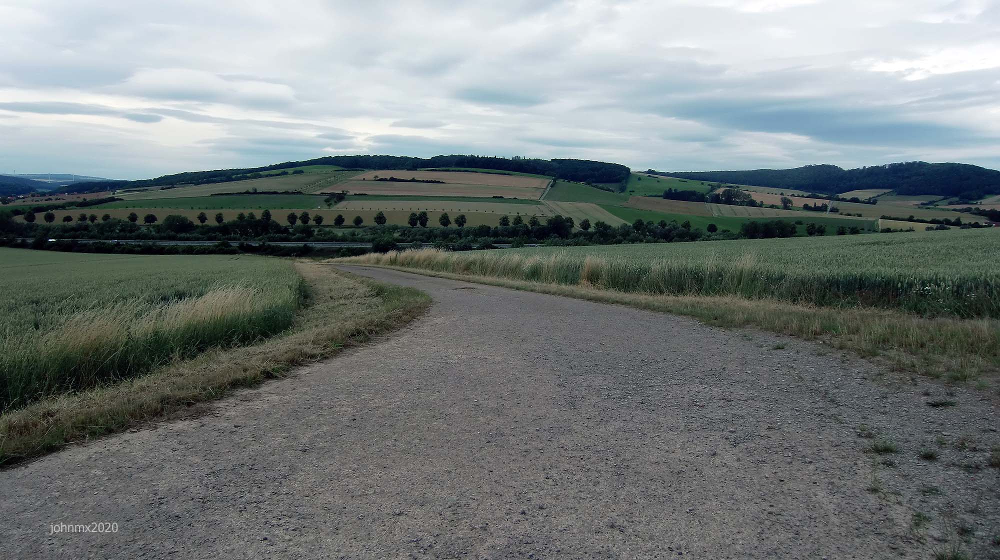
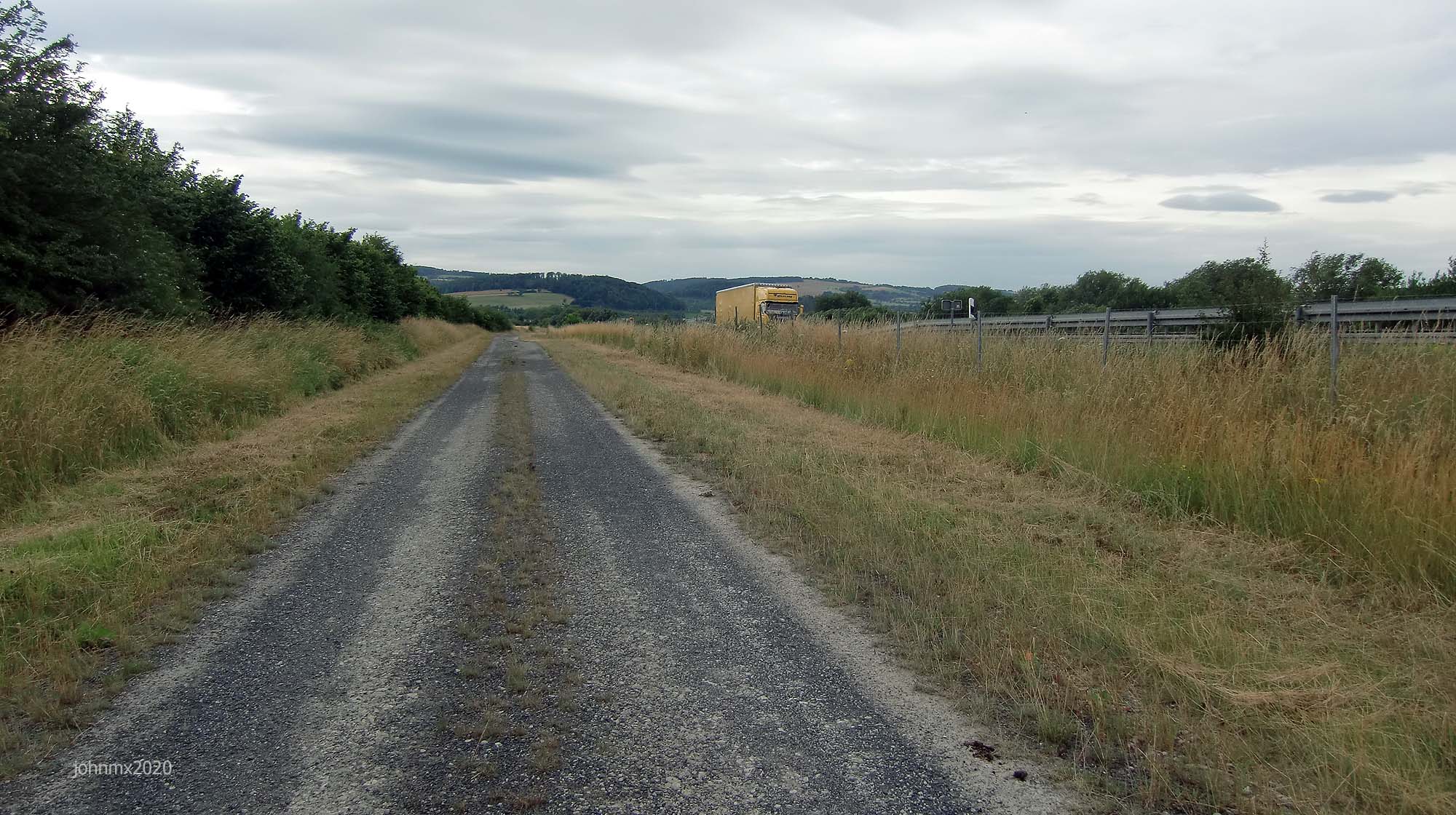
Gallery
Sign
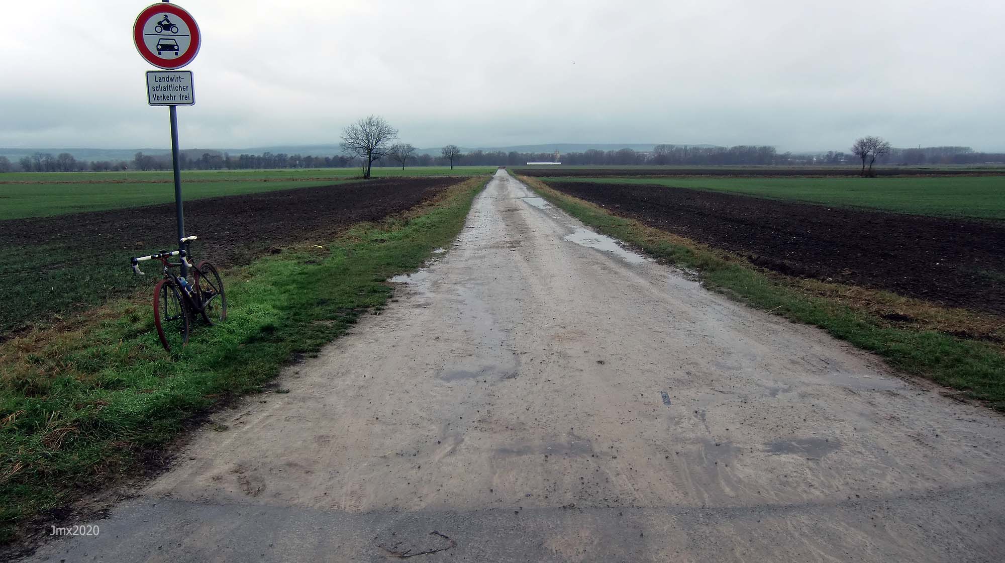
The route is not signed, we offer a GPS, but you can choose to follow your own direction.
Want to ride it?
This is an informal ride and a suggested route only. If you would like to ride it with us do make contact. Or of course you may ride it at your own time and if you do, it would be great to hear from you – https://veloklubhaus.com/contact/.
Achtung/Take Note
The Gö Strade Bianche is a suggested cycle tour route and not a race or a contest, should you choose to follow our description or a GPS of the outlined route you do so at your own risk.
It is your responsibility to ride in a safe and in a comfortable manner suited to your own estimated skill or fitness level.
Die Gö Strade Bianche ist ein Routenvorschlag für eine Fahradtour und kein Rennen oder Wettkampf. Solltest Du Dich dafür entscheiden, unserer Tourbeschreibung oder einem GPS der beschriebenen Route zu folgen, tust Du dies auf eigene Gefahr.
Du bist selbst dafür verantwortlich, entsprechend Deinem Können und Fitness-Niveau, so zu radeln, wie Du es Dir zutraust.
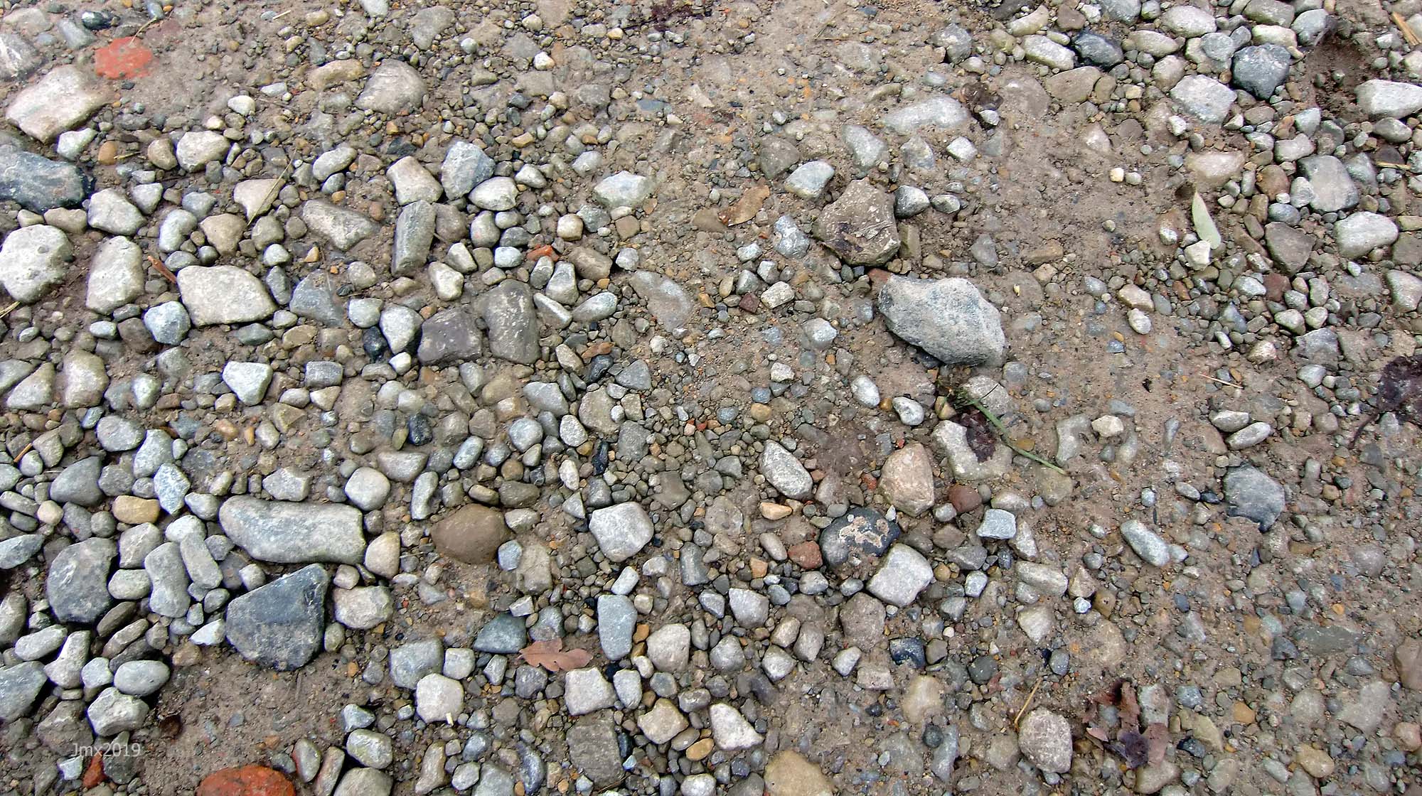
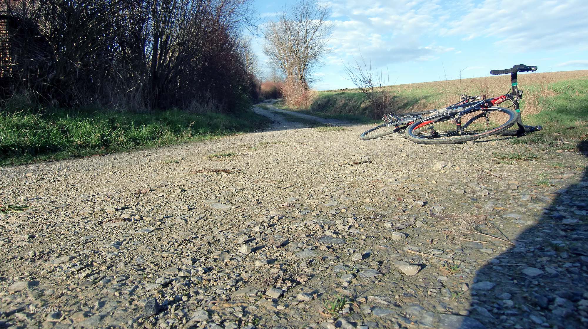
Gravel categories (this is purely subjective & made up by us)
We have graded the gravel 1 to 5 with 5 being the roughest (there is also an Hors Cat for very extreme).
Cat 1 – mostly hard packed and rideable on almost all bikes.
Cat 2 – often hard packed, a little rougher, potholes and challenging.
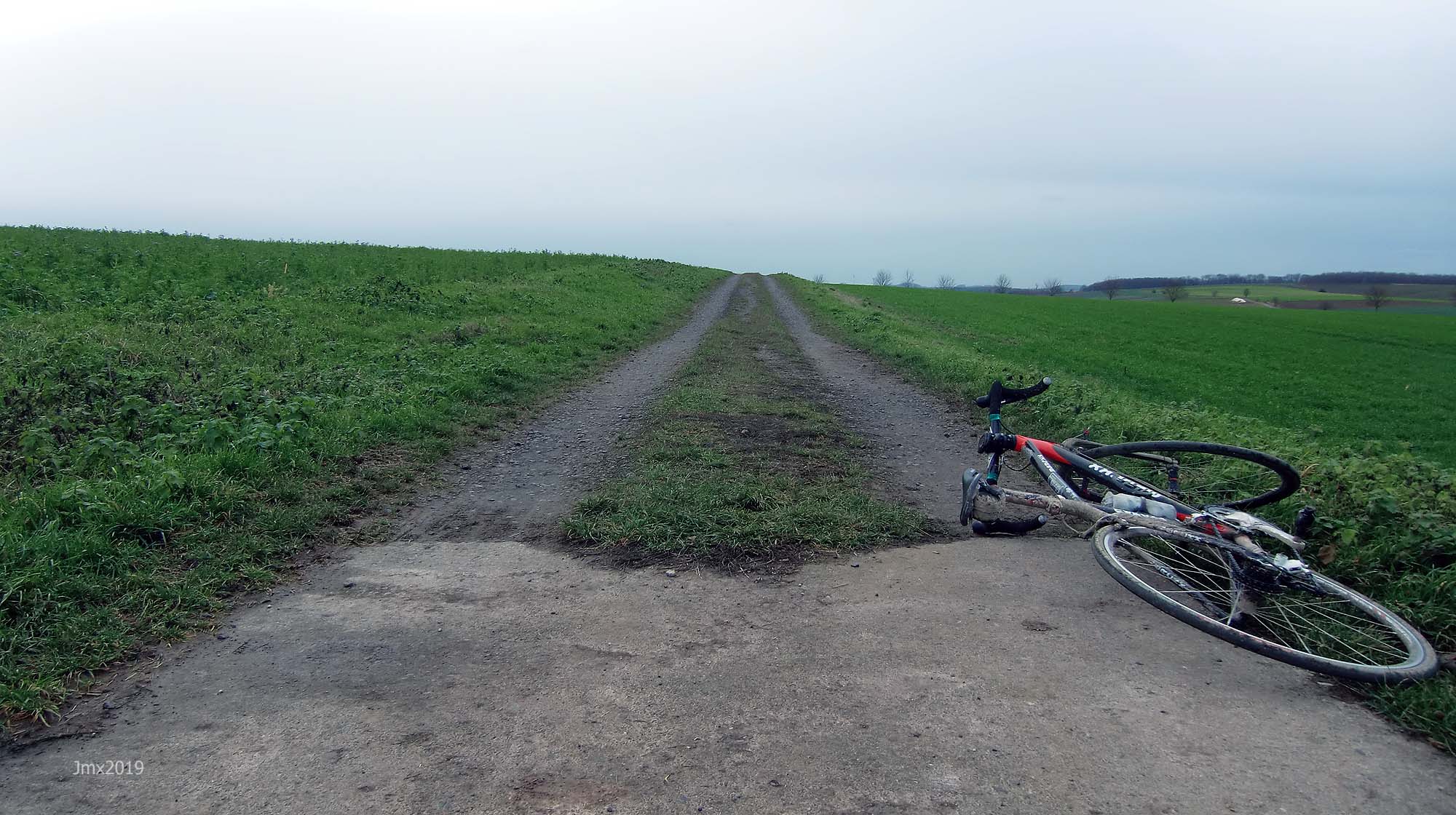
Cat 3 – loose surface, more ruts & potholes, gradient changes, bigger stones with greater caution required. (may include downhill or a turn)
Cat 4 – very rough, loose with larger stones and deep ruts/potholes.
Cat 5 – as 4 but may also be downhill, maybe tight turns or with single track and ruts.
HC – Mind bogglingly hard.
Gö Strade Bianche 84.17
51 Gravel sectors: 42.4km (approx.)
Public asphalt roads: 11.6km (approx.)
Farm roads/Cycle paths/Betonweg: 30.0km (approx.)
Climbs +
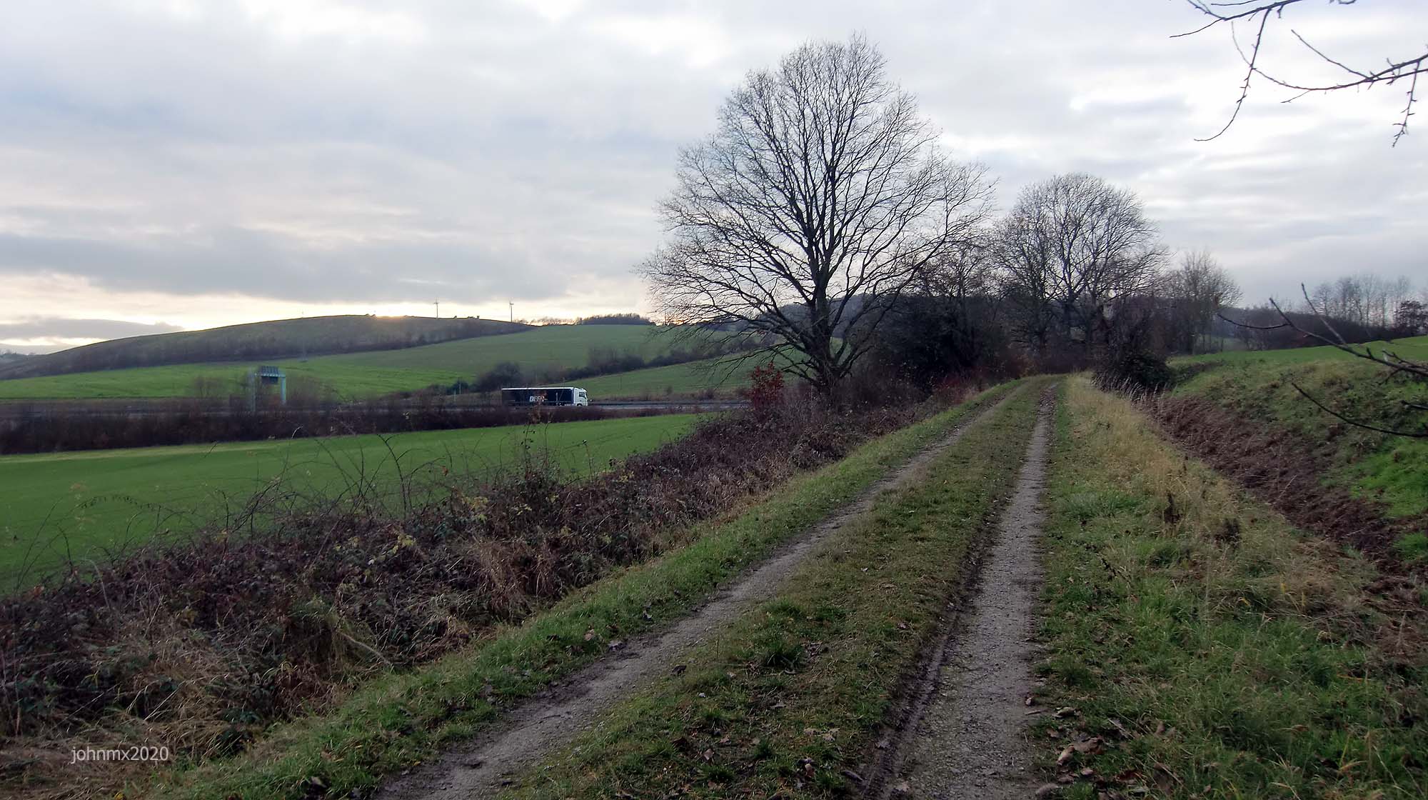
The route is not flat and the east-side return leg to the velodrome features a mixture of short sharp and longish climbs (they hurt your legs).
The Ride
Sector/Cat/@/length
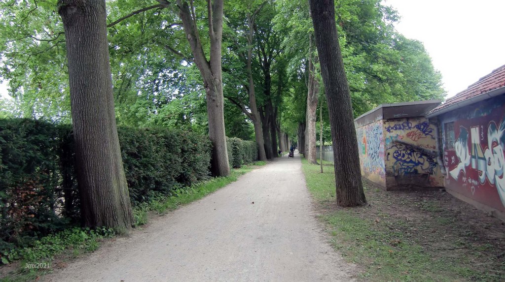
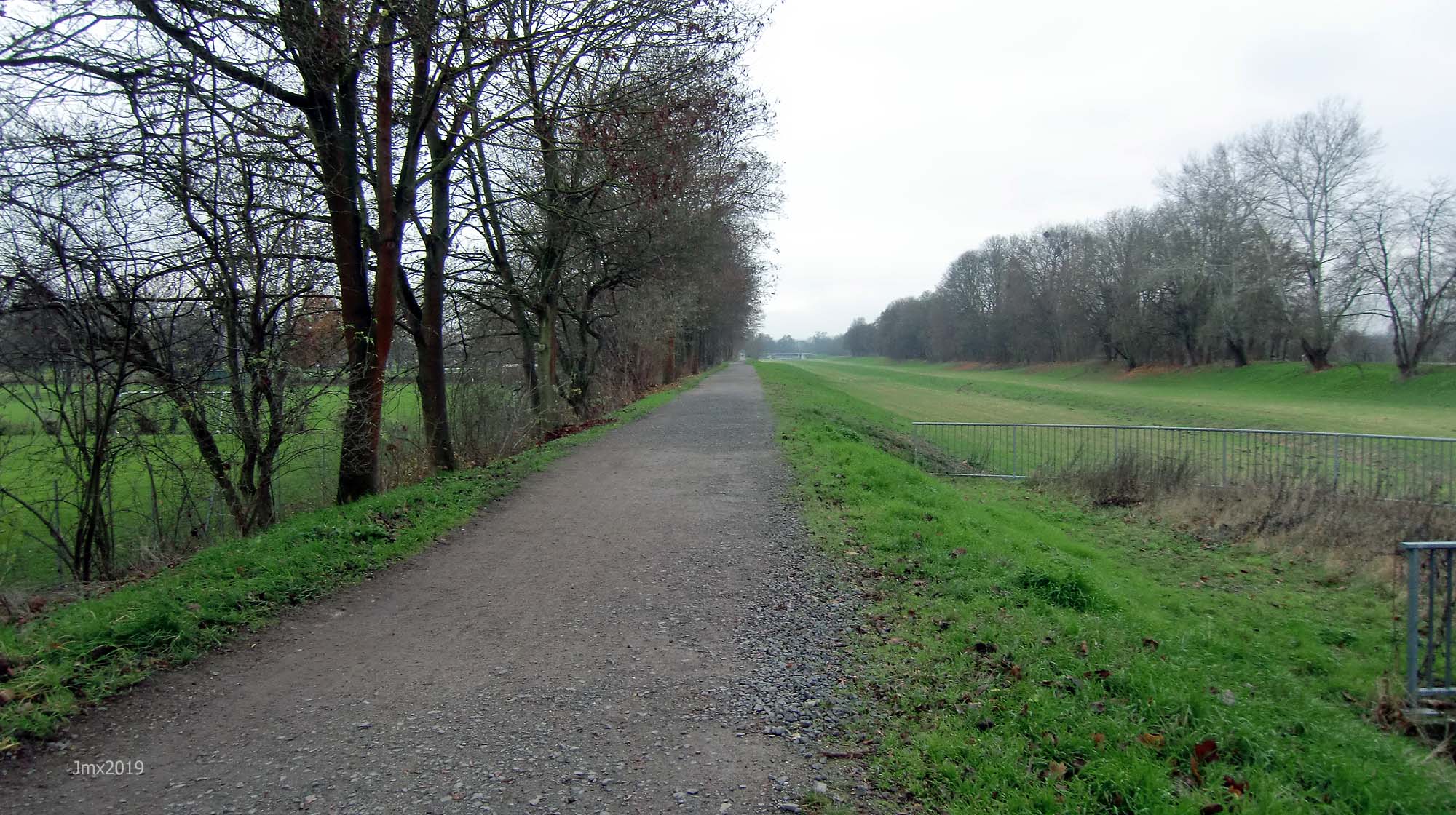
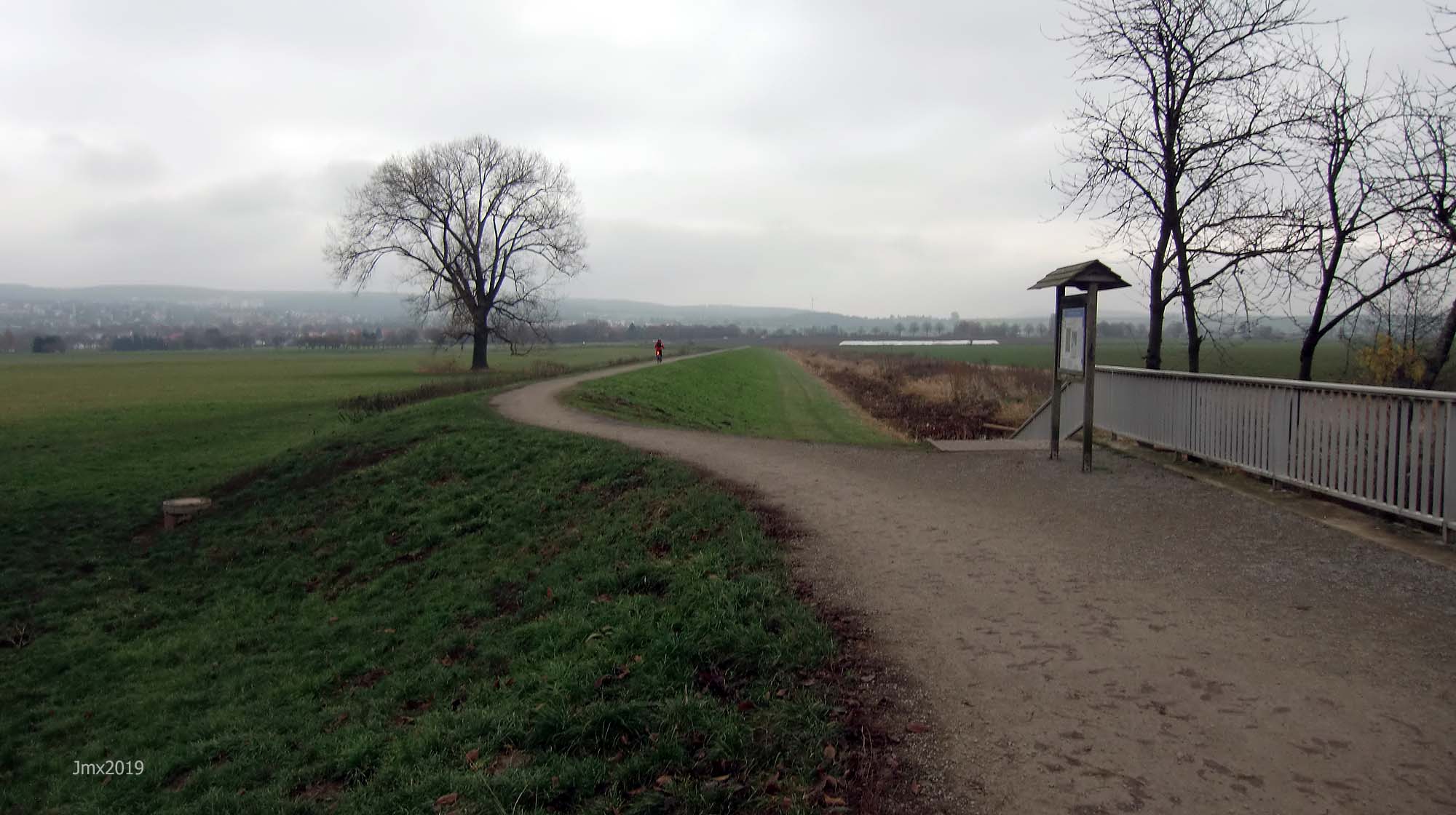
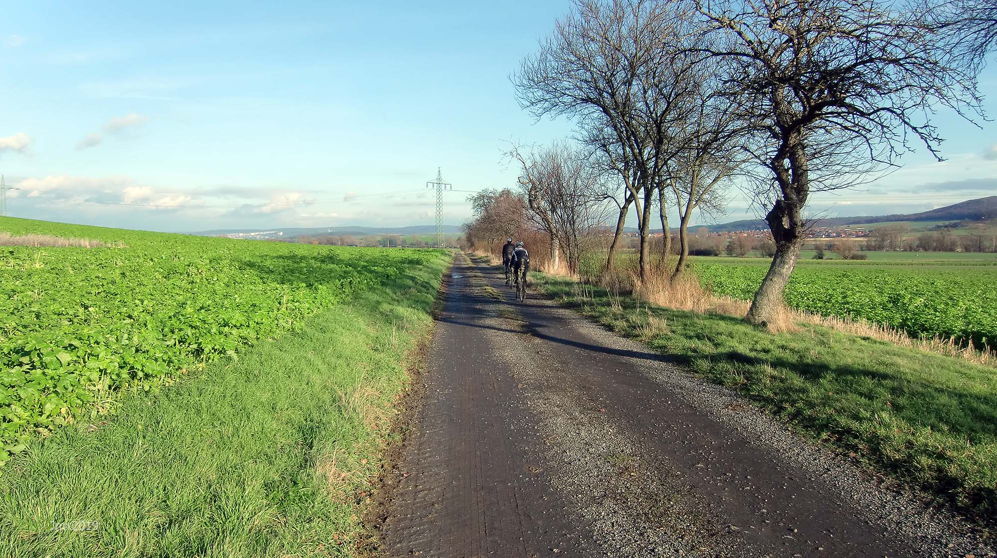
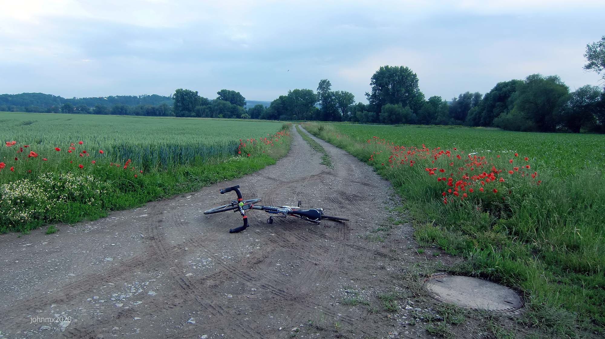
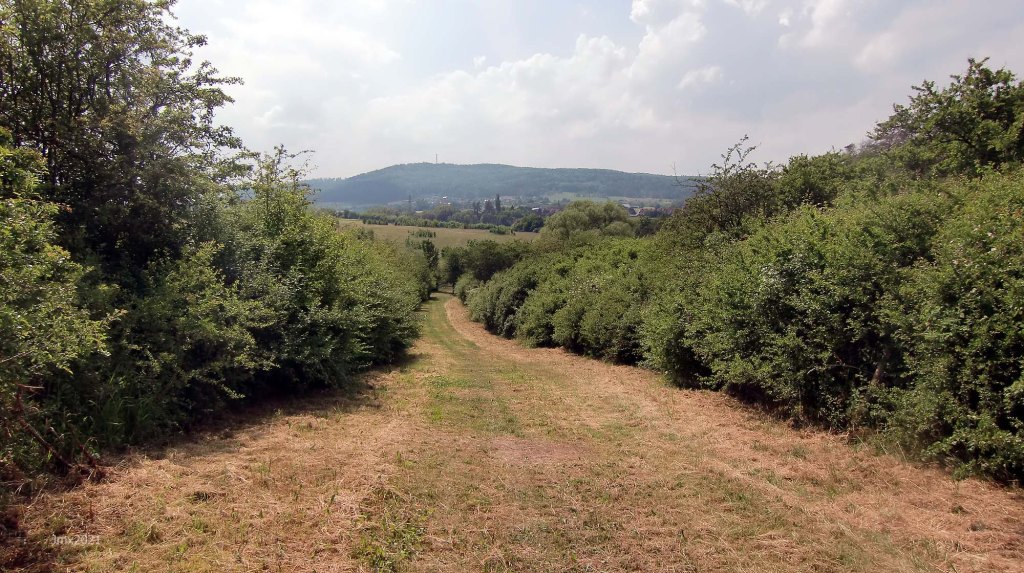
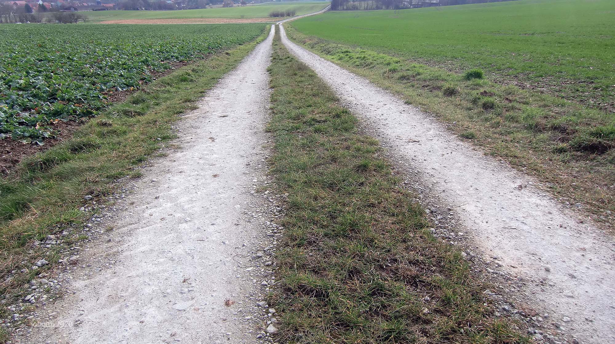
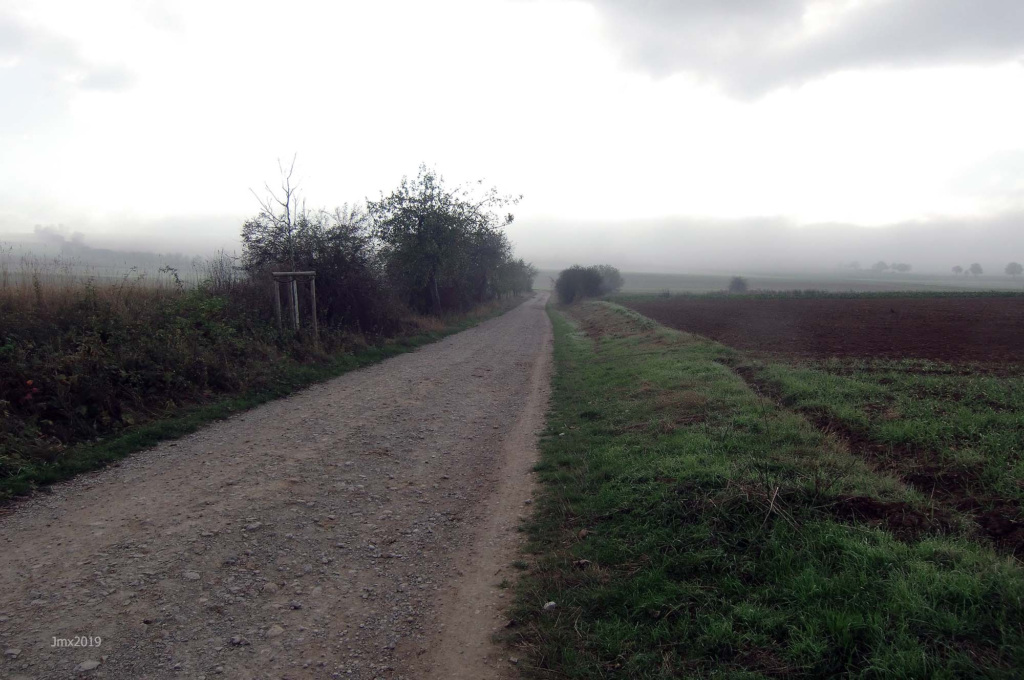
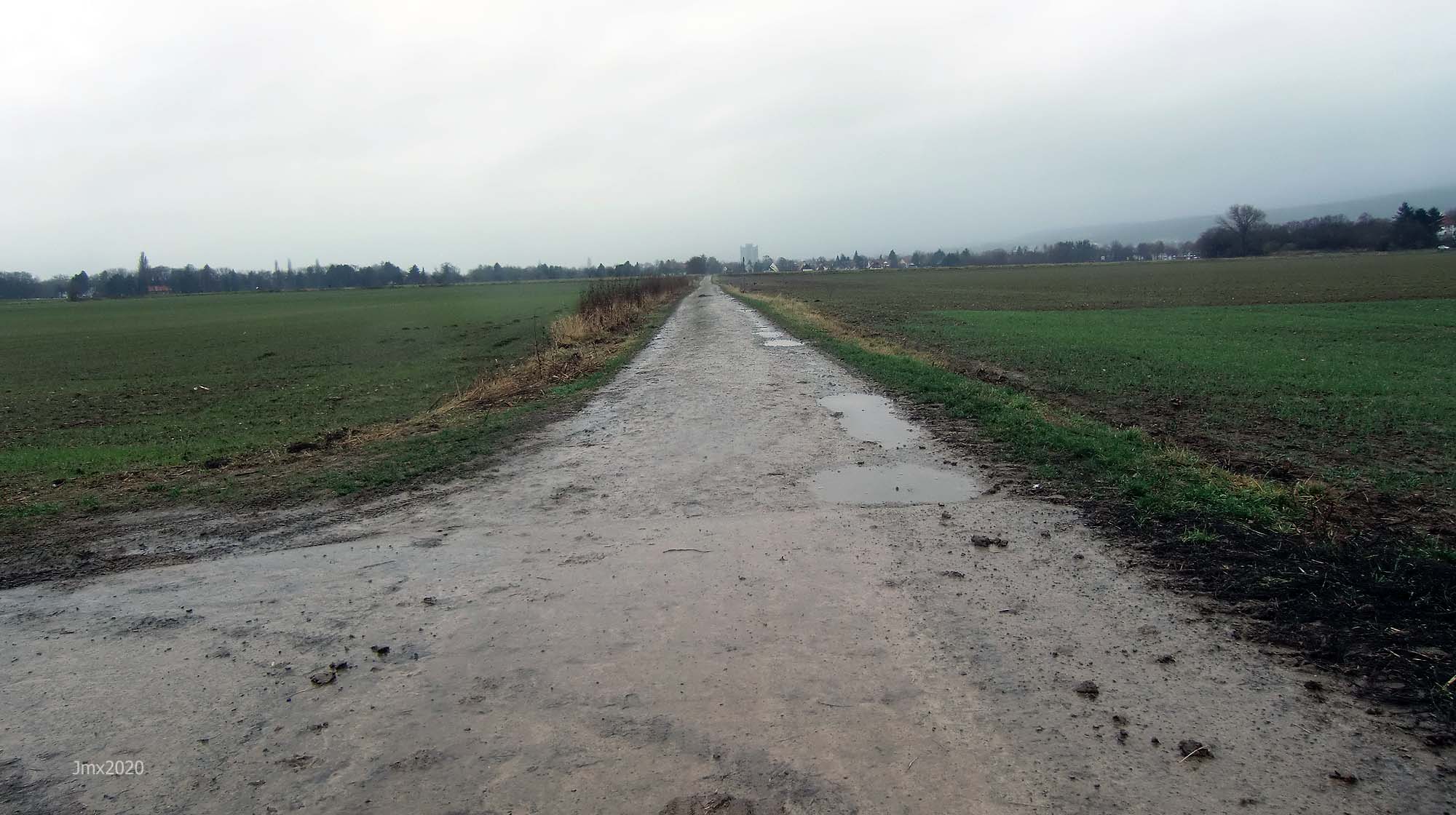
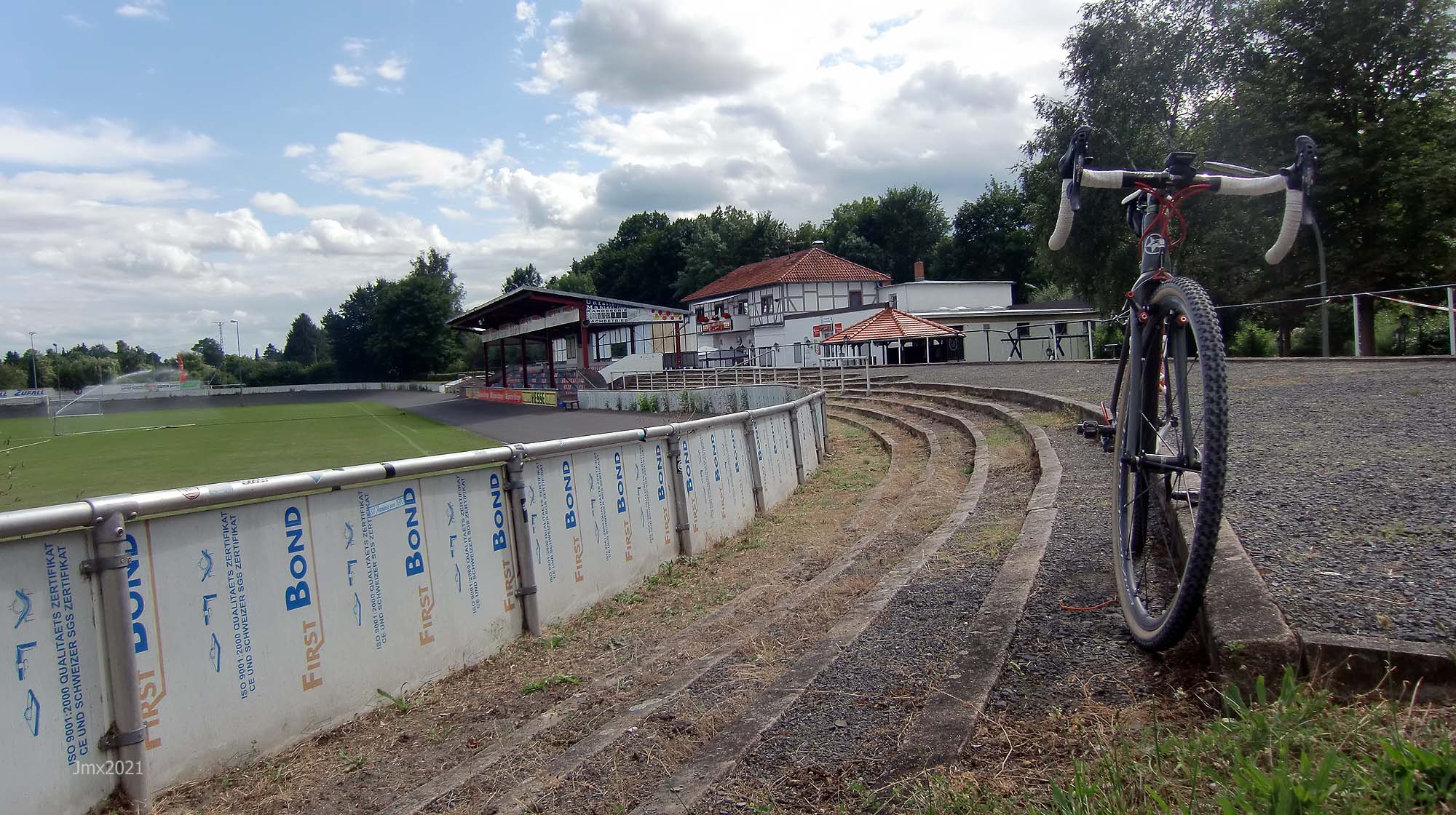
Göttingen Velodrome @ 0 – 0 km (The following pictures were taken at different times of the year, in July the area is full of wild-flowers and colour)

Sector 1a – Cat 1 @ 0.1 – 1.3km (a+b)
Sector 1b – Cat 1
Sector 2 – Cat 1 @ 1.4 – 0.5km
Sector 3 – Cat 1 @ 1.9 – 0.4km

Sector 4 – Cat 2 @ 3.0 – 0.5km
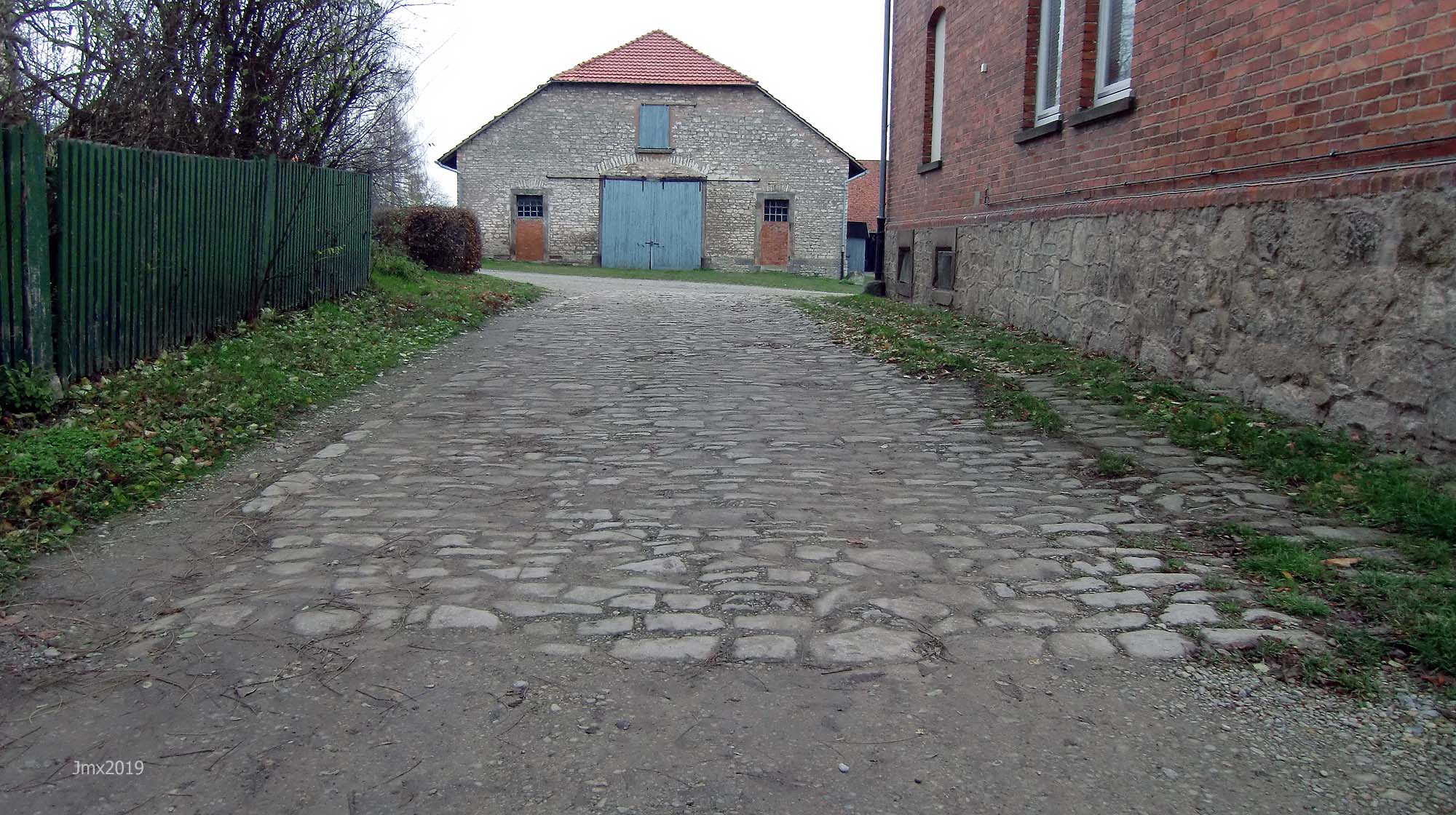
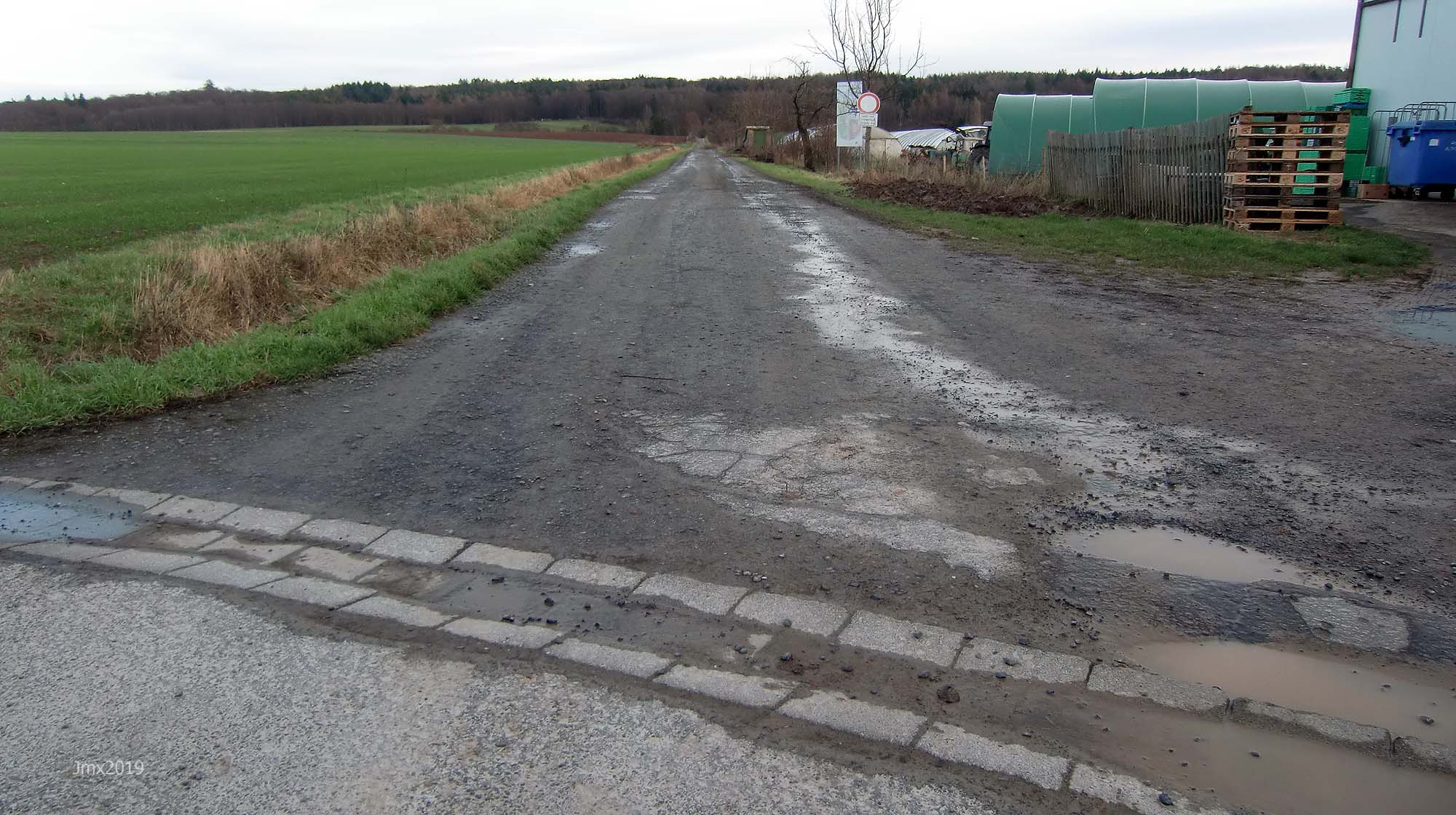
Sector 5 – Cat 3 @ 3.5 – 0.2km (Farm Yard, cobbles and loose large stones)
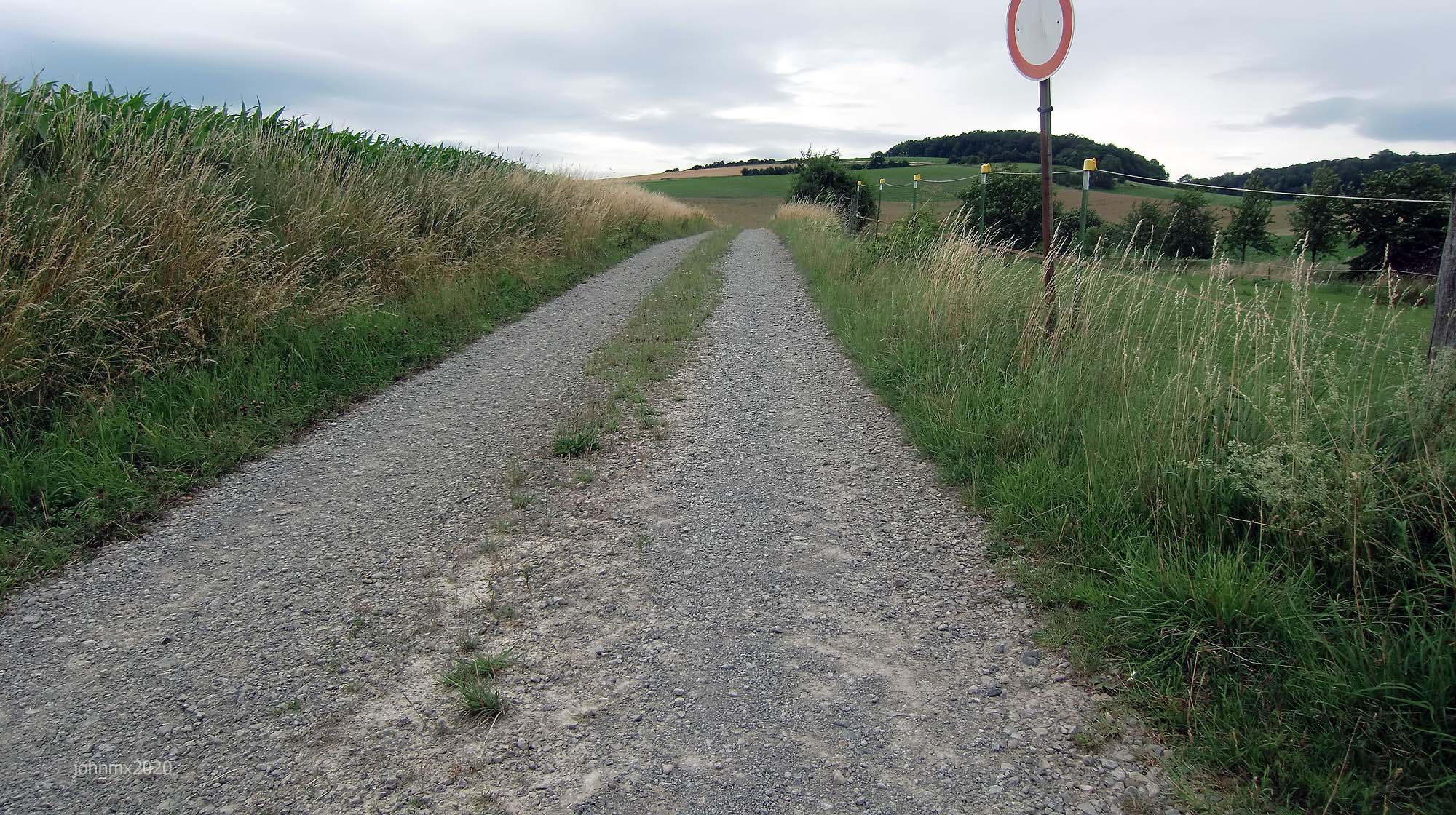
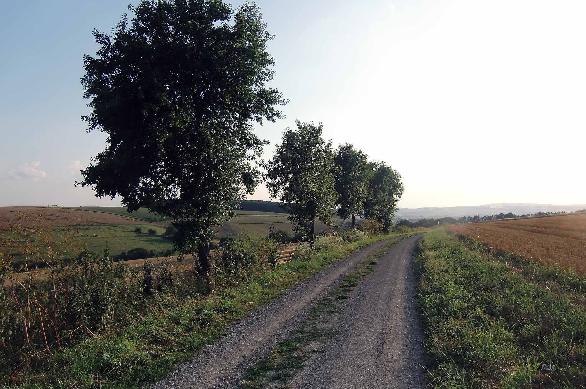
Sector 6 – Cat 2 @ 3.7 – 0.2km (Brilliant white in the summer)
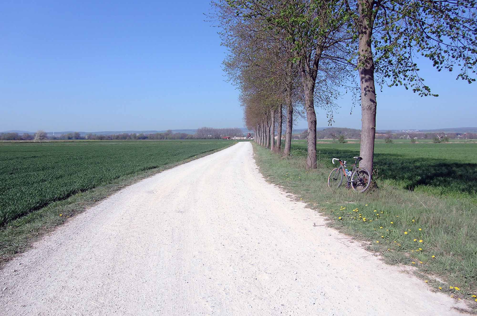
Sector 7 – Cat 2 @ 3.9 – 1.1km
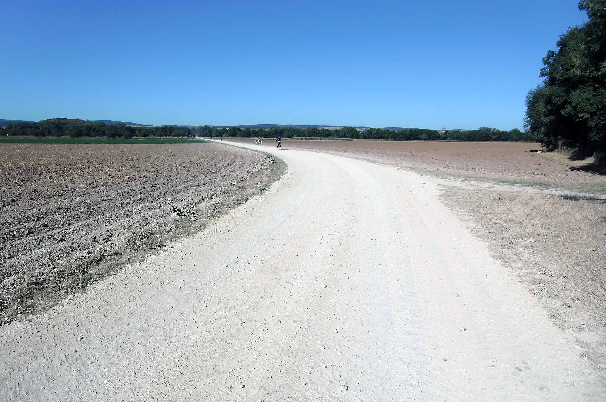
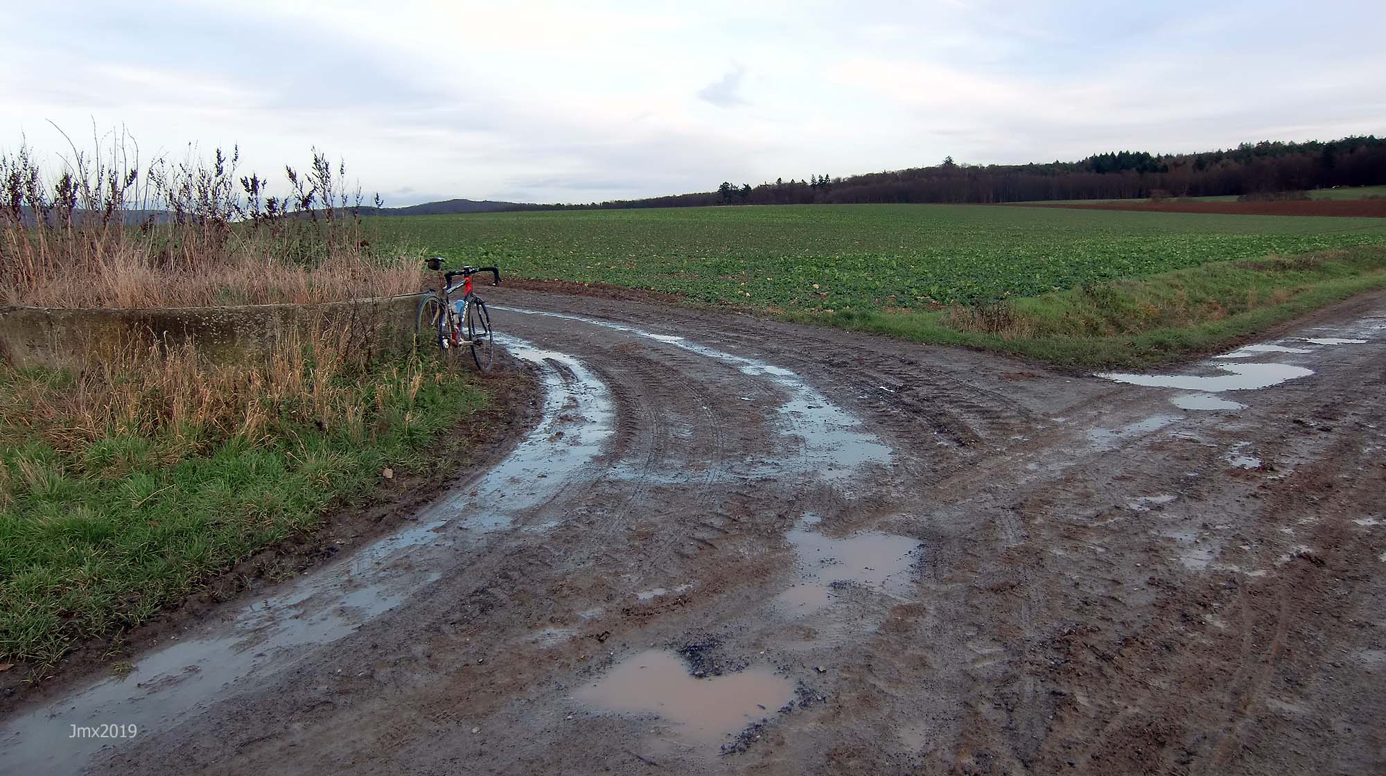
Summer
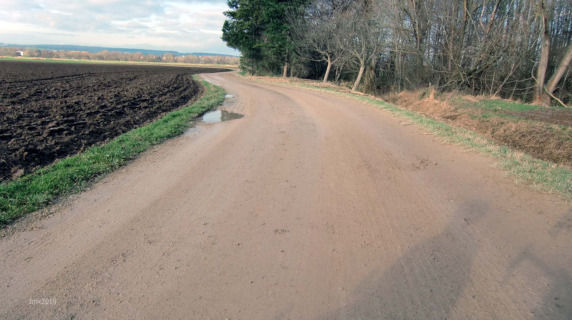
Winter
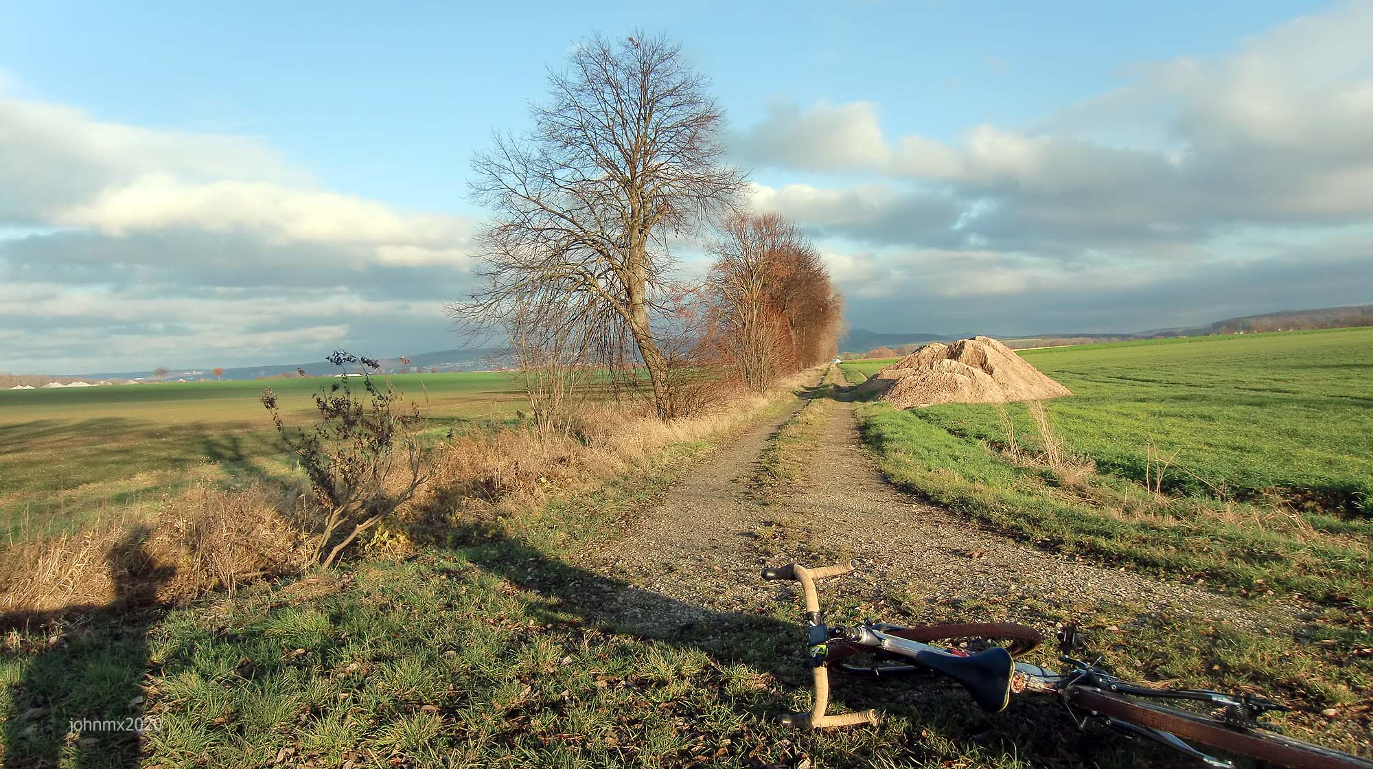
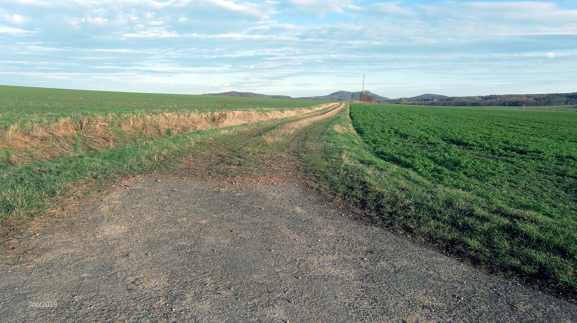
Gö West-Side Loop (10km) @ 5.2km
Fot this ride we include four sections of gravel on the West-Side of the Leine Valley where instead of turning left we continue across the main road and railway tracks into Rosdorf. A left turn begins a section of concrete and asphalt farm road/cycle path (2.8km) that can be busy with other users so be friendly especially under the road bridge!

Sector 8 – Cat 1 @ 8.6 – 0.6km

Sector 9 – Cat 2 @ 9.2 – 1.6km

Sector 10 – Cat 1 @ 11.6 – 0.3km
Sector 11 – Cat 3 @ 12.5 – 1.2km
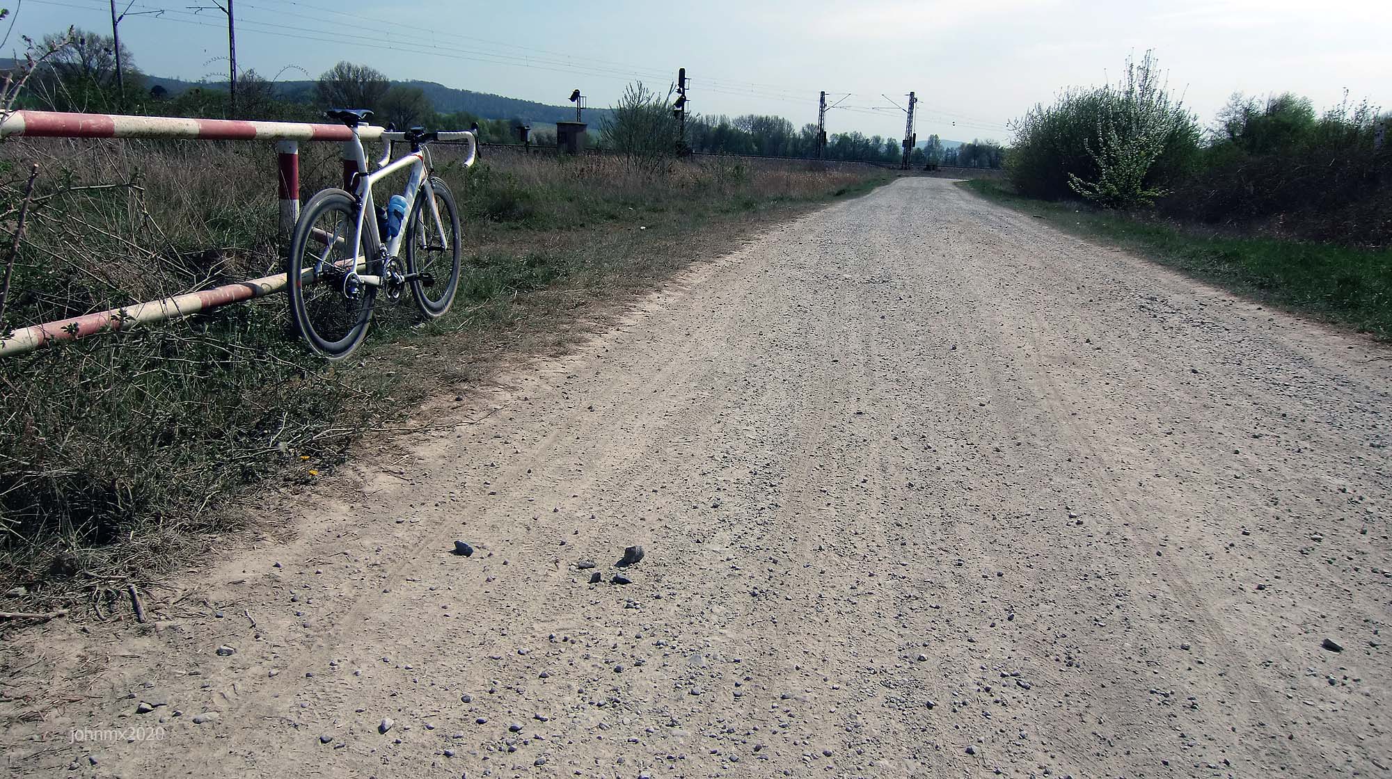
Niedernjesa Rail Crossing @ 15.1km
Sector 12 – Cat 1 @ 15.1 – 1.3km

Oberjesa @ 16.7km
Sector 13a – Cat 3 @ 17.5 – 0.8km (a+b)
Sector 13b – Cat 2
Sector 14 – Cat 3 @ 18.4 – 0.8km

Sector 15a – Cat 2 @ 19.8 – 0.4km (a+b+c)

Sector 15b – Cat 3 (Left turn)
Sector 15c – Cat 1

Sector 16 – Cat 2 @ 21.1 – 0.5km
Autobahn A38 @ 22.1km
Sector 17 – Cat 2 @ 22.5 – 0.6km

Sector 18a – Cat 2 @ 23.3 – 0.5km (a+b+c) (We cross into Hesse @25.3)
Sector 18b – Cat 2
+Sector 18c – Cat 3 (Ends with a stone littered climb)

Marzhausen @ 25.6km (We turn away just before the village)
Sector 19 – Cat 3 @ 25.6 – 0.4km

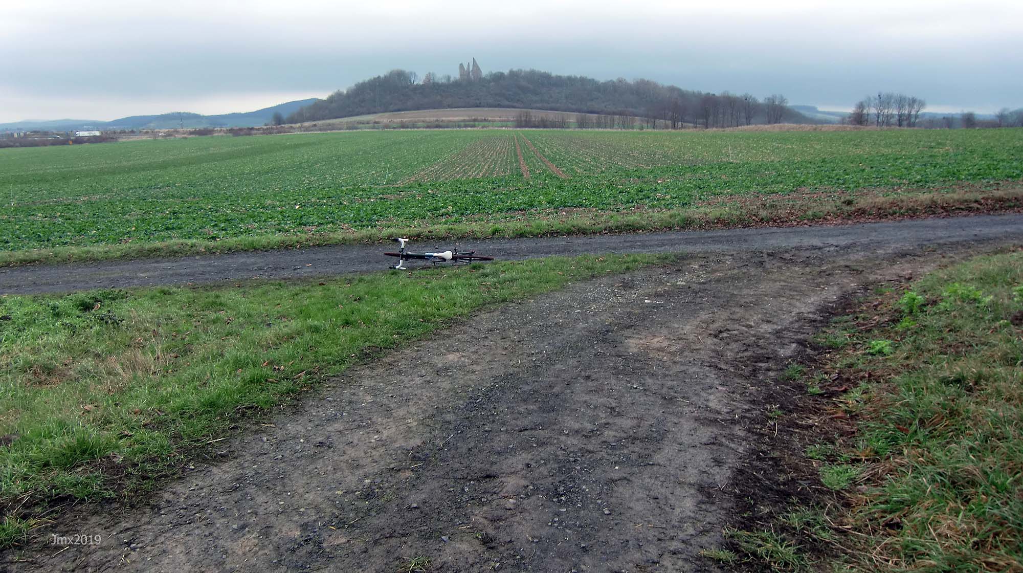
Sector 20 – Cat 1 @ 26.0 – 0.7km (Lower Saxony @26.2 & Friedland Denkmal sits atop the hill)
Elkerhausen @ 27.0km
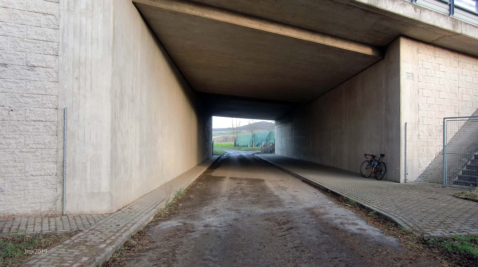
Sector 21 – Cat 2 @ 27.5 – 2.1km (A second time under the A38)
Klein Schneen @ 29.7km
Sector 22 – Cat 2 @ 30.7 – 0.6km
Sector 23 – Cat 2 @ 32.8 – 1.6km
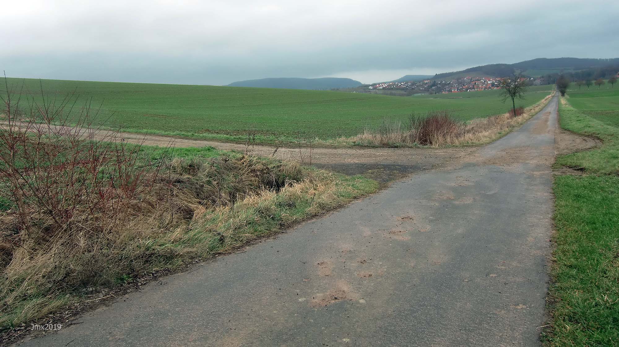
Friedland @ 34.8km (Where there is a railway station & Friedland Transit Camp plus monument)
Reckerhausen @ 36.6km (There is a bike shop here https://www.fahrradke.de/ and a Marshall Amp Museum– we turn right and cross over the Leine)
Sector 24a – Cat 1 @ 37.7 – 0.9 (The Autobahn is on the right)

Sector 24b – Cat 1 (Under the Autobahn)

Niedergandern @ 38.8km
Sector 25a – Cat 1 @ 38.8 – 0.8km (a+b)

Sector 25b – Cat 2 – (We join the defunct Arenshausen to Friedland Railway)

Sector 26a – Cat 2 @ 39.8 – 1.5km (a+b)

Sector 26b – Cat 2

Over the railway @ 41.5km
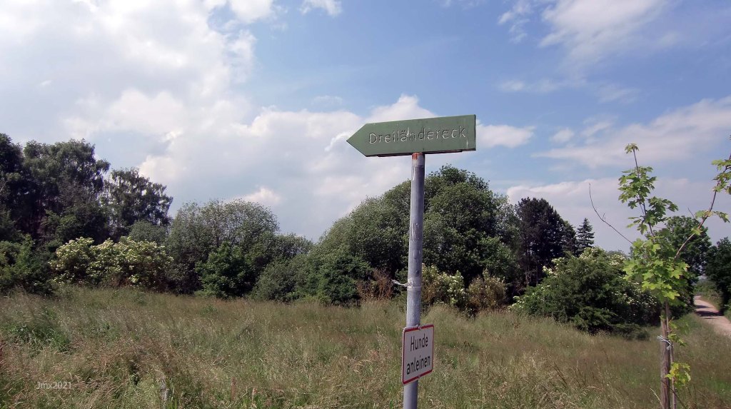
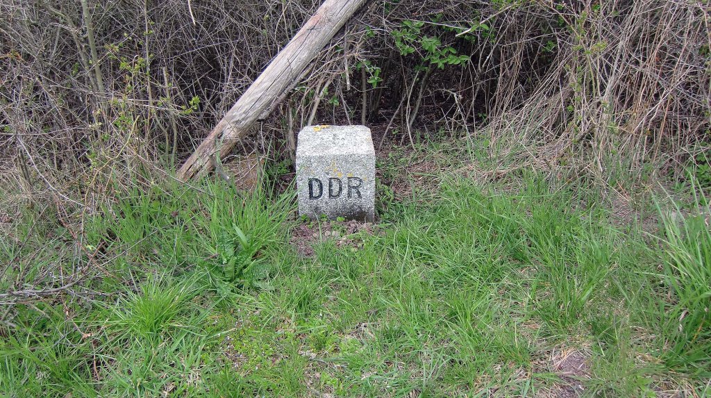
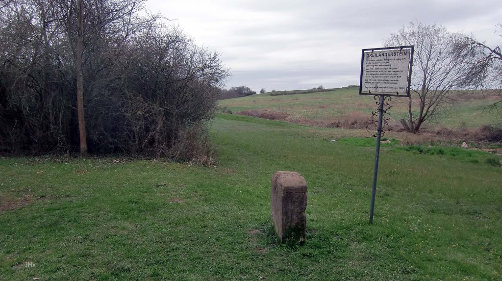
Into Thuringia/old DDR border @ 41.7 – Three Zones of Occupation met here. (you can detour to visit the Dreilanderstein pictured below)


Sector 27 – Cat 2 @ 41.6 – 0.5km
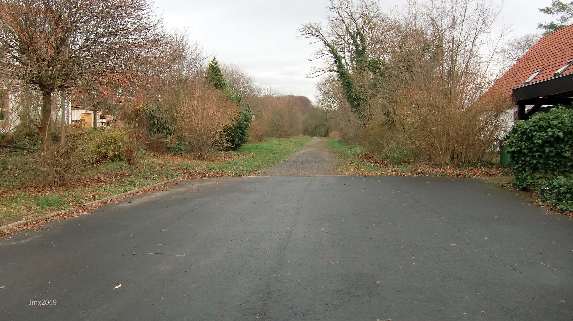
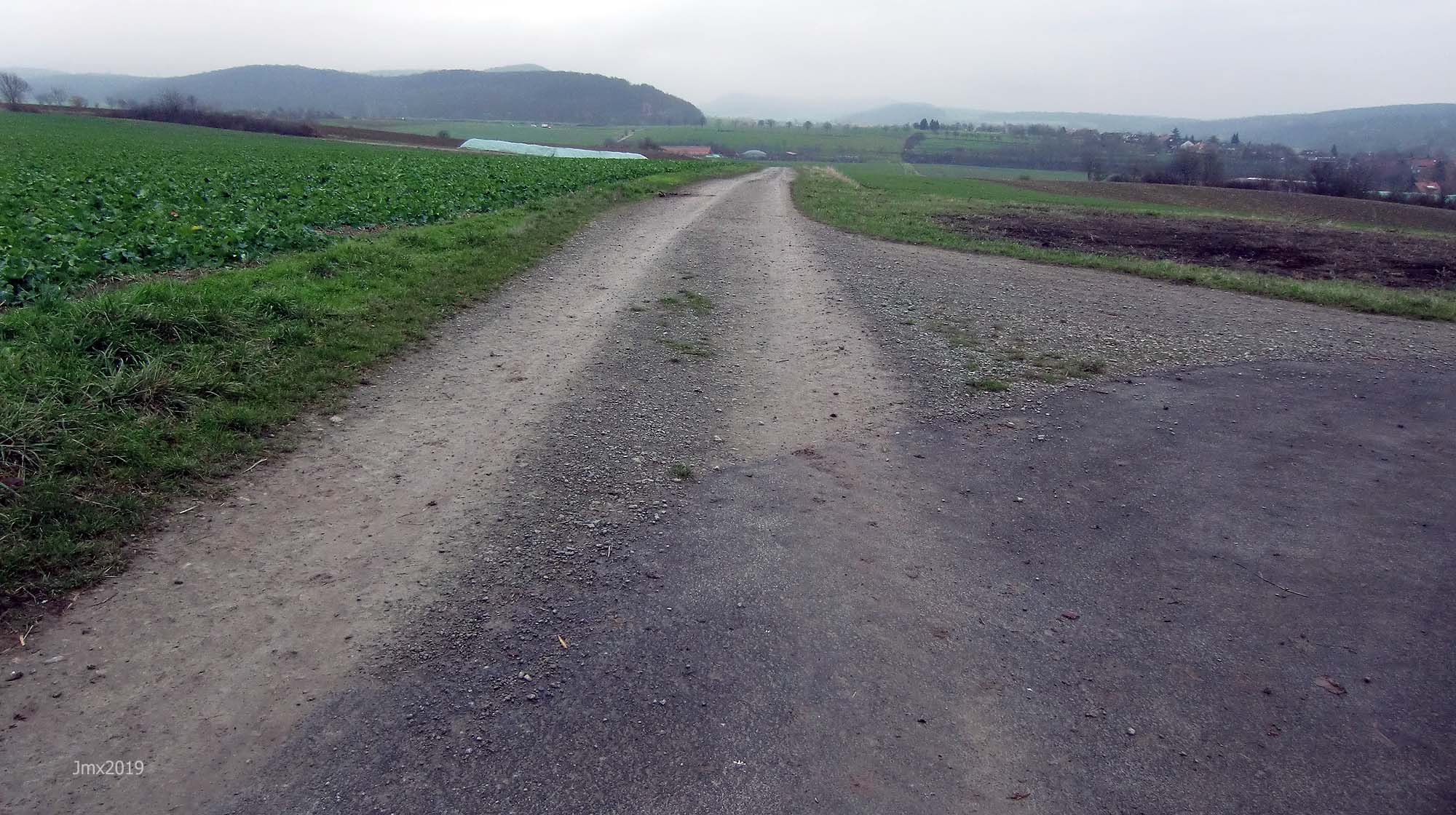
Asphalt into Hohengandern @ 42.0km (A chance to rest the bones before we head back to Gö over sections of hilly gravel)

Into Lower Saxony @ 43.5km
Niedergandern @ 45.0km
Besenhausen @ 46.0km (There is a cafe and toilets here – Wednesday to Sunday from 1pm – not winter)
+Sector 28a – Cat 2 @ 46.2 – 2.4km (a+b+c+d) (An information board highlights that the Internal Border ran along the right until 1989)


Sector 28b – Cat 1
Sector 28c – Cat 1 (The Autobahn on the right)
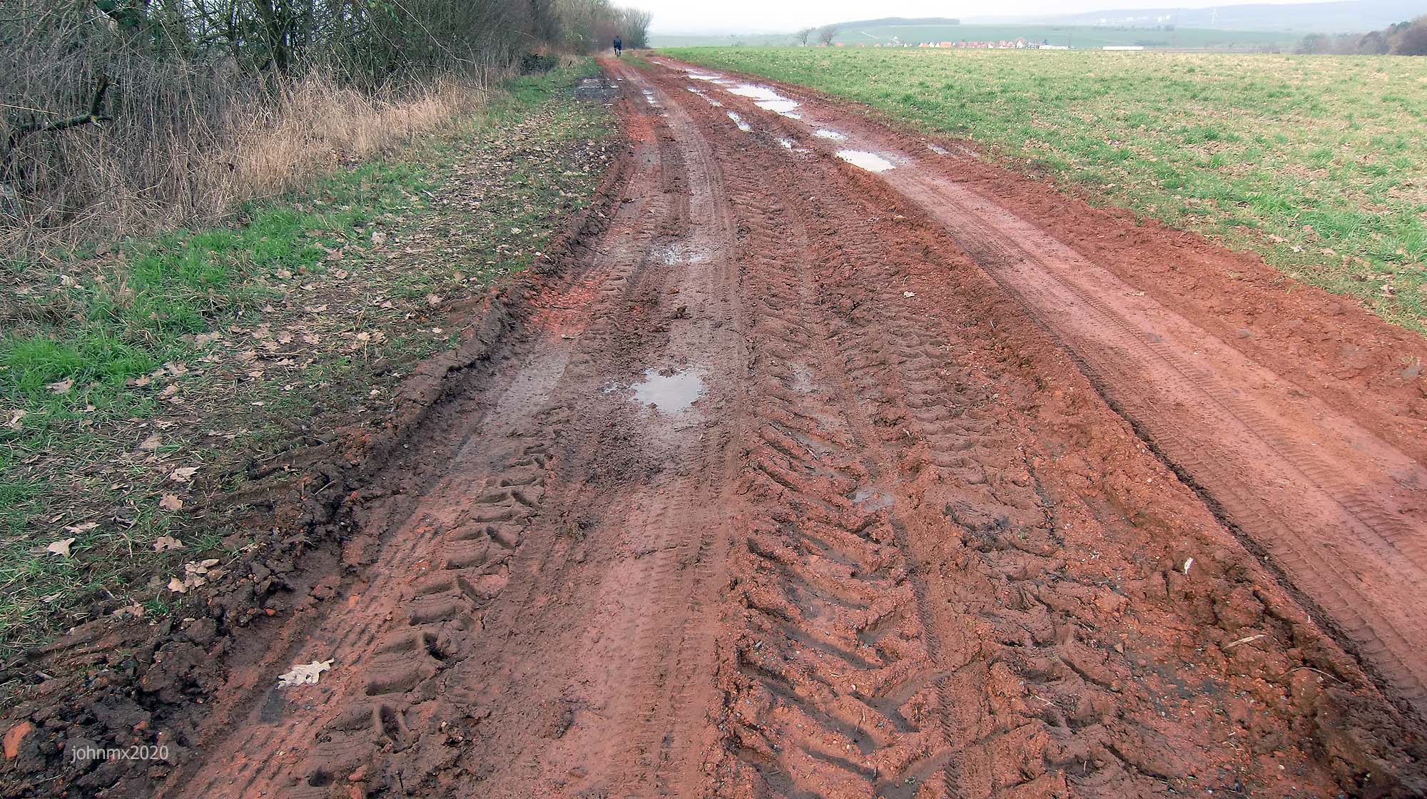
Sector 28d – Cat 2 (Under the Autobahn yet again where it can be tricky with mud)

+Sector 29a – Cat 1 @ 49.8 – 2.2 (a+b+c+d+e) (This is a tough section of hills but there is the ´reward´ of an asphalt climb to come)
+Sector 29b – Cat 2

+Sector 29c – Cat 2
Sector 29d – Cat 1 (We left turn away from Reiffenhausen)

+Sector 29e – Cat 2

+´Relief´ @ 52.1 km (We turn off the gravel and head for an asphalt climb rising up onto the hill, getting respite from the gravel with the joy of two fast descents to the next section of rough stuff)
Ludolfhausen @ 53.9km

Turn right off the smooth and fast road.
Sector 30 – Cat 3 @ 57.2 – 1.3km (´Red´ strade followed by a fast gradual descent)
Sector 31 – Cat 1 @ 58.6 – 0.5km (Ballenhausen ahead)

Ballenhausen @ 59.0 km
Sector 32a – Cat 2 @ 59.1 – 1.2km (a+b)
Sector 32b – Cat 2
Hasenwinkel @ 60.2km
Ballenhausen @ 62.0km (2nd time)
+Sector 33 – Cat 3 @ 62.1 – 0.2km (A sharp climb)

Sector 34a – Cat 2 @ 62.8 – 0.5km (a+b)
Sector 34b – Cat 2

+Sector 35 – Cat 3 @ 63.8 – 0.3km (Climb after a downward sharp left turn)

Sector 36 – Cat 3 @ 64.7 – 0.4km (Off the Betonweg descent)


Reinhausen @ 65.5km
+Sector 37 – Cat 2 @ 66.1 – 1.4km
Sector 38 – Cat 1 @ 67.0 – 0.4km
Diemarden @ 68.6km
Sector 39a – Cat 1 @ 69.2 – 1.5km (a+b)
+Sector 39b – Cat 2

Sector 40a – Cat 2 @ 70.1 – 1.5km (a+b+c)
+Sector 40b – Cat 2

Sector 40c – Cat 1 (Right turn before the watchtower)

Sector 41 – Cat 1 @ 72.6 – 0.1km (The shortest section of gravel)
Sector 42 – Cat 1 @ 73.0 – 0.5km

Sector 43 – Cat 3 @ 73.4 – 0.6km. (This difficult downhill section is dedicated to the Dengie Tour)

Geismar @ 75.3km
Sector 44 – Cat 2 @ 75.7 – 0.9km (Features a cat 3 right turn)
Sector 45 – Cat 1 @ 76.4 – 0.5km

Sector 46a – Cat 2 @ 77.5 – 0.7km (a+b)

Sector 46b – Cat 2

Sector 47 – Cat 2 @ 78.8 – 1.0km
Sector 48 – Cat 2 @ 80.3 – 0.4km (Cross the B27 with care!!!!)
Sector 49 – Cat 2 @ 81.0 – 0.4km
Sector 50 – Cat 1 @ 81.4 – 0.5km (Sector 2 reversed)

Sector 51a – Cat 1 @ 82.3 – 1.2km (a+b) (Sector 1b reversed)

Sector 51b – Cat 1 (Sector 1a reversed)

End at Velodrome @ 84.17km (This includes one lap of the velodrome at ride end)
Sector/Cat/@/length
Göttingen Velodrome @ 0 – 0 km
Sector 1 – Cat 1 @: 0.1 – 1.3km (a+b)
Sector 2 – Cat 1 @: 1.4 – 0.5km
Sector 3 – Cat 1 @: 1.9 – 0.4km
Sector 4 – Cat 2 @: 3.0 – 0.5km
Sector 5 – Cat 3 @: 3.5 – 0.2km
Sector 6 – Cat 2 @: 3.7 – 0.2km
Sector 7 – Cat 2 @: 3.9 – 1.1km
Gö West-Side Loop (10km) @ 5.2km
Sector 8 – Cat 1 @: 8.6km– 0.6km
Sector 9 – Cat 2 @: 9.2 – 1.6km
Sector 10 – Cat 1 @: 11.6 – 0.3km
Sector 11 – Cat 3 @: 12.5 – 1.2km
Niedernjesa Rail Crossing @ 15.1km
Sector 12 – Cat 1 @: 15.1 – 1.3km
Oberjesa @ 16.7km
Sector 13 – Cat 3 @: 17.5 – 0.8km (a+b)
Sector 14 – Cat 3 @: 18.4 – 0.8km
Sector 15 – Cat 3 @: 19.8 – 0.4km (a+b+c)
Sector 16 – Cat 2 @: 21.1 – 0.5km
Autobahn A38 @ 22.1km
Sector 17 – Cat 2 @: 22.5 – 0.6
+Sector 18 – Cat 2 @: 23.3 – 0.5km (a+b+c)
Hesse @25.3
Marzhausen @ 25.6km
Sector 19 – Cat 3 @: 25.6 – 0.4km
Sector 20 – Cat 1 @: 26.0 – 0.7km
Lower Saxony @26.2
Elkerhausen @ 27.0km
Sector 21 – Cat 2 @: 27.5 – 2.1km
Klein Schneen @ 29.7km
Sector 22 – Cat 2 @ @ 30.7 – 0.6km
Sector 23 – Cat 3 @ 32.8 – 1.6km
Friedland @ 34.8km (rail station & Friedland Transit Camp)
Reckerhausen @ 36.6km
Sector 24 – Cat 1 @ 37.7 – 0.9 (a+b)
Niedergandern @ 38.8km
Sector 25 – Cat 2 @: 38.8 – 0.8km (a+b)
Sector 26 – Cat 2 @: 39.8 – 1.5km (a+b)
Over the railway @ 41.5km
Into Thurnigia/old DDR border @41.7
Sector 27 – Cat 2 @: 41.6 – 0.5km
Asphalt to Hohengandern @ 42.0km
Into Lower Saxony @43.5km
Niedergandern @ 45.0km
Besenhausen @ 46.0km
+Sector 28 – Cat 2 @ 46.2 – 2.4 (a+b+c+d)
+Sector 29 – Cat 1 @ 49.8 – 2.2 (a+b+c+d+e)
+´Relief´ @ 52.1 km (asphalt climb)
Ludolfhausen @ 53.9km
+Sector 30- Cat 3 @ 57.2 – 1.3km
Sector 31 – Cat 1 @ 58.6 – 0.5km
Ballenhausen @ 59.0 km
Sector 32 – Cat 2 @: 59.1 – 1.2km (a+b)
Hasenwinkel @ 60.2km
Ballenhausen @ 62.0km (2nd time)
+Sector 33 – Cat 2 @: 62.1 – 0.2km
Sector 34 – Cat 2 @: 62.8 – 0.5km (a+b)
+Sector 35 – Cat 3 @: 63.8 – 0.3km
Sector 36- Cat 3 @: 64.7 – 0.4km
Reinhausen @ 65.5km
+Sector 37 – Cat 2 @: 66.1 – 1.4km
Sector 38 – Cat 1 @: 67.0 – 0.4km
Diemarden @ 68.6km
+Sector 39 – Cat 1 @: 69.2 – 1.5km (a+b)
Sector 40 – Cat 2 @: 70.1 – 1.5km (a+b+c)
Sector 41 – Cat 1 @: 72.6 – 0.1km
Sector 42 – Cat 1 @ 73.0 – 0.5km
Sector 43 – Cat 3 @: 73.4 – 0.6km
Geismar @ 75.3km
Sector 44 – Cat 2 @: 75.7 – 0.9km
Sector 45 – Cat 1 @: 76.4 – 0.5km (a+b)
Sector 46 – Cat 2 @: 77.5 – 0.7km (a+b)
Sector 47 – Cat 2 @: 78.8 – 1.0km
Sector 48 – Cat 2 @ 80.3 – 0.4km
Sector 49 – Cat 2 @ 81.0 – 0.4km
Sector 50 – Cat 1 @ 81.4 – 0.5km (Sector 2 reversed)
Sector 51 – Cat 1 @: 82.3 – 1.2km (a+b)
End at Velodrome @ 84.17km (Plus one lap of the velodrome at ride end)
Want to ride it?
This is an informal ride and a suggested route only. If you would like to ride it with us do make contact. Or of course you may ride it at your own time and if you do, it would be great to hear from you – https://veloklubhaus.com/contact/.
